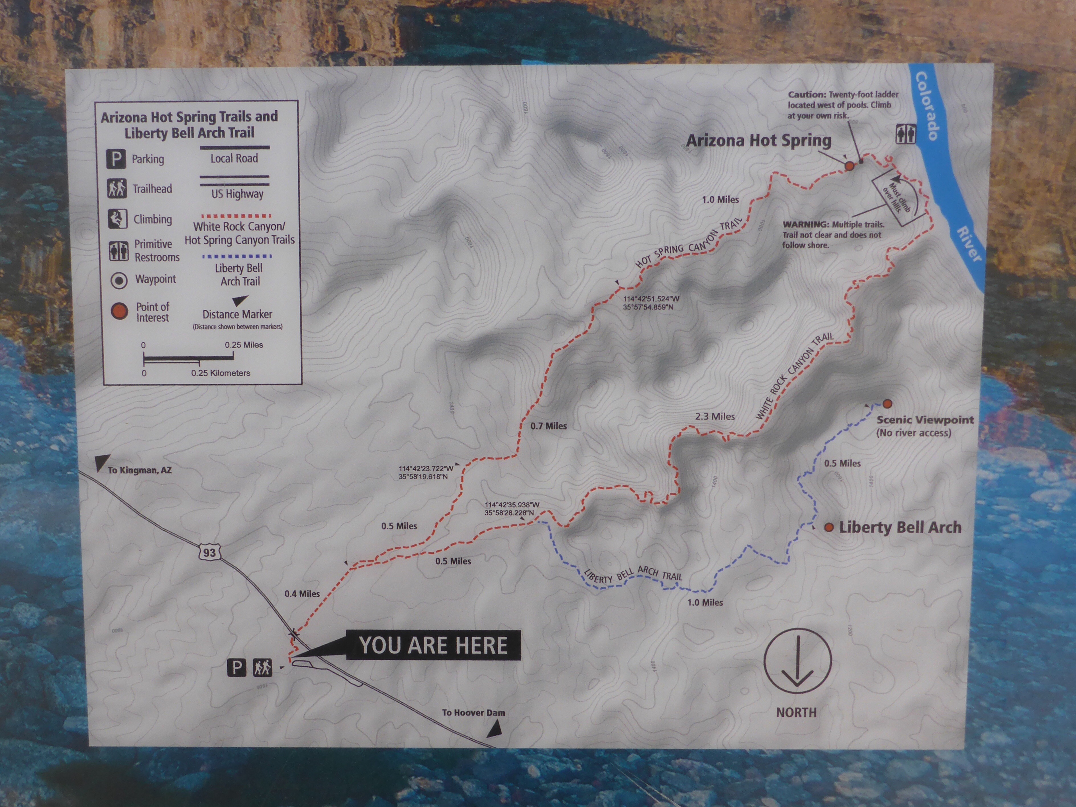
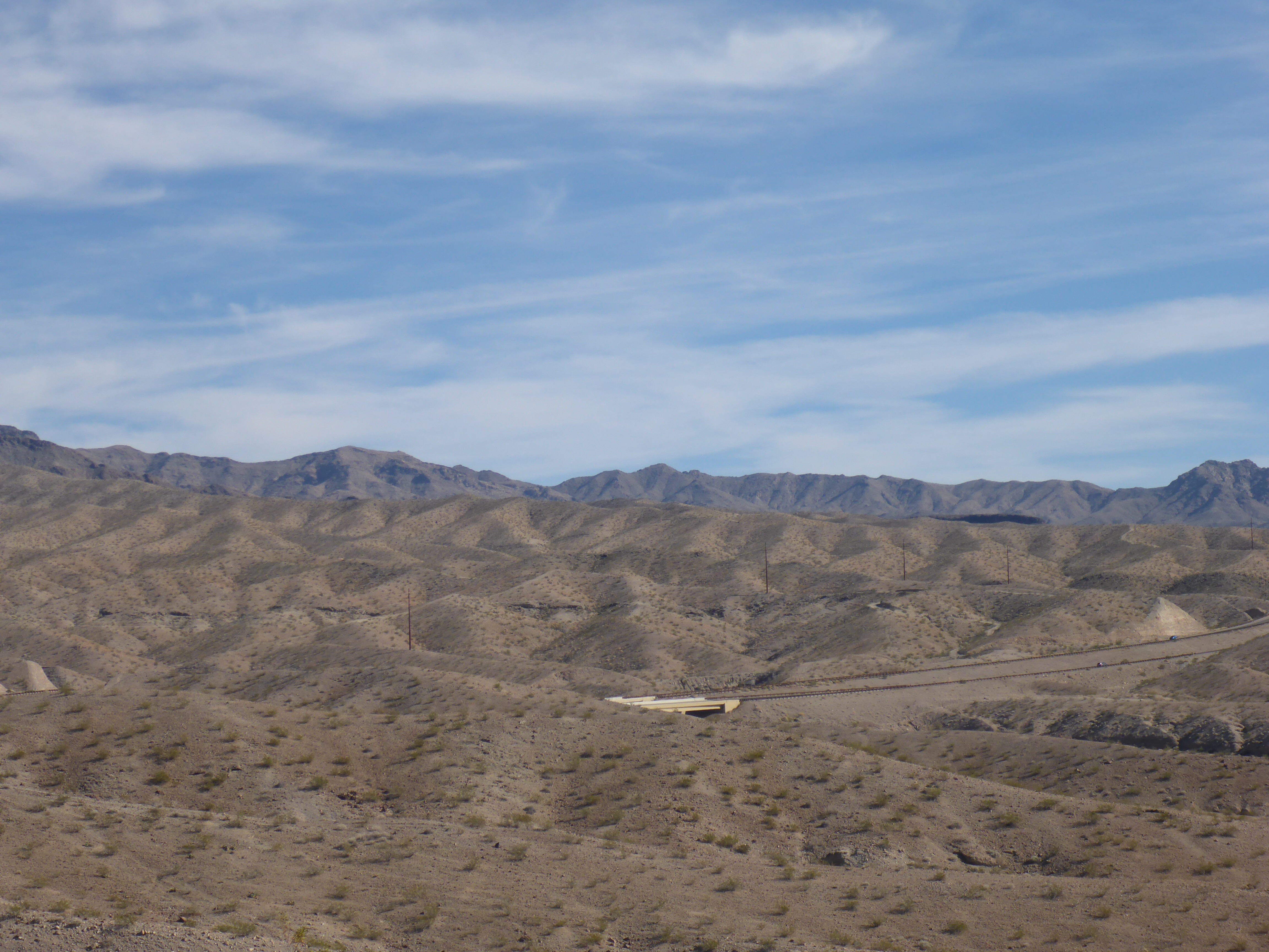
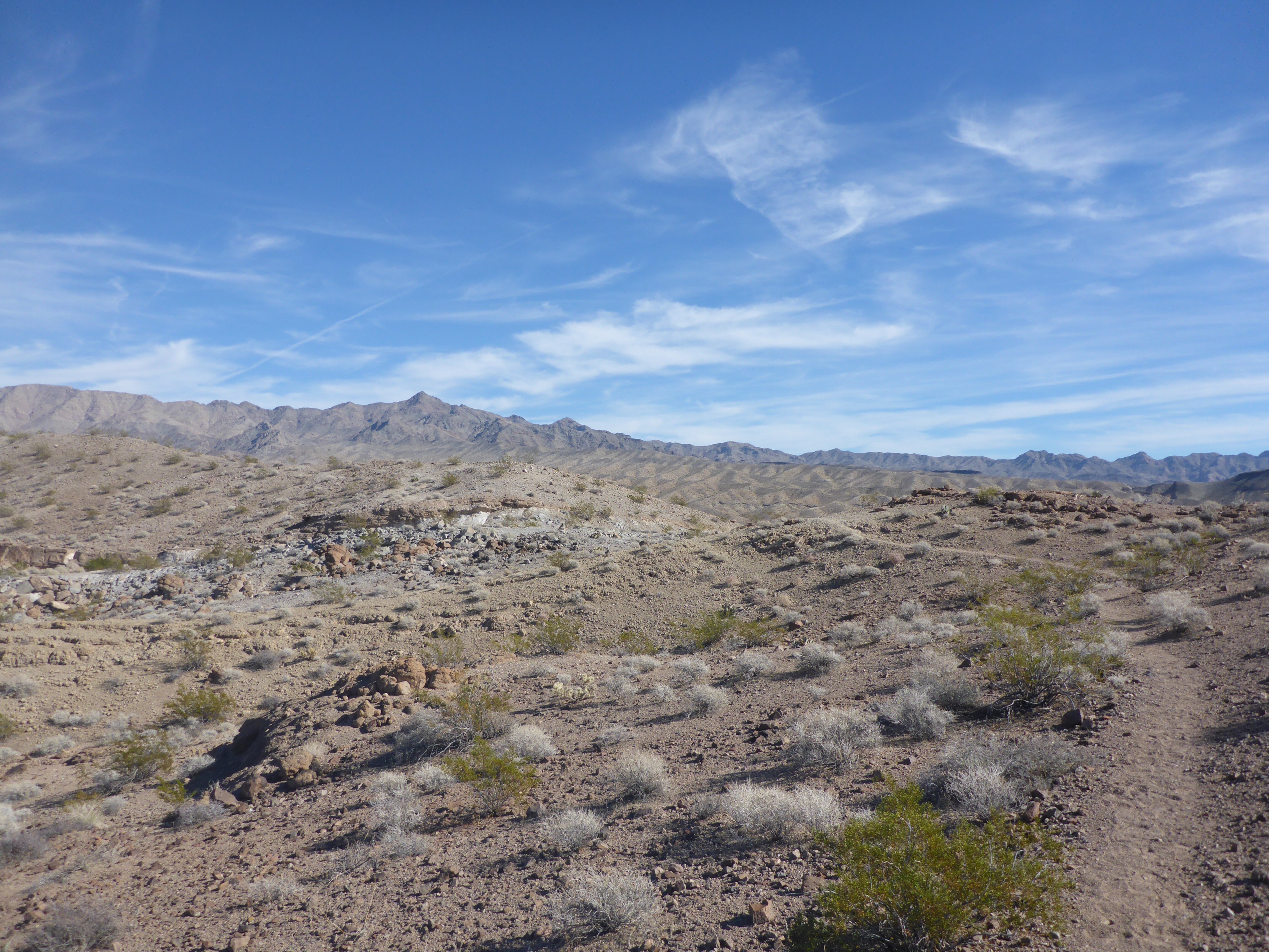
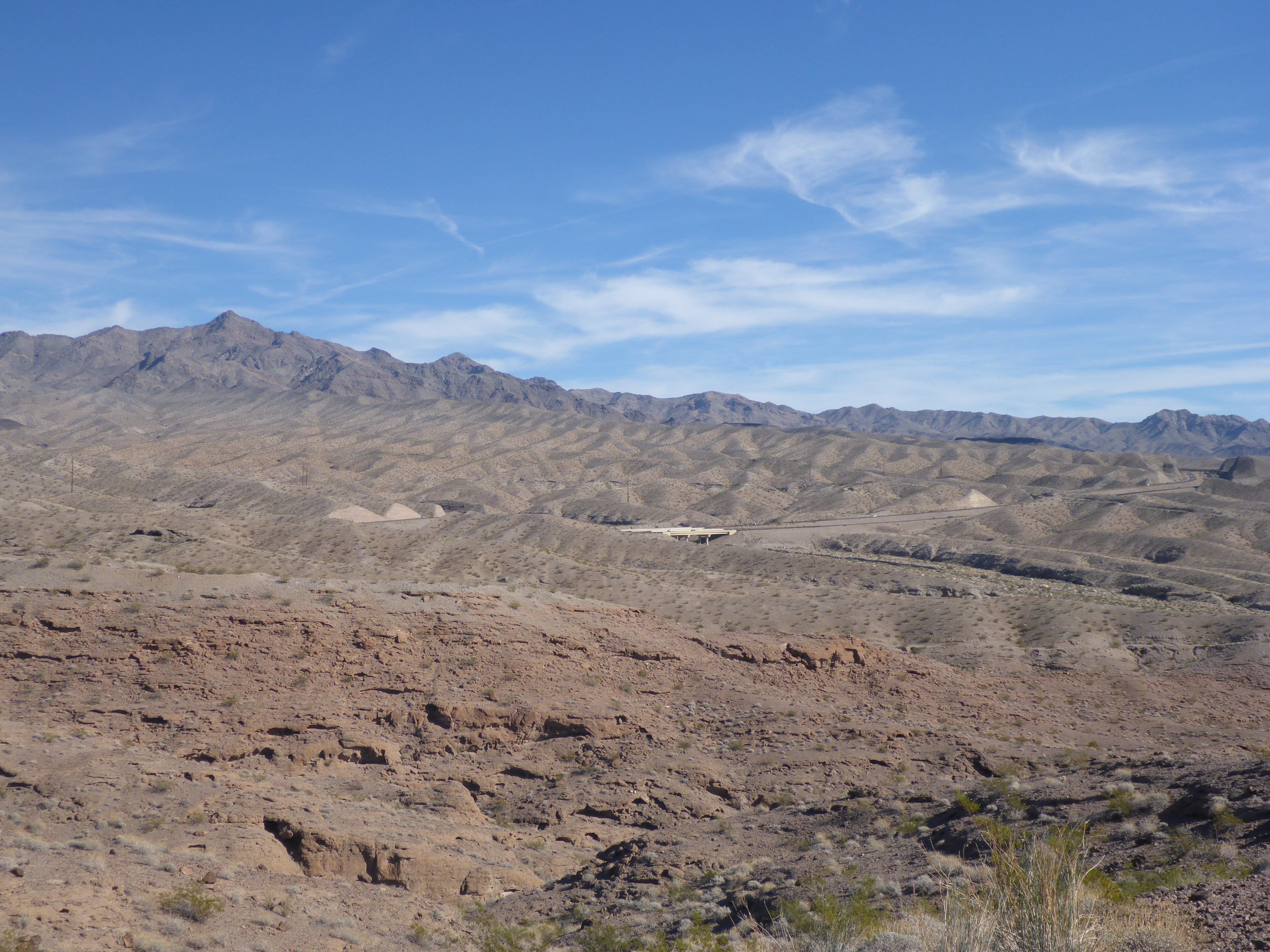
The trail for the Liberty Bell Arch starts just around the 4 mile marker off of Highway 93 in Arizona. There is a nice big parking lot, a slightly misleading trail map, and a bridge to cross under to start your hike. What they don’t tell you is that there are several different trails out there, and if you are not careful, you can end up on the wrong one even if you follow the signs. I ended up on the wrong trail that led me for a long, but beautiful, loop through the desert. All the while getting further and further from the bridge with pretty looks back towards my jumping off point.