Thomas Point Trail

IMG_4449

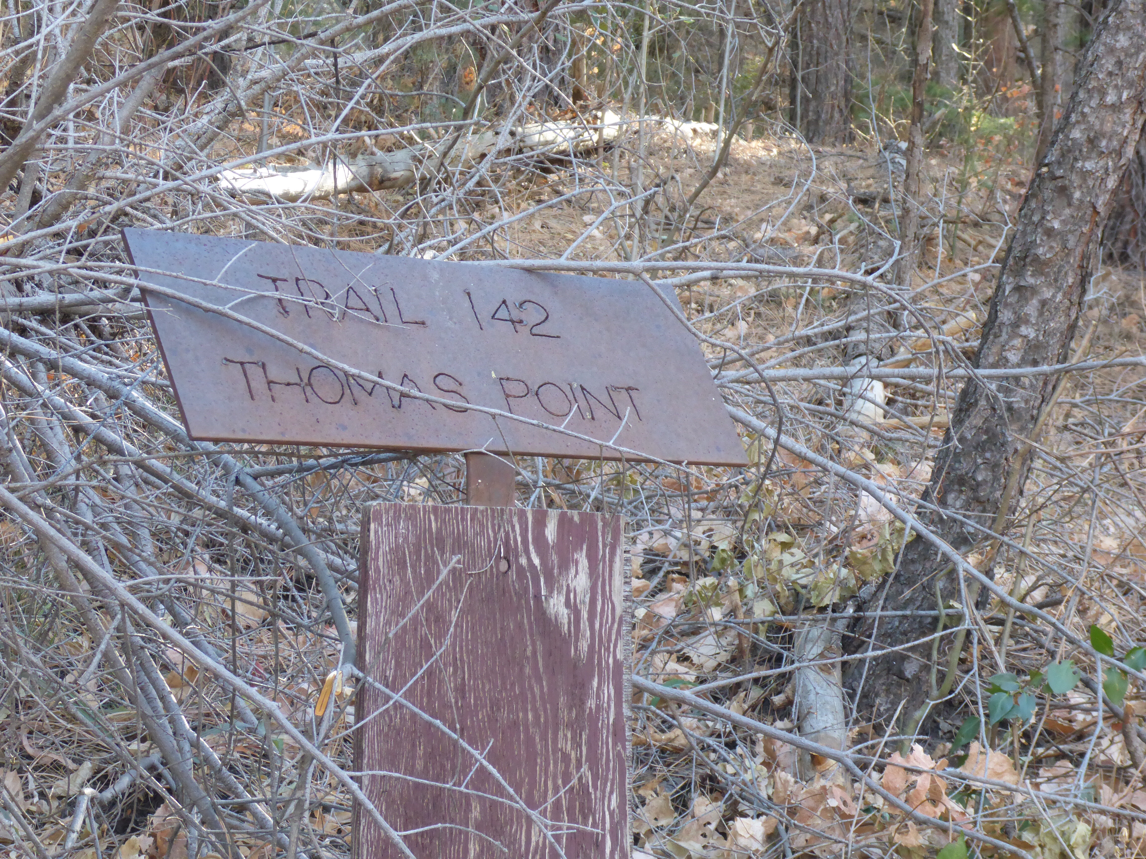
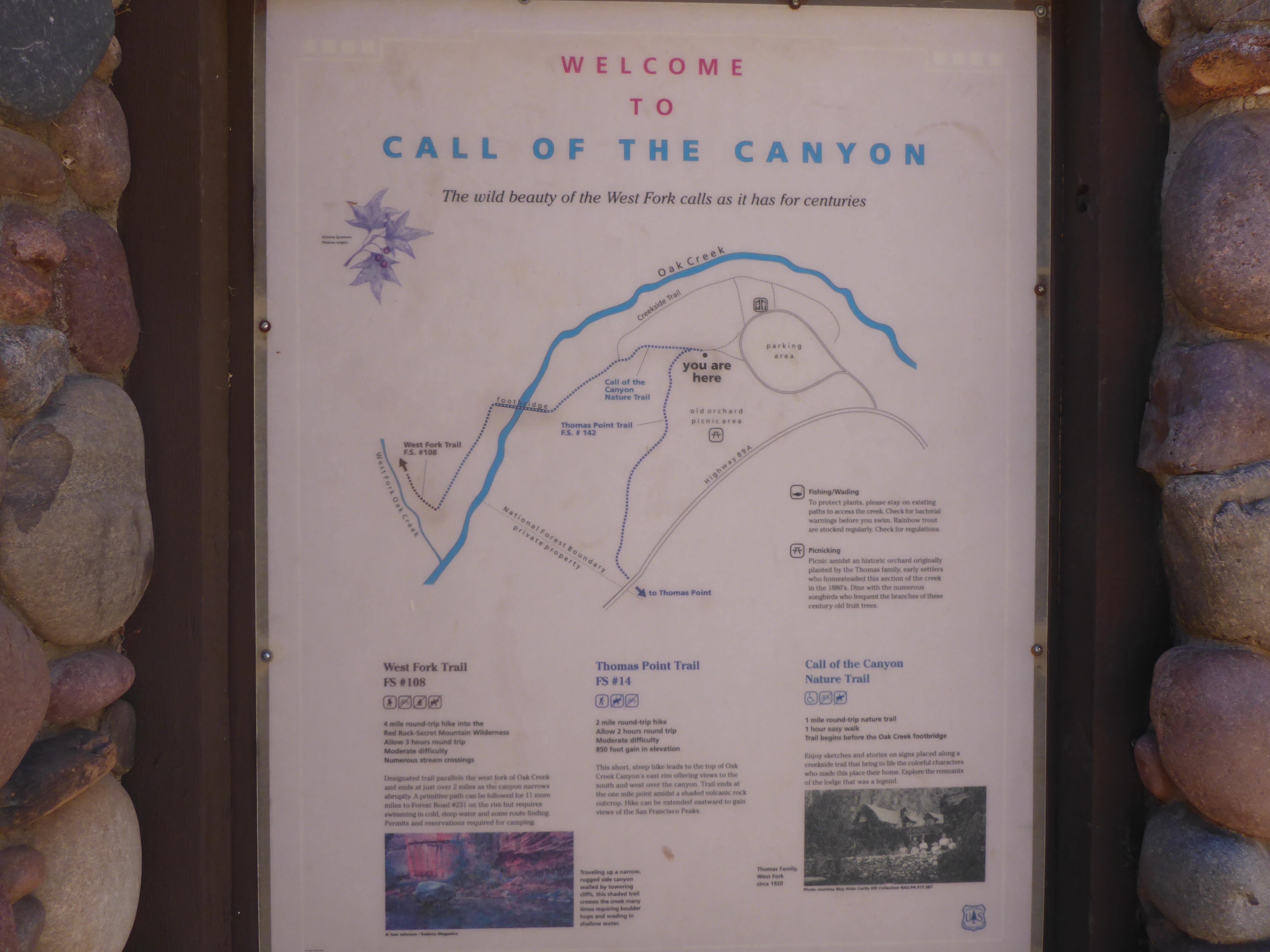
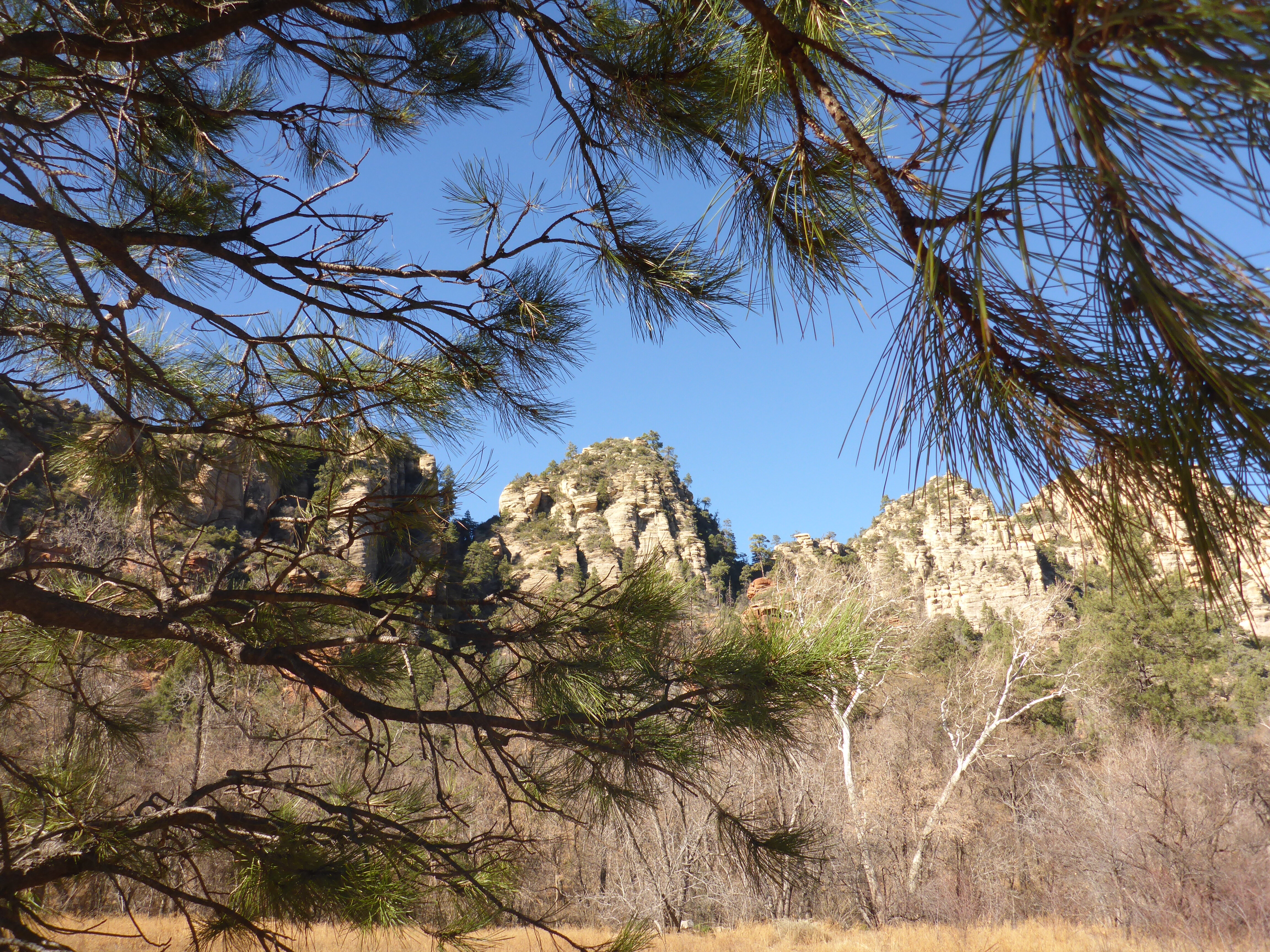
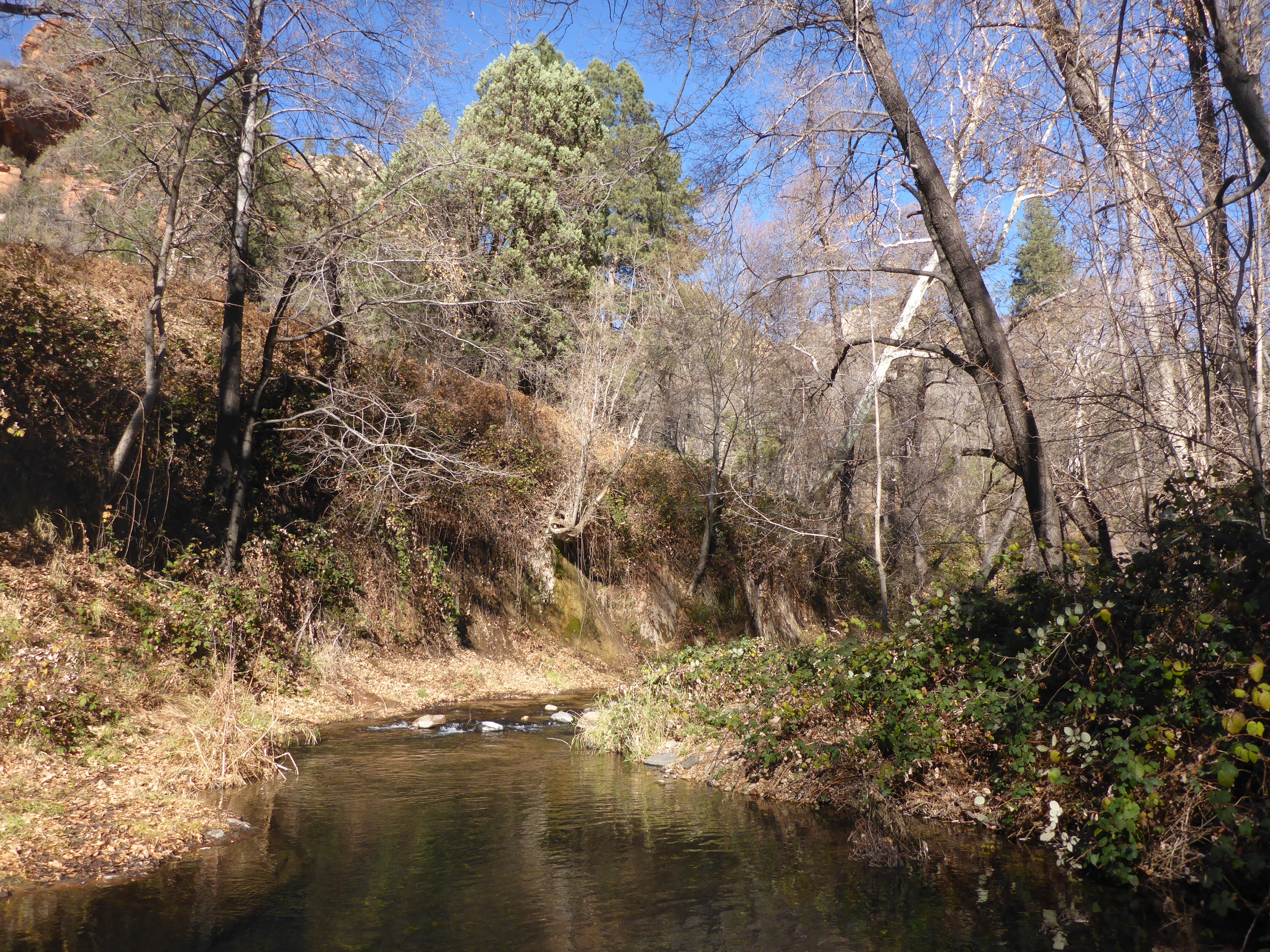
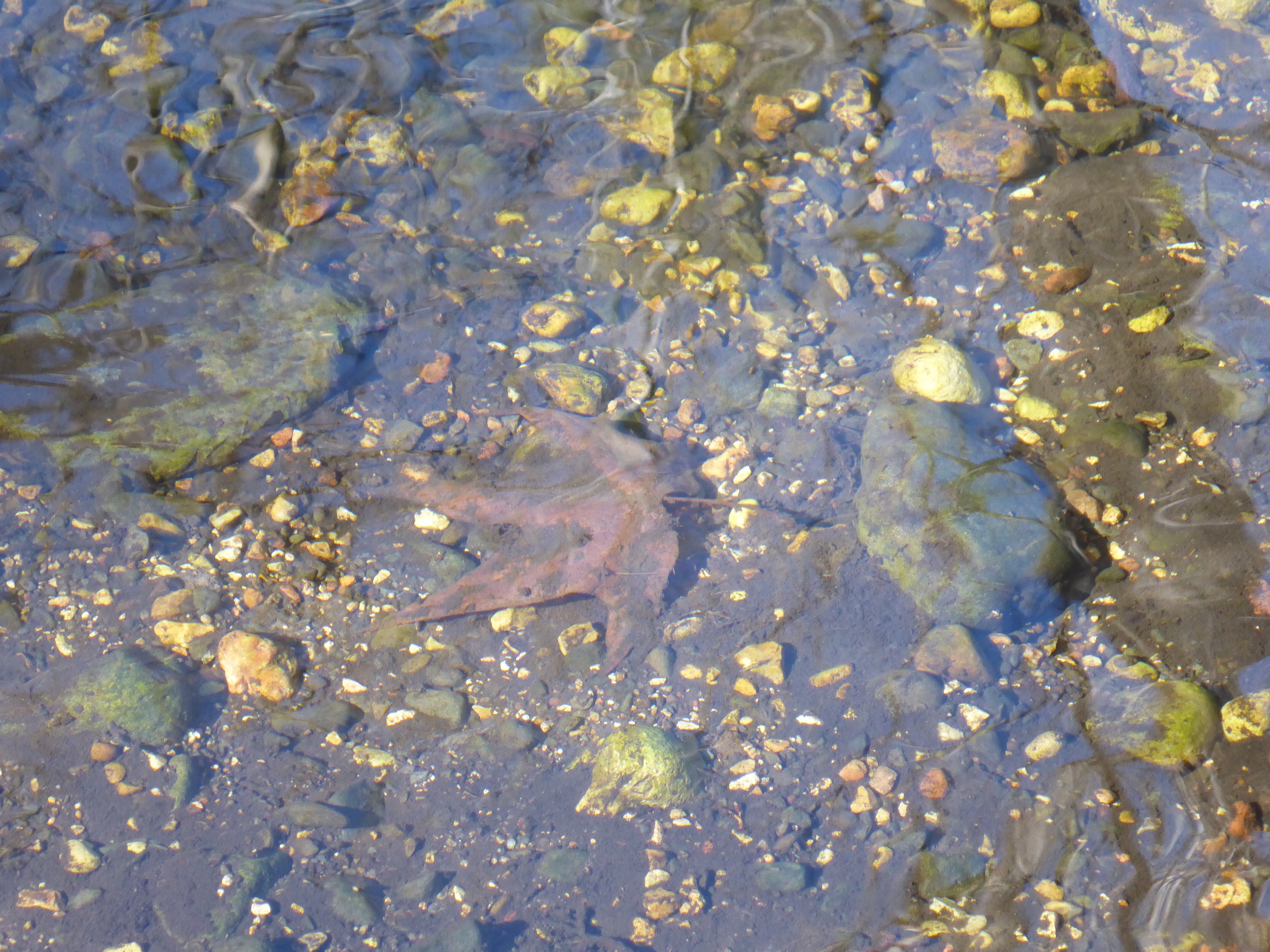
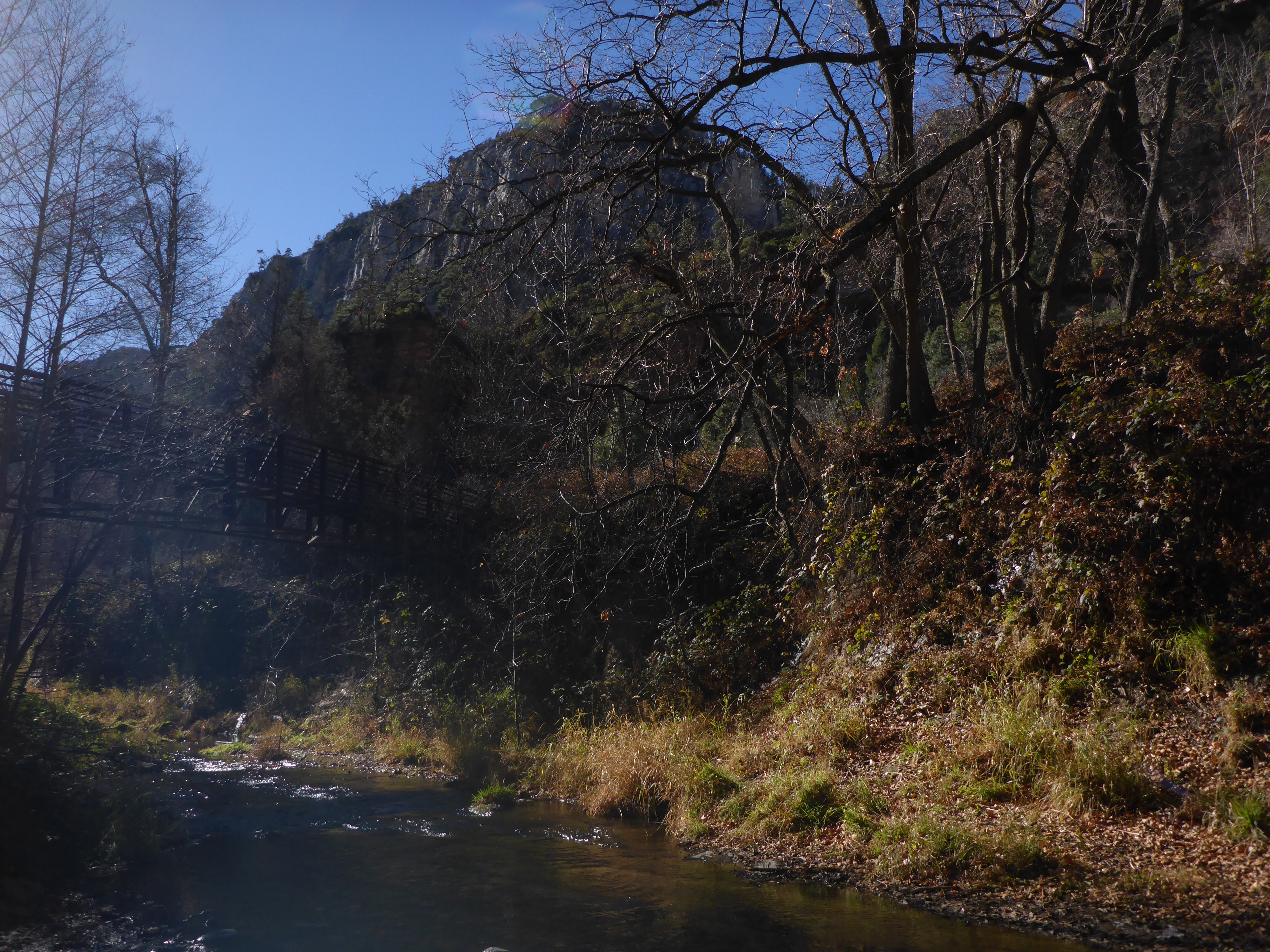
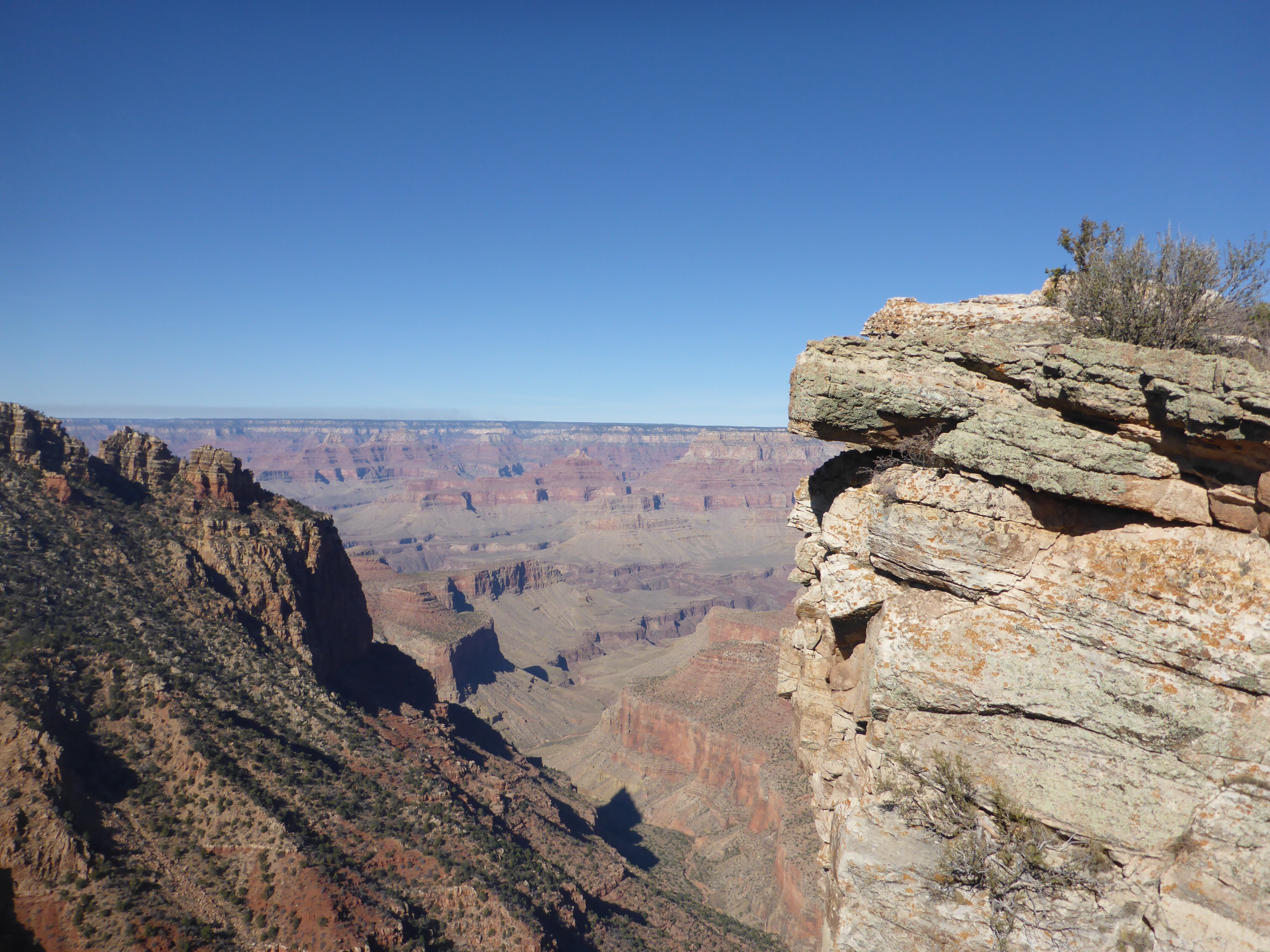
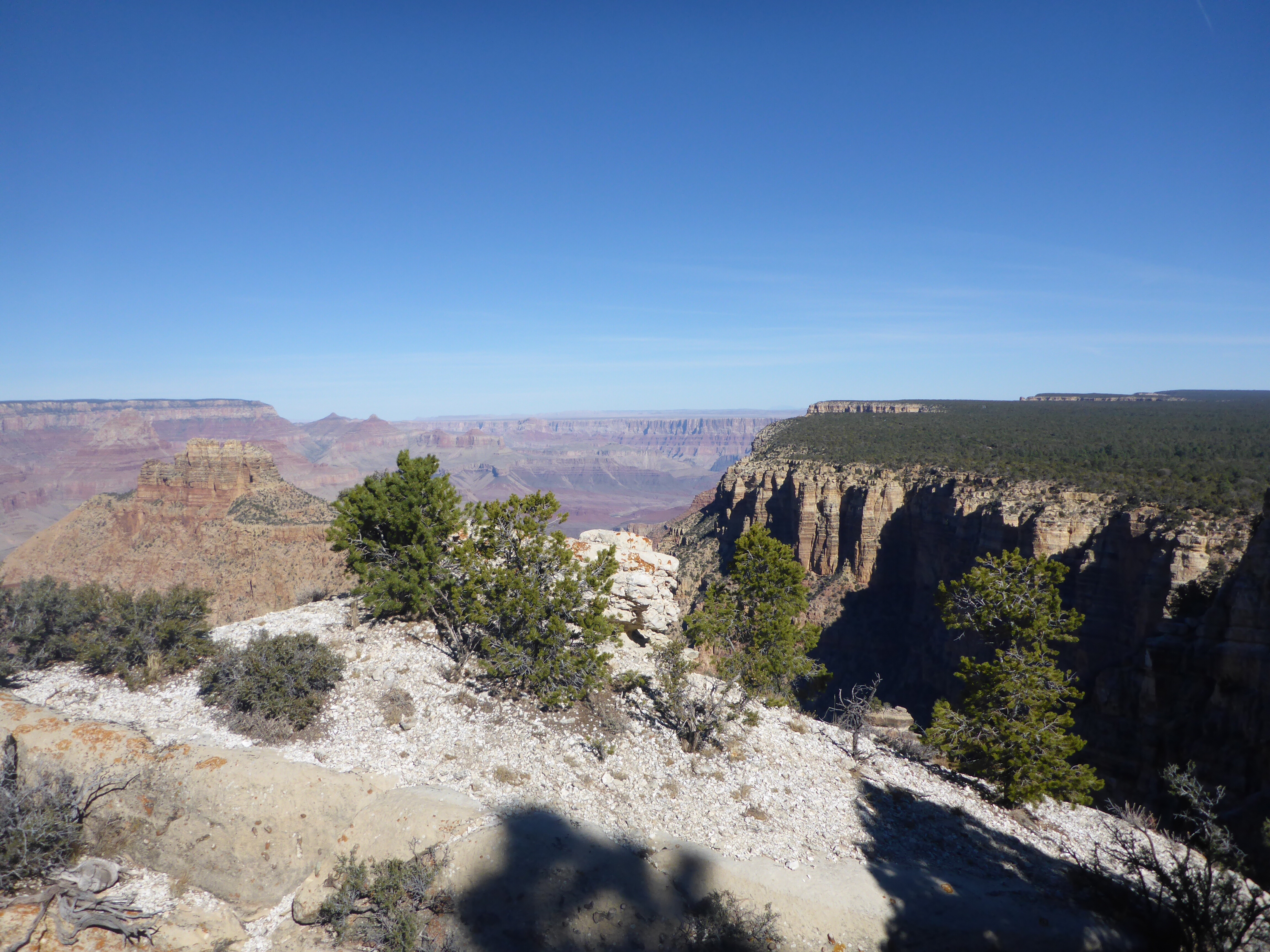
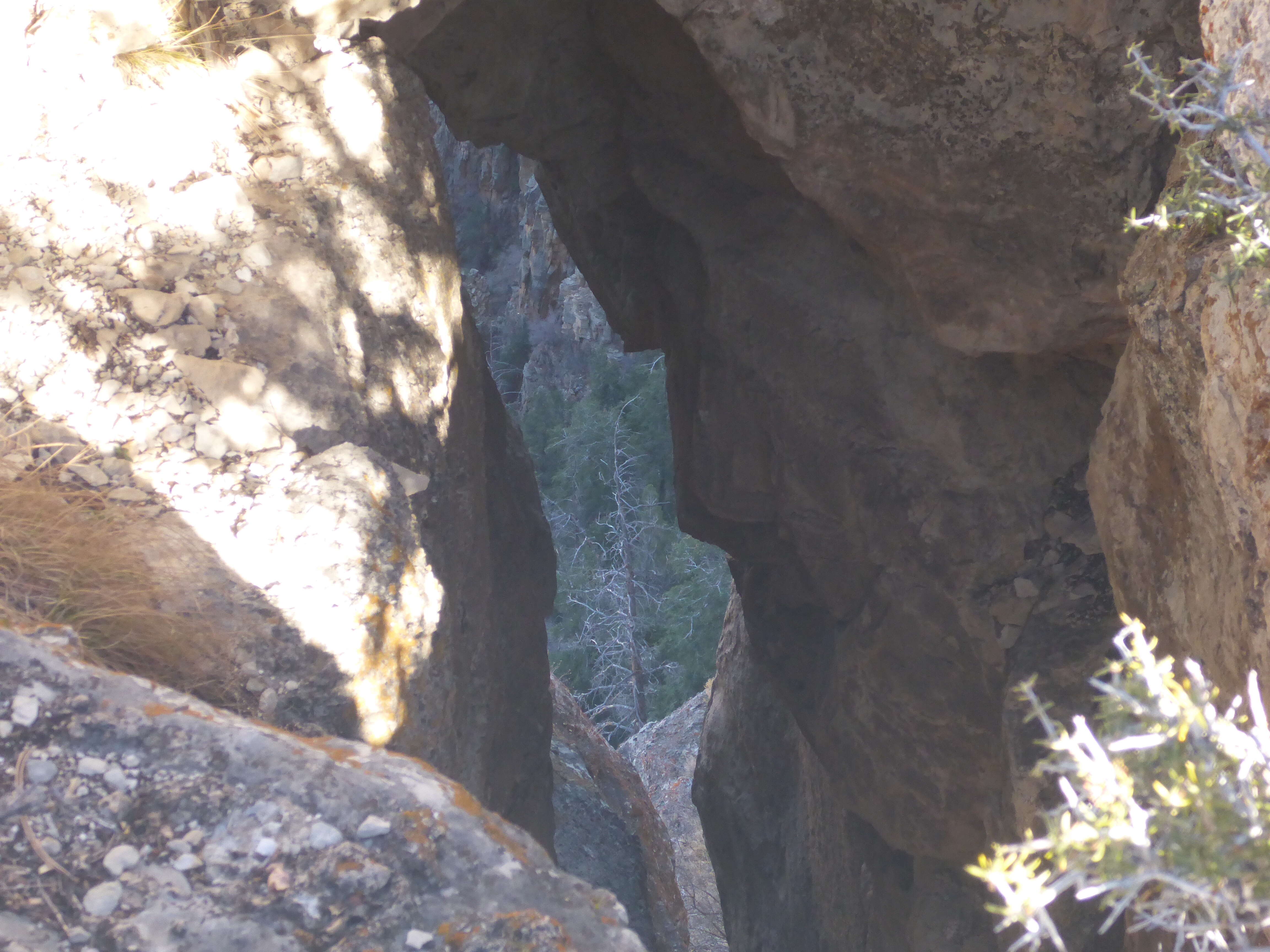
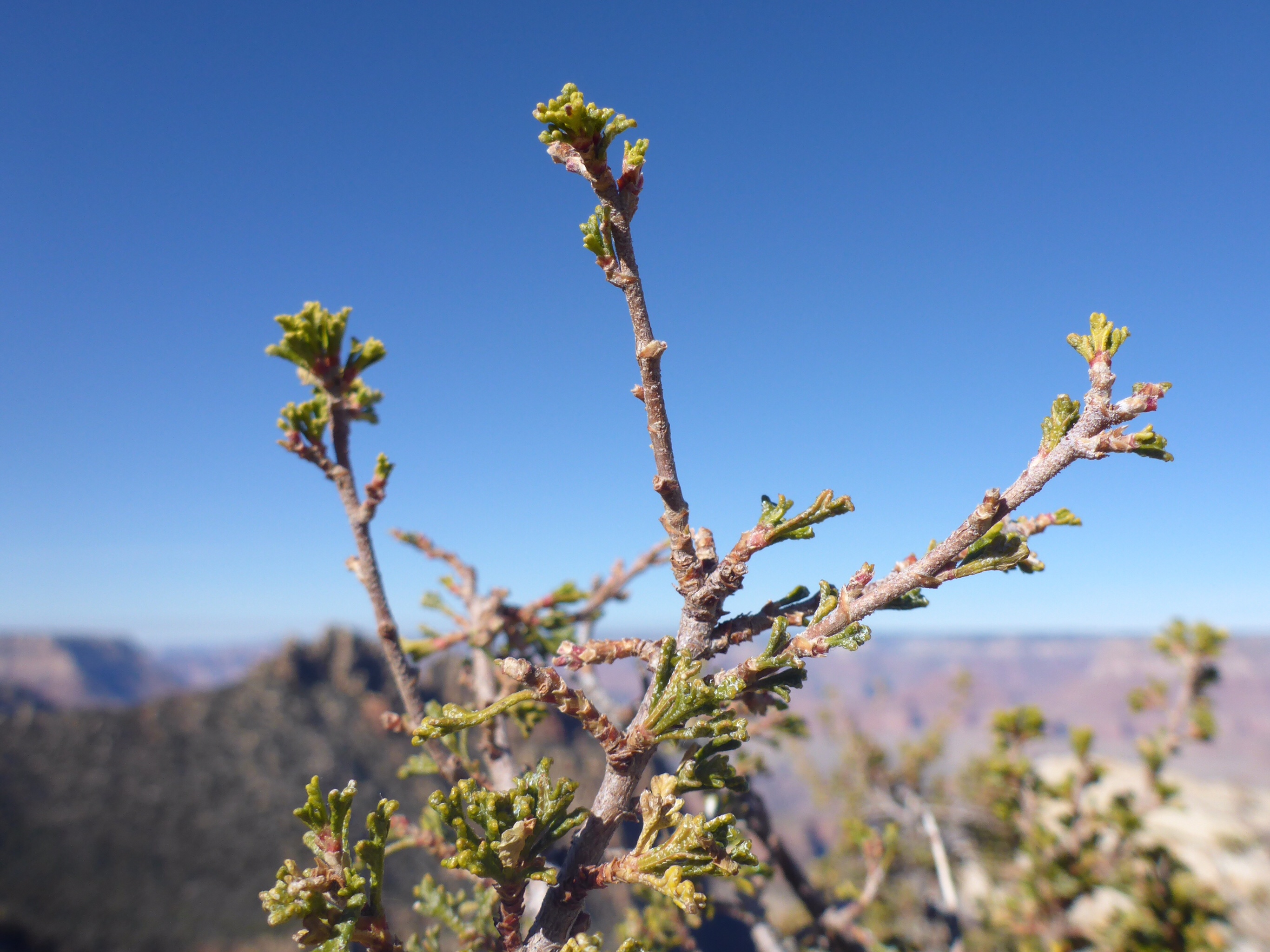
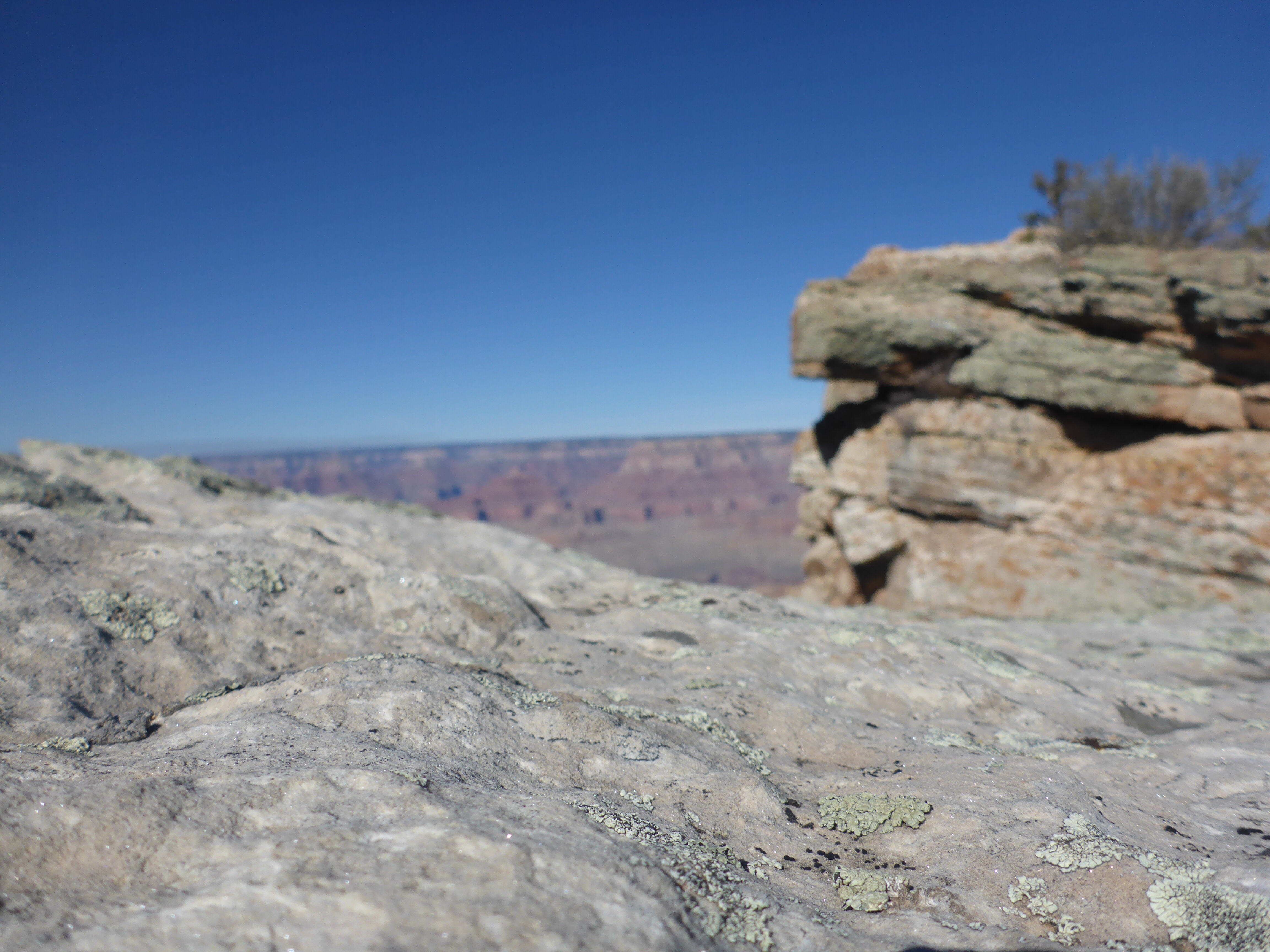
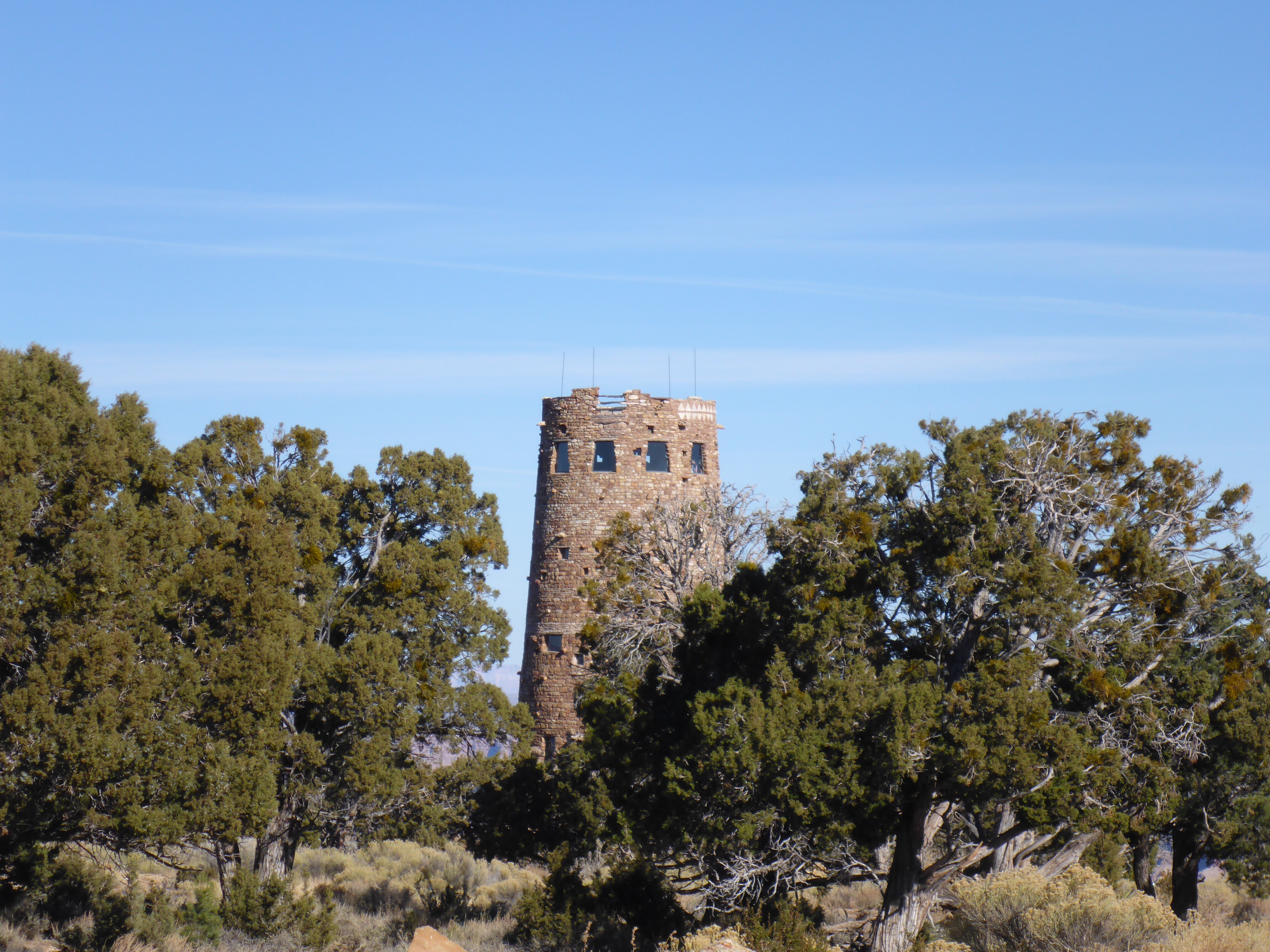
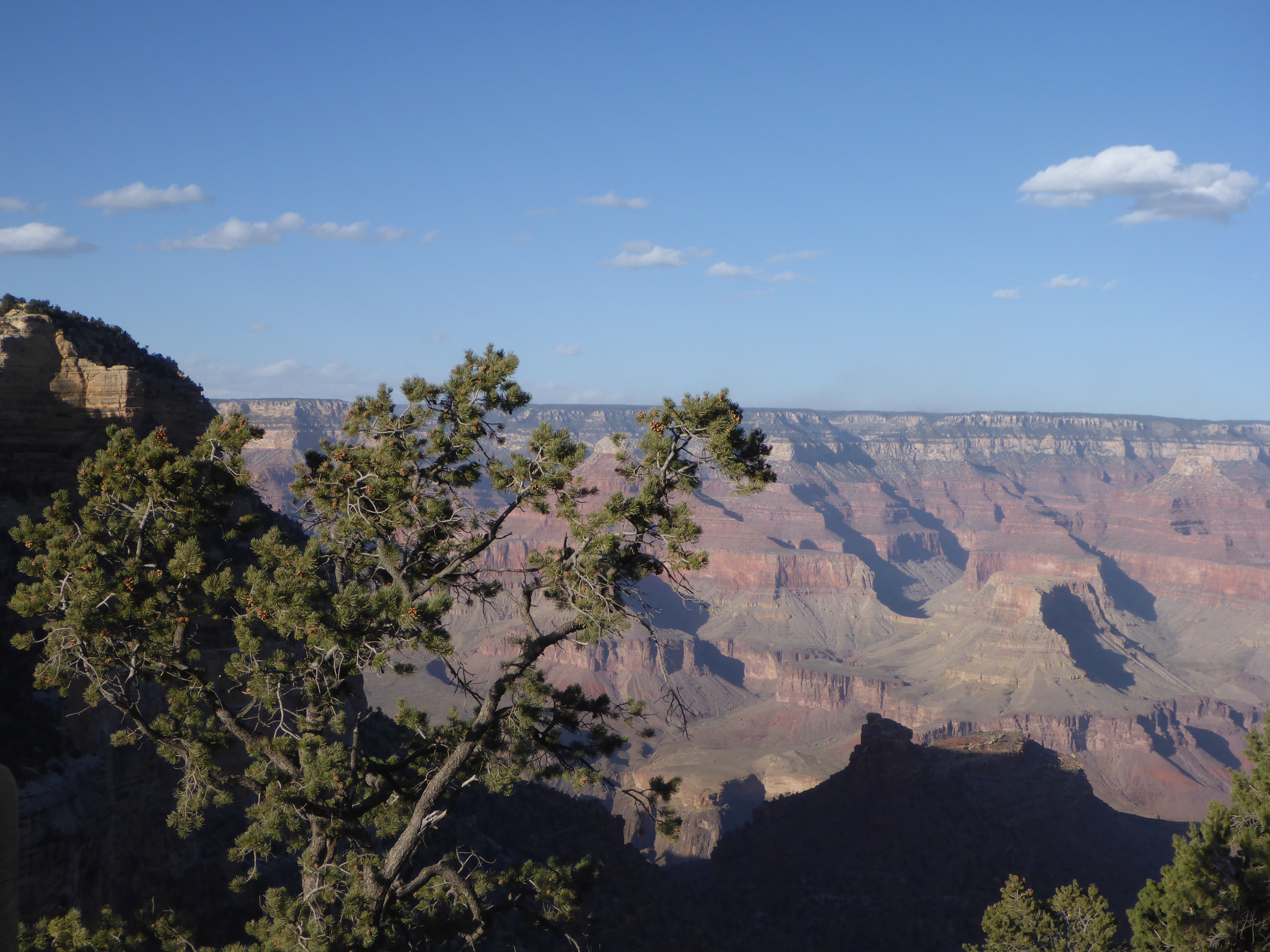
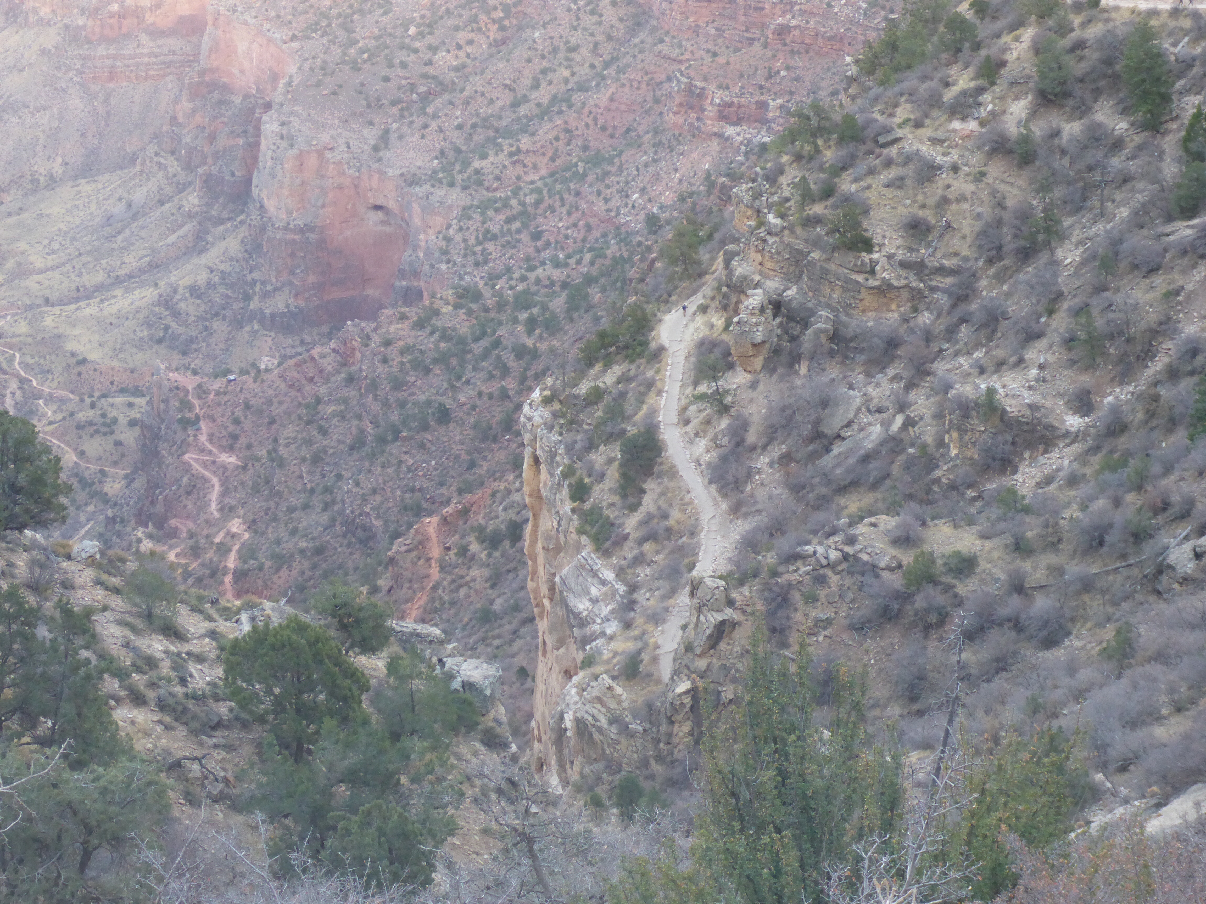
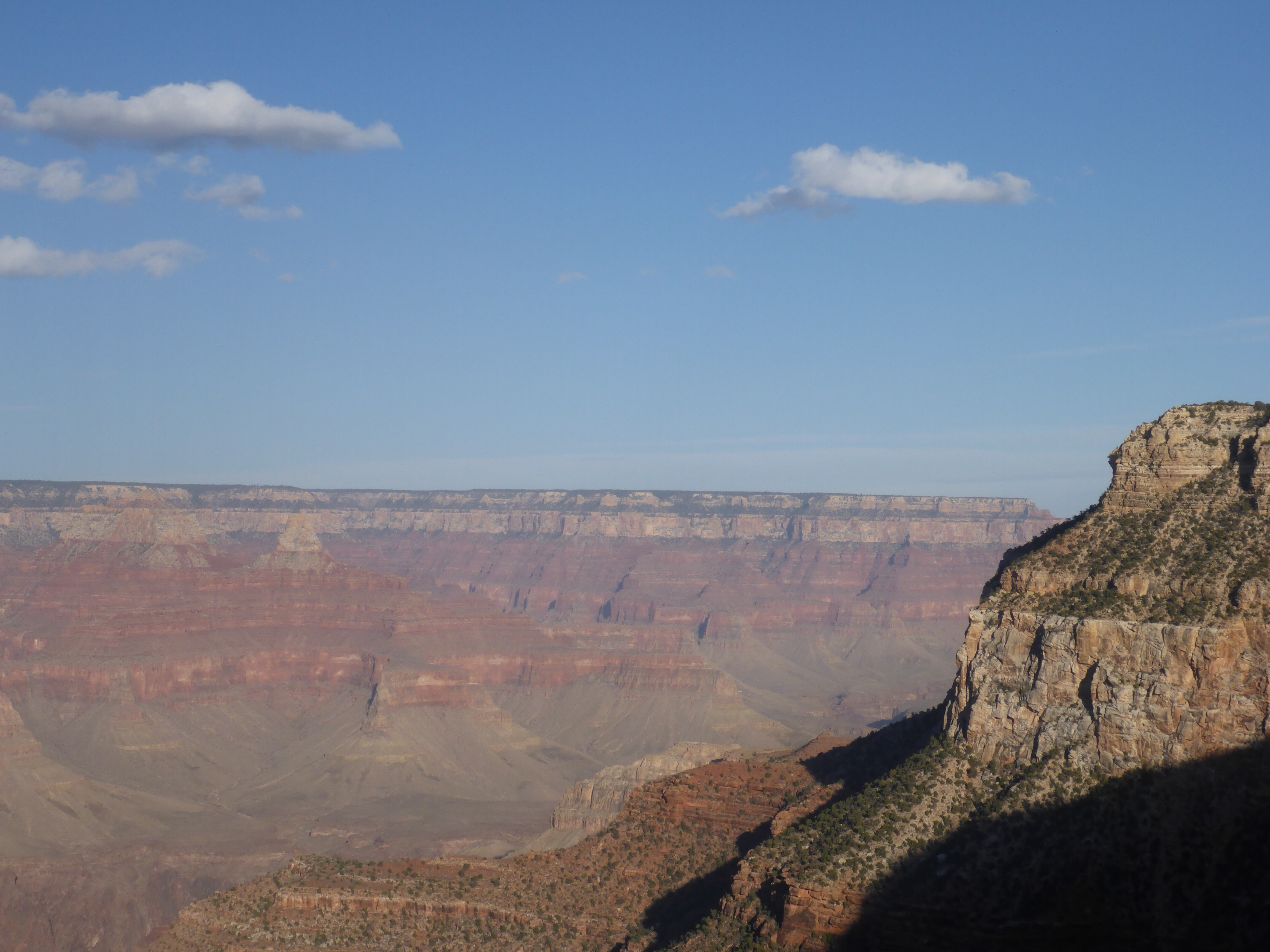
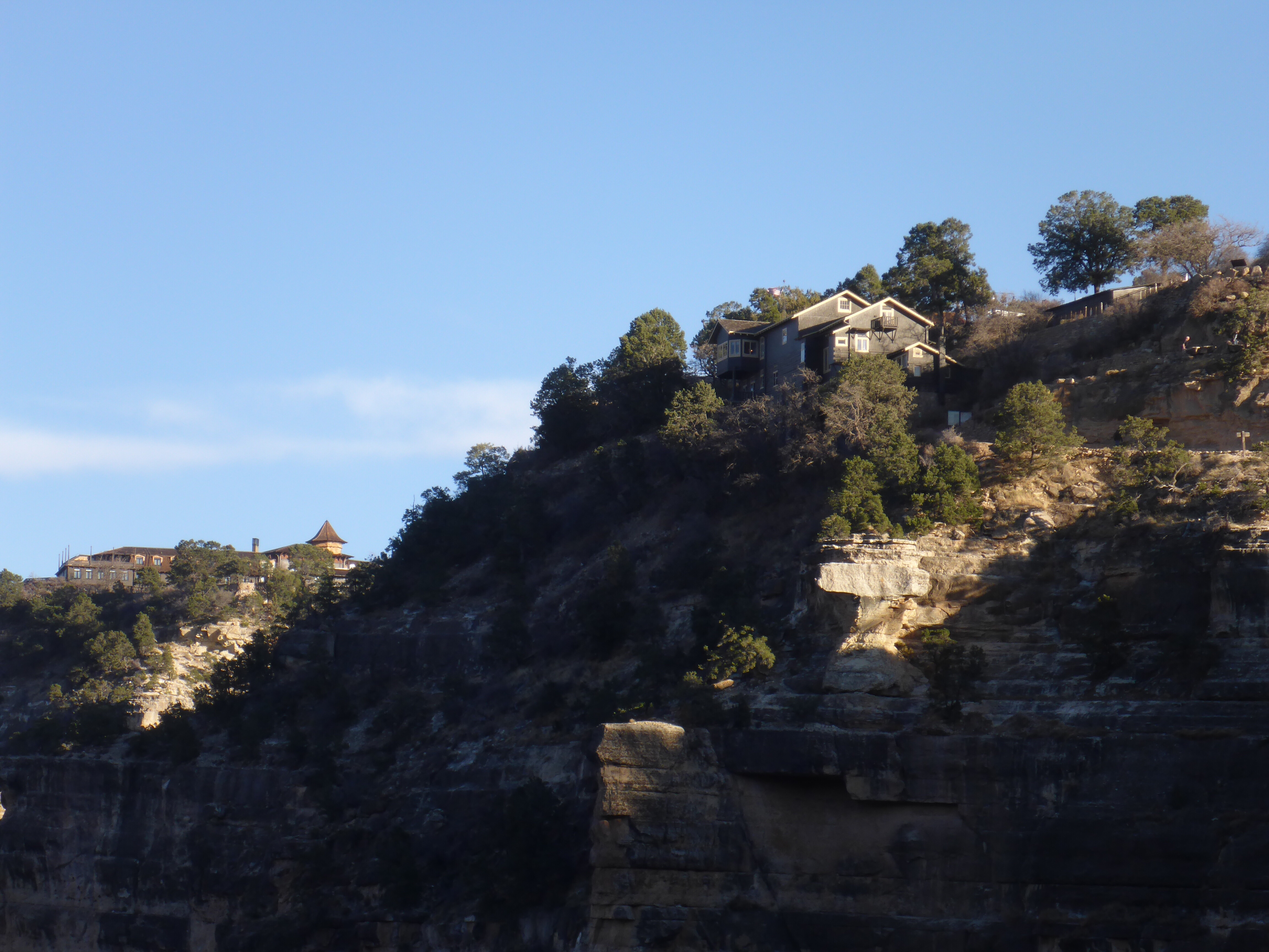
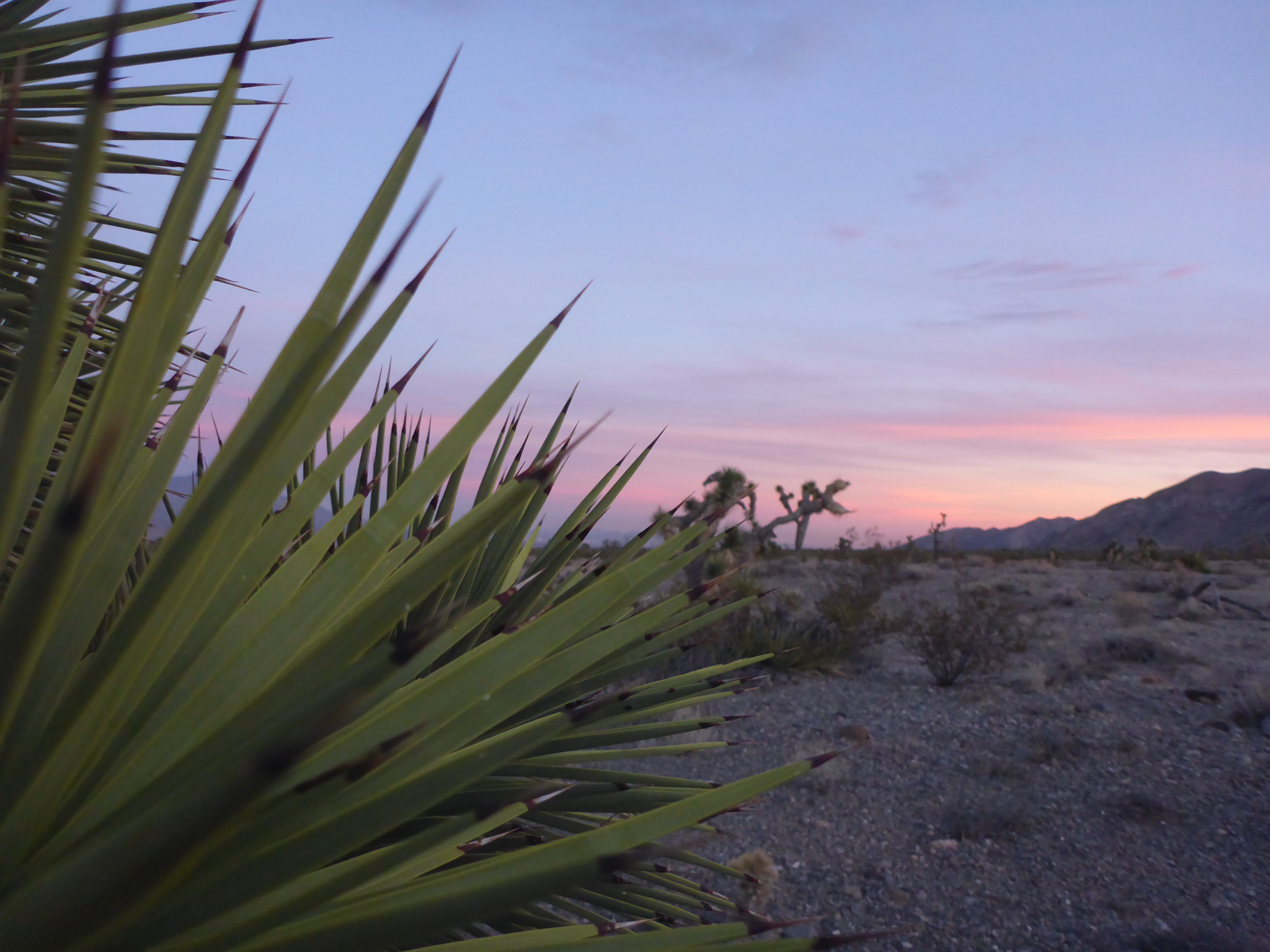
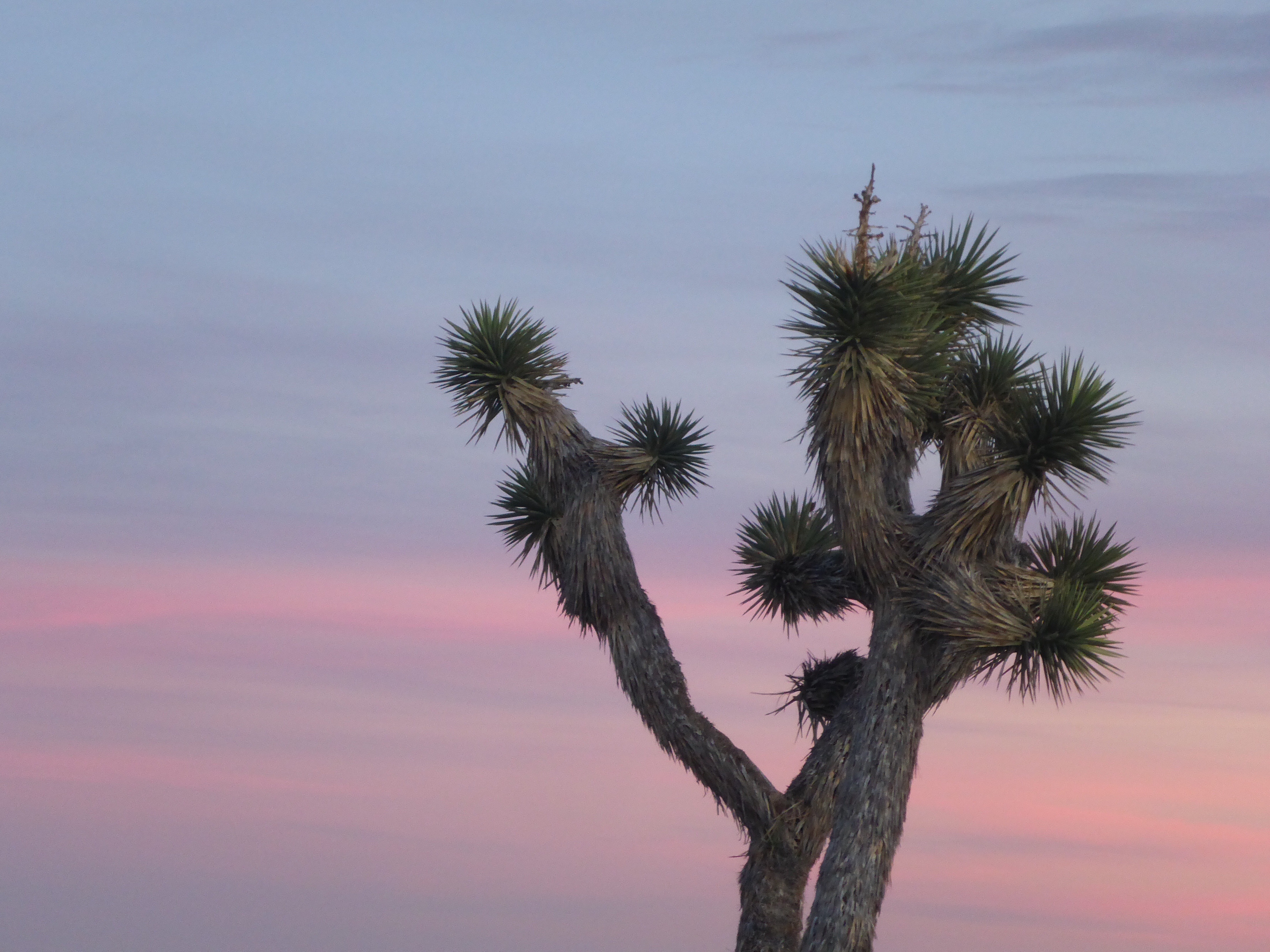
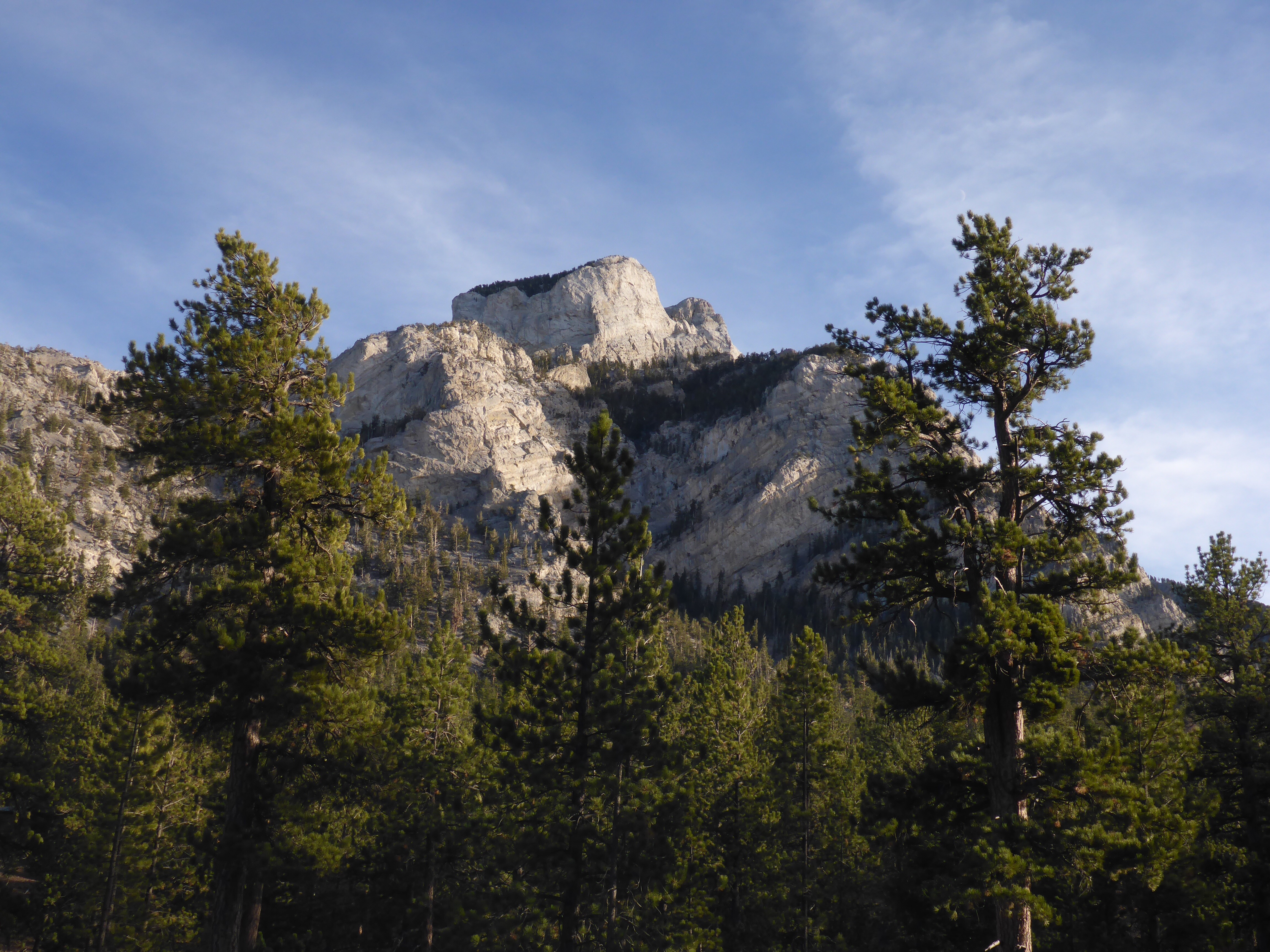
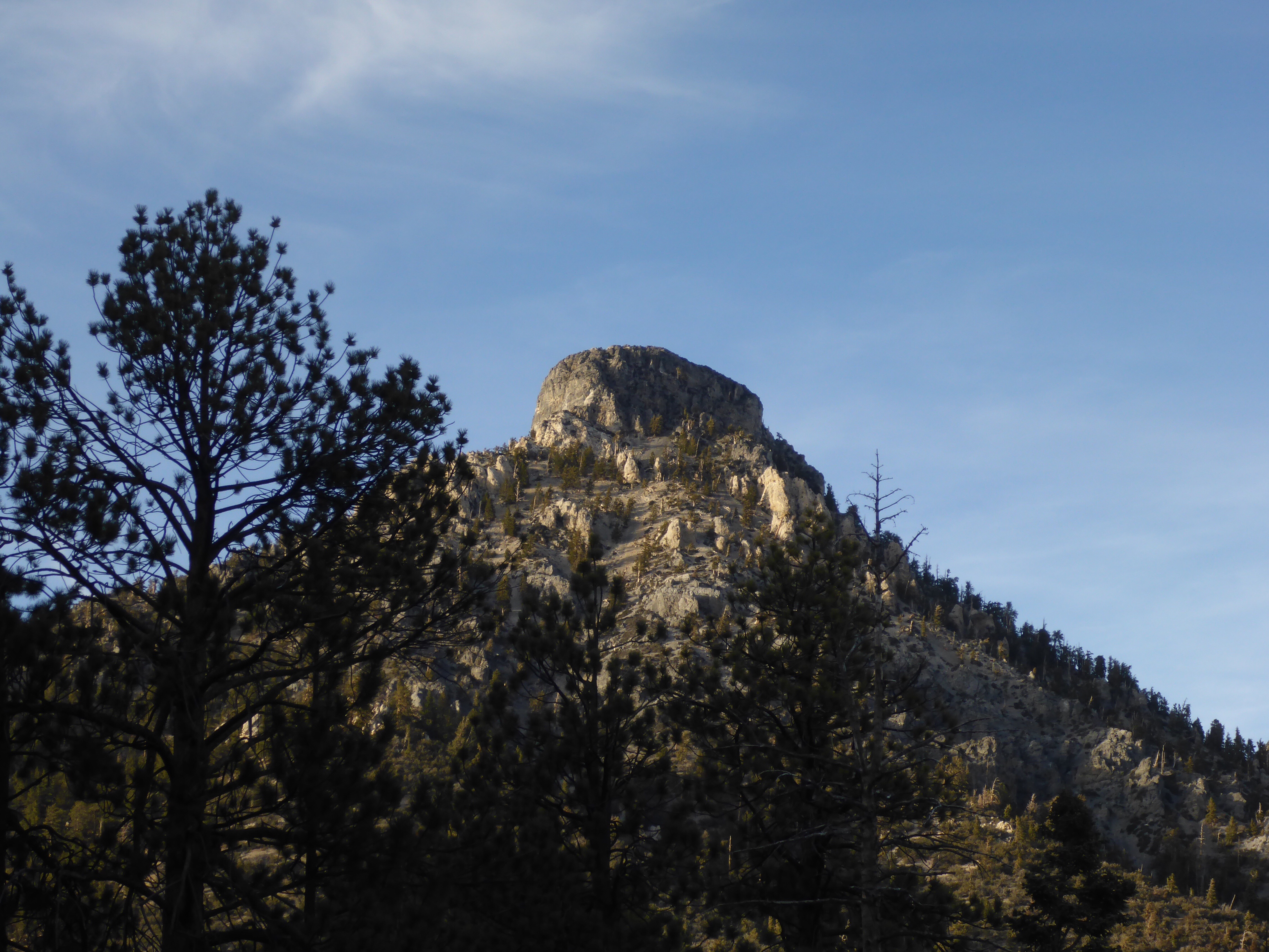
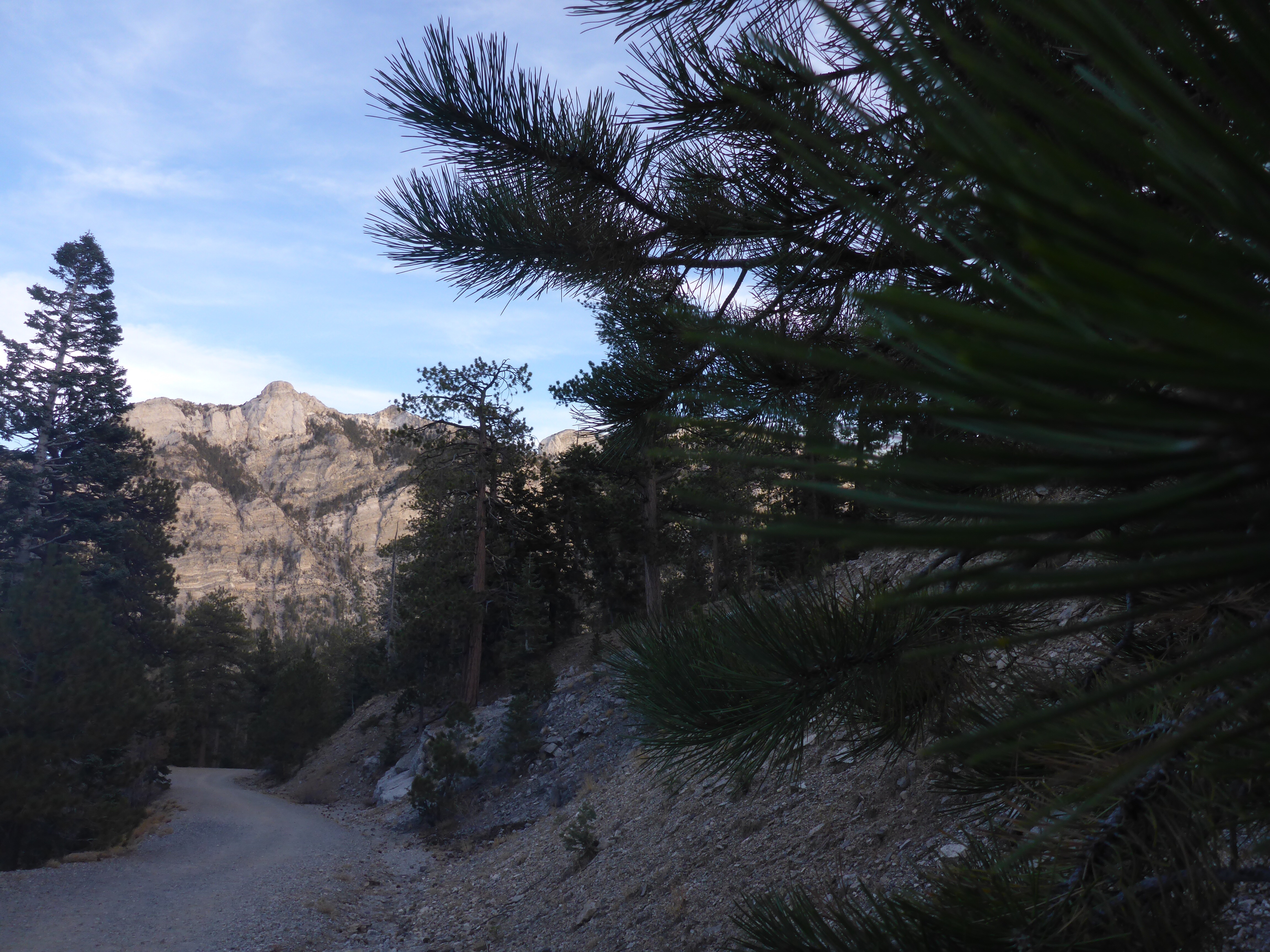
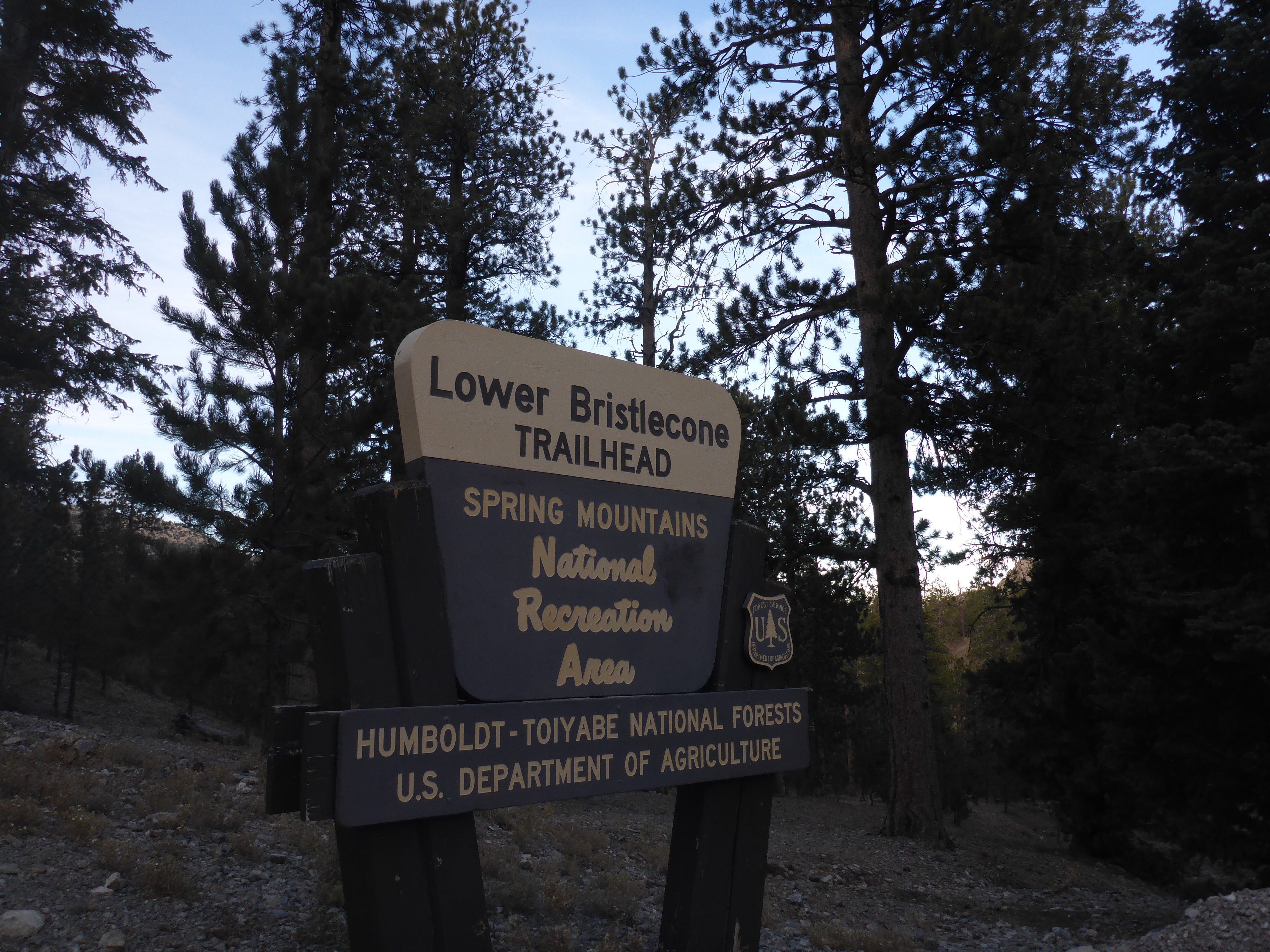
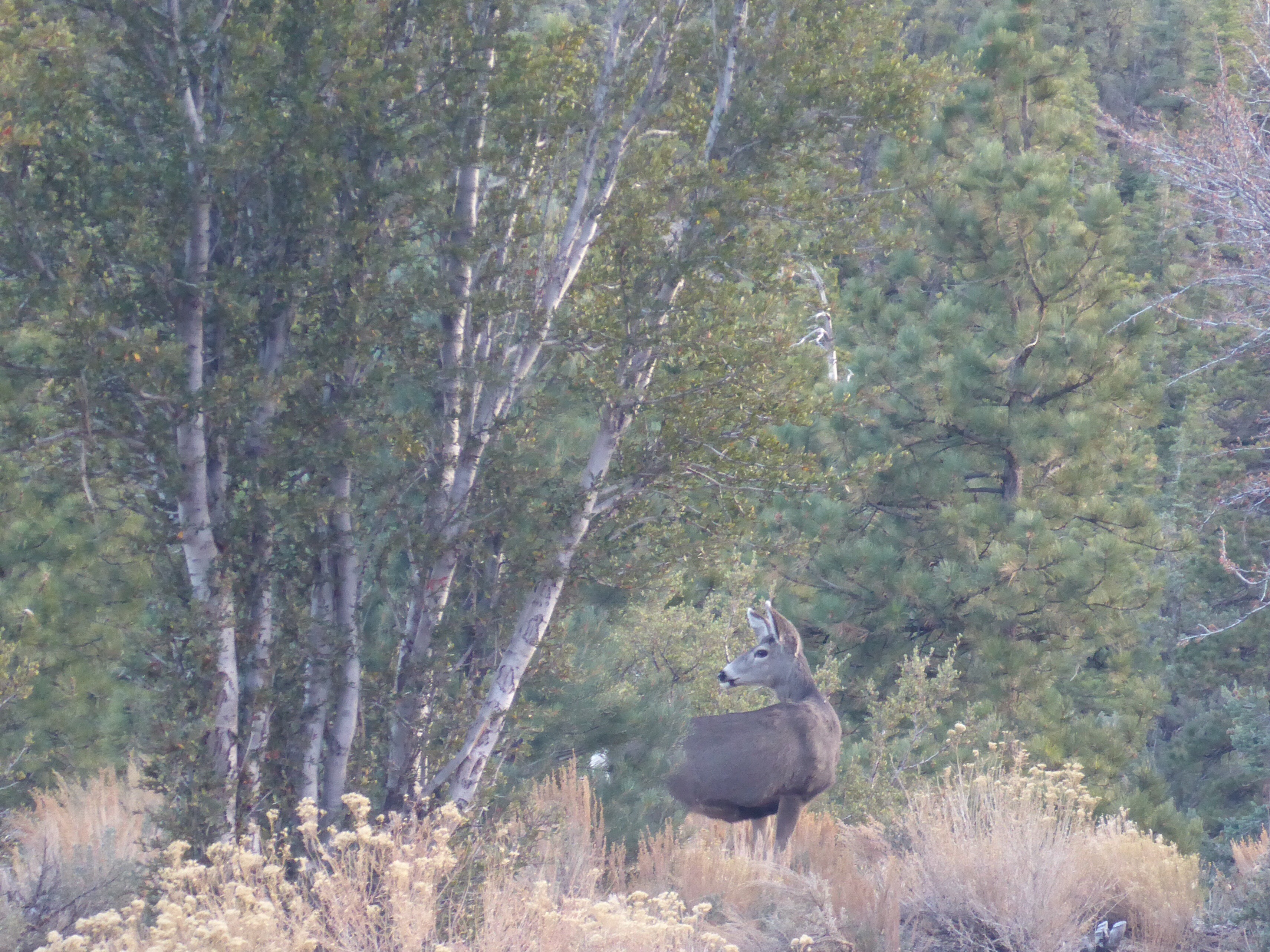
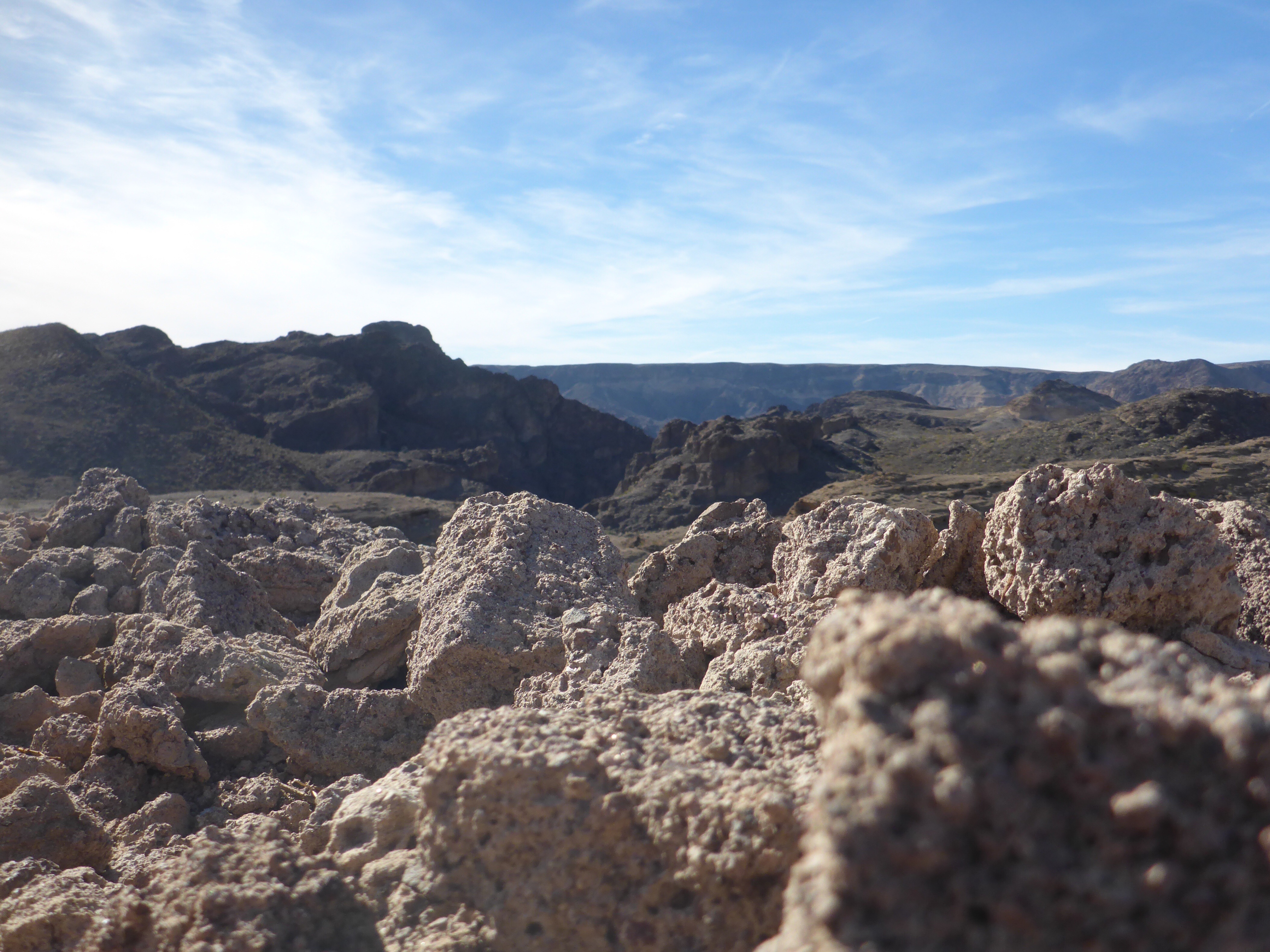
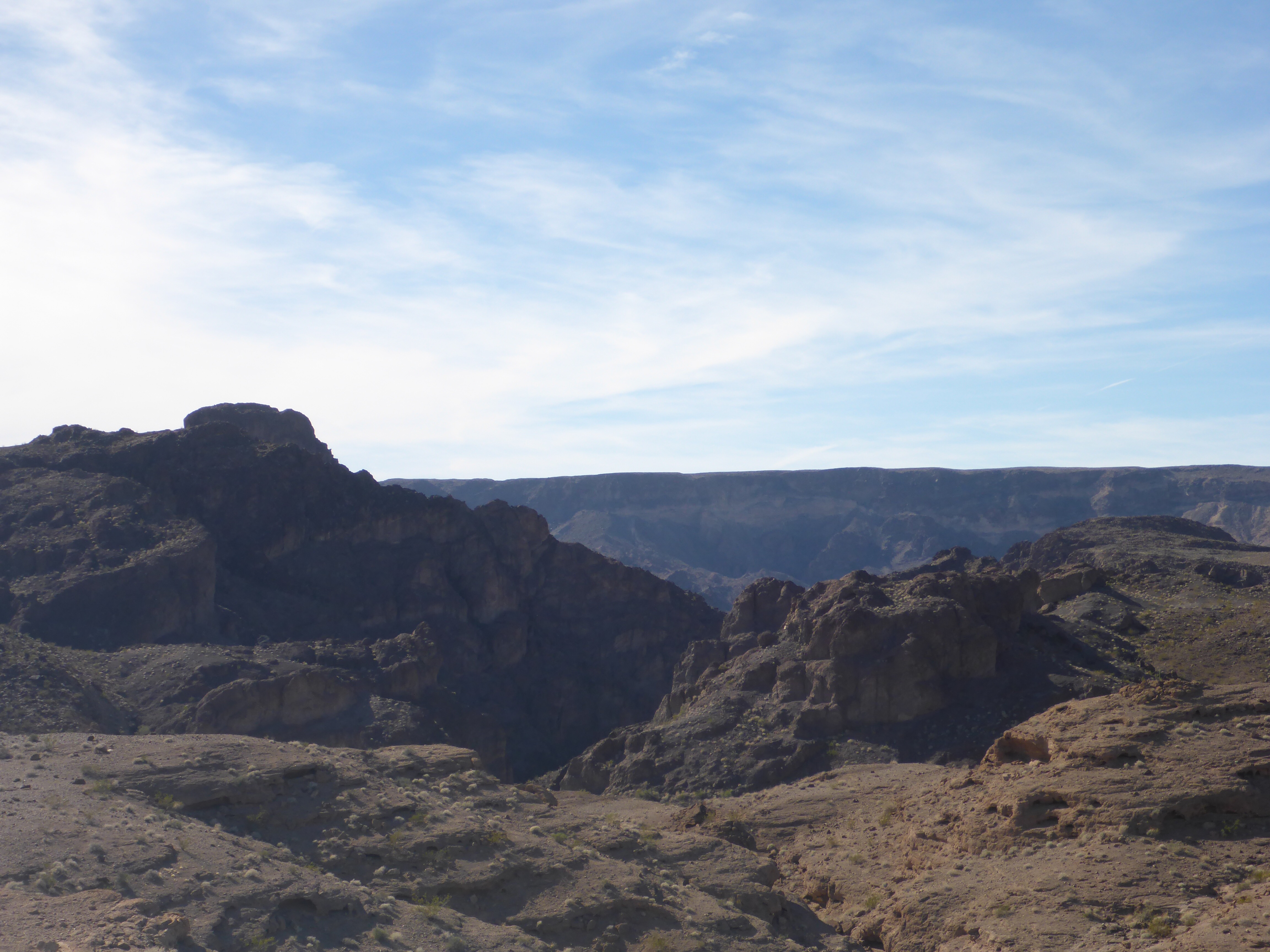
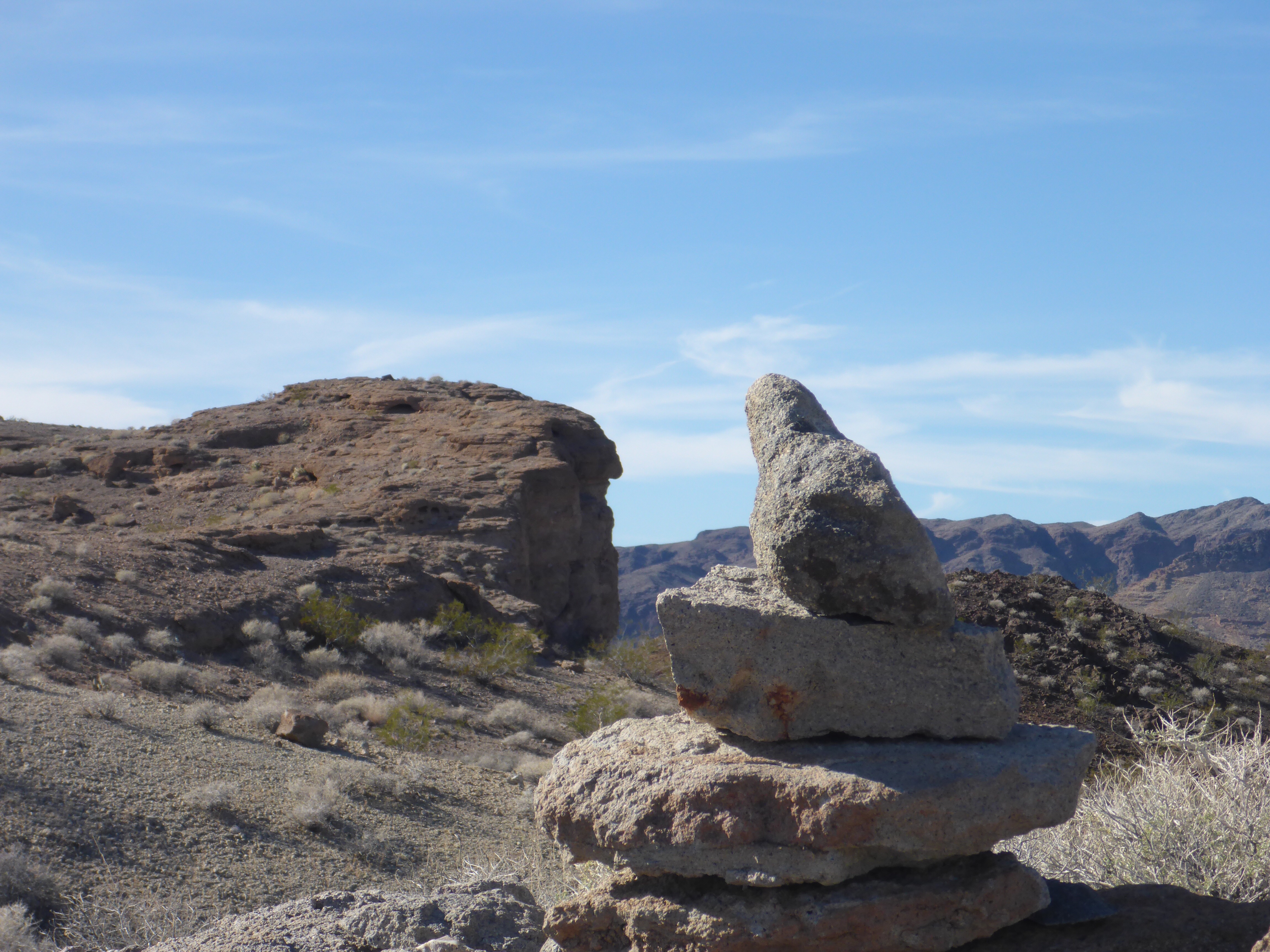
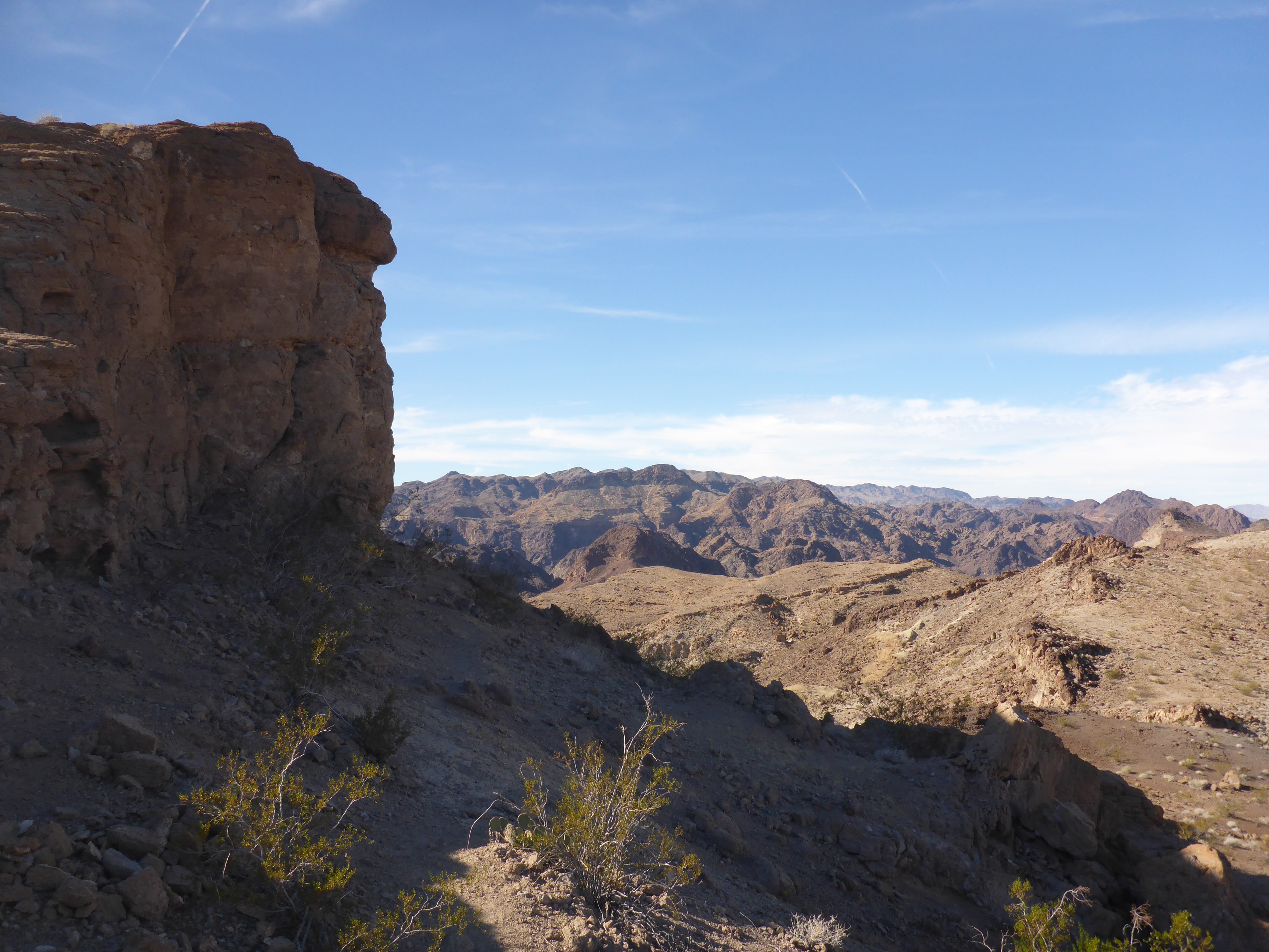
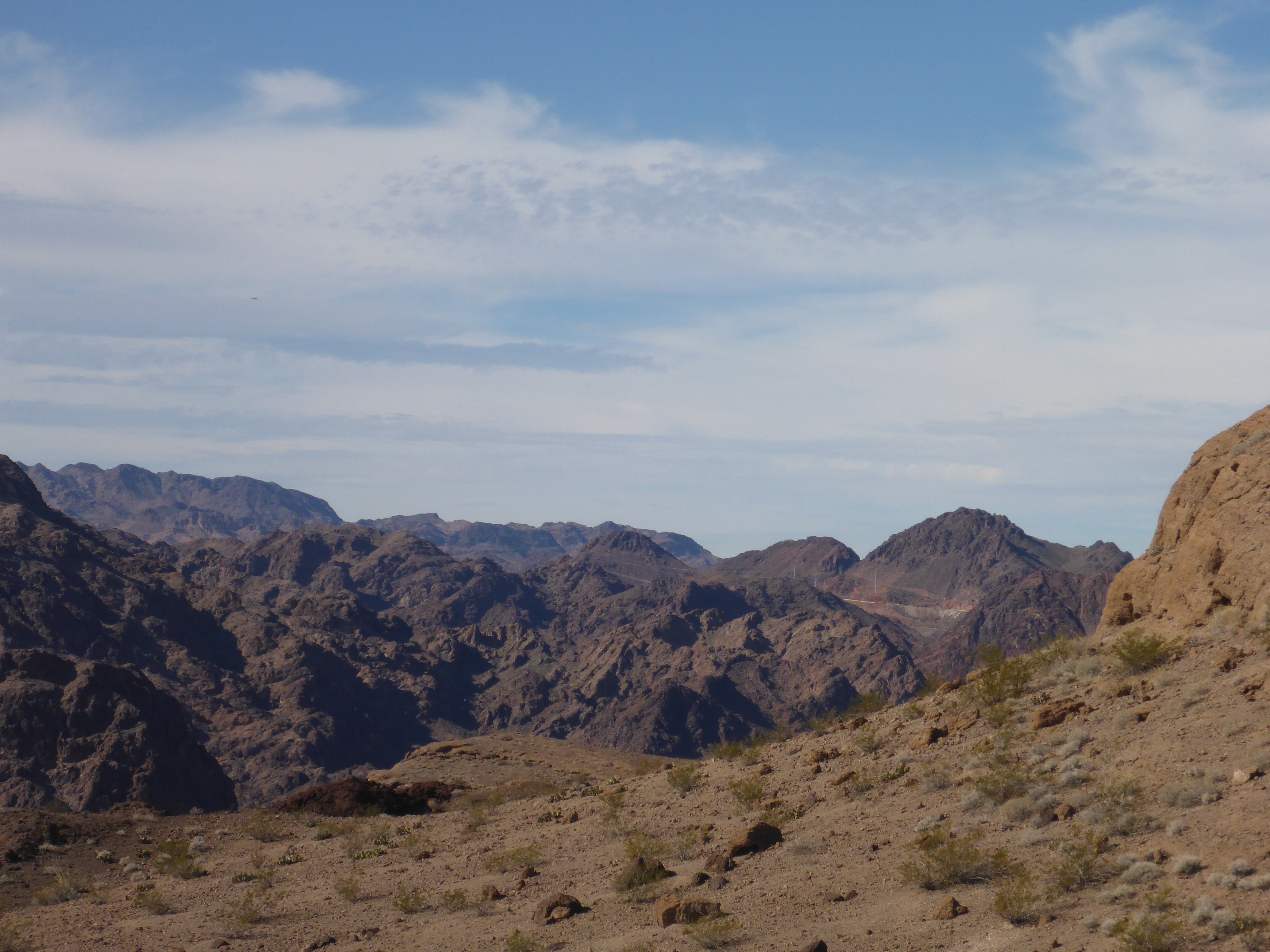
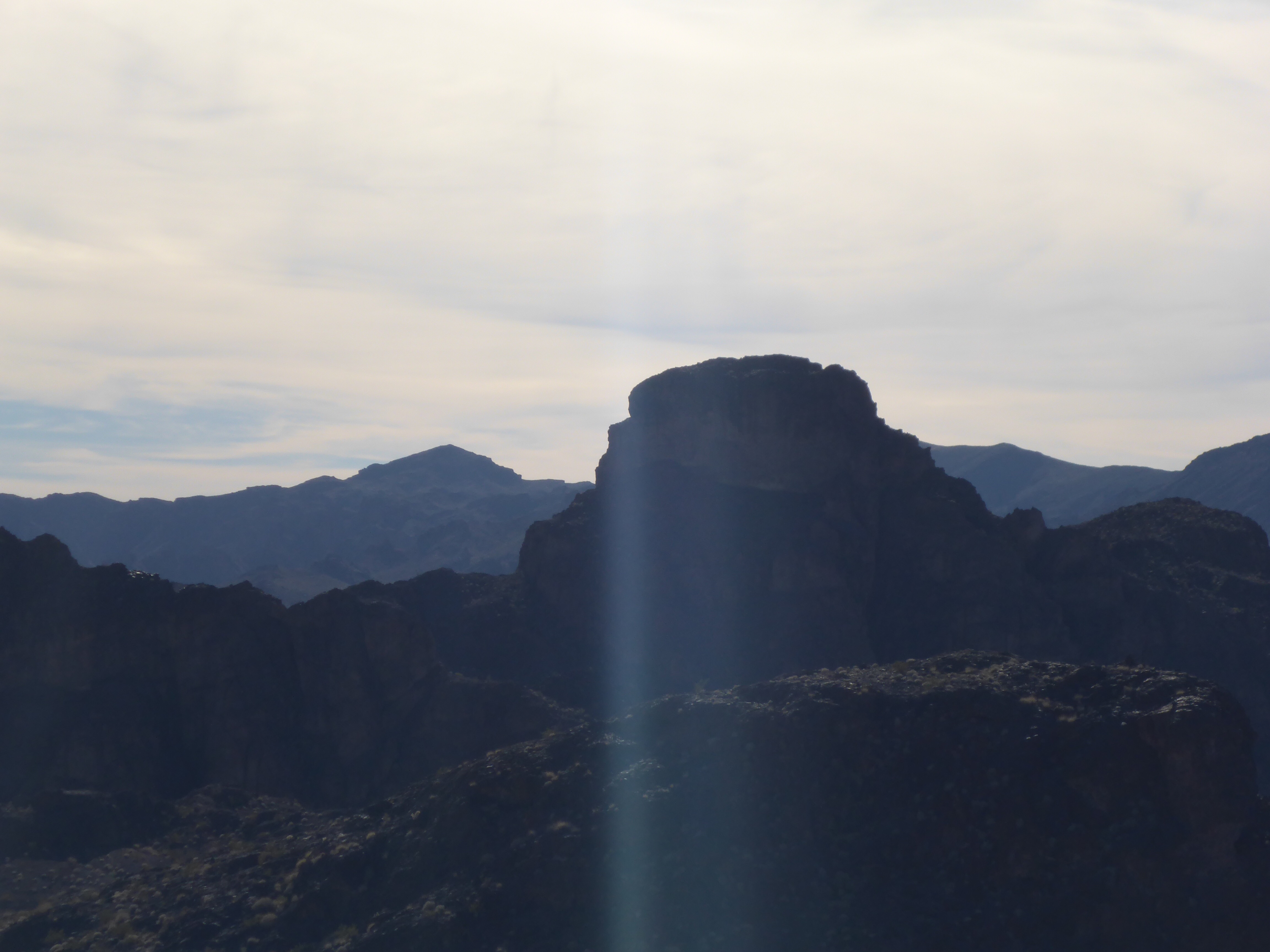
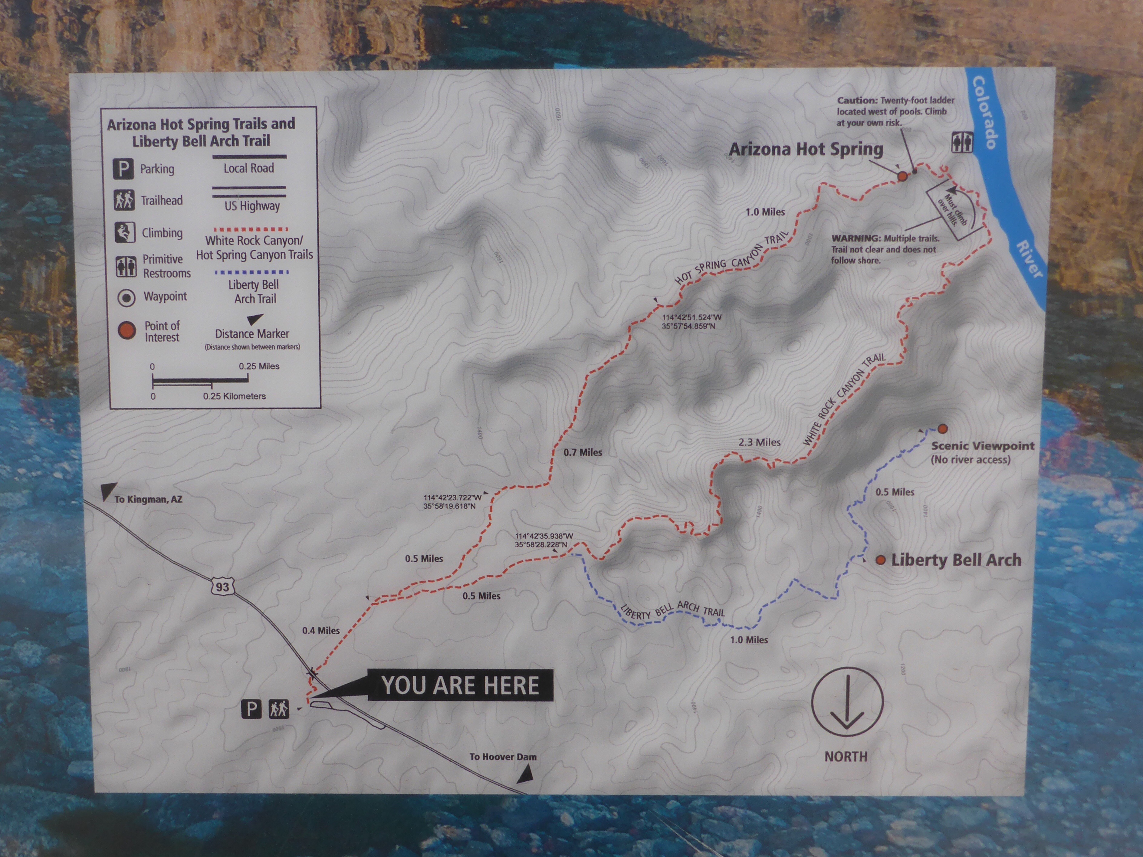
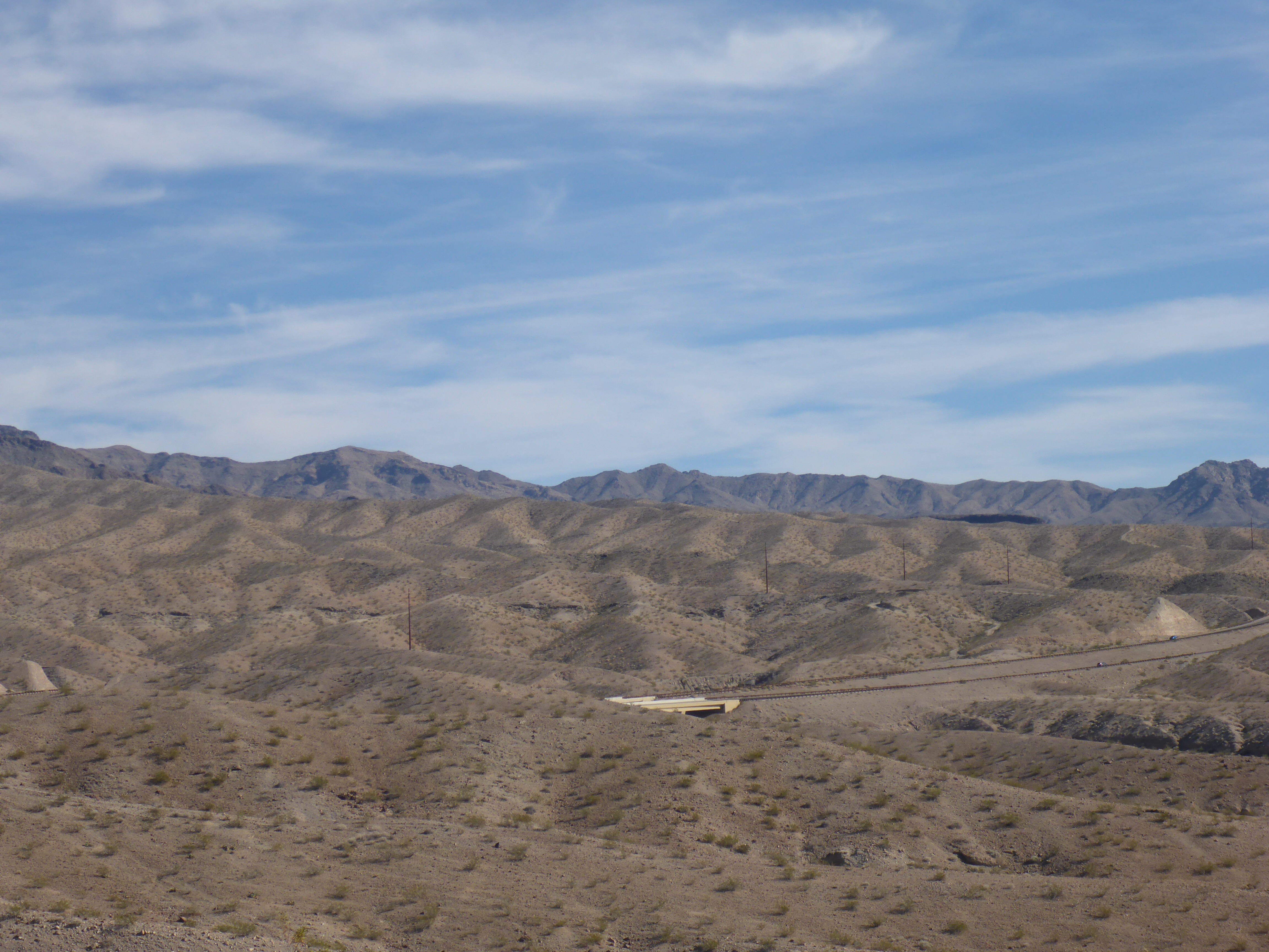
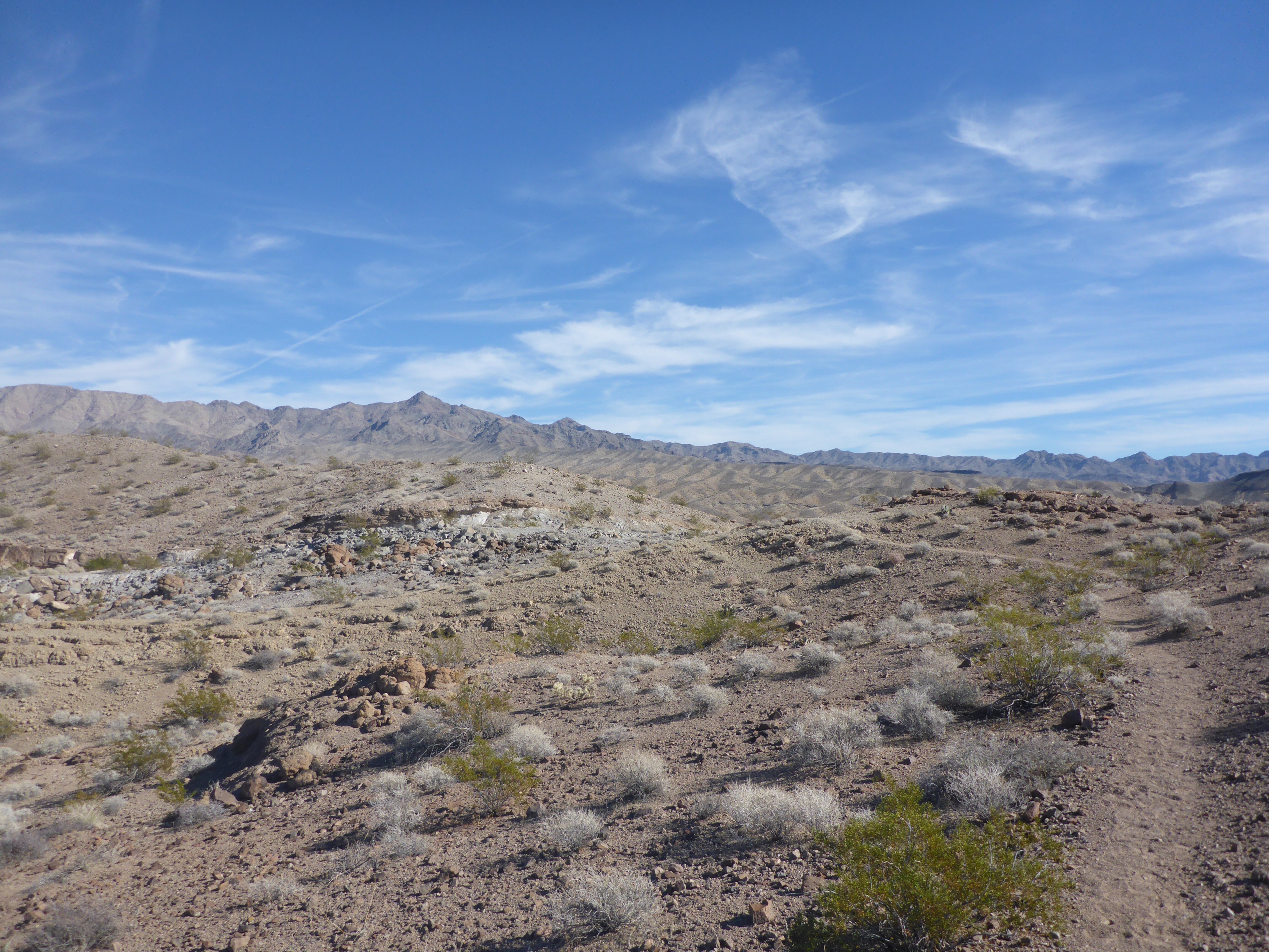
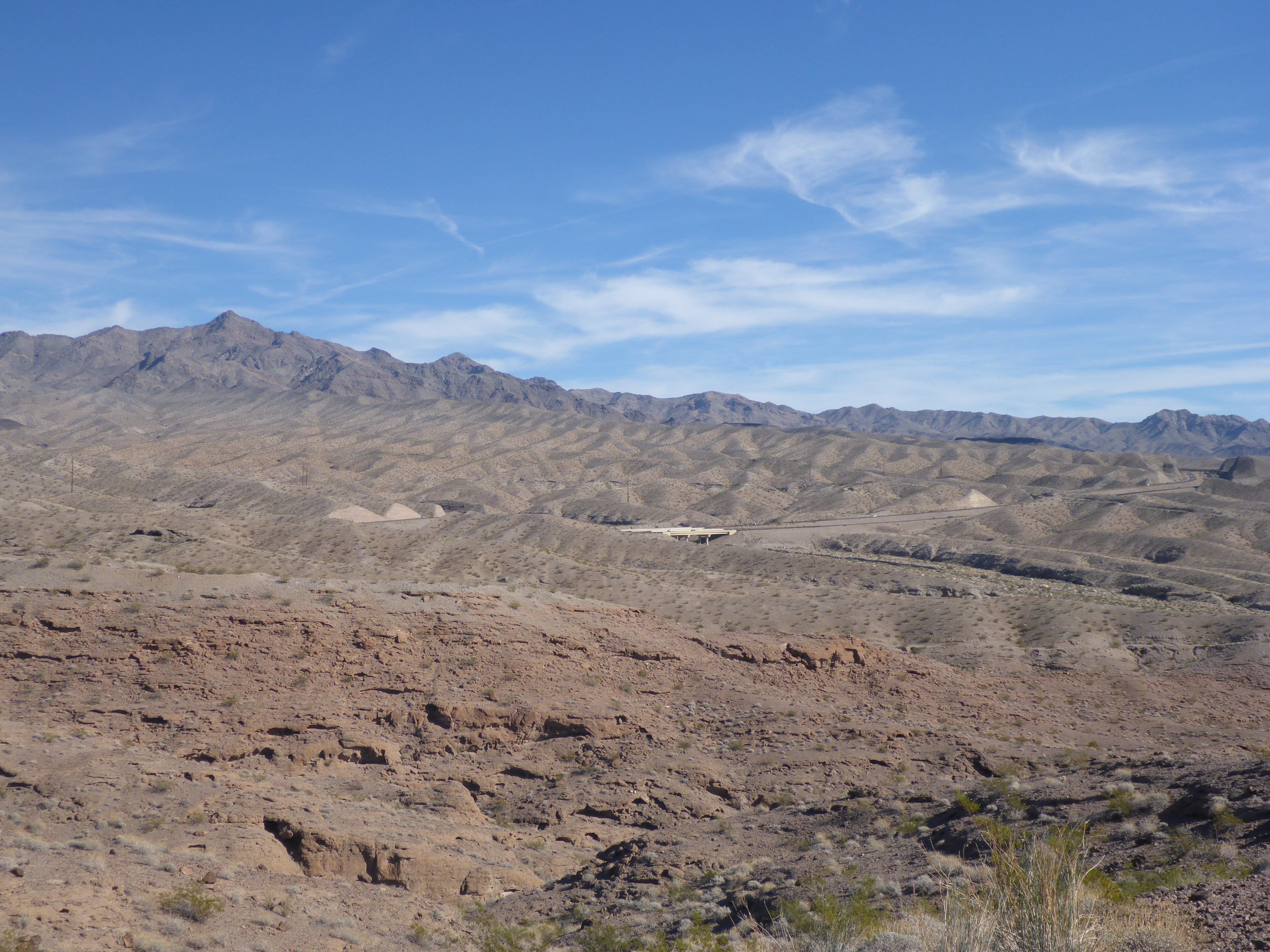
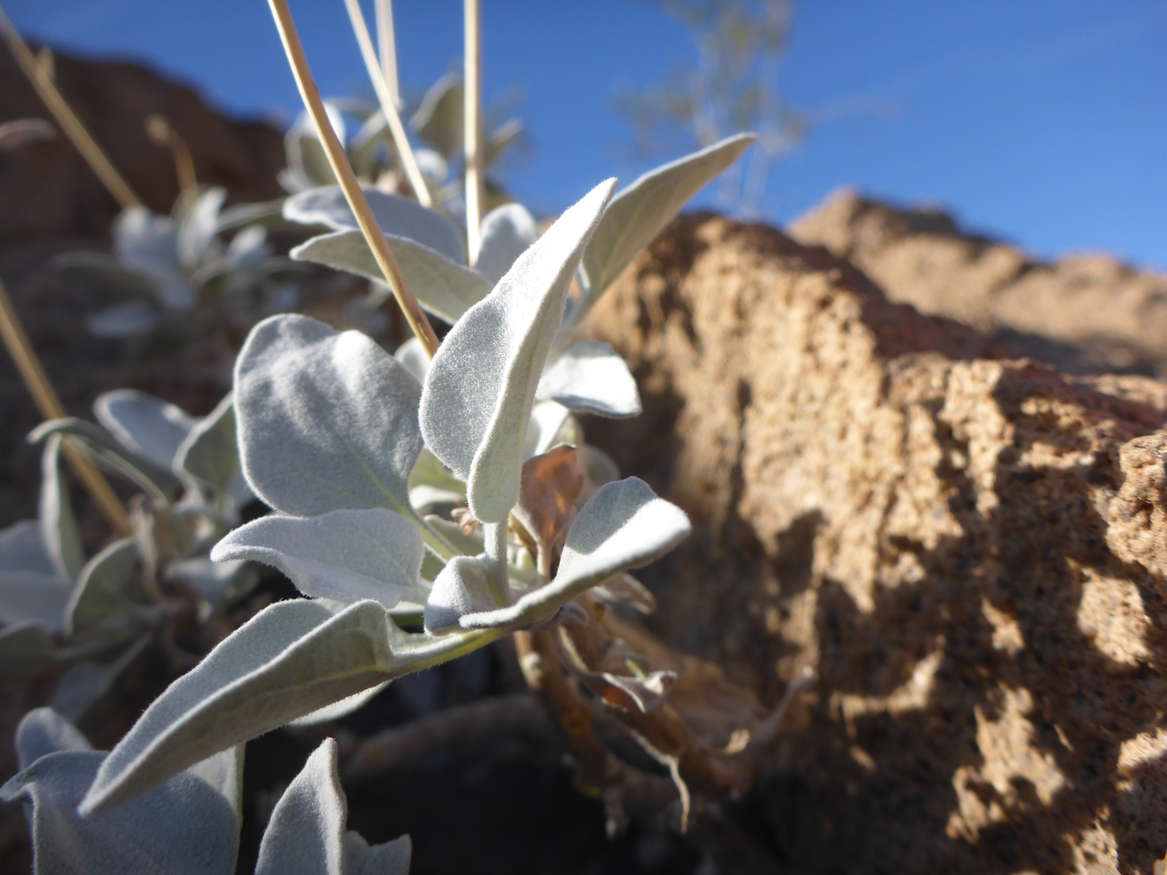
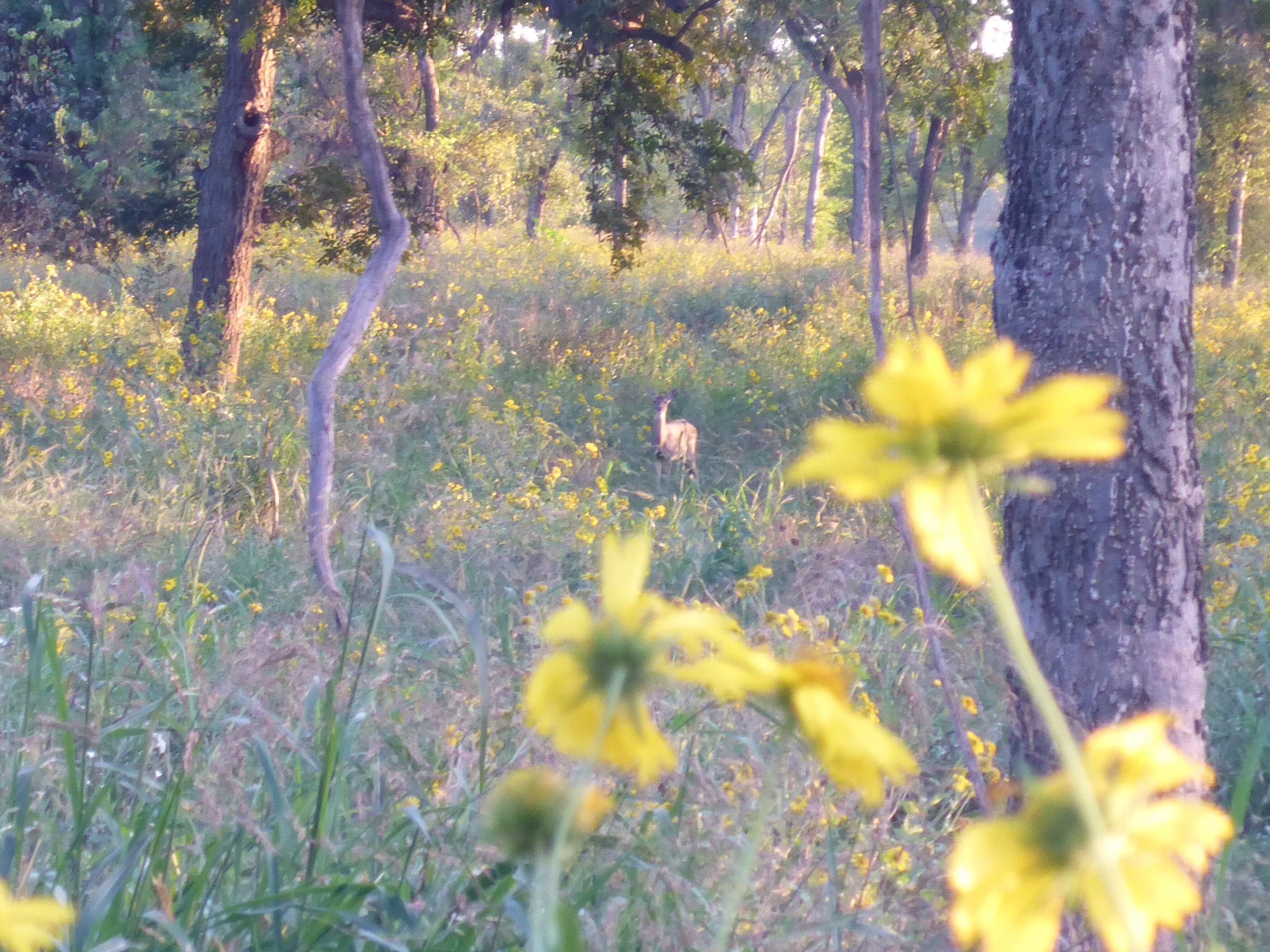
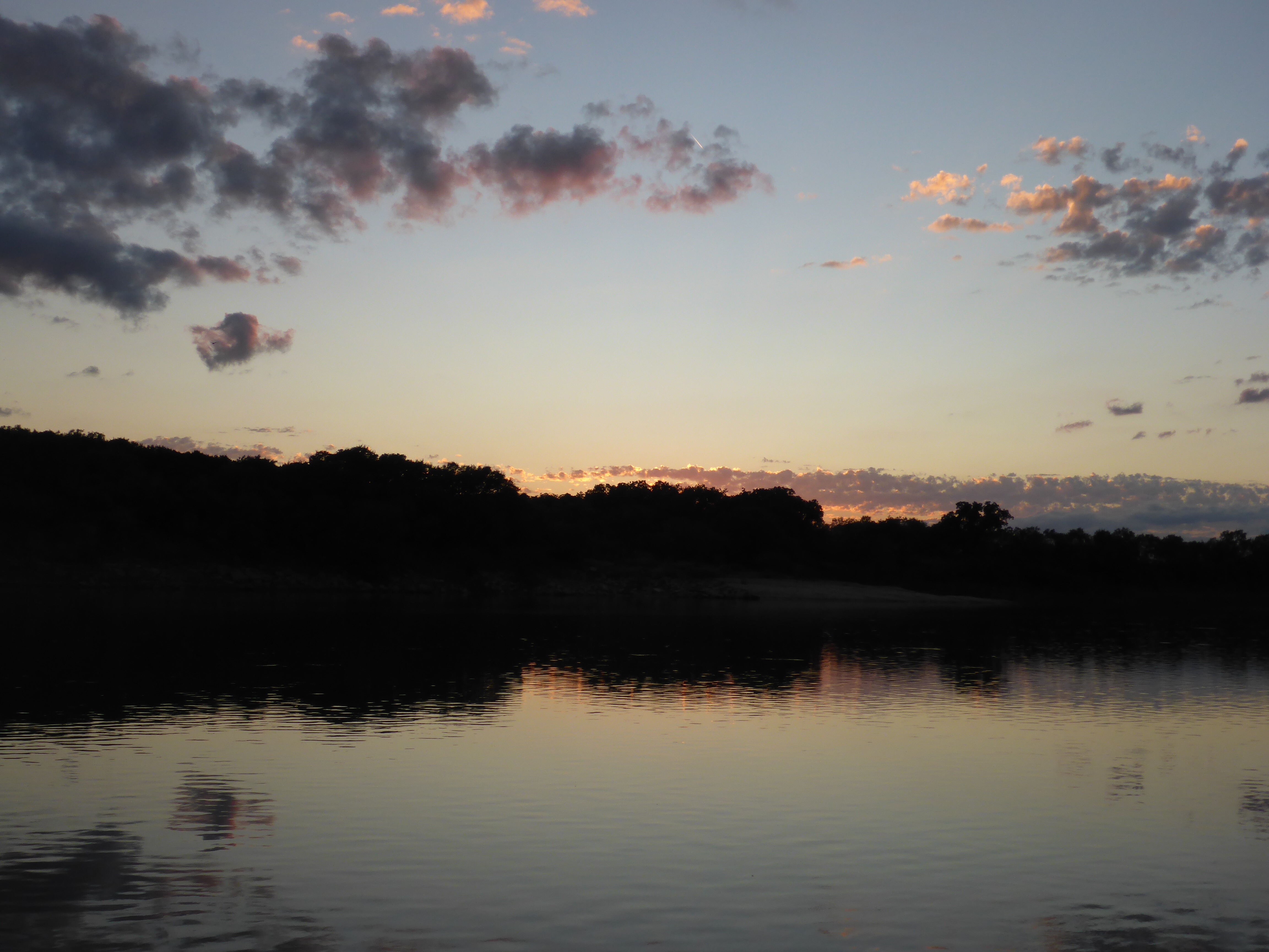
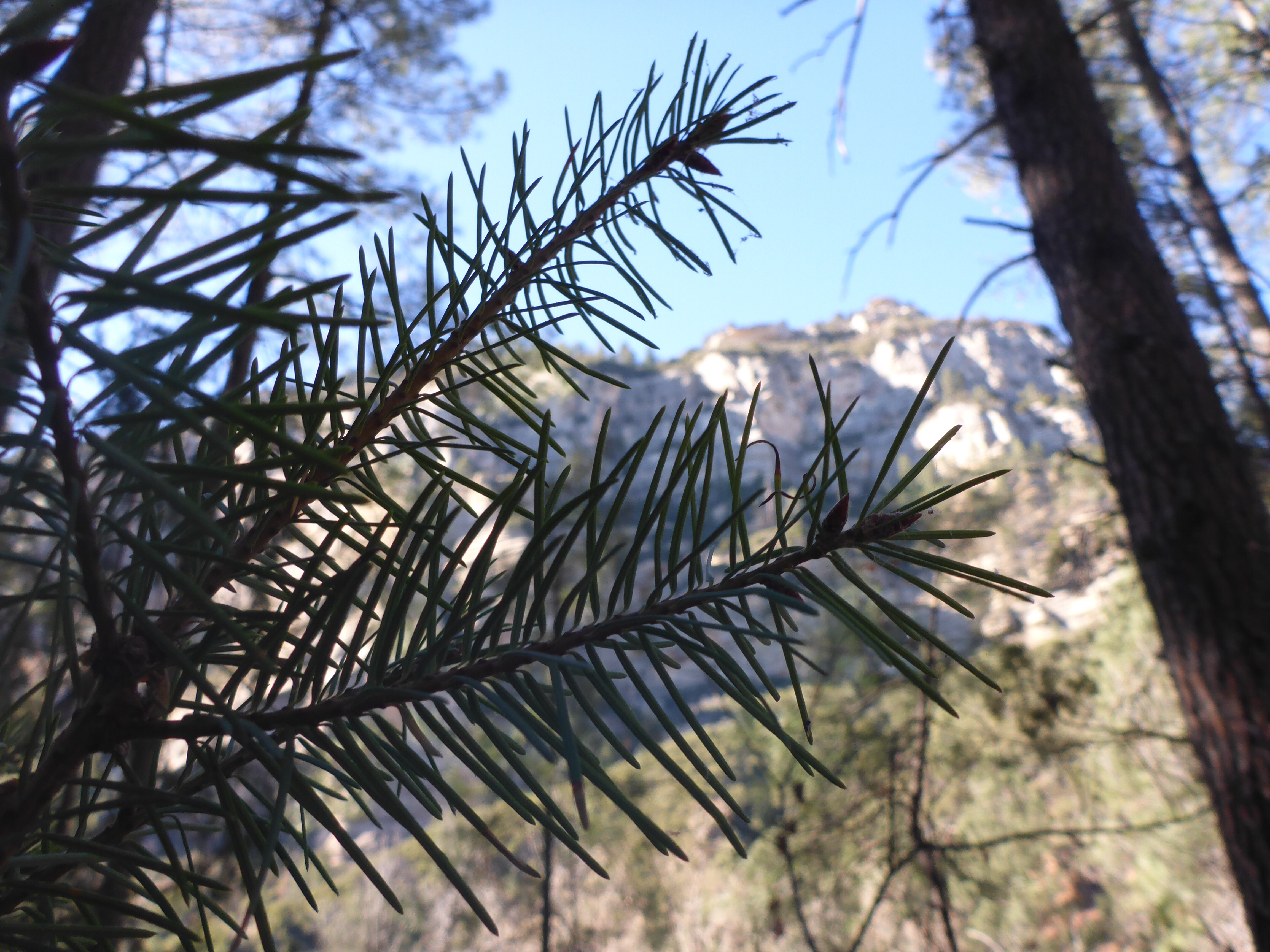
How to follow the wrong trail, but still get some nice photos. I wanted to hike Thomas Point Trail because of the scenic views that were described on the trail map. If only I had done a little bit of research, and found the official website, I would have known to climb up the steep hill directly instead of to climb slowly and track alongside the Road. Finding the launching point was challenge enough, as the map I had simply said that the trailhead was across Arizona State Route 89A from the Call of the Canyon Picnic Site. It was actually about a half mile down a narrow road which involved some serious car dodging and trail head sleuthing. Even though I tracked the wrong trail, I ended up having a nice hike through some pine trees and with some beautiful views. It turns out that sometimes it is OK to get lost.

IMG_4444

IMG_4445

IMG_4446

IMG_4447

IMG_4448

IMG_4450

IMG_4451

IMG_4452

IMG_4453

West Fork Trail

IMG_4436

The West Fork Trail is in a beautiful spot along Arizona State Route 89A, between Flagstaff and Sedona. If you are not into hiking, this is still an awesome drive to take. The hike is one of the most popular in the region. It takes you through an open pasture, across a bridge, and then alongside some rocky cliffs, with some stream crossings thrown in for fun. I didn’t hike the full length of this trail, because I wanted to hike a separate trail here, but someday I will return to try it again.

IMG_4437

IMG_4438

IMG_4439

IMG_4440

IMG_4441

IMG_4442

IMG_4443

Grand Canyon – Desert View Watchtower

IMG_4360

The Desert View Watchtower at the Grand Canyon is a magical place. It is a great stone tower built right on the edge of the canyon rim way back in 1932. You can climb to the top and enjoy the views of the canyon and the Colorado River below. After that, you can strike out on a hike along the ledge of the Grand Canyon to get to your perfect photo spot.

IMG_4361

IMG_4362

IMG_4363

IMG_4364

IMG_4365

IMG_4366

IMG_4367

IMG_4368

IMG_4371

IMG_4373

IMG_4374

IMG_4375

IMG_4376

IMG_4377

IMG_4378

IMG_4379

Grand Canyon – Bright Angel Trail

IMG_4326

One of my favorite experiences at the Grand Canyon was the short hike I had time for on part of the Bright Angel Trail. This is a must do if you visit – take a day hike. You may encounter spectacular views, wildlife, and other friendly hikers from around the world. Please do this if you can, but also be safe as you plan for and enjoy the hike.

IMG_4327

IMG_4328

IMG_4329

IMG_4330

IMG_4331

IMG_1799-1

IMG_4333

IMG_4334

IMG_4335

IMG_1798-1

IMG_4337

IMG_4338

IMG_4339

IMG_4340

IMG_4341

IMG_4342

IMG_4343

IMG_4344

IMG_4345

IMG_4346

IMG_4347

Lower Bristlecone Trail

IMG_4258

Just a short ride out to Lee Canyon from the Vegas Strip, and you will discover some beautiful hikes. The Lower Bristlecone Trail is an easy one, with a wide gravel path to enjoy. Along the way, I found pine trees, mountain views, fresh air, woodpeckers, pine cones, and deer. I highly recommend a drive out to Lee Canyon if you find yourself in the area.

IMG_4261

IMG_4262

IMG_4263

IMG_4264

IMG_4265

IMG_4266

IMG_4267

IMG_4268

IMG_4269

Liberty Bell Arch Trail – Scenic Views

IMG_4217

The Liberty Bell Arch Trail starts from a wash in the desert, and then rises in elevation to provide several scenic views of the hills surrounding the Colorado River, just below Hoover Dam. This hike is a super hot desert hike, always in the sun. It is best left for the winter months. However, if you take the challenge, you will be rewarded with beautiful panoramic views.

IMG_4216

IMG_4221

IMG_4222

IMG_4224

IMG_4225

IMG_4227

IMG_4228

IMG_4229

IMG_4231

IMG_4232

IMG_4233

IMG_4234

Liberty Bell Arch Trail – Trail Map

IMG_4218

The trail for the Liberty Bell Arch starts just around the 4 mile marker off of Highway 93 in Arizona. There is a nice big parking lot, a slightly misleading trail map, and a bridge to cross under to start your hike. What they don’t tell you is that there are several different trails out there, and if you are not careful, you can end up on the wrong one even if you follow the signs. I ended up on the wrong trail that led me for a long, but beautiful, loop through the desert. All the while getting further and further from the bridge with pretty looks back towards my jumping off point.

IMG_4215

IMG_4219

IMG_4220

IMG_4223

IMG_4226

IMG_4230

IMG_4235