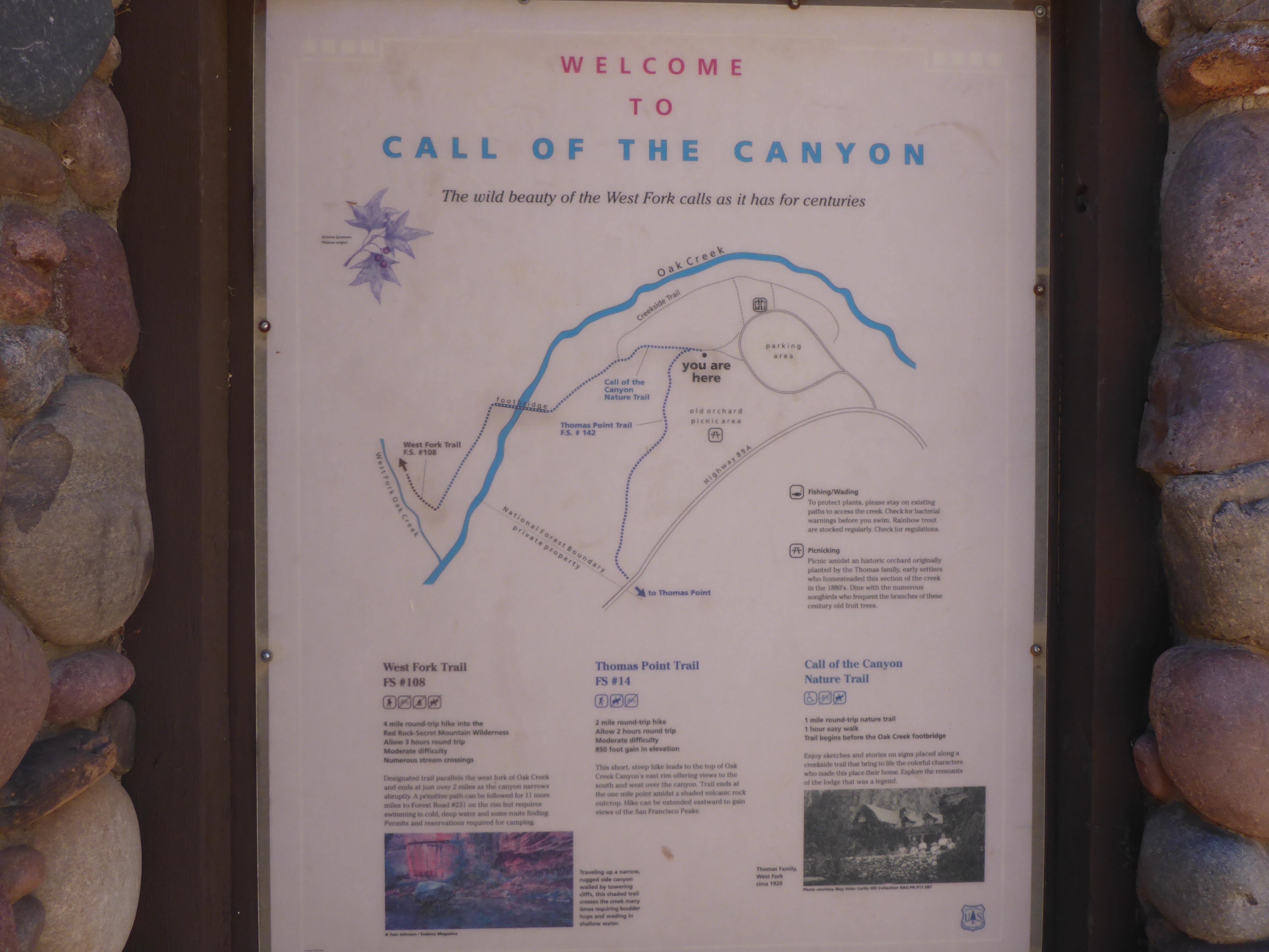
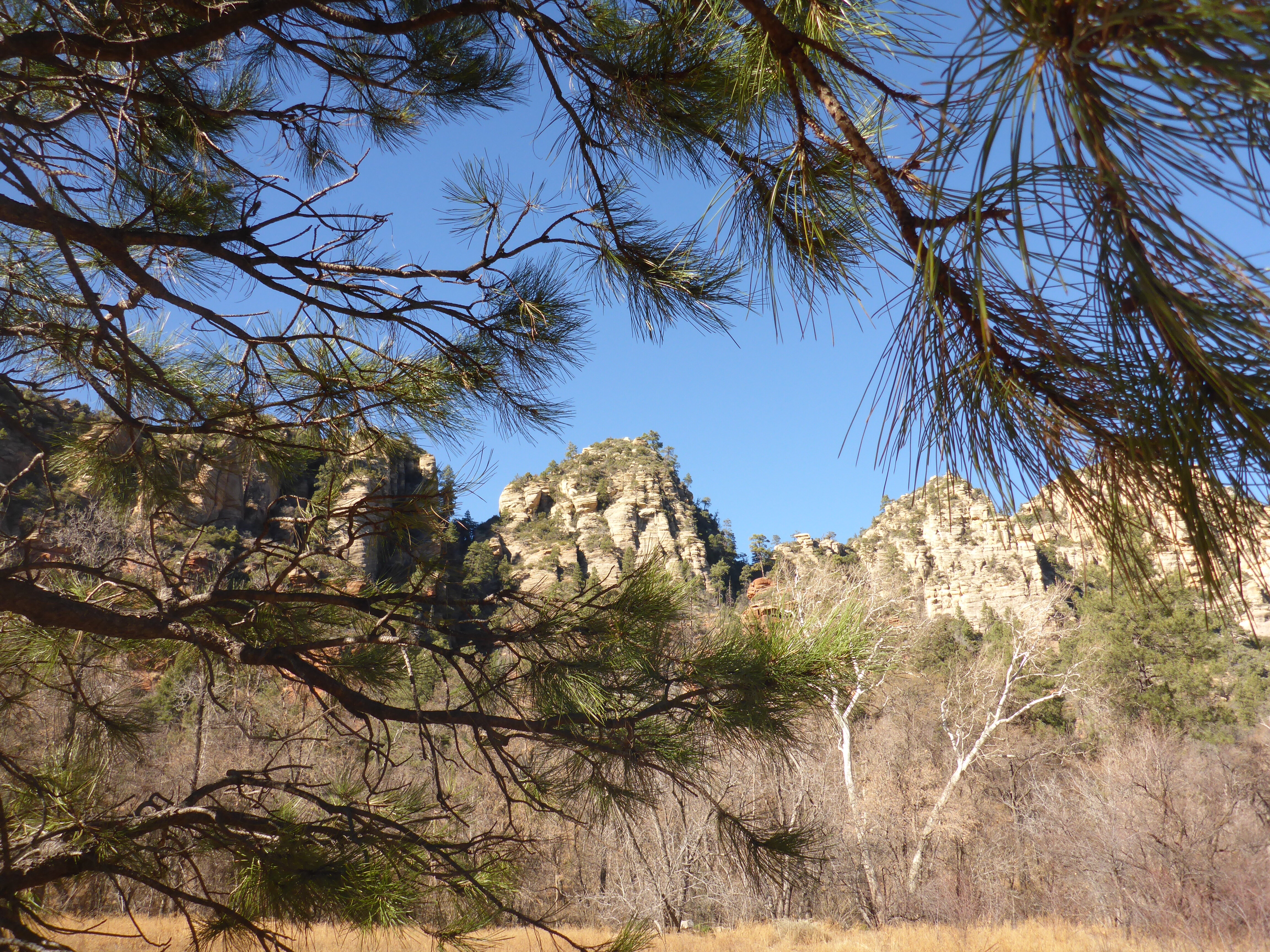
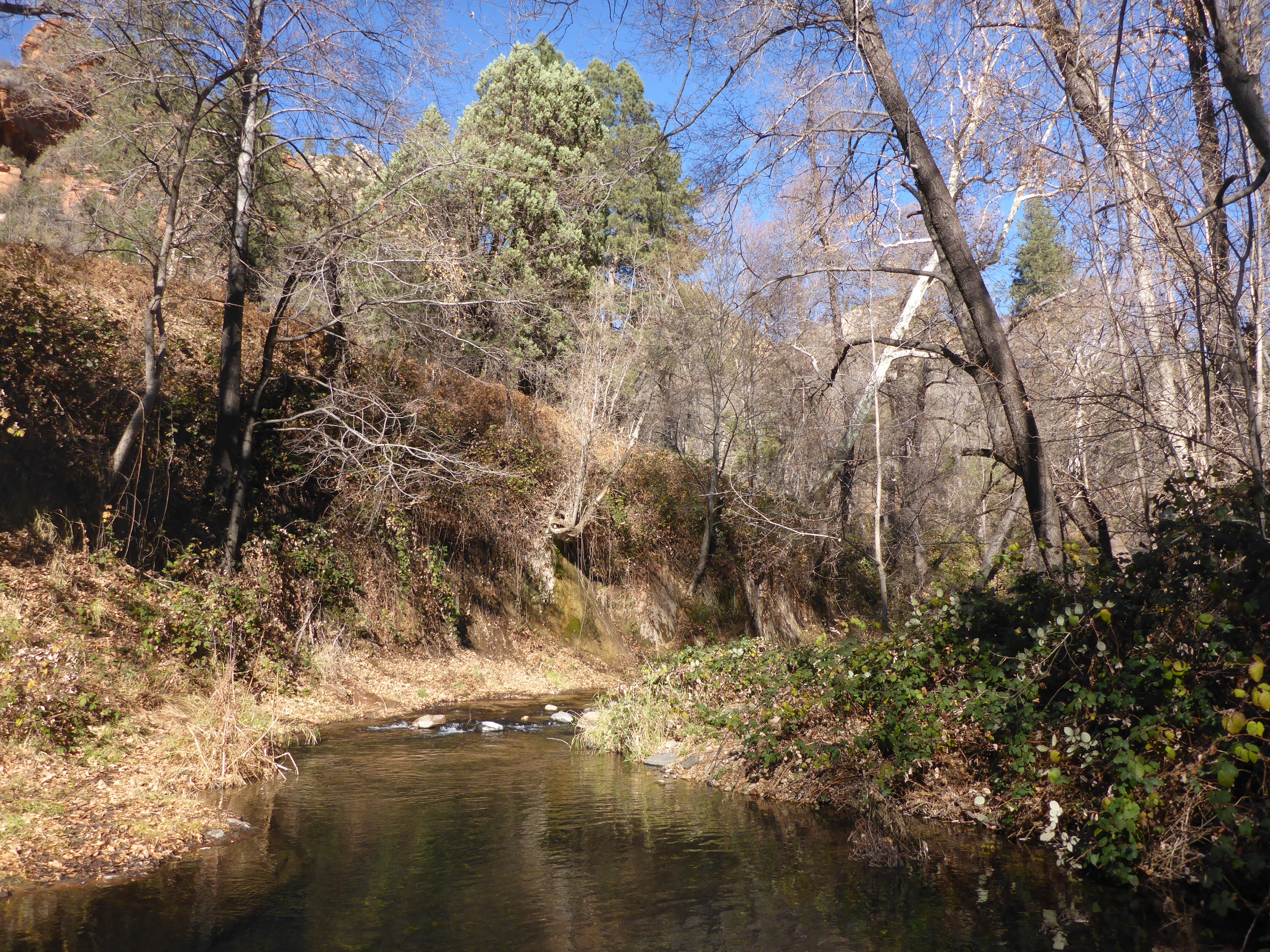
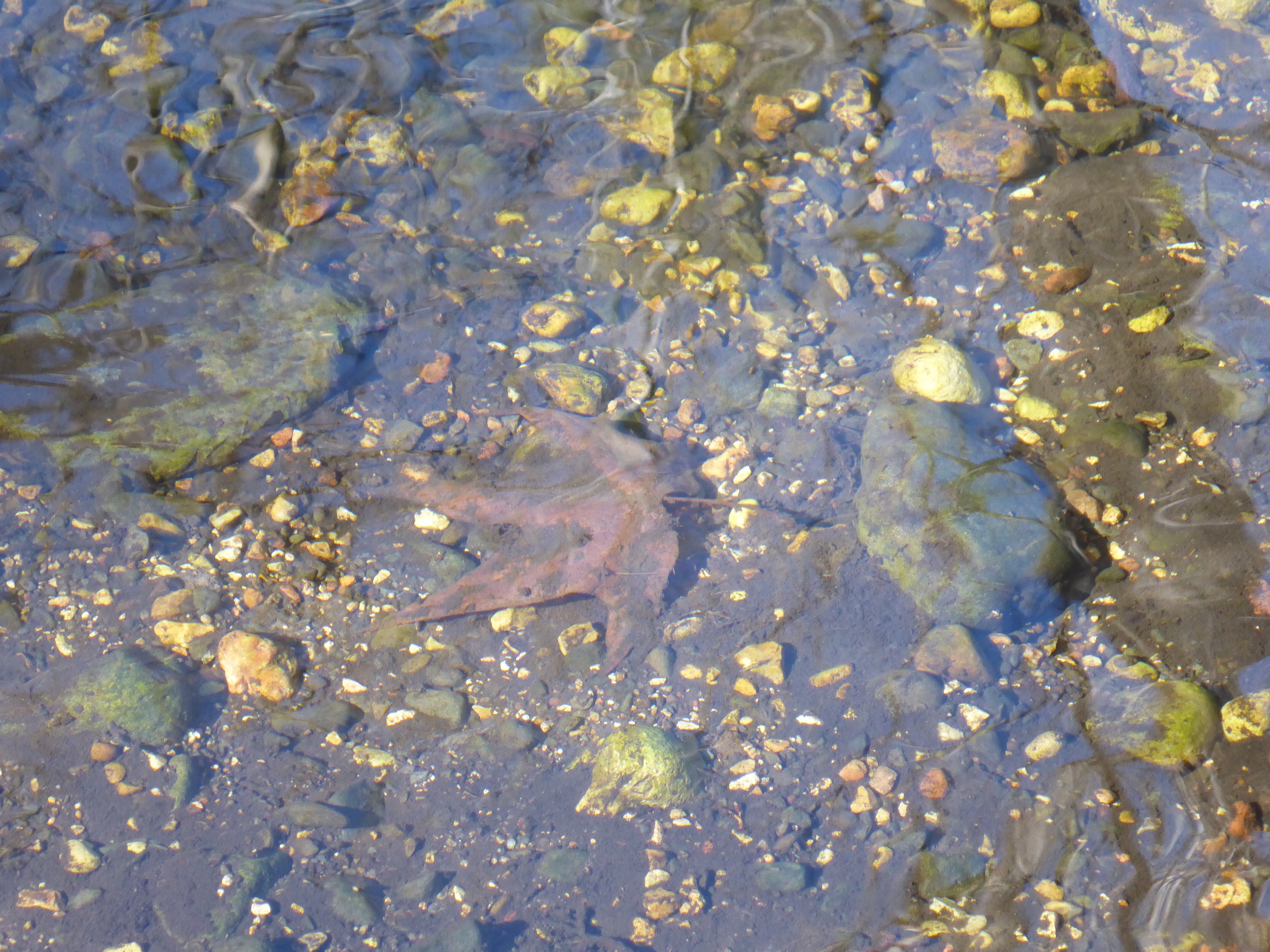
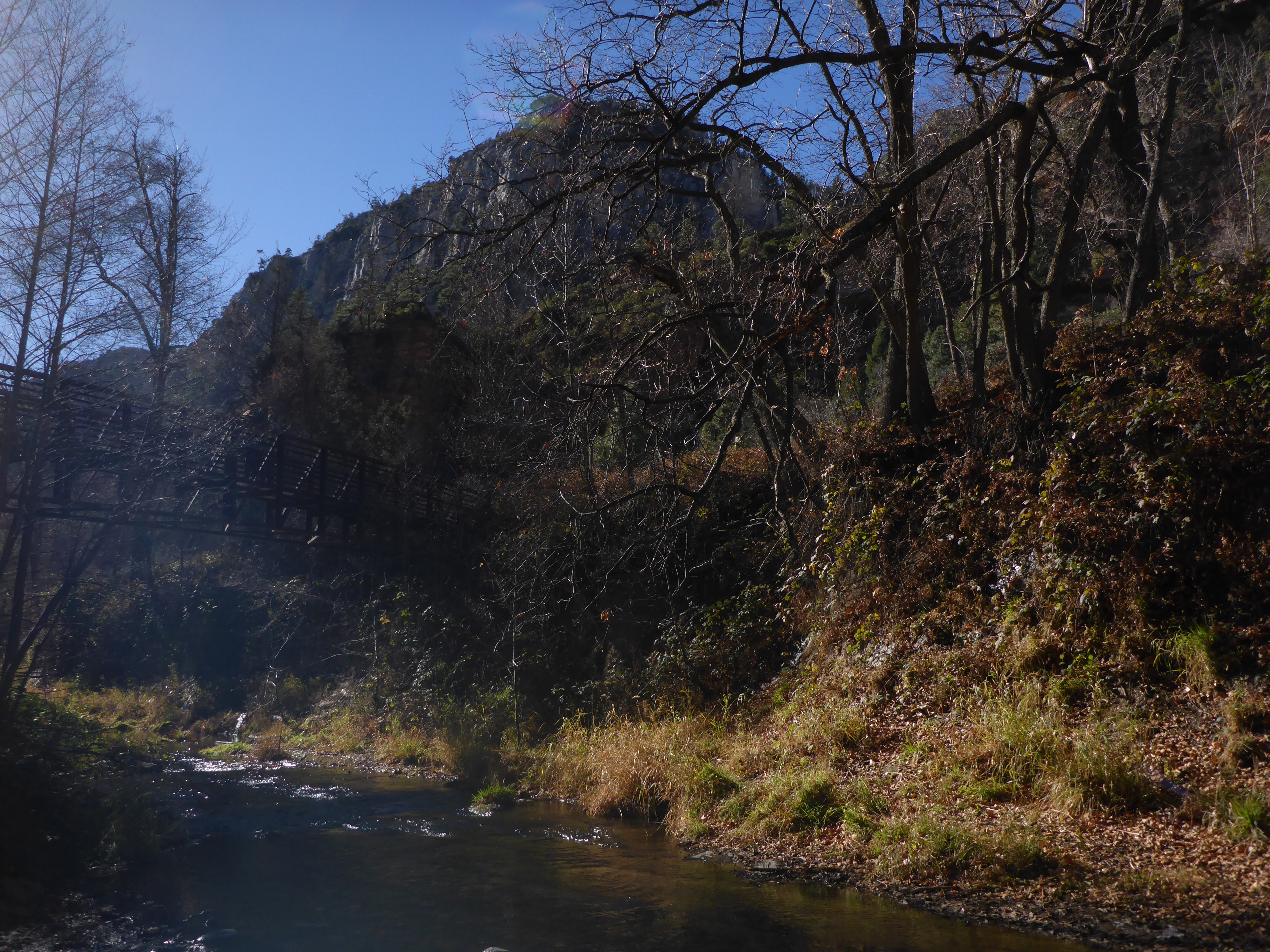
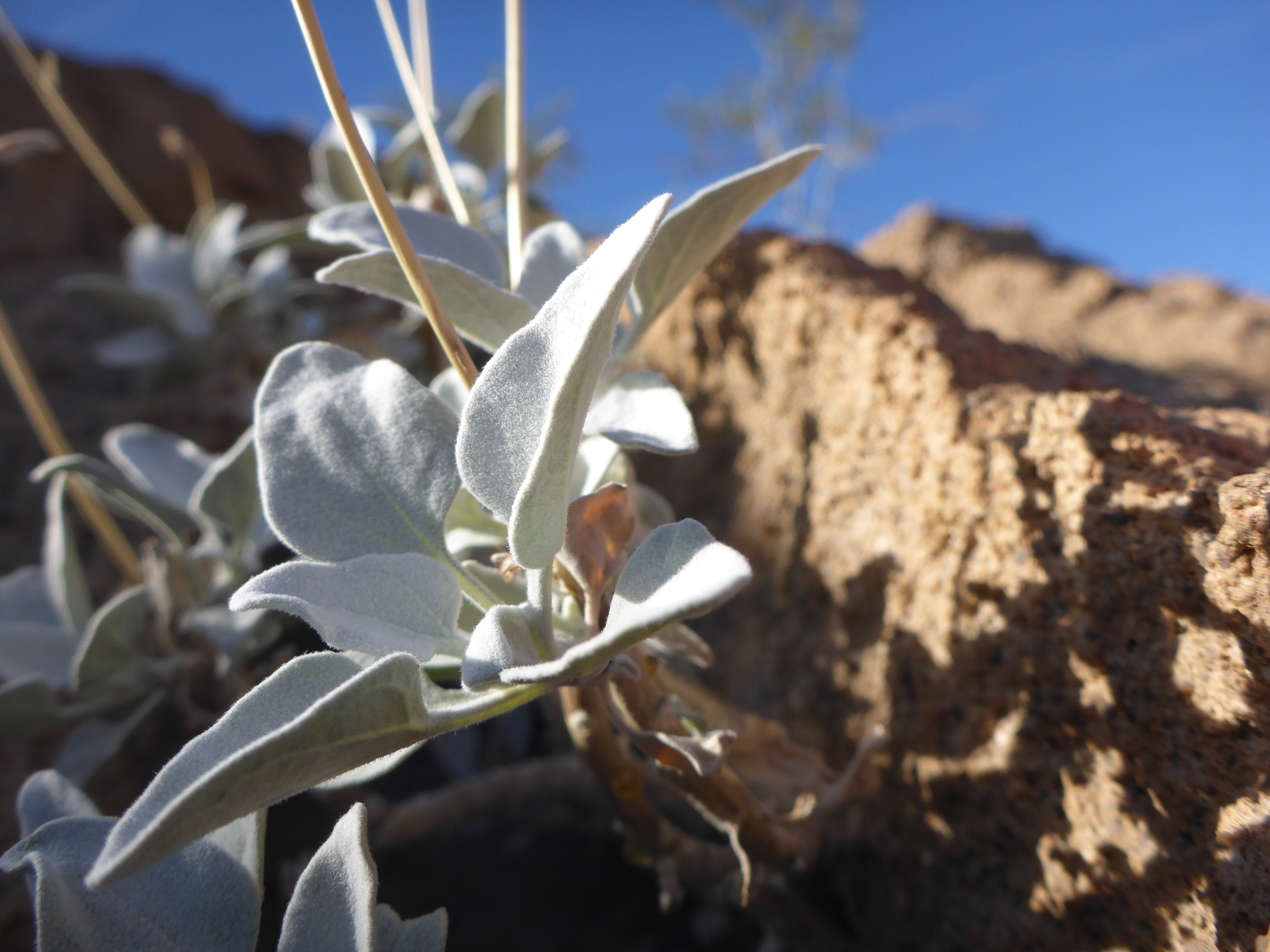
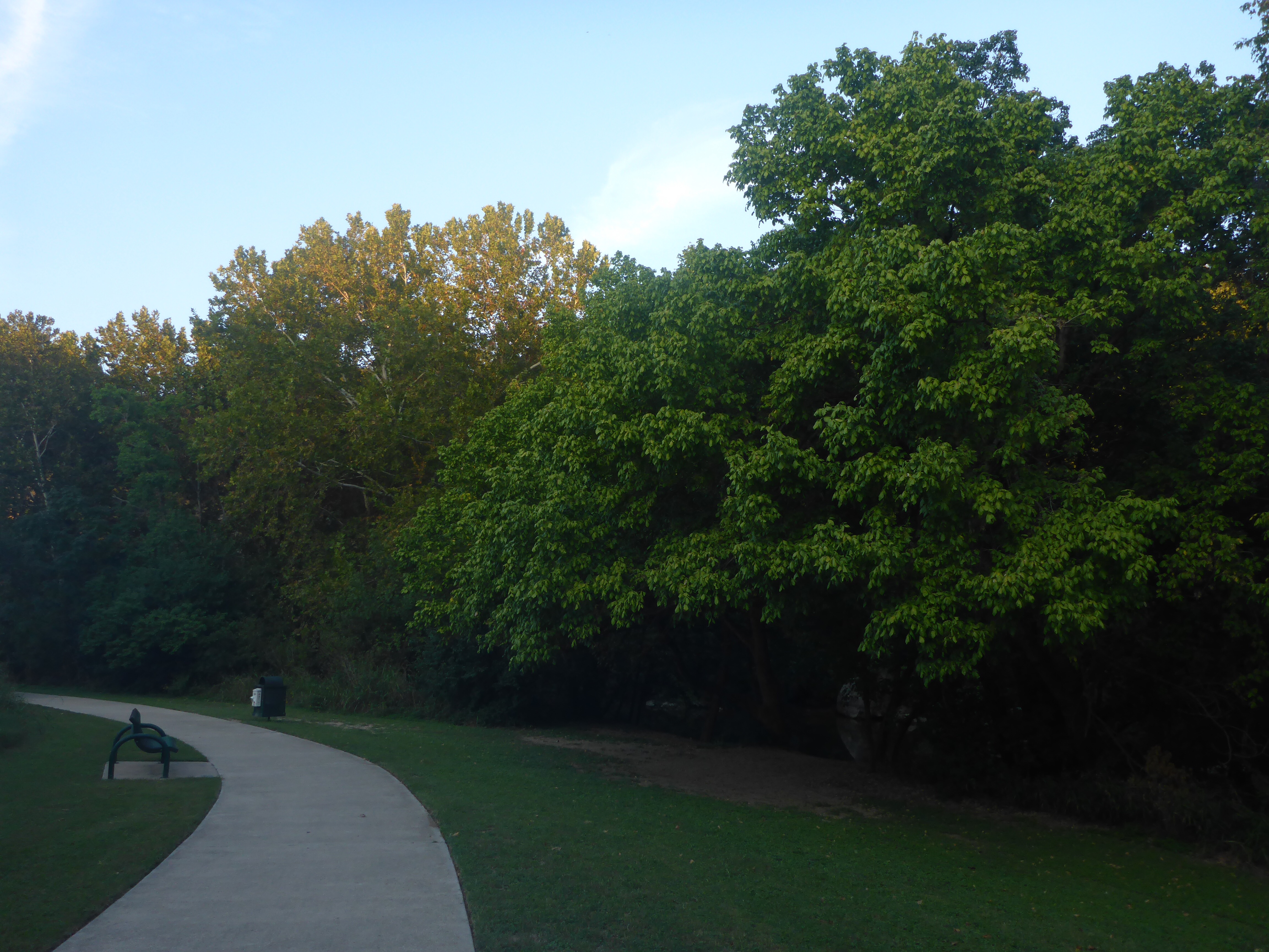
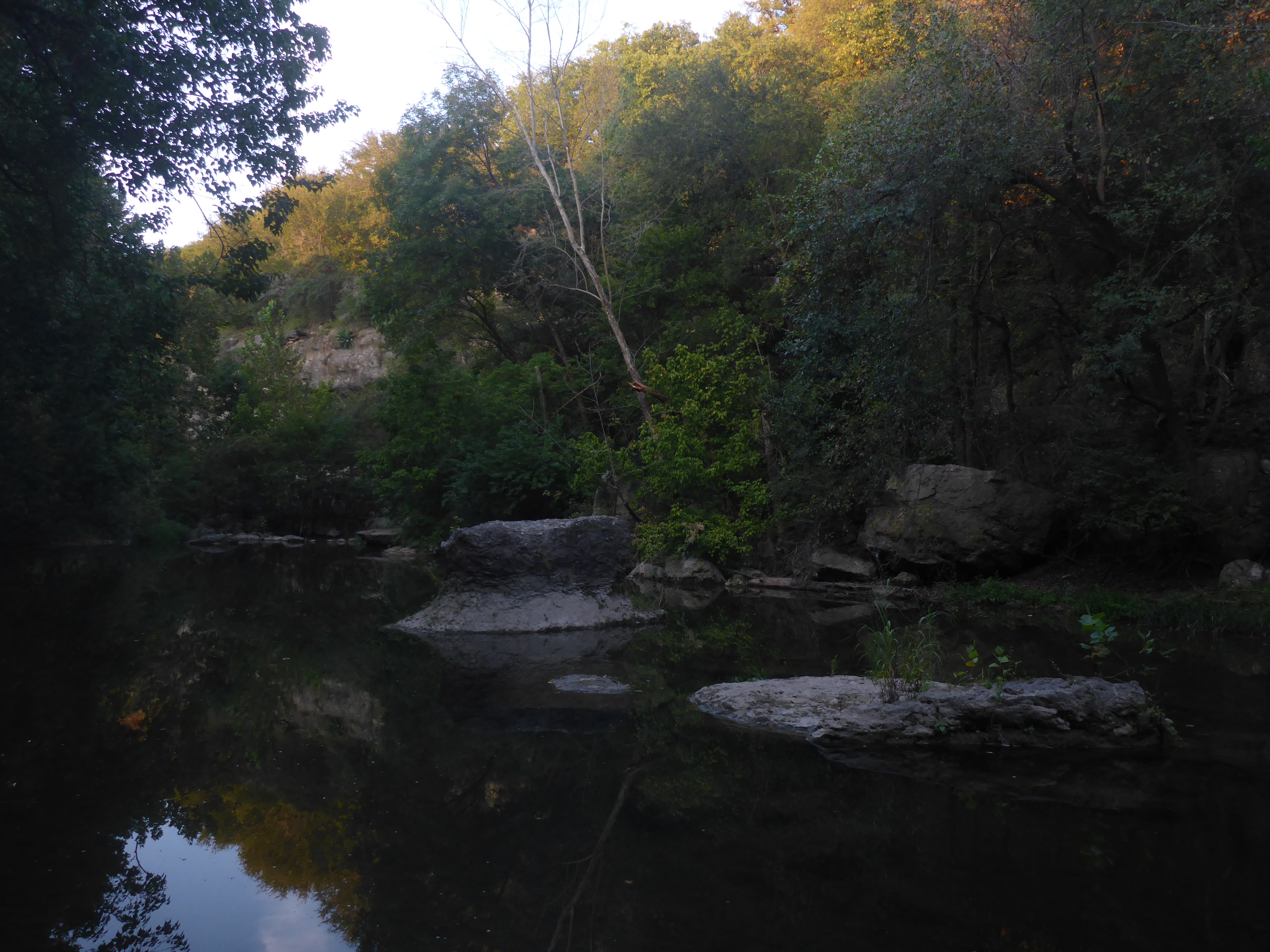
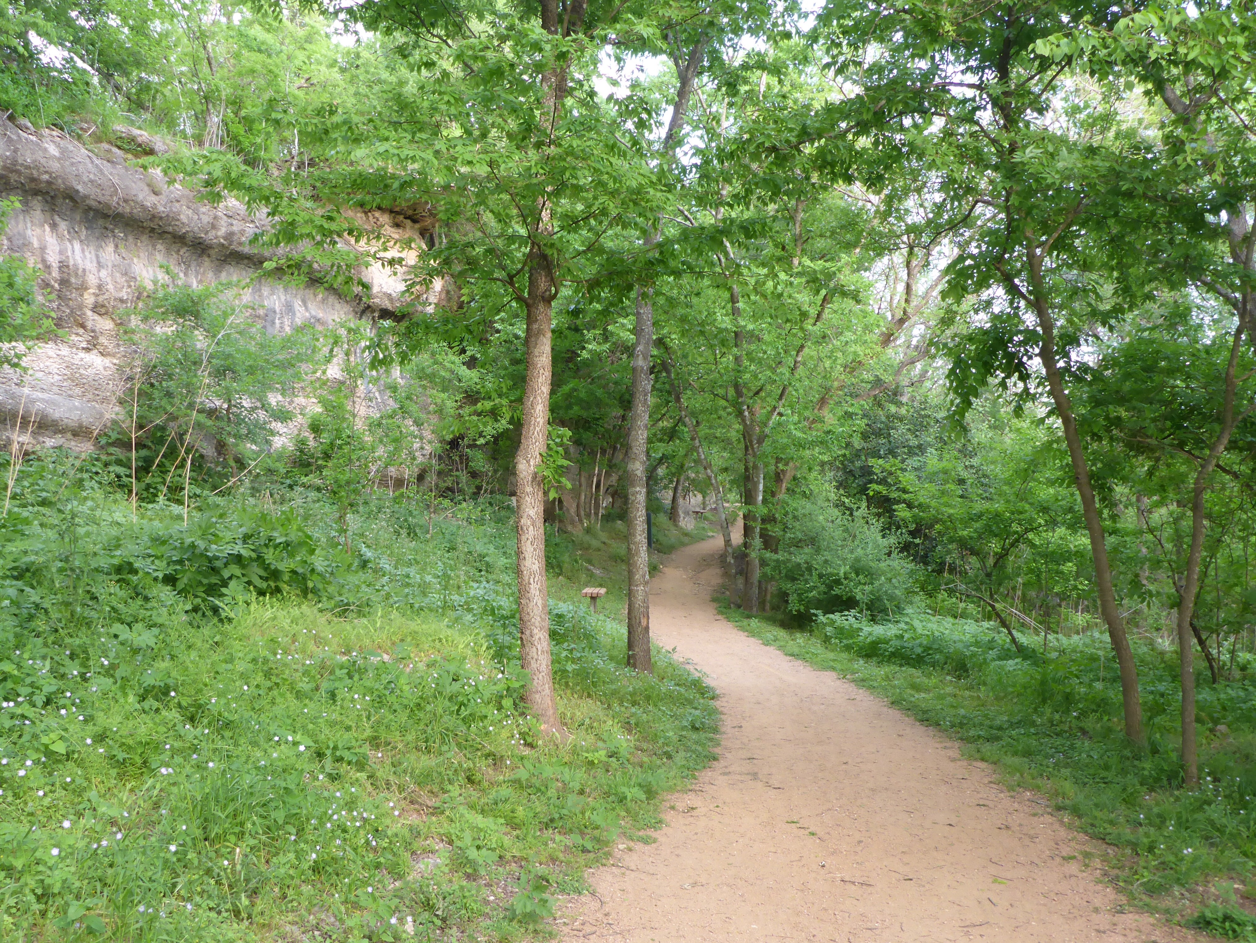
The West Fork Trail is in a beautiful spot along Arizona State Route 89A, between Flagstaff and Sedona. If you are not into hiking, this is still an awesome drive to take. The hike is one of the most popular in the region. It takes you through an open pasture, across a bridge, and then alongside some rocky cliffs, with some stream crossings thrown in for fun. I didn’t hike the full length of this trail, because I wanted to hike a separate trail here, but someday I will return to try it again.
Tag Archives: Trail Map
Grand Canyon – Bright Angel Trail
One of my favorite experiences at the Grand Canyon was the short hike I had time for on part of the Bright Angel Trail. This is a must do if you visit – take a day hike. You may encounter spectacular views, wildlife, and other friendly hikers from around the world. Please do this if you can, but also be safe as you plan for and enjoy the hike.
Liberty Bell Arch Trail – Trail Map
The trail for the Liberty Bell Arch starts just around the 4 mile marker off of Highway 93 in Arizona. There is a nice big parking lot, a slightly misleading trail map, and a bridge to cross under to start your hike. What they don’t tell you is that there are several different trails out there, and if you are not careful, you can end up on the wrong one even if you follow the signs. I ended up on the wrong trail that led me for a long, but beautiful, loop through the desert. All the while getting further and further from the bridge with pretty looks back towards my jumping off point.
Rivery Park Walk
The temperature hit just above 90 degrees Fahrenheit in Central Texas today, so I opted for a late evening walk with hopes of less heat on the path. I started off from Rivery Park in Georgetown, which you can see from the trail map photo is located in the middle of the Georgetown trail system. It turned out to be a nice walk along the paved trail, with gentle slopes to climb up and down, and some nice views of the San Gabriel River.
To the Waterfall
If you get out of work late on a Friday evening, you only have so much time for a sunset hike. My plan at Wild Basin Wilderness Preserve was to make it to the waterfall, then to hit the Scenic Overlook before the sun went down and the park was closed. I made it. 🙂
Booty’s Road Park
Today’s hike started off at Booty’s Road Park. This is probably my favorite section of the trails along the San Gabriel River with short cliffs on one side and the River on the other side. There are birds and deer along the way also. The trail is gravel in some places and paved in others with resting spots sprinkled throughout. You can hike for a short while and return to the park, or you can take out on a longer route if you want more exercise. Overall, a nice hiking experience in Georgetown.
Doeskin Ranch – Trail Map
If you are looking for a relatively easy and sunny hike just outside of Austin, Doeskin Ranch in the Balcones Canyonlands Natural Wildlife Refuge is a good spot. The three main trails form a loop that is about 3.5 miles long. At this time of year you will find a clear stream to cross, rolling hills to climb, and plenty of wildflowers to enjoy.
Enchanted Rock – Trail Map
Enchanted Rock is getting so popular, that they run out of parking spots and close the Park for hours at a time. Make sure you check the website or Twitter account before making the drive out there. I was lucky and the Park was reopened shortly after my afternoon arrival. Here is a trail map to ponder along with some photos of the pink granite dome to give you an idea of the size of things.
Watchman Trail – Trail Map
The Watchman Trail is listed as a moderate hike in the Zion National Park Hiking Guide with a distance of 3.3 miles and an elevation change of 368 feet. I think a lot of people may take a pass on this trail because it kicks off right from the Visitor Center. However, I liked the trail and its scenic views of the Zion Canyon and beyond. Here is the Trail Map and several photos taken from ground level or from a very low elevation at the beginning of the hike. As you may know by now, Zion National Park is a beautiful place.
Closed Canyon – Trail Map
Closed Canyon is a slot canyon located in the Big Bend Ranch State Park. The trailhead is just off of Farm to Market Road 170, and the hike is about 1.4 miles long round trip. It is a beautiful place. According to the brochure, “Mountain lion, javelina, rock squirrels and a variety of lizard and snake species including the greater earless lizard, desert spiny lizards and the western diamondback rattlesnake may be seen in or near the canyon.” Lucky for me, I had the Canyon all to myself.