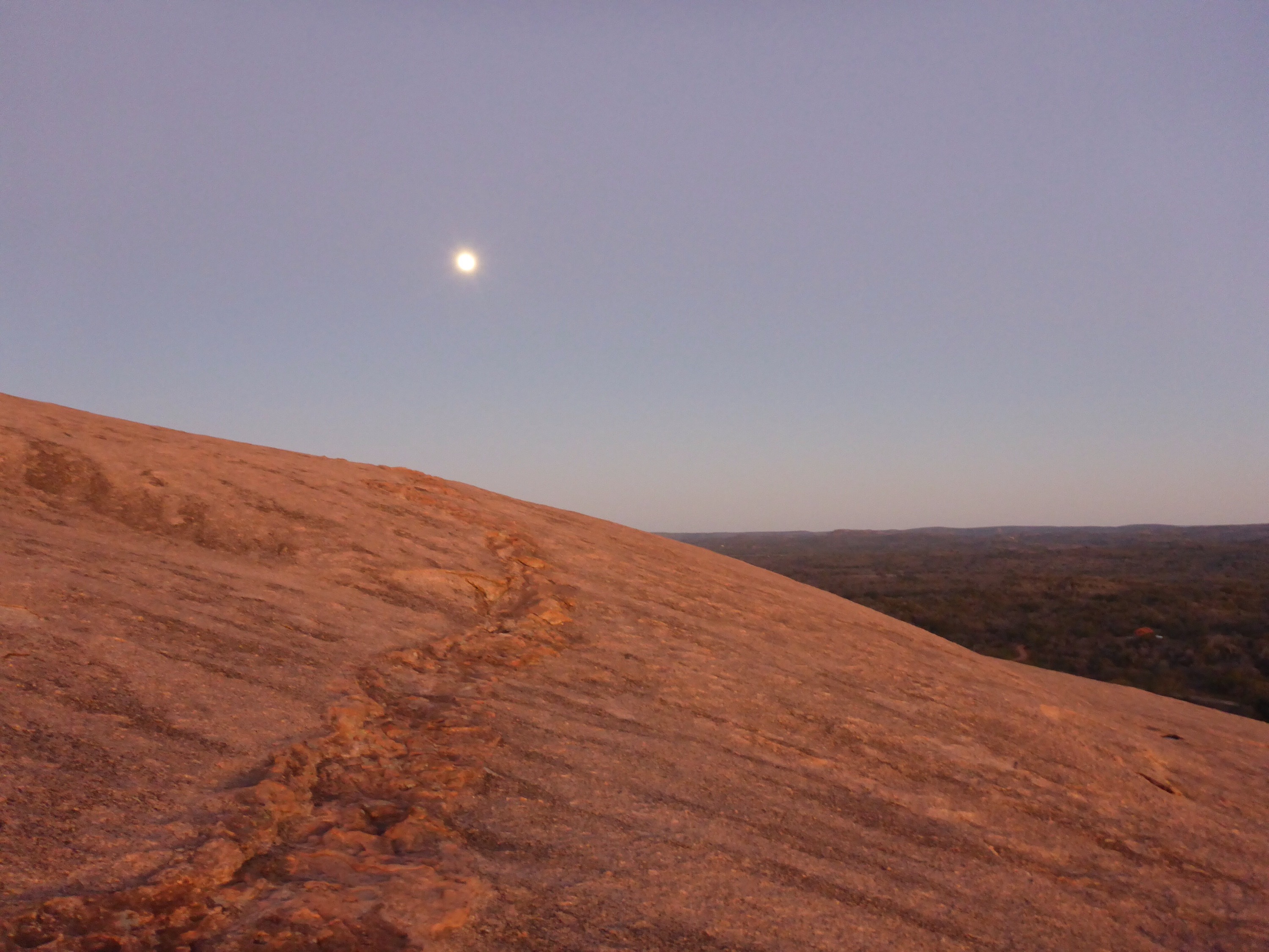
I wasn’t expecting this view when I rounded the corner on the Echo Canyon Trail. Beautiful. 🙂

I wasn’t expecting this view when I rounded the corner on the Echo Canyon Trail. Beautiful. 🙂
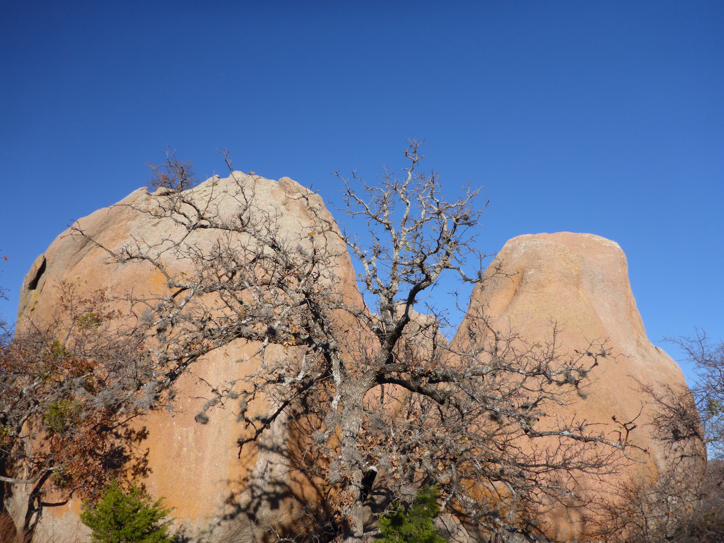
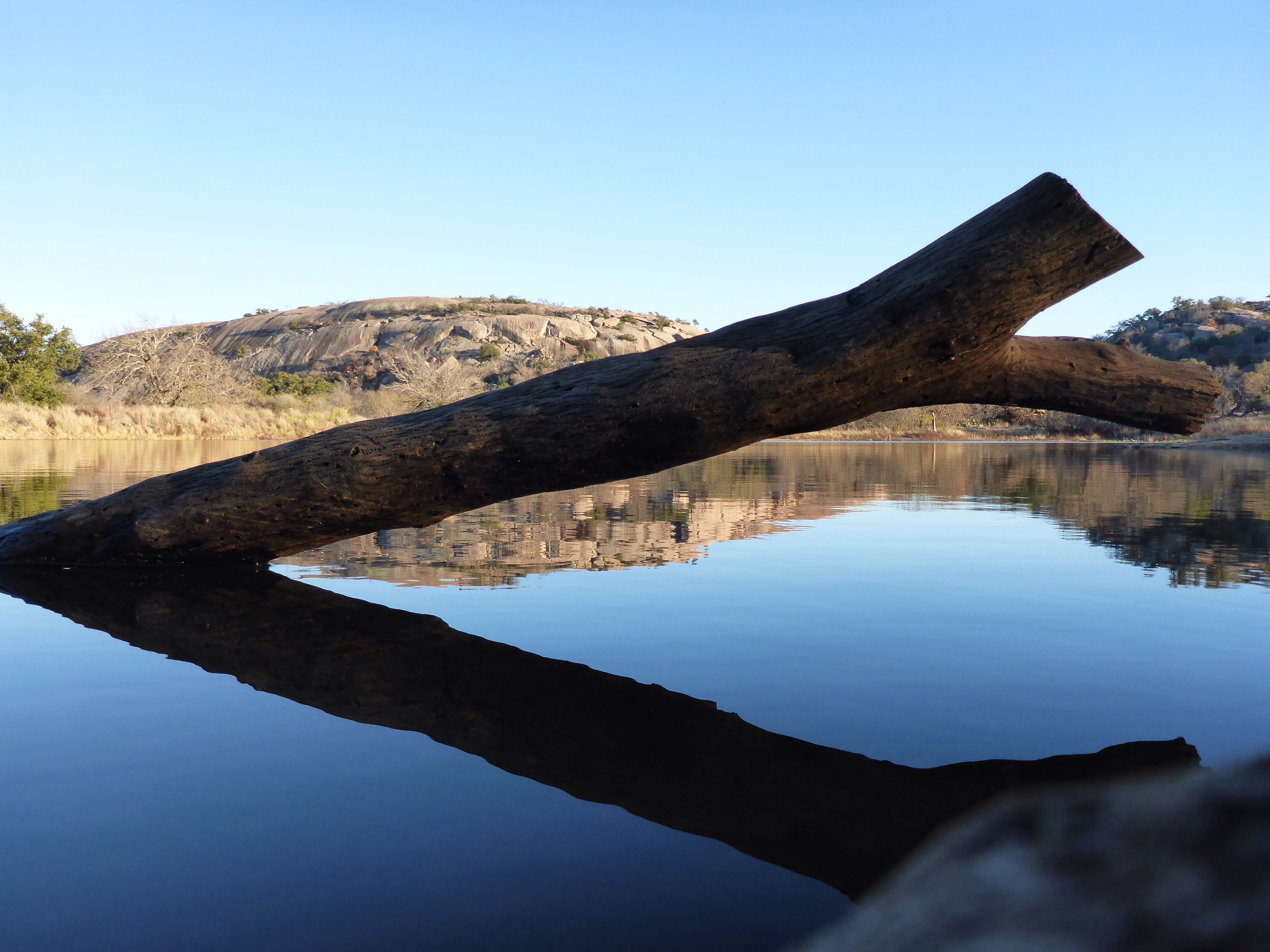
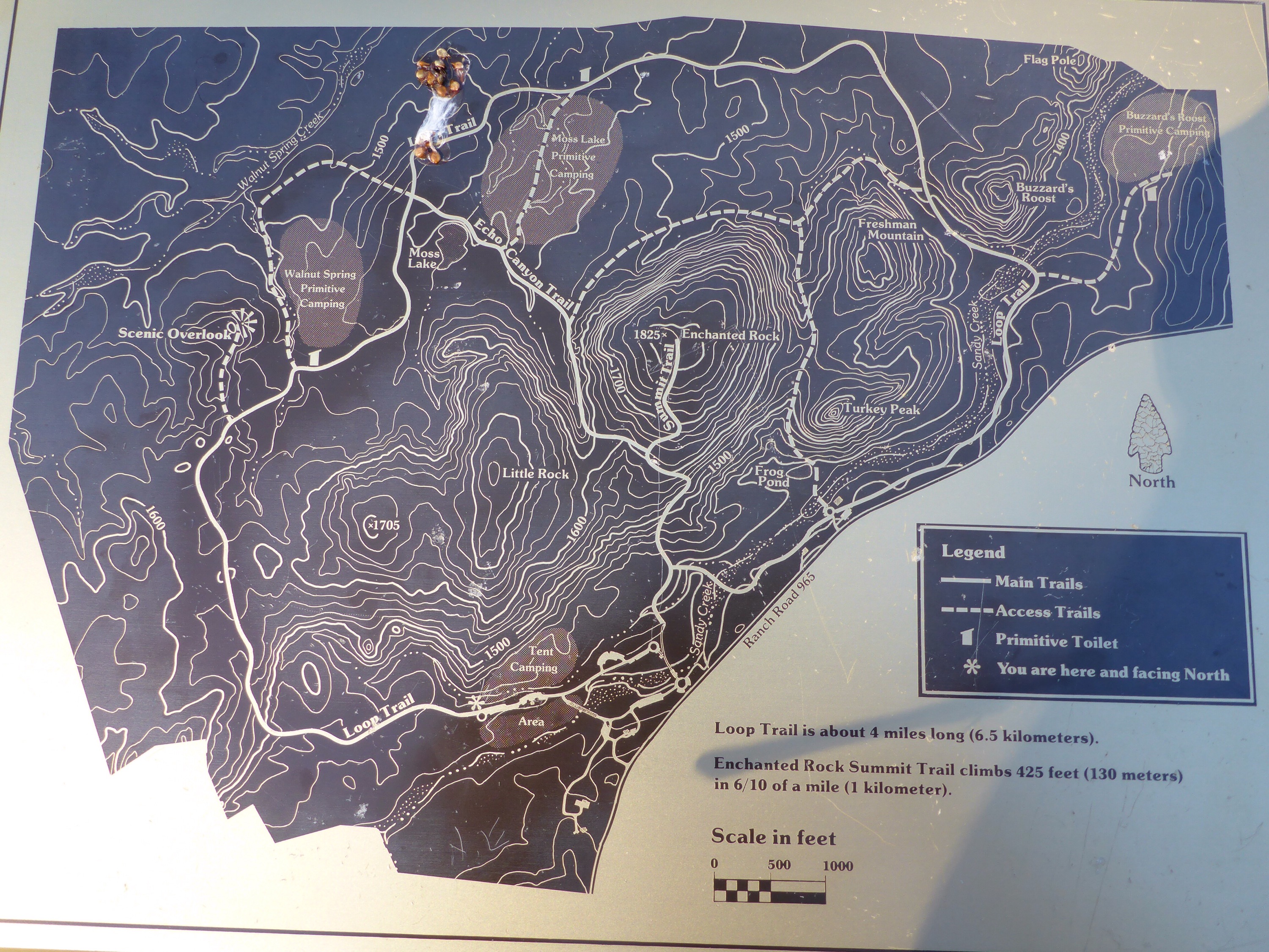
Today’s mission was to hike some trails and climb up to the top of Enchanted Rock. My plan was to take the Loop Trail to the Scenic Overlook. From there, I would backtrack a little and hike over to the Echo Canyon Trail. Then I would meet up with the Summit Trail and roam around on top of the Rock until the sun went down. It was an awesome day for this hike!

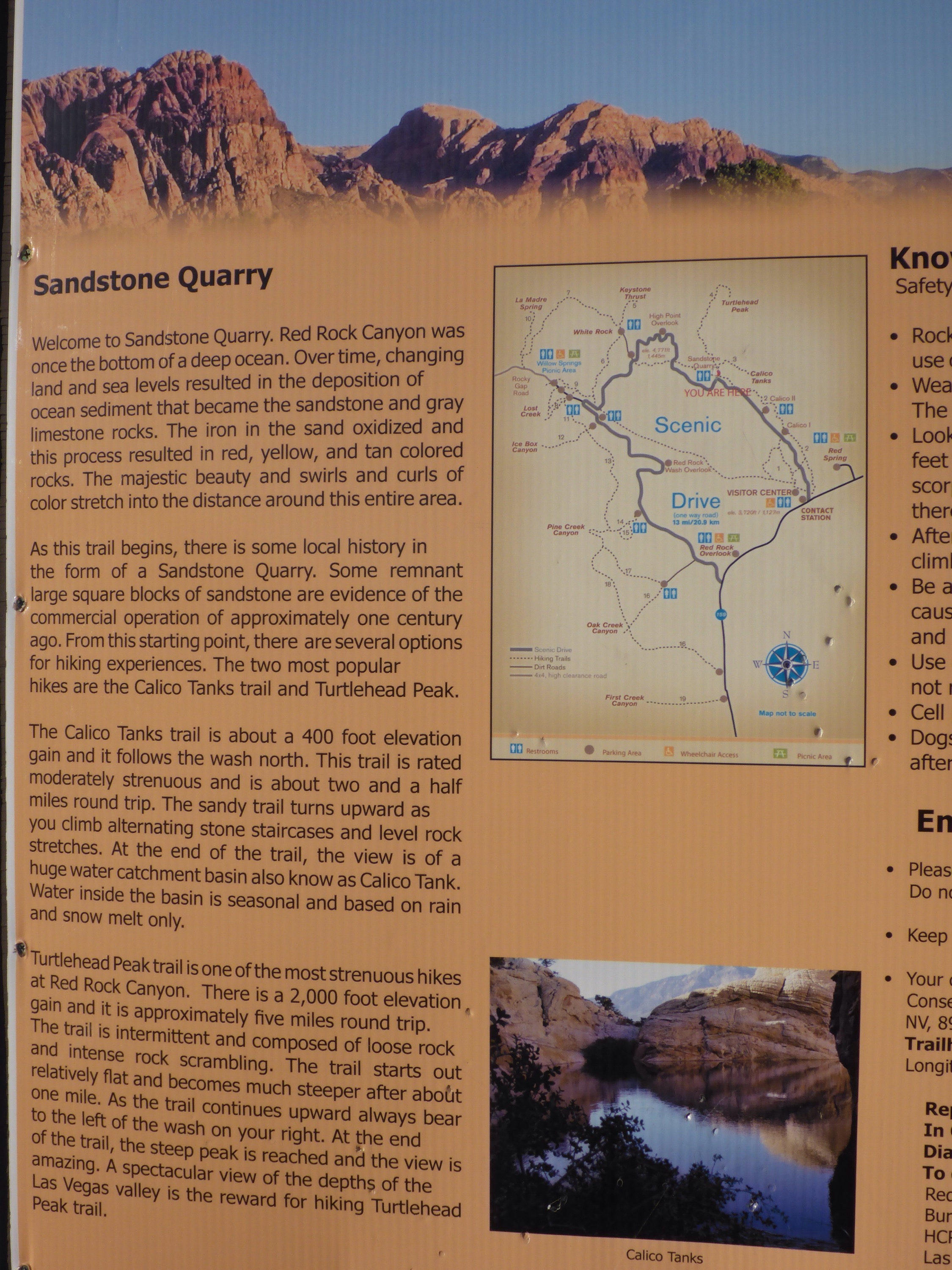
From the very top of the Calico Tanks Trail in the Red Rock Canyon National Conservation Area you will enjoy a most awesome overlook with spectacular views of Las Vegas. If you have the time and energy, load up a backpack with a picnic and enjoy your time at the top of the peak.

The Calico Tanks Trail in the Red Rock Canyon National Conservation Area is a 2.5 mile trail full of beauty. The guide lists this as a trail with a “Moderate” rating, defined as “Uphill sections include up to 1,000 feet of elevation gain; single digit mileage; uneven terrain and some rock scrambling.” The rating board must be crazy, because at times I felt like a full fledged rock climber while working my way to the top. Don’t worry – the trip is worthy of every bit of “rock scrambling” that you must endure. 🙂
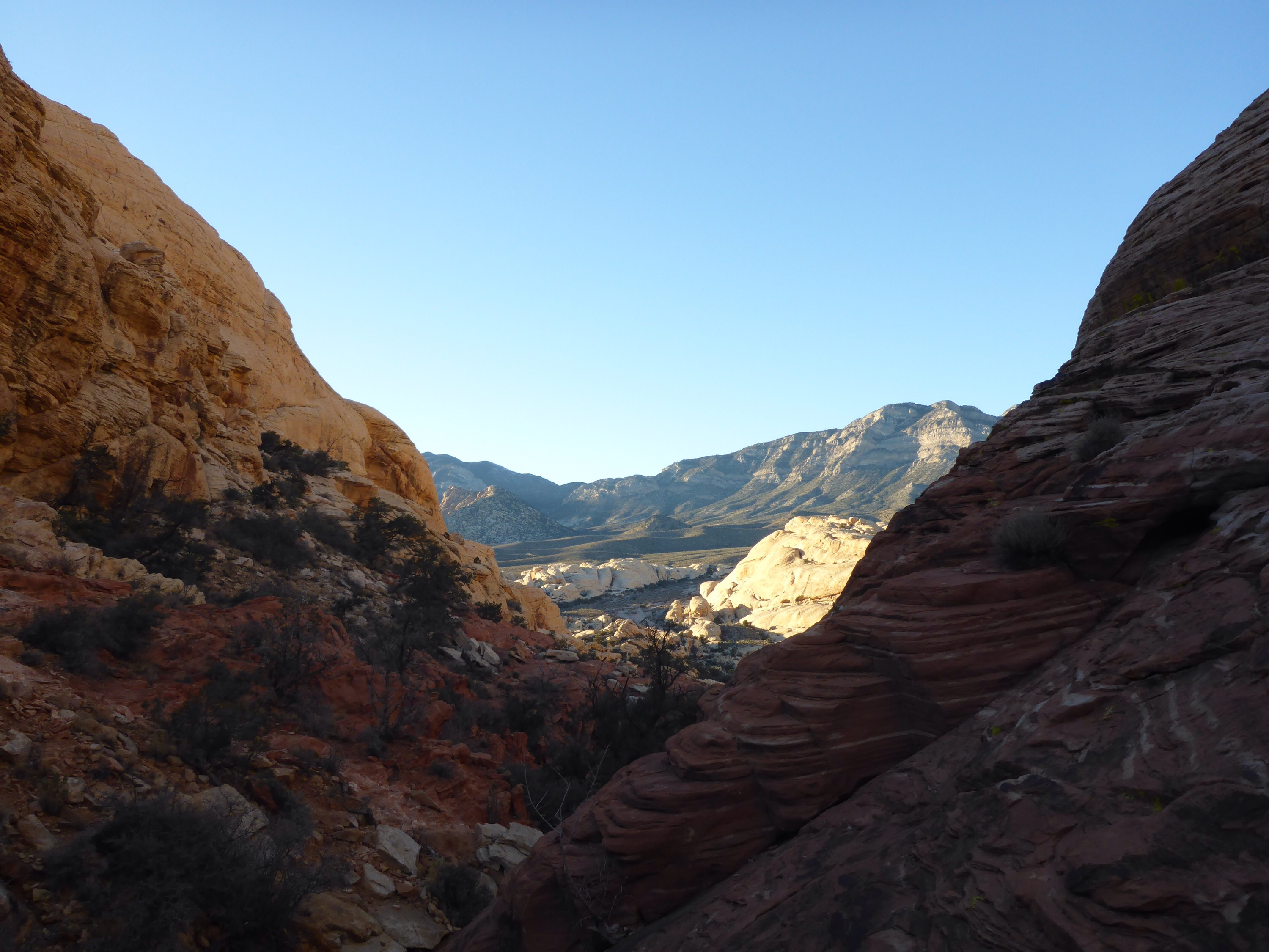

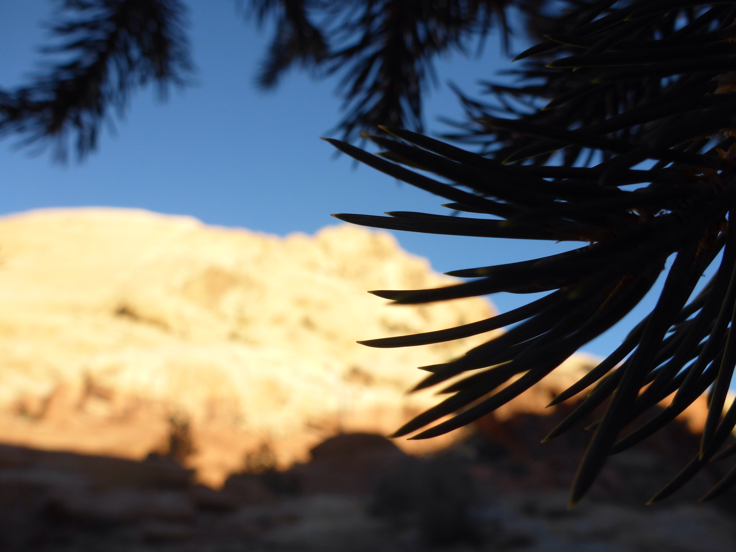
Today’s mission was the Calico Tanks Trail in the Red Rock Canyon National Conservation Area. Red Rock Canyon has a 13-mile scenic drive that is peppered with wonderful photo stops and hiking opportunities. It is only about a 25 minute drive from the Las Vegas Strip. I had heard that the view from the end of the Calico Tanks Trail was super, so I decided to focus my afternoon and early evening on this special hike.


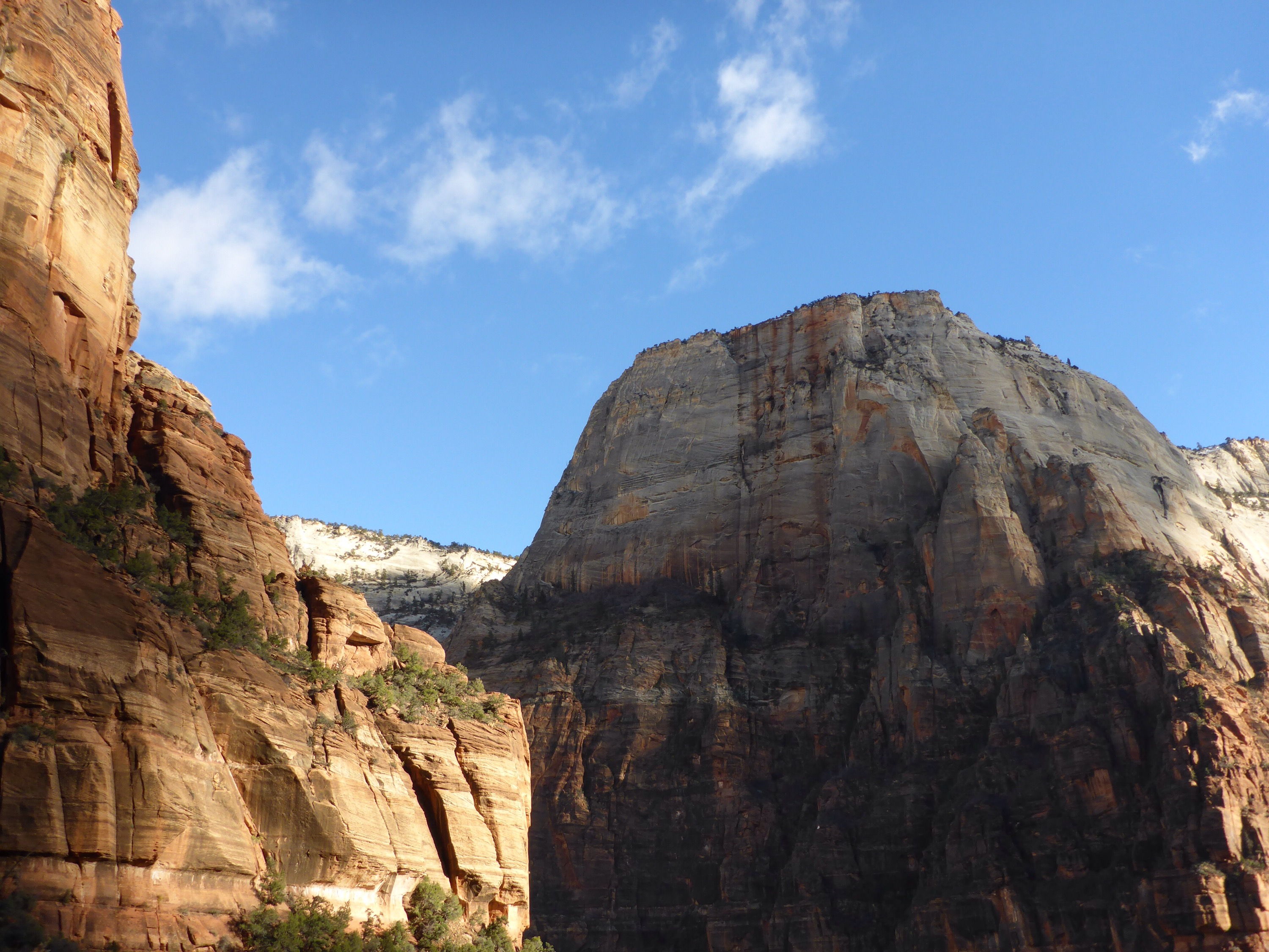
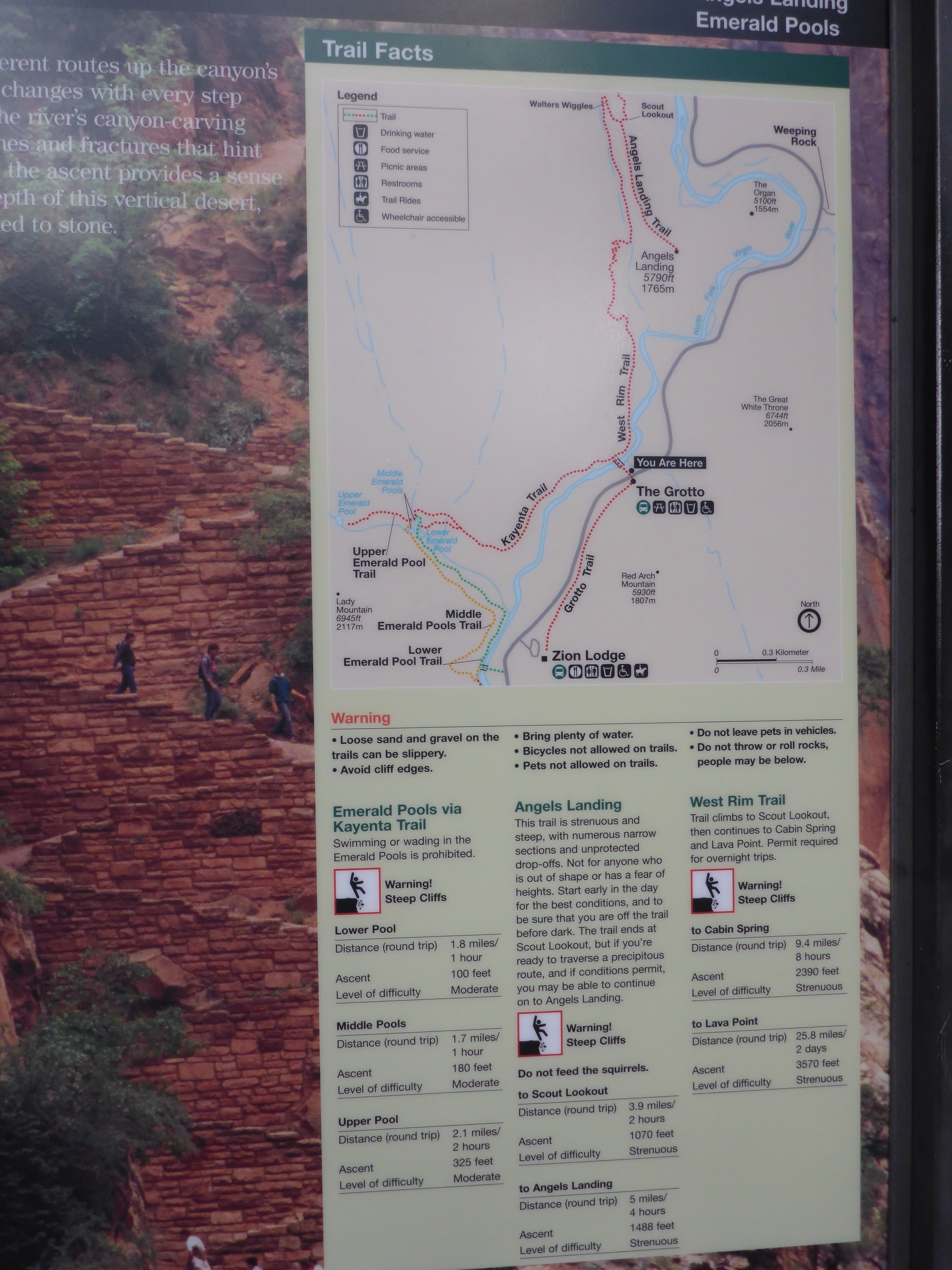
Part of the West Rim Trail runs along the Virgin River. This is the river (The North Fork) that runs through Zion Canyon and creates a lovely background noise of running water over rocks. At a few points, the trail provides river access so you can get next to or in the river for some fun.
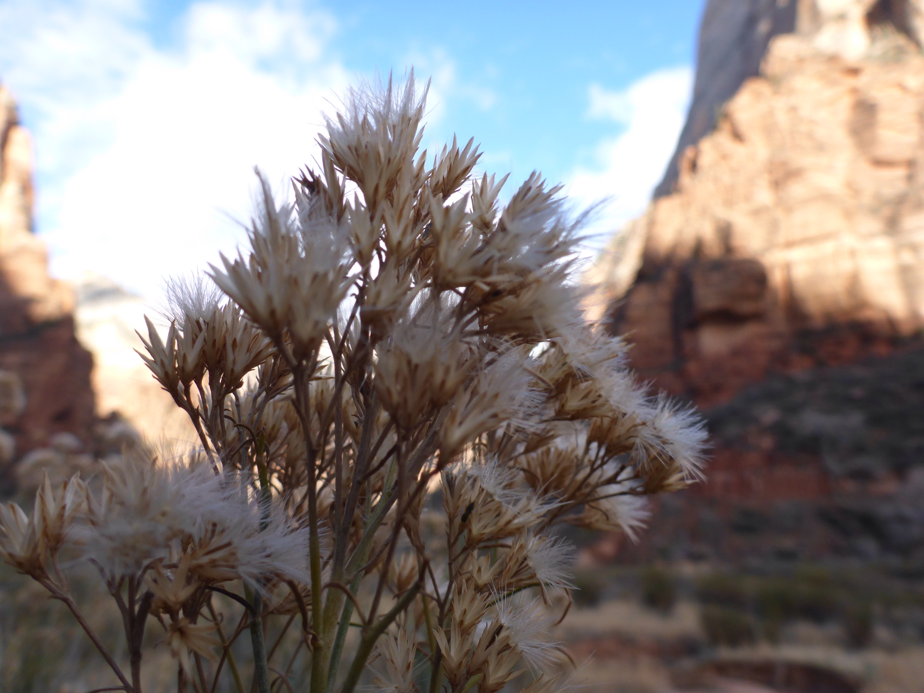
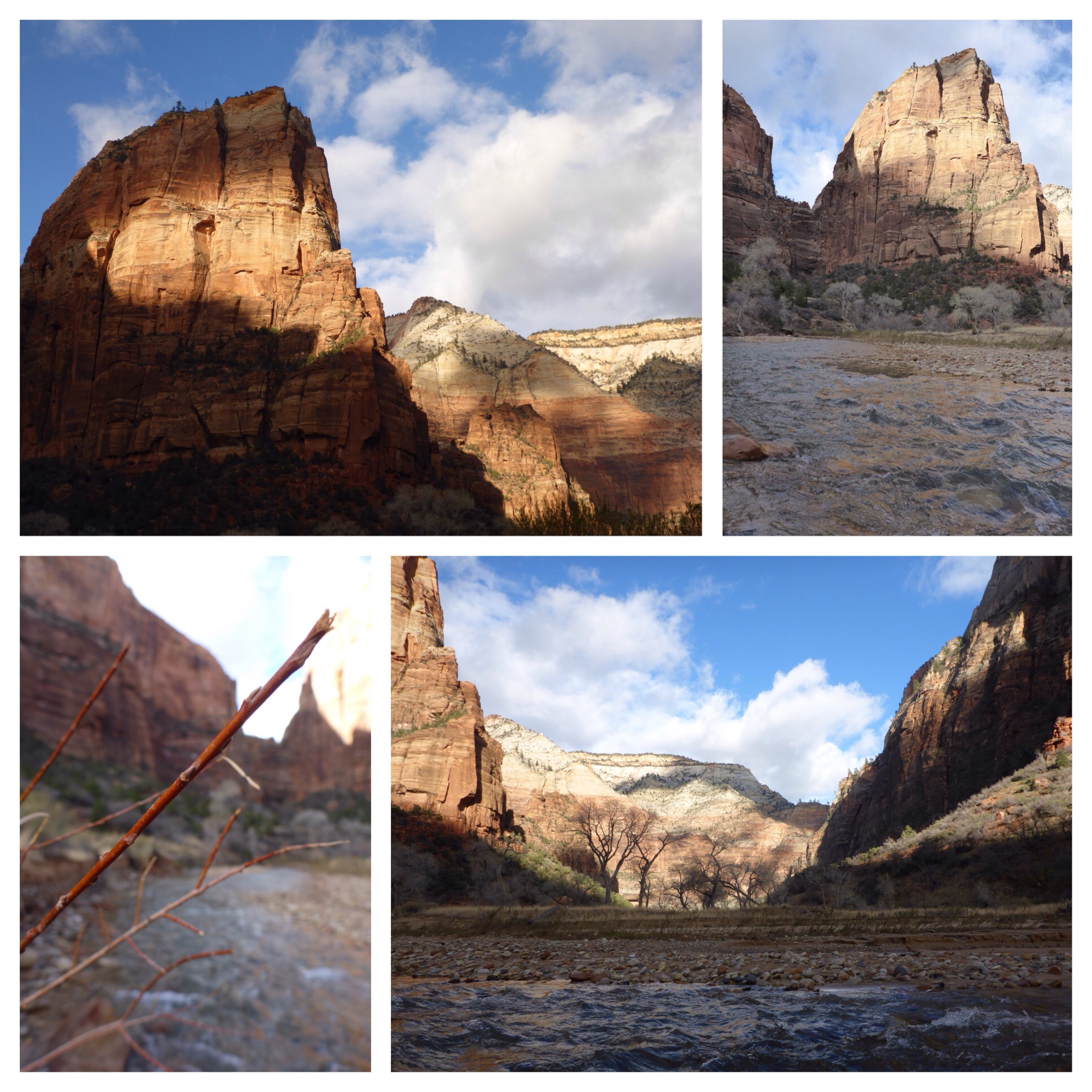

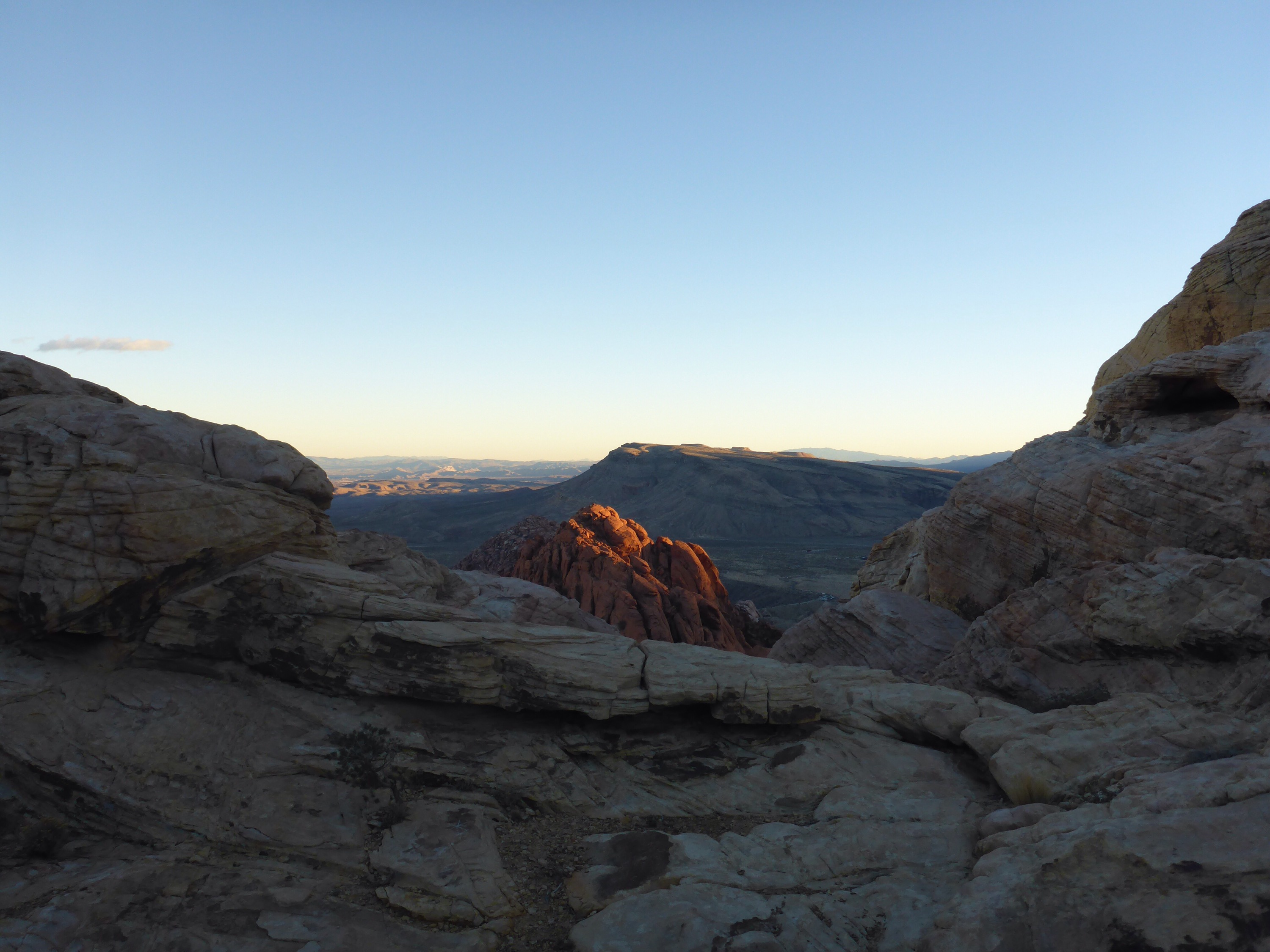
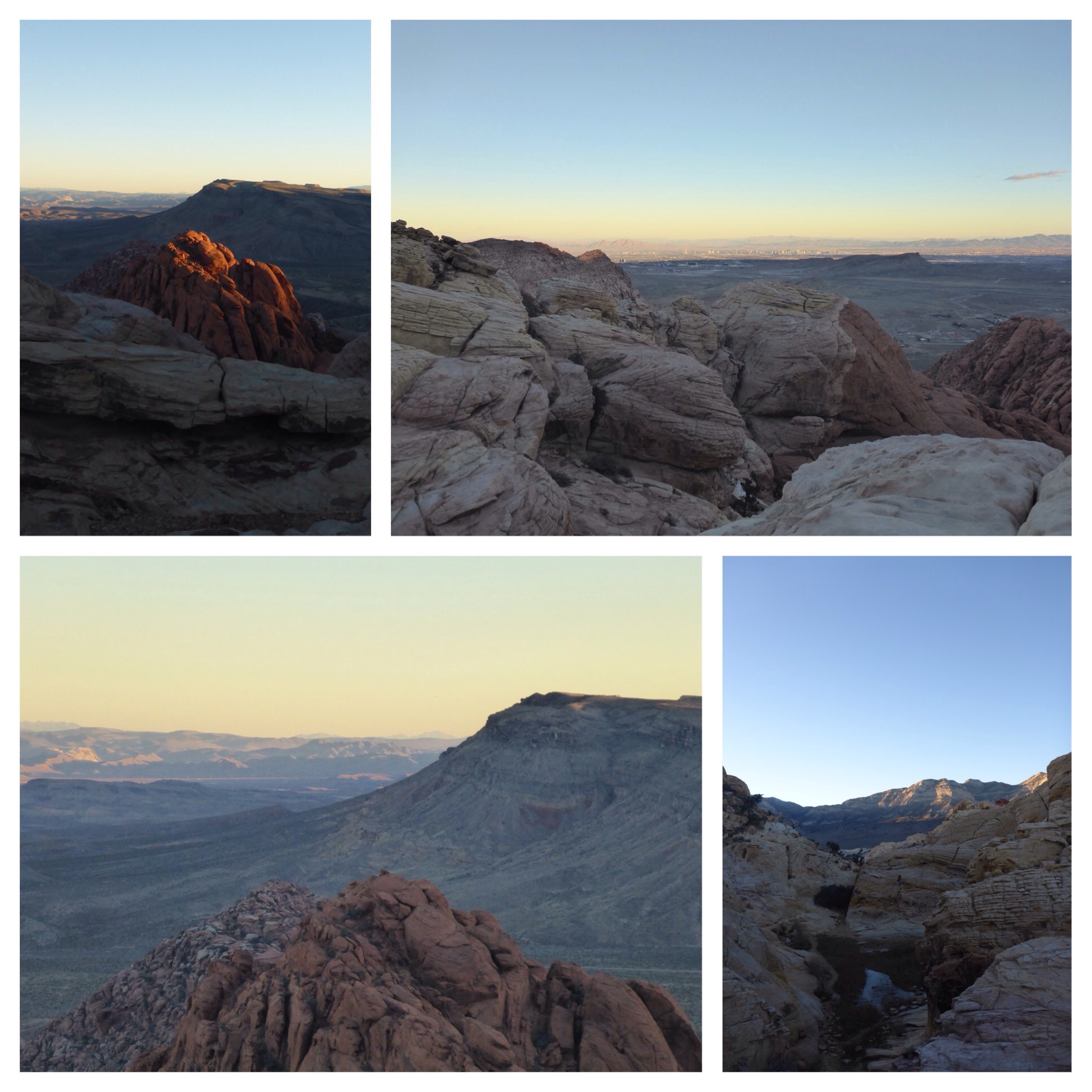
These photos will give you an idea of how beautiful this trail is. It made for a most awesome day!
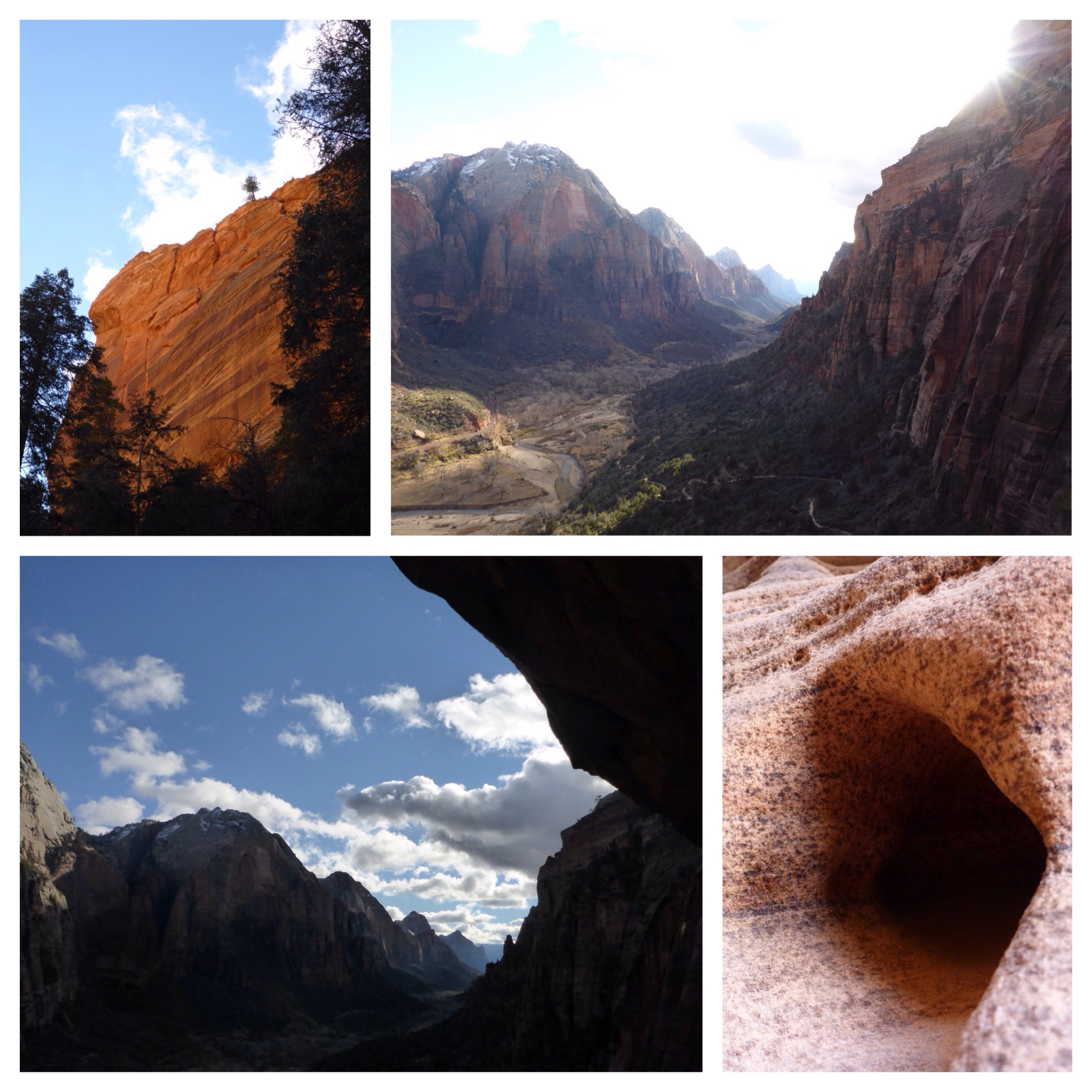
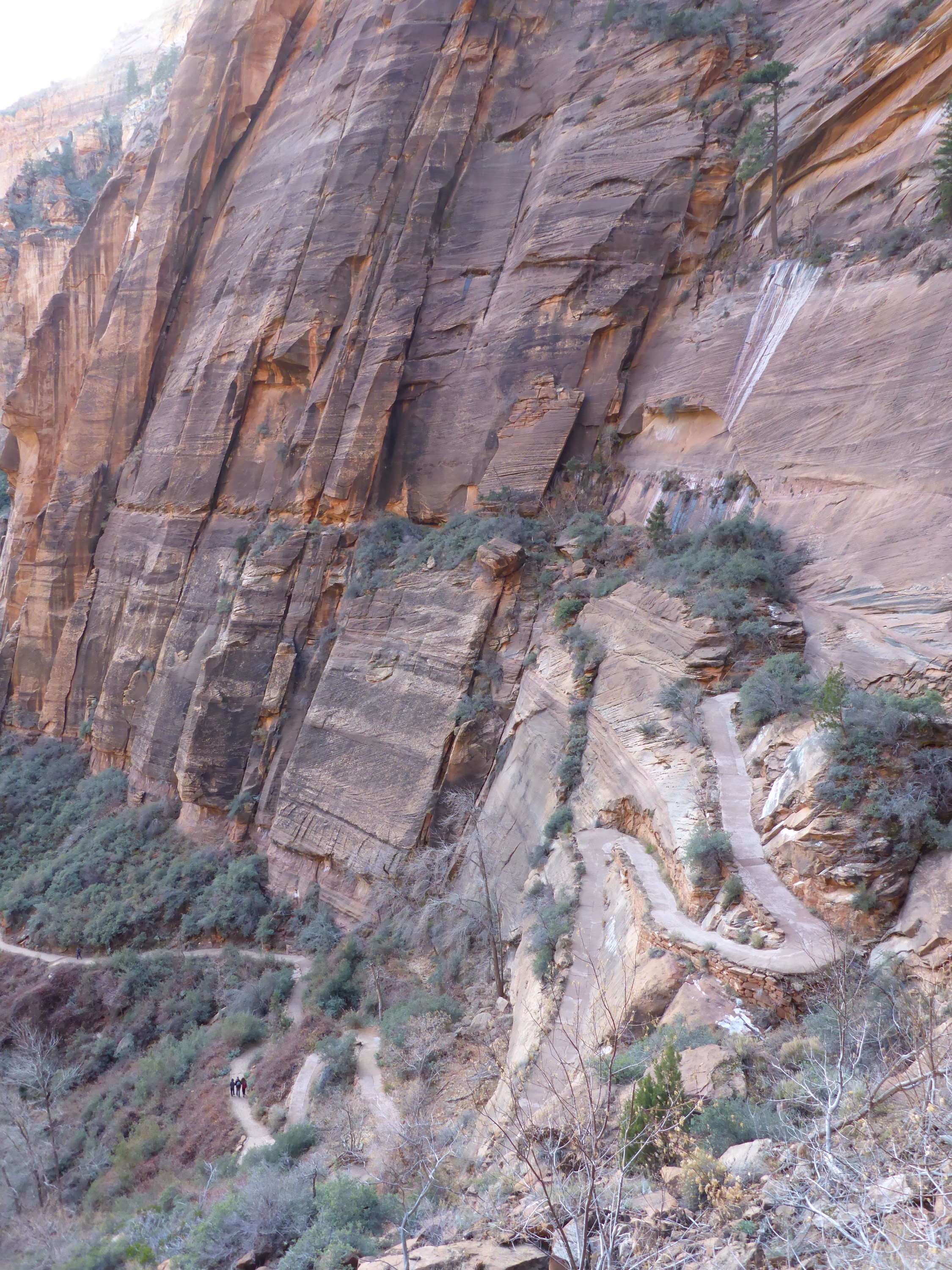
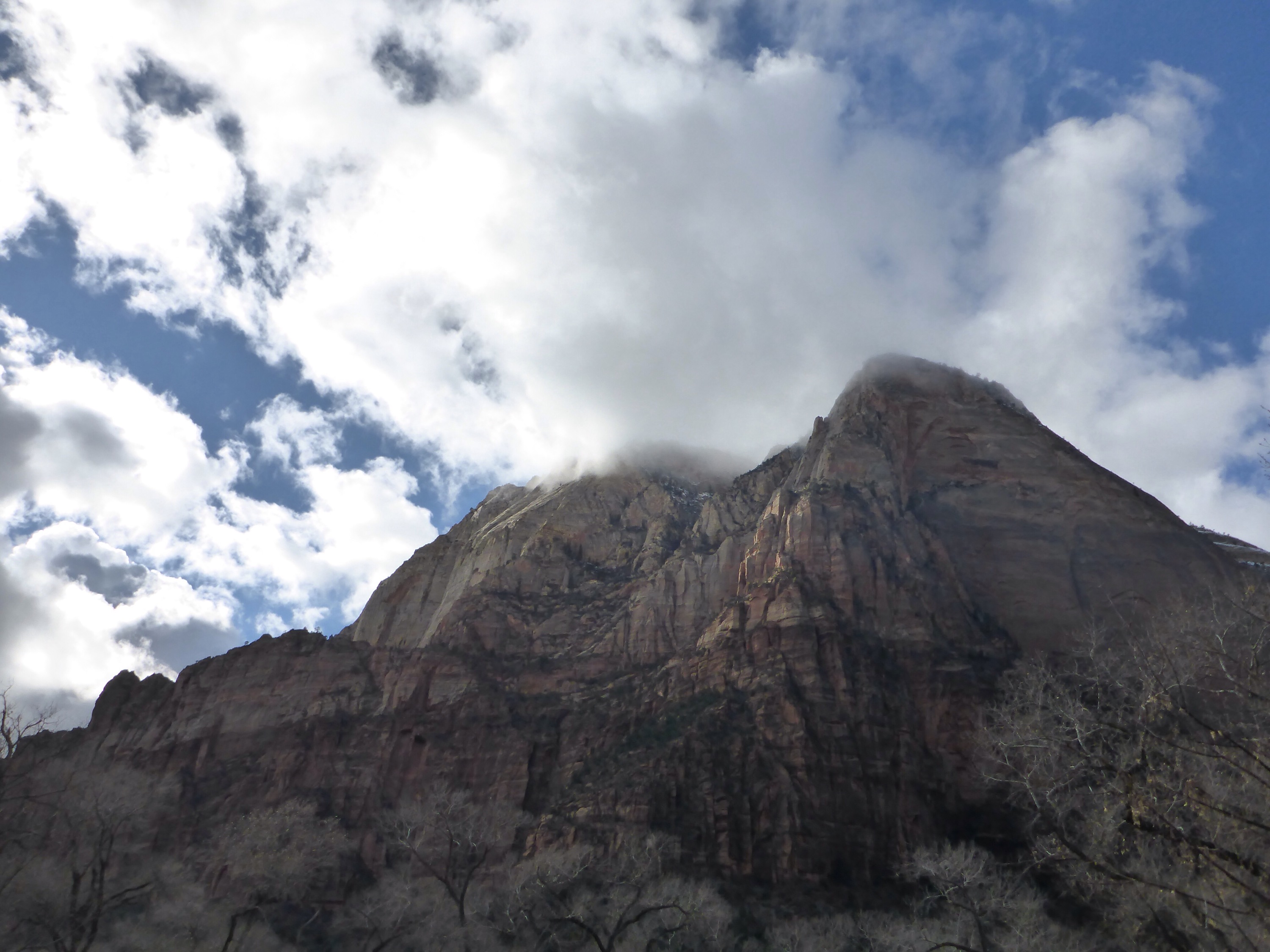
Today’s mission – get as far up West Rim Trail as possible. As you can tell from the pictures, this is a challenging trail, full of switchbacks. It is like a super stair climber at the gym. I would have liked to go farther, but my daylight was limited and I needed to save some energy for the drive back to Las Vegas. If you hike this trail, you will be rewarded with some awesome views of the Park.


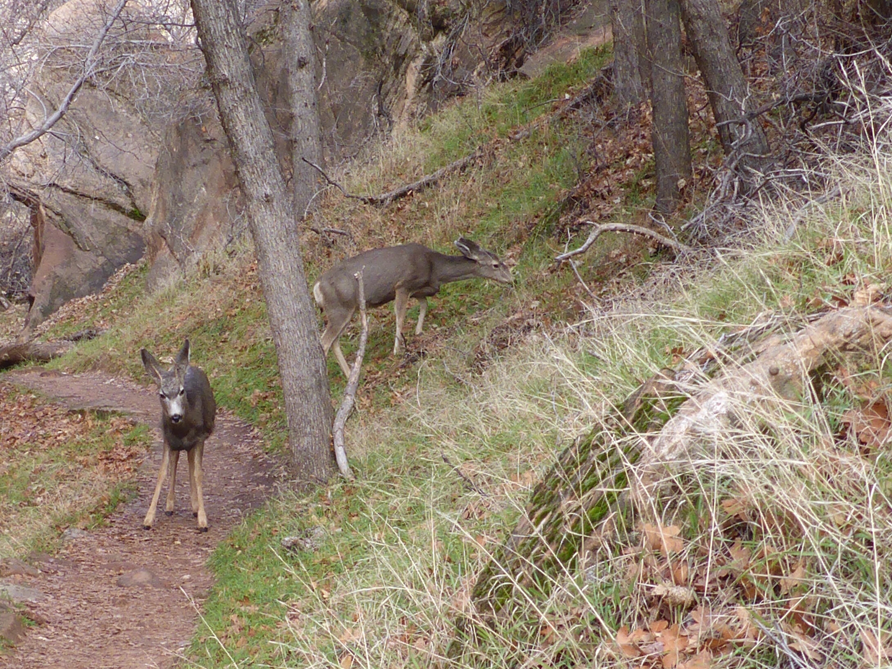
I was hiking the Grotto Trail, starting from the Zion Lodge, and walked upon several deer on the trail. The employees of the Lodge say that they like to hang out nearby. The deer mostly ignored me and went ahead with their lunch of green grass.


OK Internet Friends, it is now a rule that every time you visit Las Vegas, you must rent a car for a day trip to Zion National Park. It is only about a two and a half hour drive and the desert drive in Nevada is very scenic. Once you get to Zion National Park, pictures and words cannot describe the beauty of this place.