Hill of Life – Trail Map

2015/01/img_3450.jpg

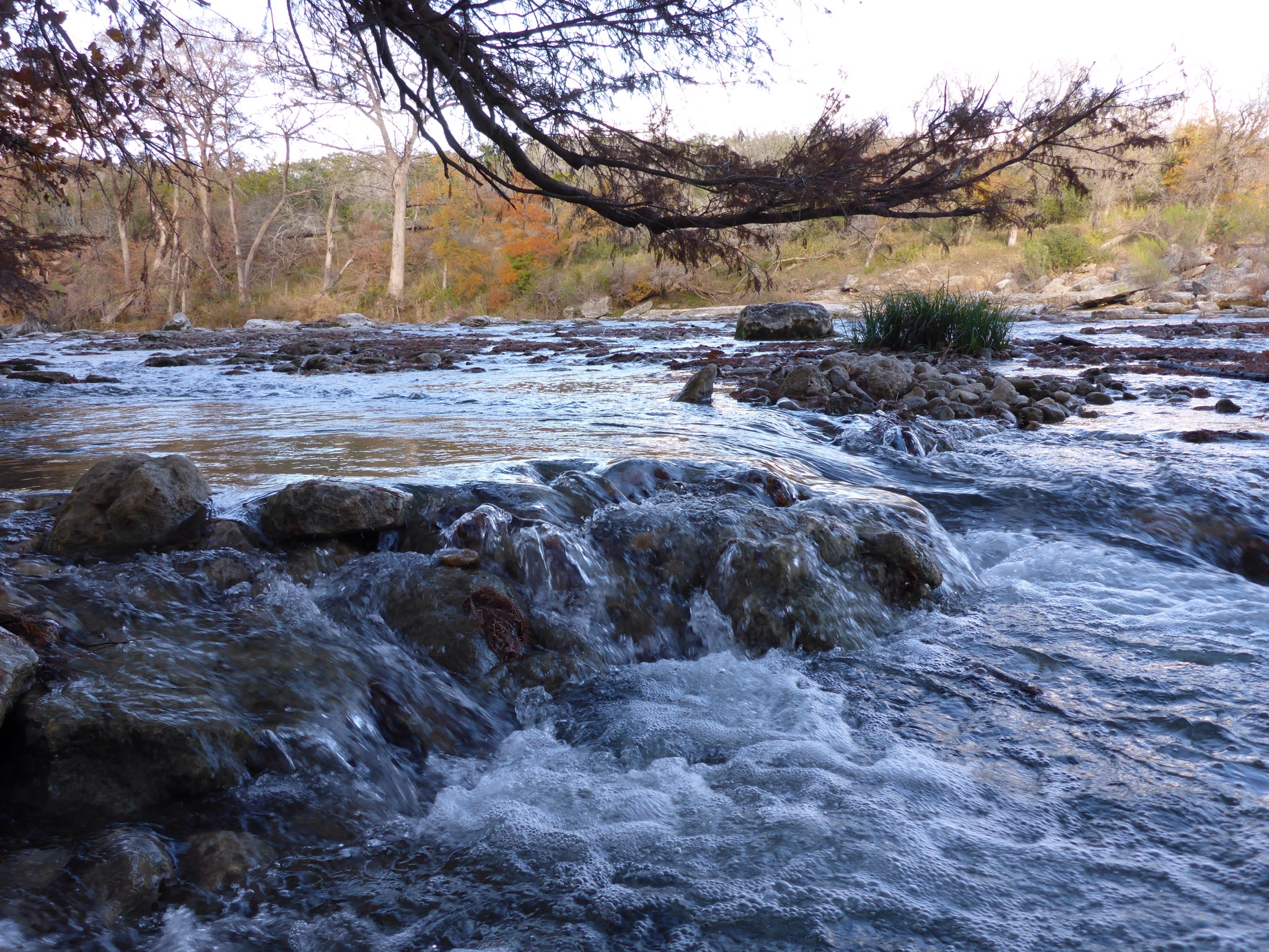
After work today, I drove over to the Barton Creek Greenbelt to hike the Hill of Life. Conditions were less than grand, with the temperature at 37 degrees and an overcast sky with intermittent sprinkles. The good news was that there were only a few people on the trail. The Hill of Life is a great workout – I climbed 551 feet on the trail according to the GPS on my phone. Despite the cold weather, I had to shed my jacket before I got back to the top of the Hill. It was awesome!

2015/01/img_3449.jpg

2015/01/img_3455.jpg

Enchanted Rock – Trail Map

/home/wpcom/public_html/wp-content/blogs.dir/02d/73078582/files/2015/01/img_3387.jpg

Today’s mission was to hike some trails and climb up to the top of Enchanted Rock. My plan was to take the Loop Trail to the Scenic Overlook. From there, I would backtrack a little and hike over to the Echo Canyon Trail. Then I would meet up with the Summit Trail and roam around on top of the Rock until the sun went down. It was an awesome day for this hike!

/home/wpcom/public_html/wp-content/blogs.dir/02d/73078582/files/2015/01/img_3386.jpg

/home/wpcom/public_html/wp-content/blogs.dir/02d/73078582/files/2015/01/img_3388.jpg

Red Rock Canyon – Calico Tanks Trail Map

/home/wpcom/public_html/wp-content/blogs.dir/02d/73078582/files/2014/12/img_3262.jpg

Today’s mission was the Calico Tanks Trail in the Red Rock Canyon National Conservation Area. Red Rock Canyon has a 13-mile scenic drive that is peppered with wonderful photo stops and hiking opportunities. It is only about a 25 minute drive from the Las Vegas Strip. I had heard that the view from the end of the Calico Tanks Trail was super, so I decided to focus my afternoon and early evening on this special hike.

/home/wpcom/public_html/wp-content/blogs.dir/02d/73078582/files/2014/12/img_3263.jpg

/home/wpcom/public_html/wp-content/blogs.dir/02d/73078582/files/2014/12/img_3264.jpg

Zion National Park – West Rim Trail – Trail Map

/home/wpcom/public_html/wp-content/blogs.dir/02d/73078582/files/2014/12/img_3146.jpg

Today’s mission – get as far up West Rim Trail as possible. As you can tell from the pictures, this is a challenging trail, full of switchbacks. It is like a super stair climber at the gym. I would have liked to go farther, but my daylight was limited and I needed to save some energy for the drive back to Las Vegas. If you hike this trail, you will be rewarded with some awesome views of the Park.

/home/wpcom/public_html/wp-content/blogs.dir/02d/73078582/files/2014/12/img_3143.jpg

/home/wpcom/public_html/wp-content/blogs.dir/02d/73078582/files/2014/12/img_3163.jpg

Doeskin Ranch – Trail Map

IMG_2636.JPG

Today’s mission was to hike the outside loop at Doeskin Ranch . This hike is located in the Balcones Canyonlands National Wildlife Refuge. It involves a short climb up a ridge and then be prepared for sunshine as there is not much tree cover for most of the trail. You will be rewarded with some beautiful Hill Country views!

IMG_2646.JPG