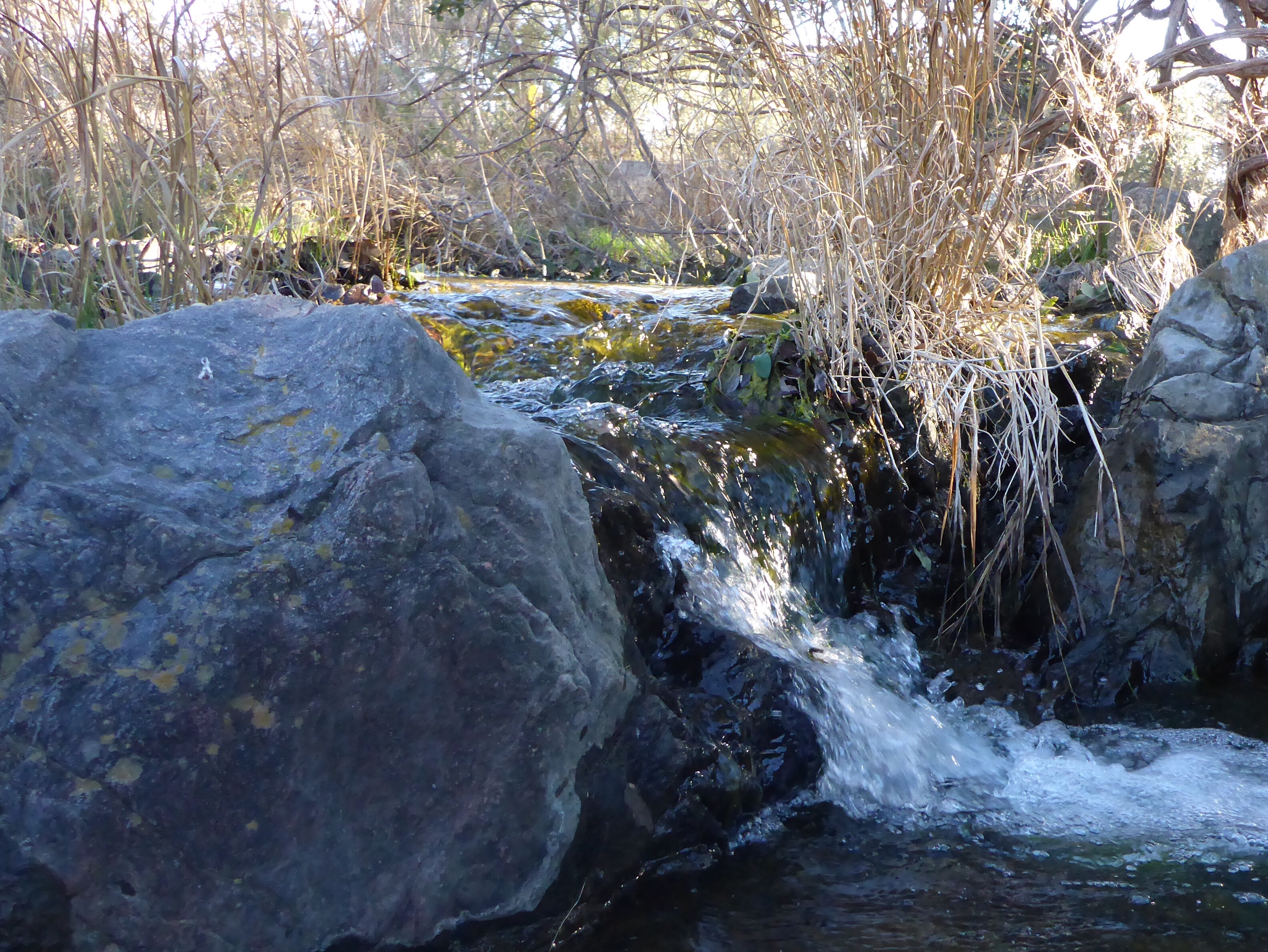
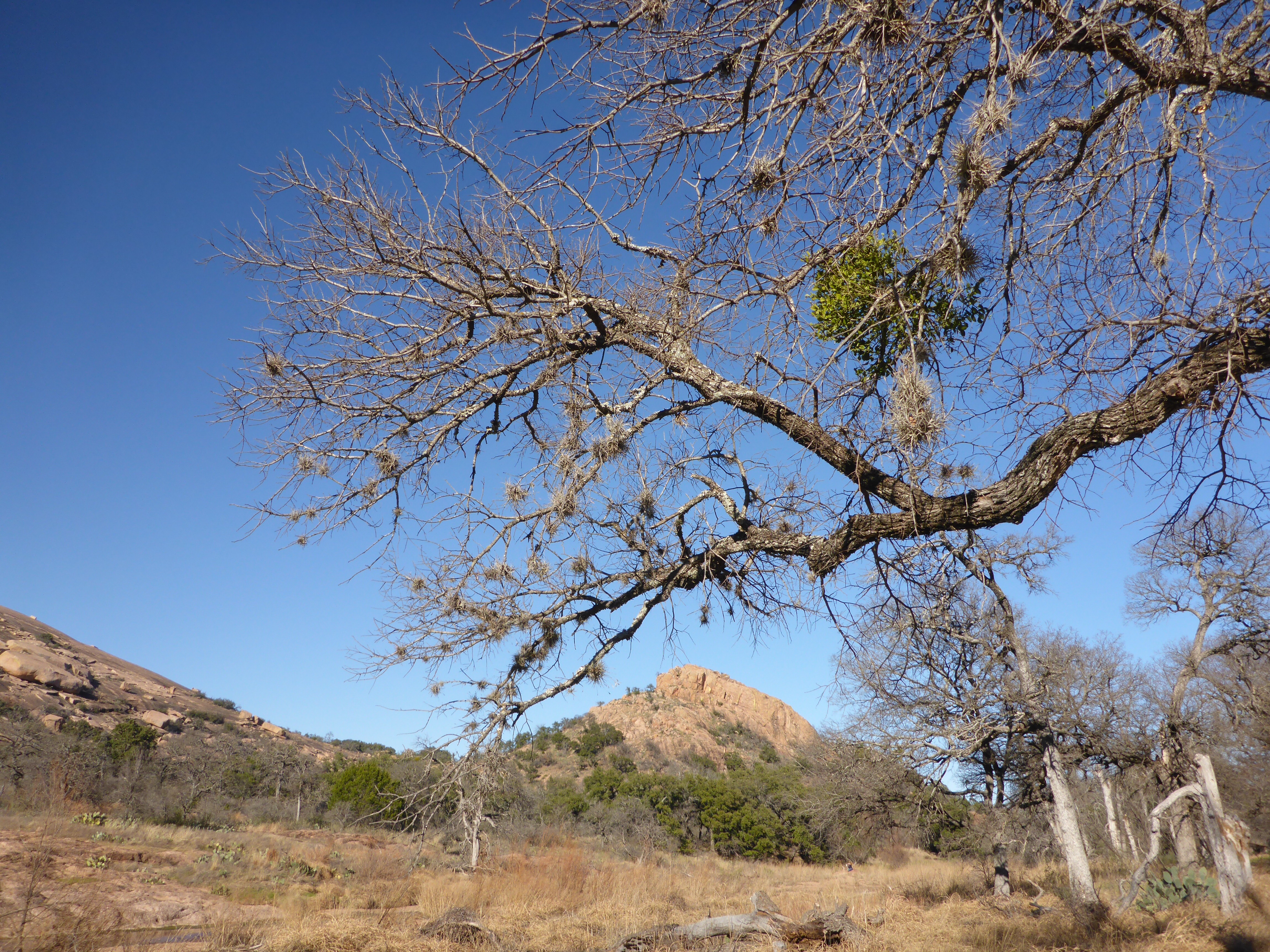
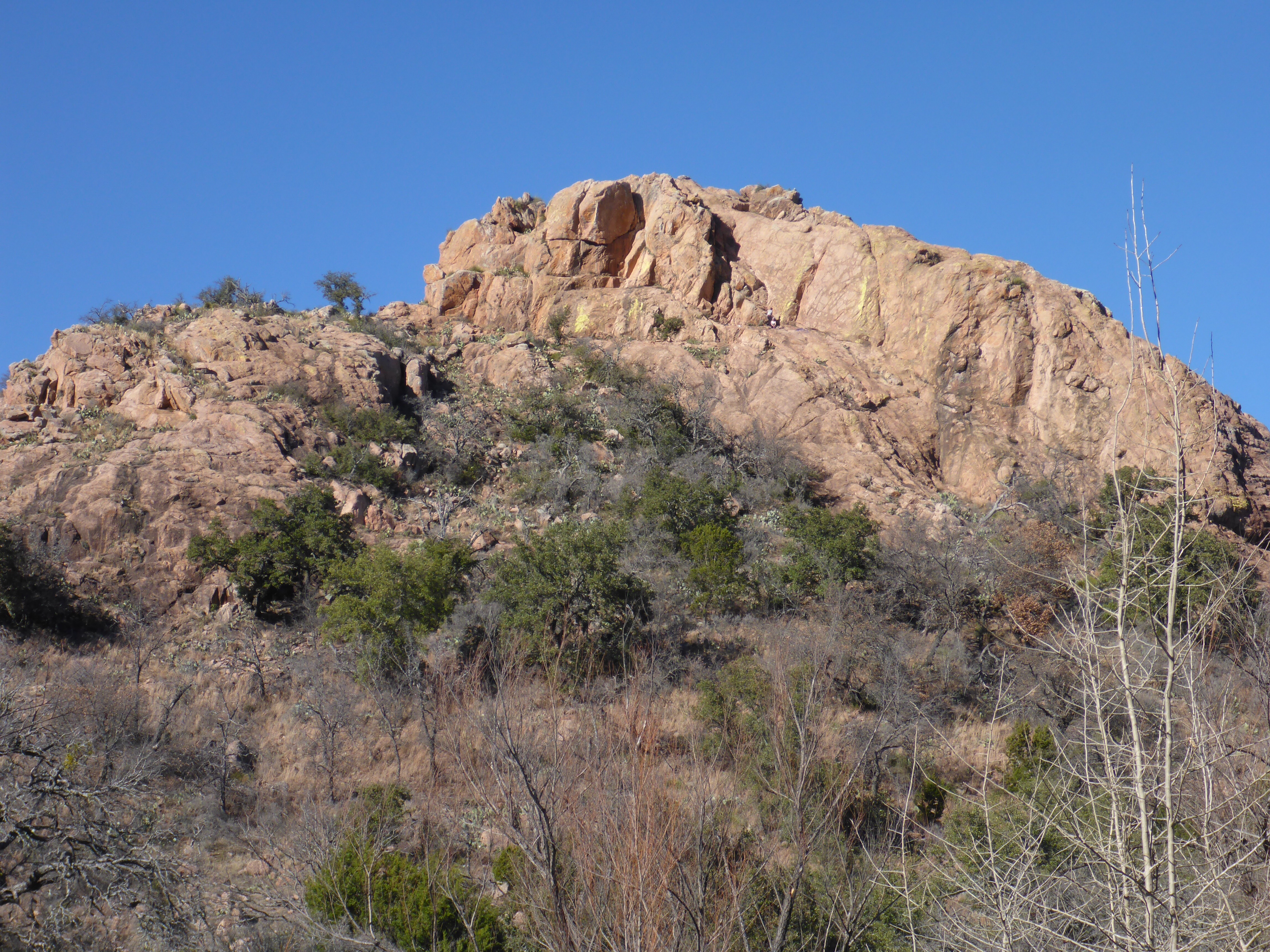
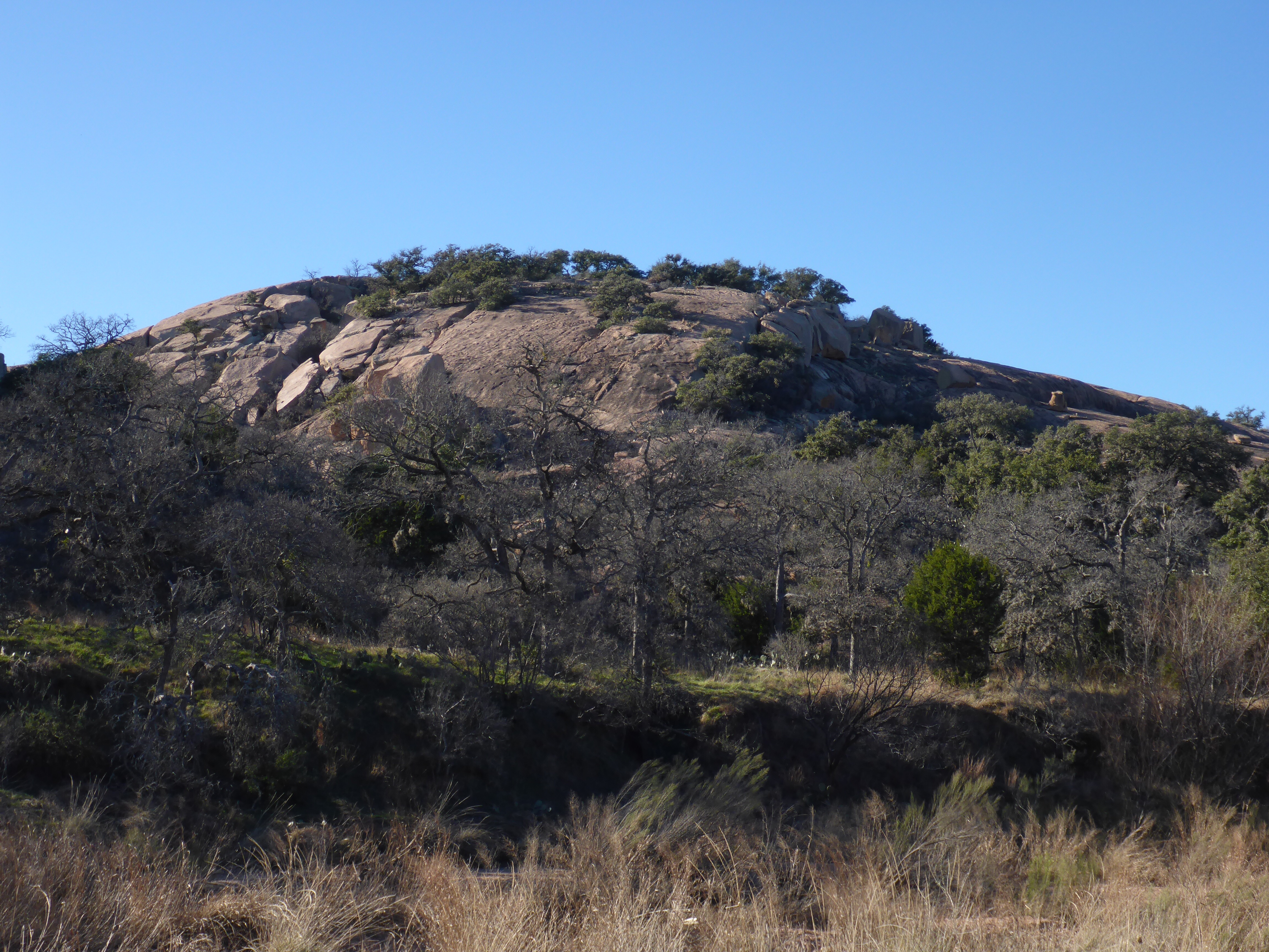
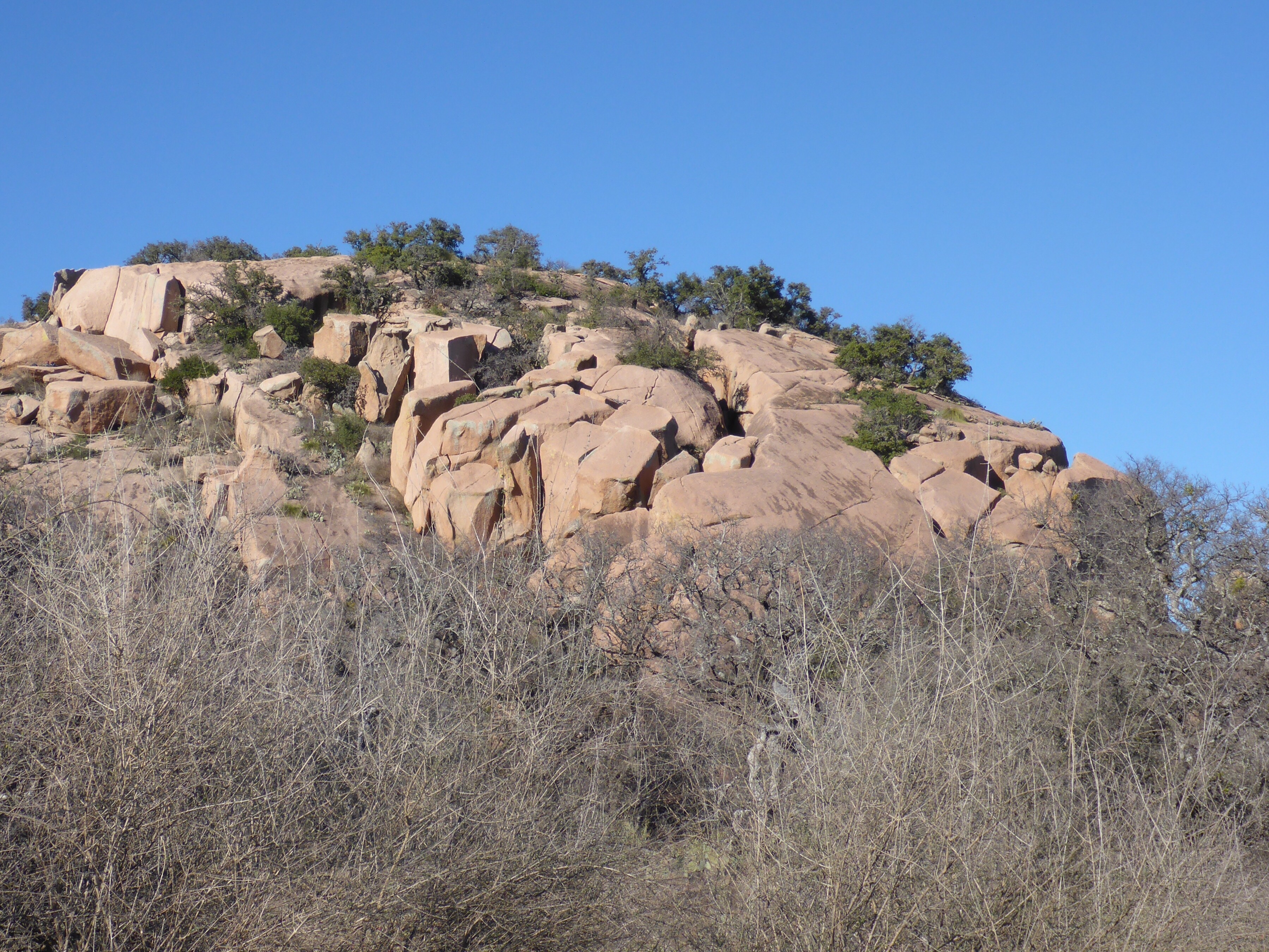
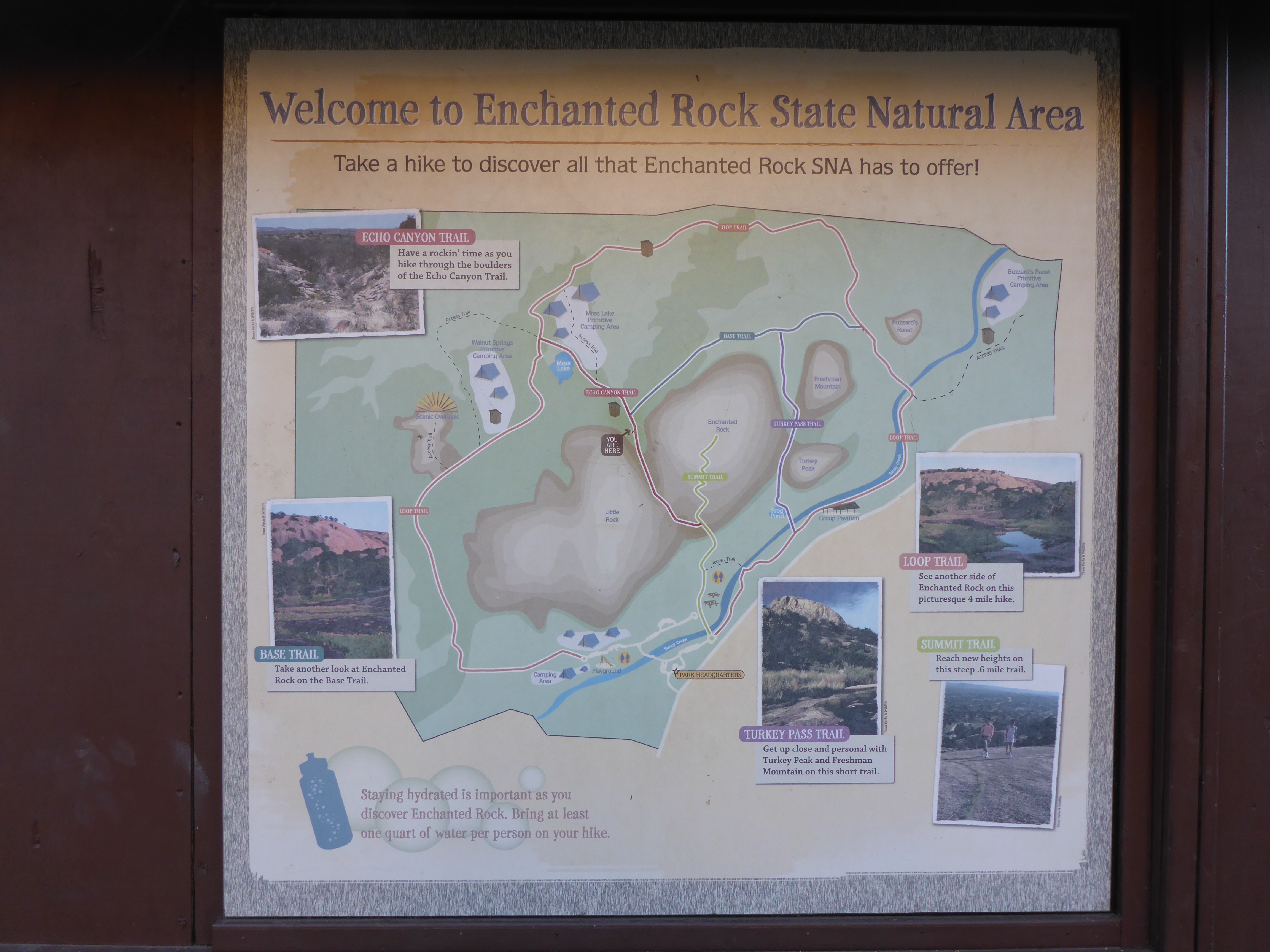
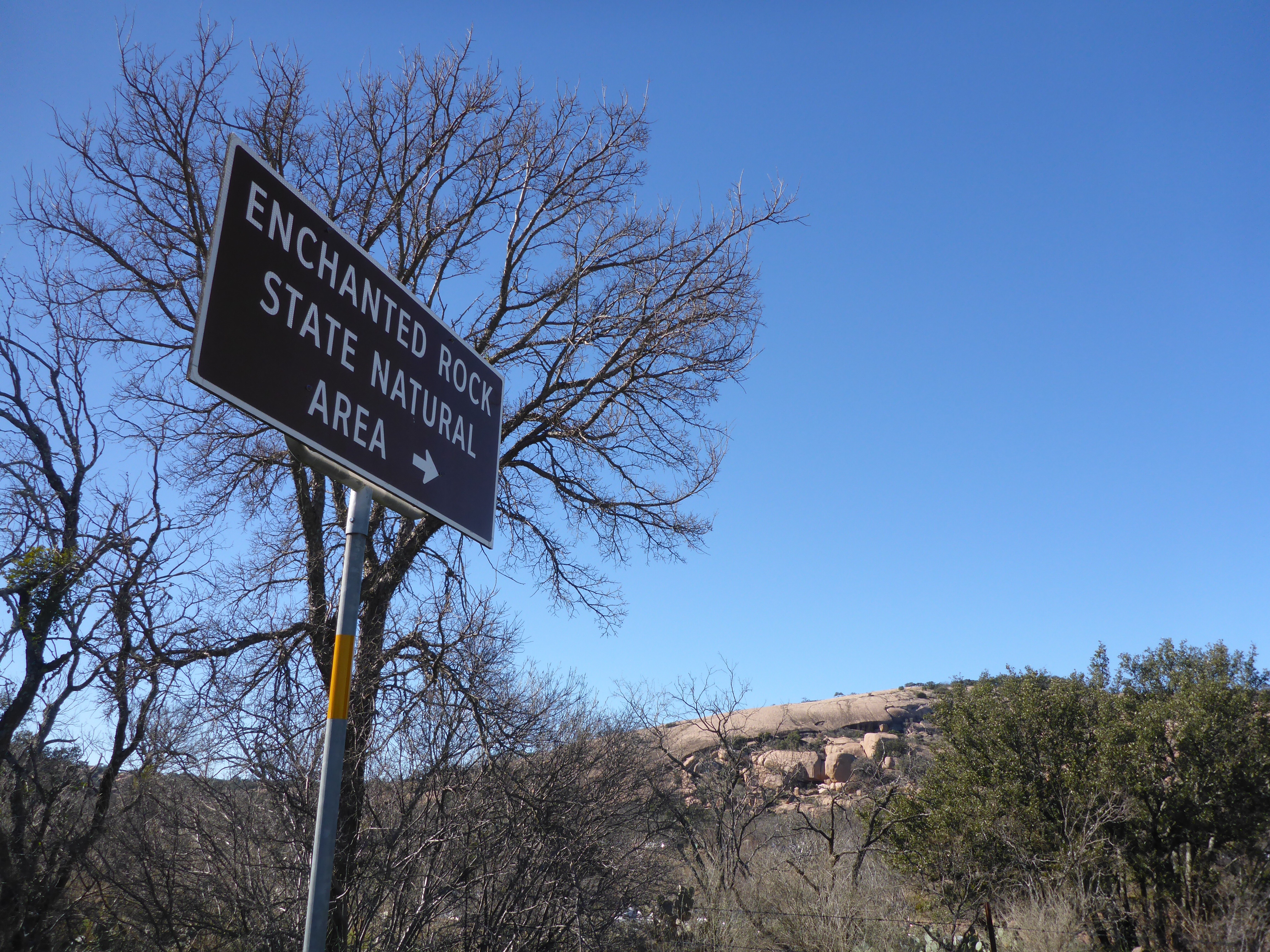
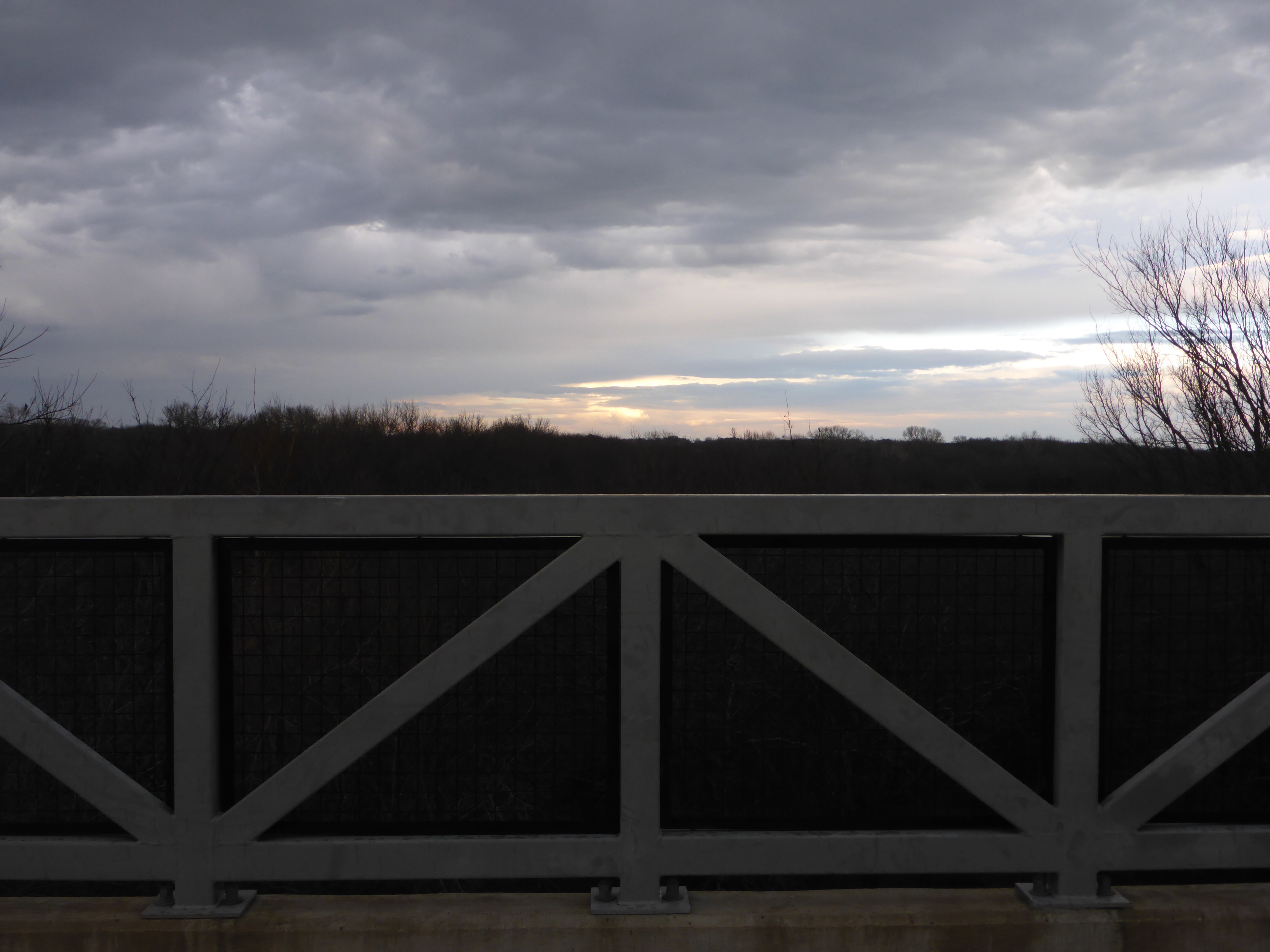
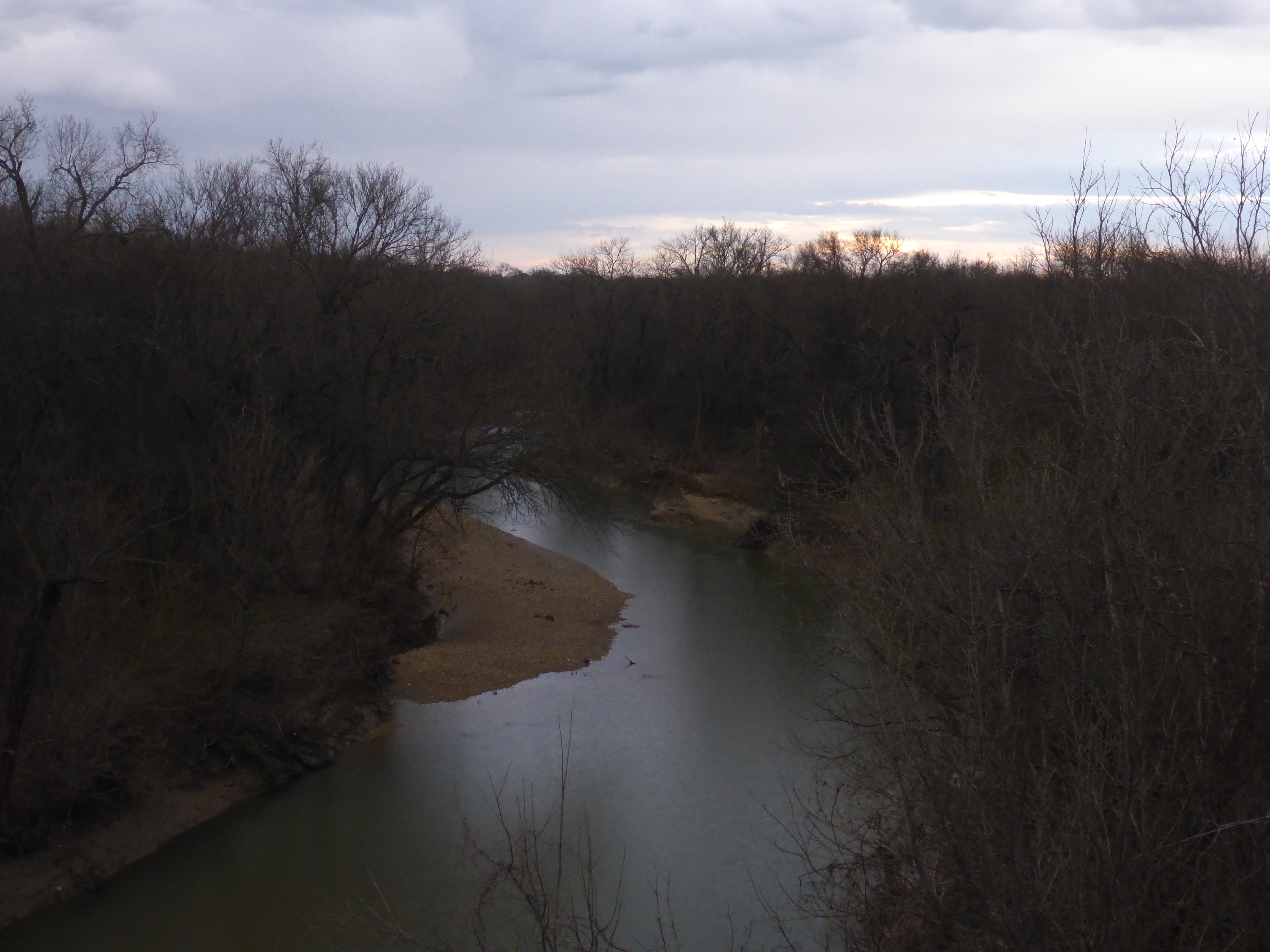
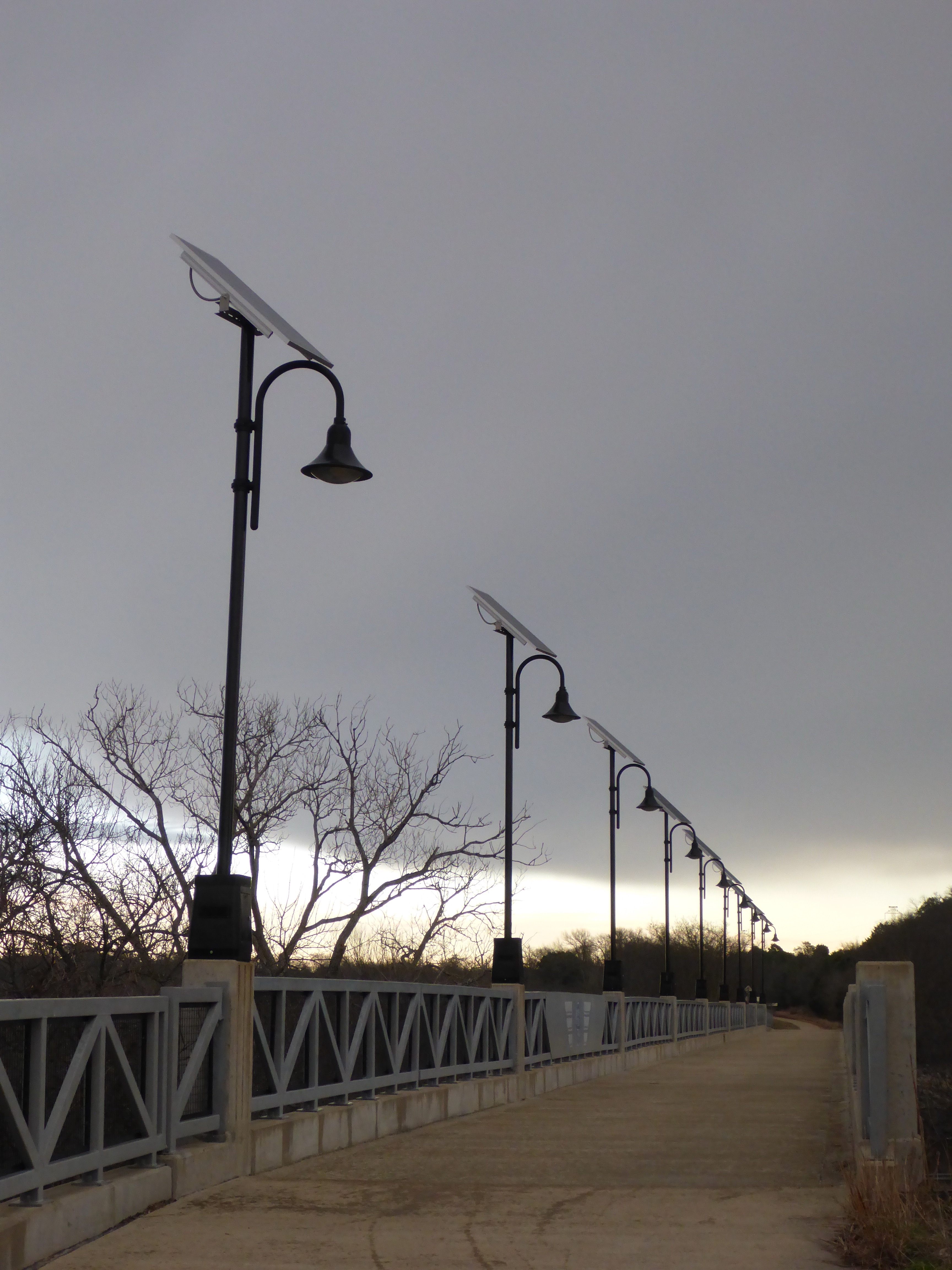
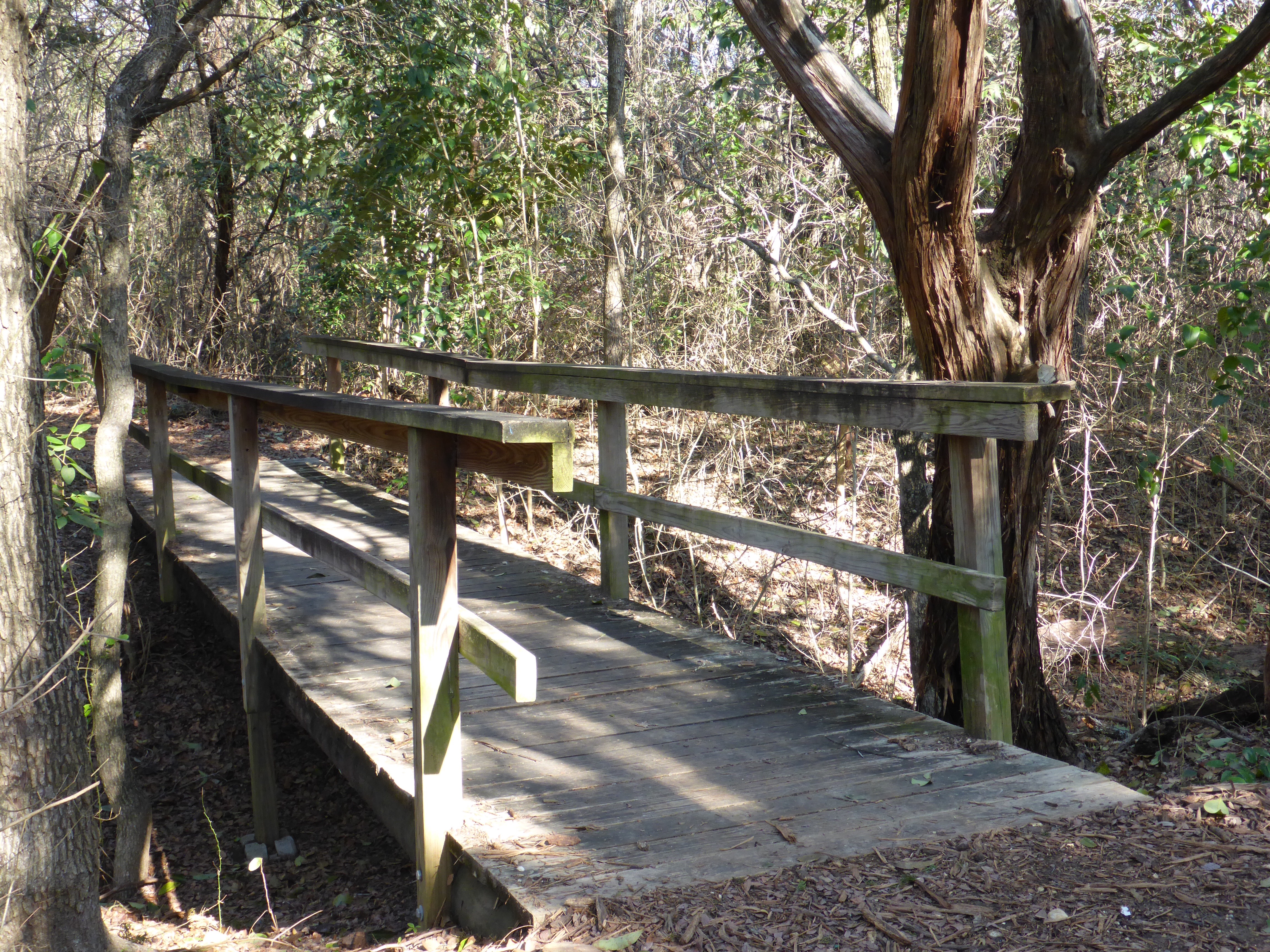
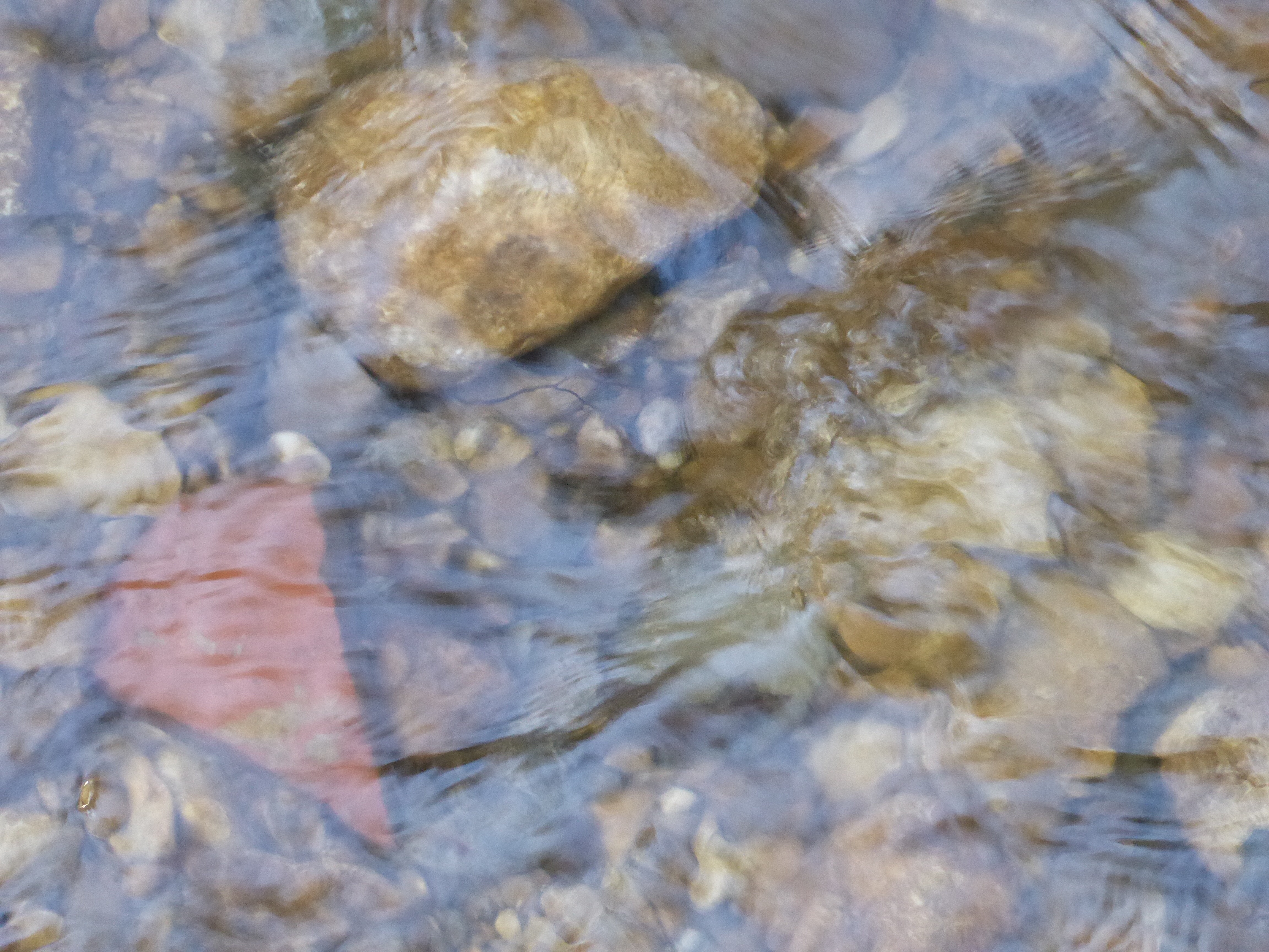
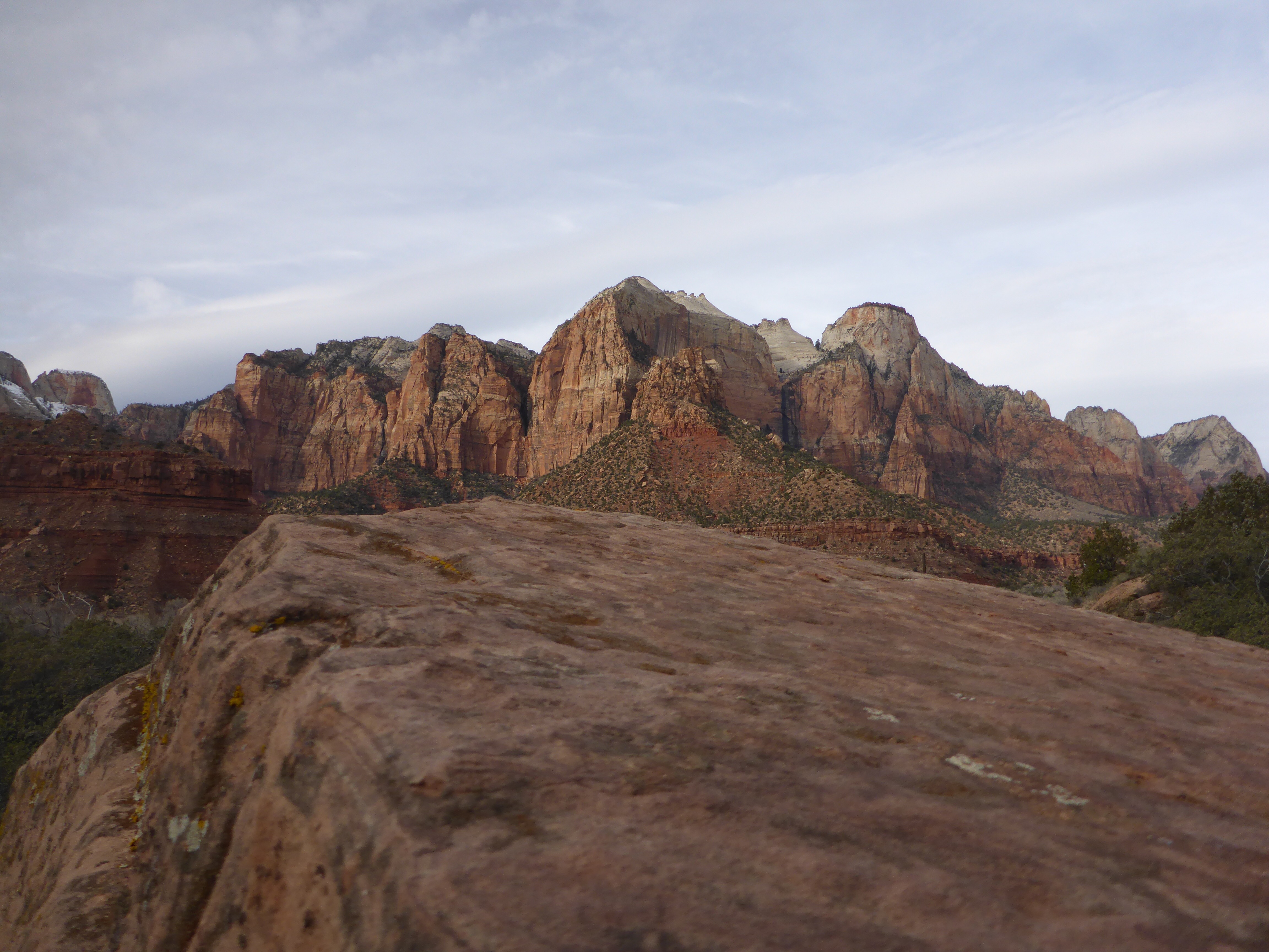
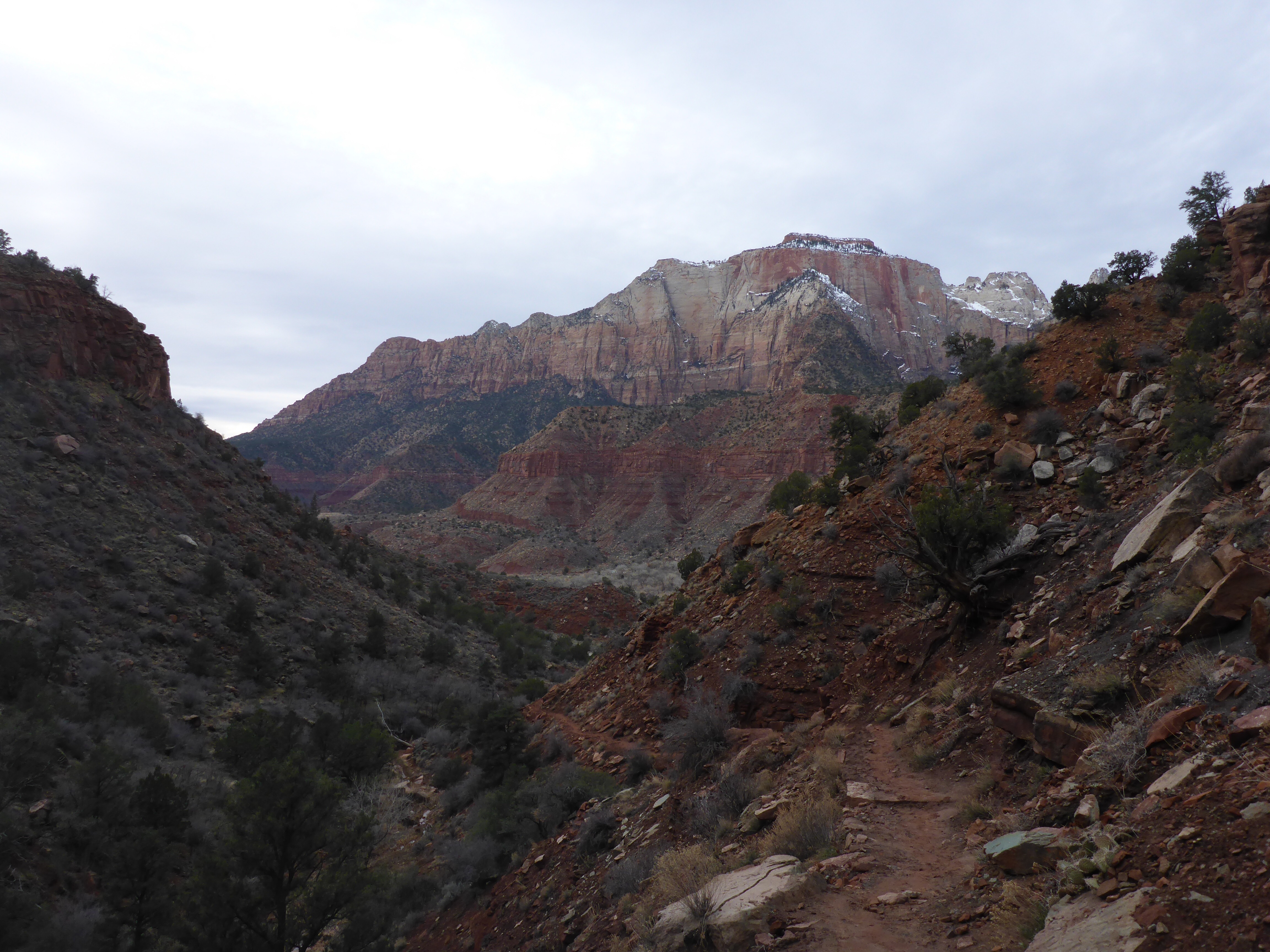
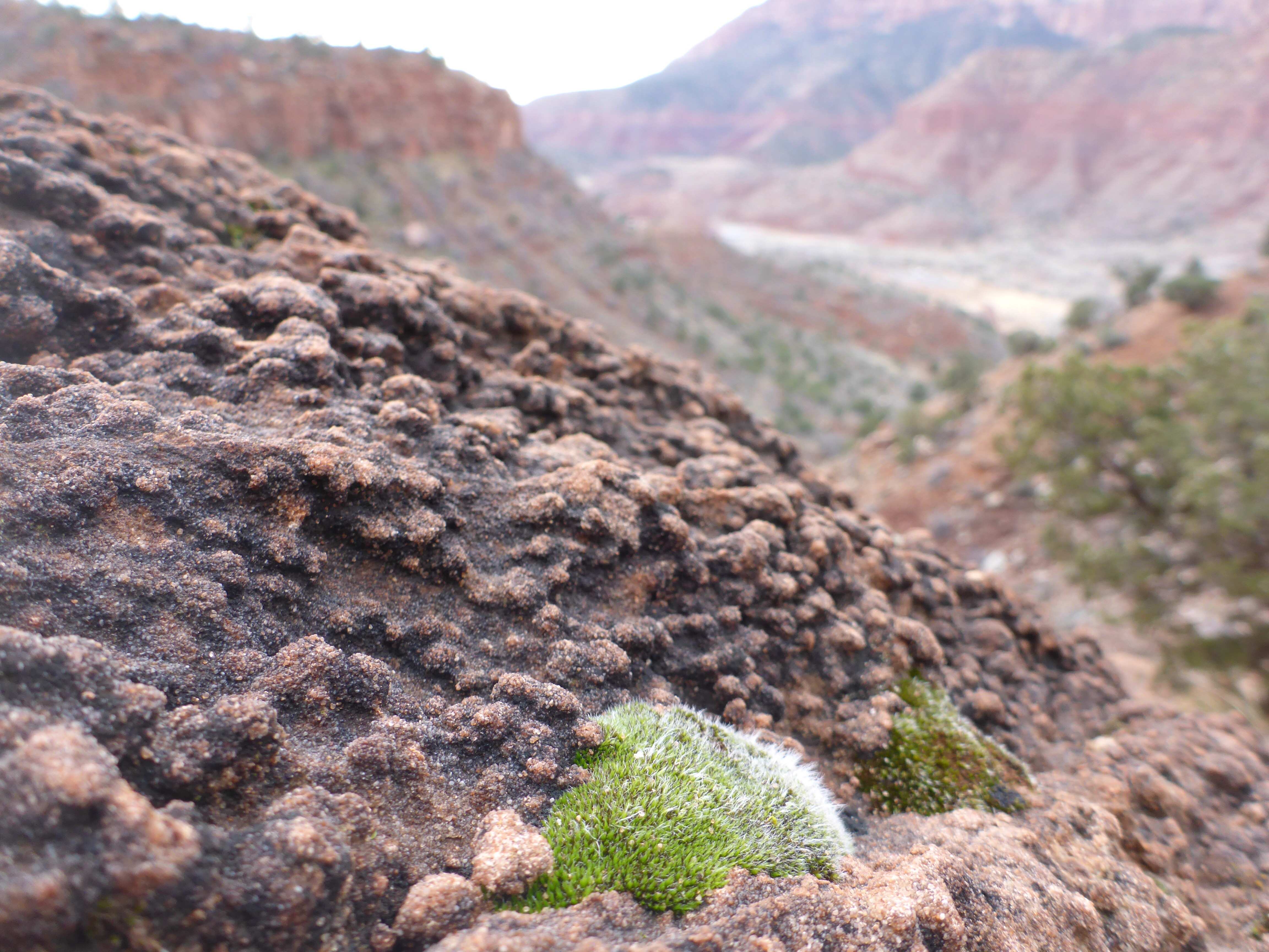
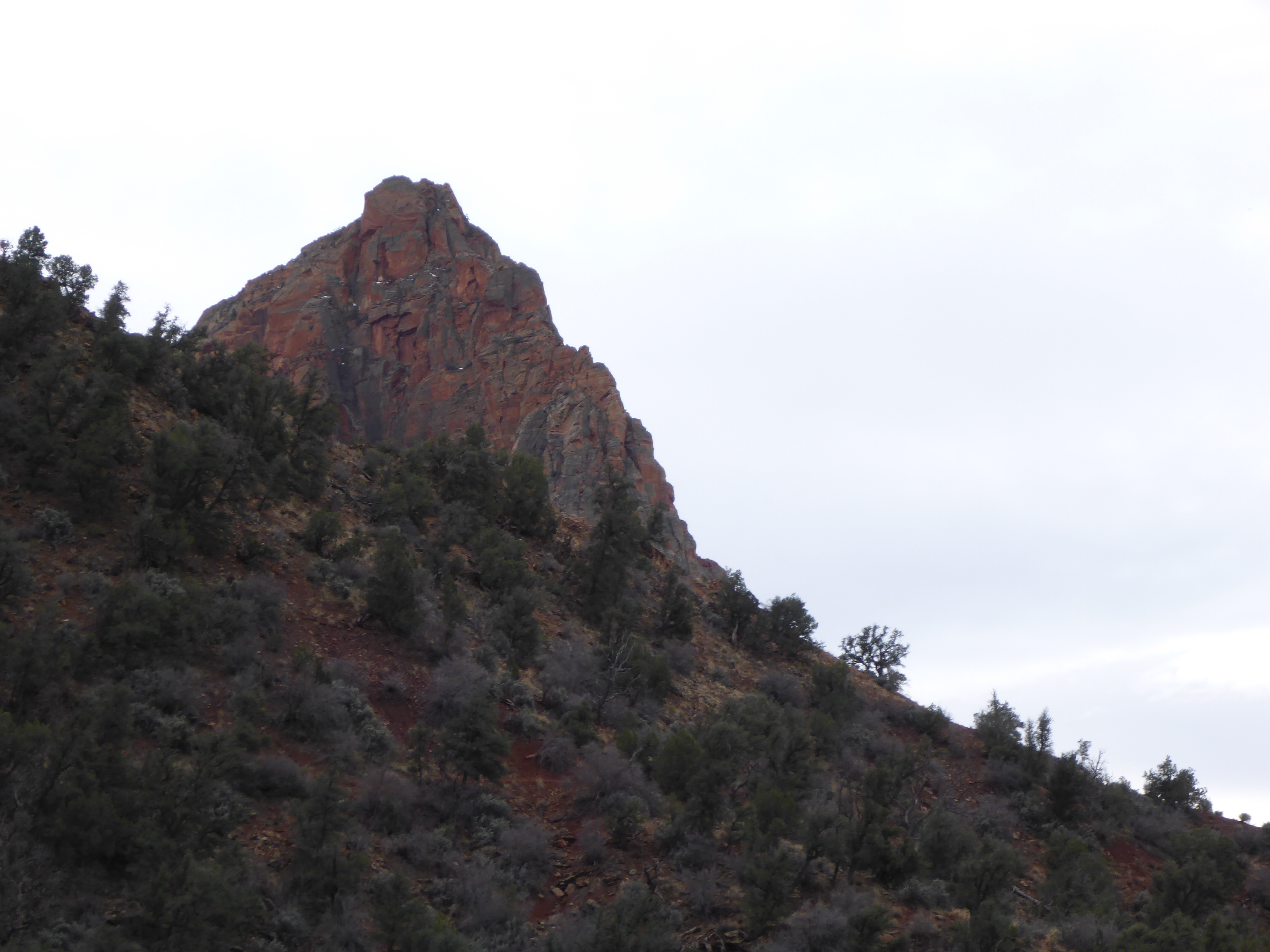
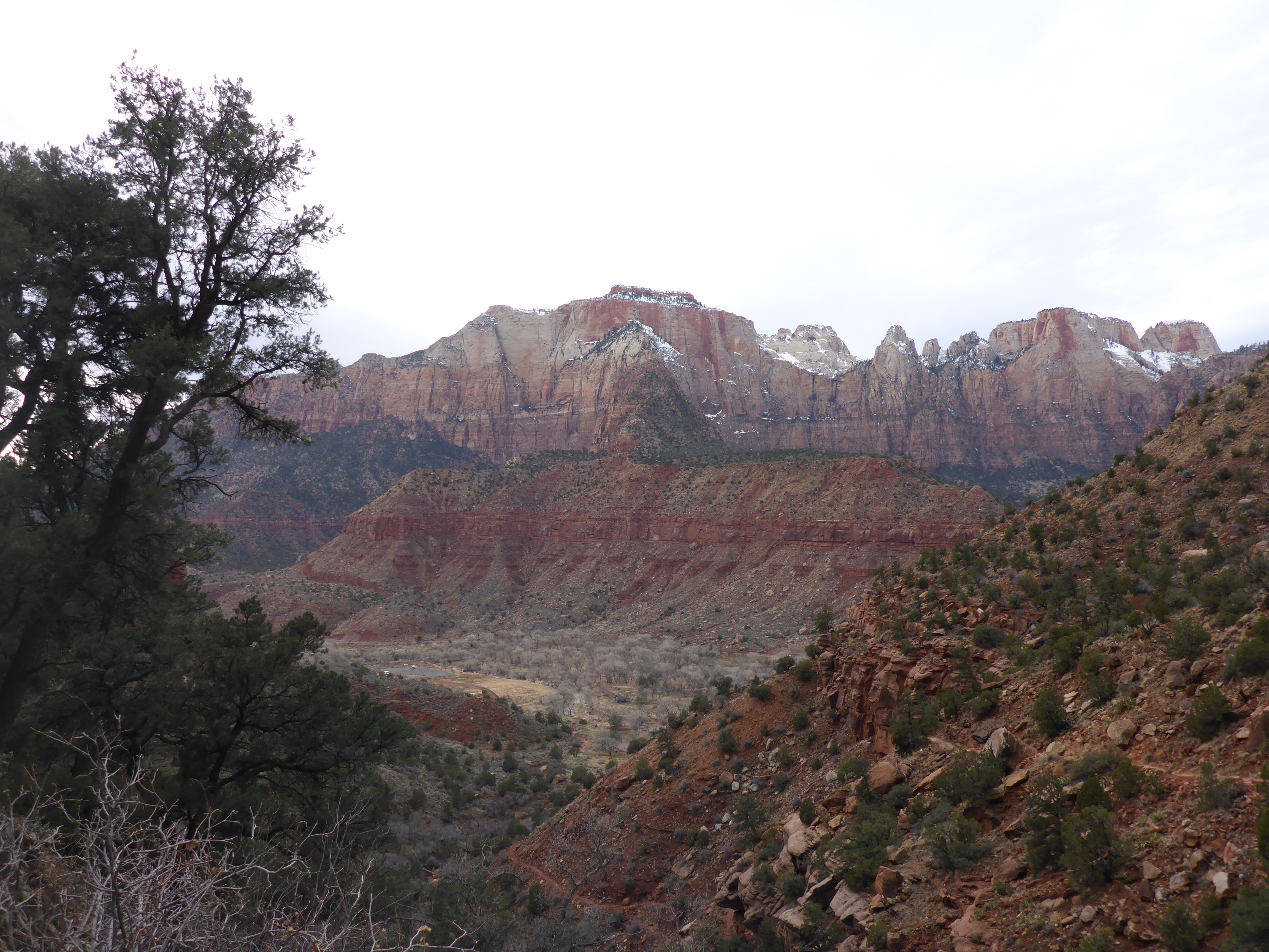
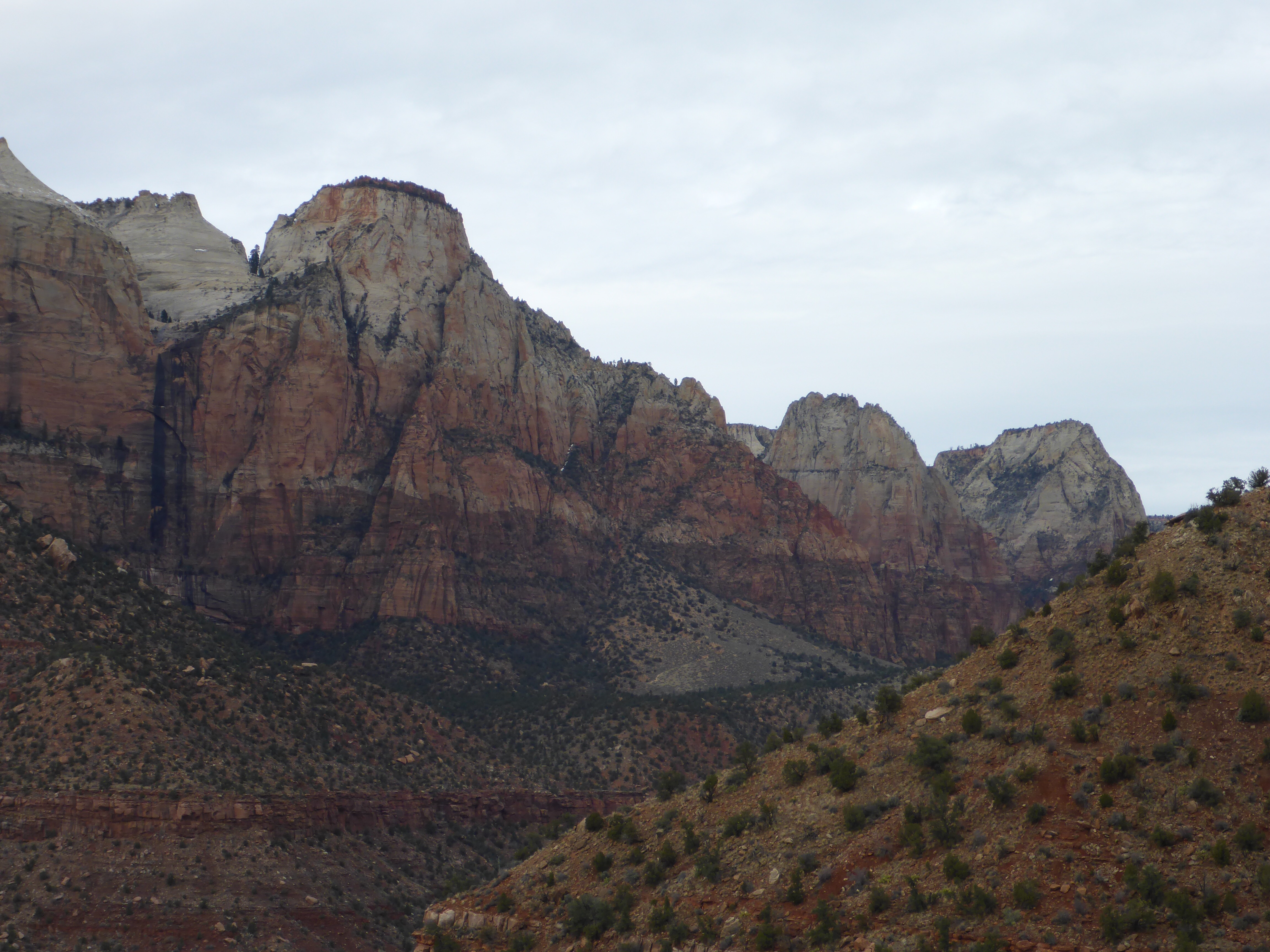
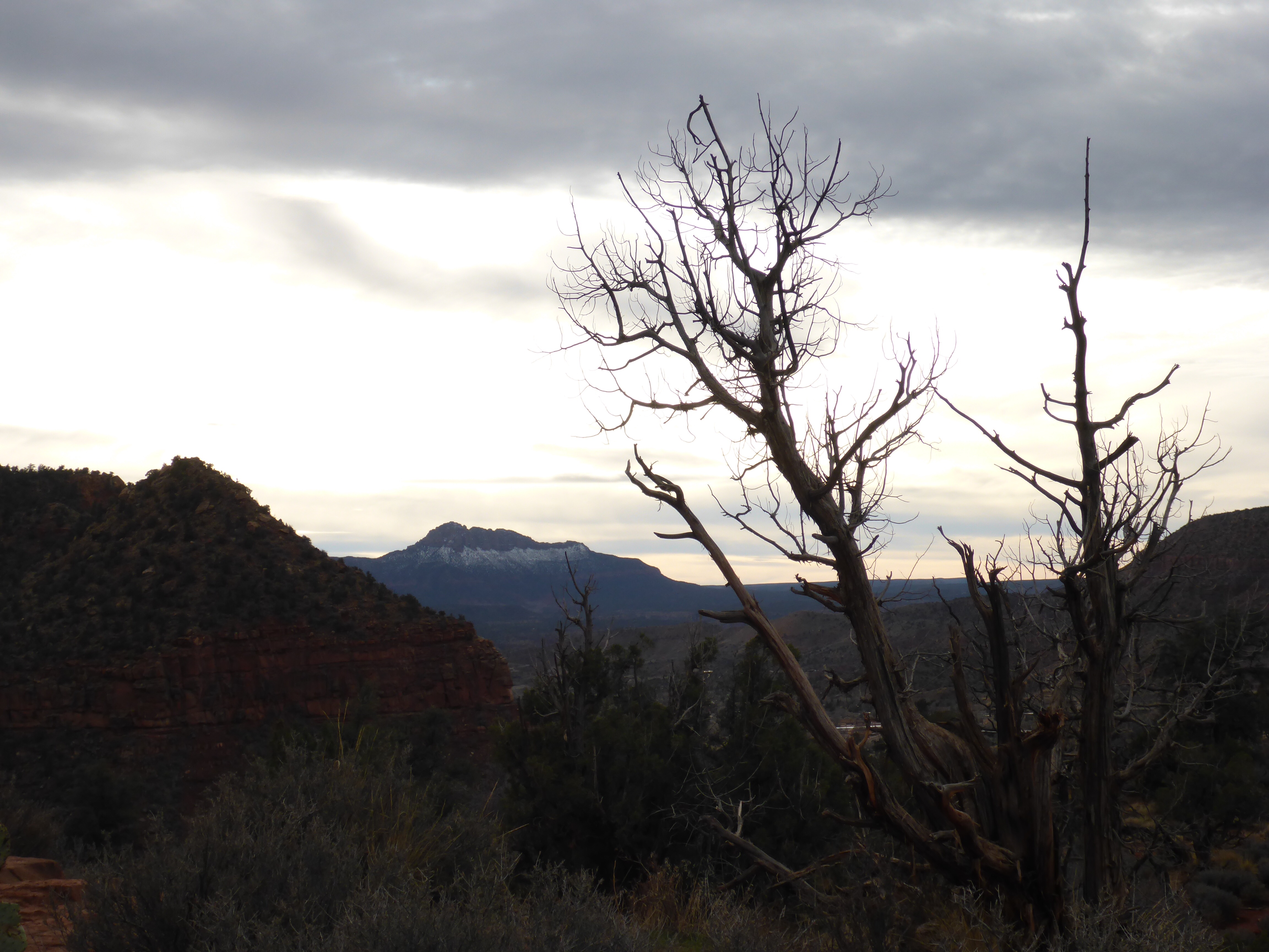
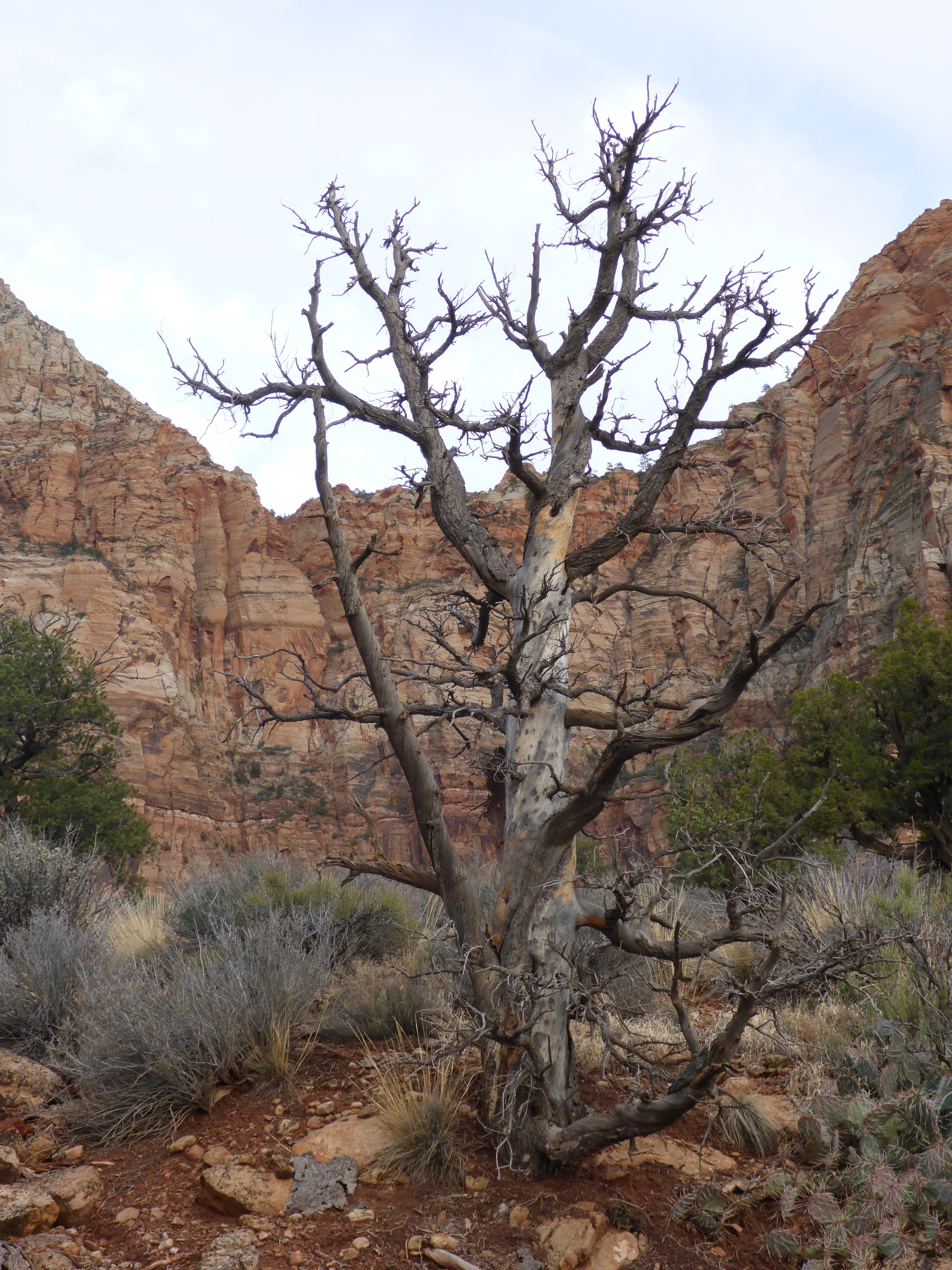
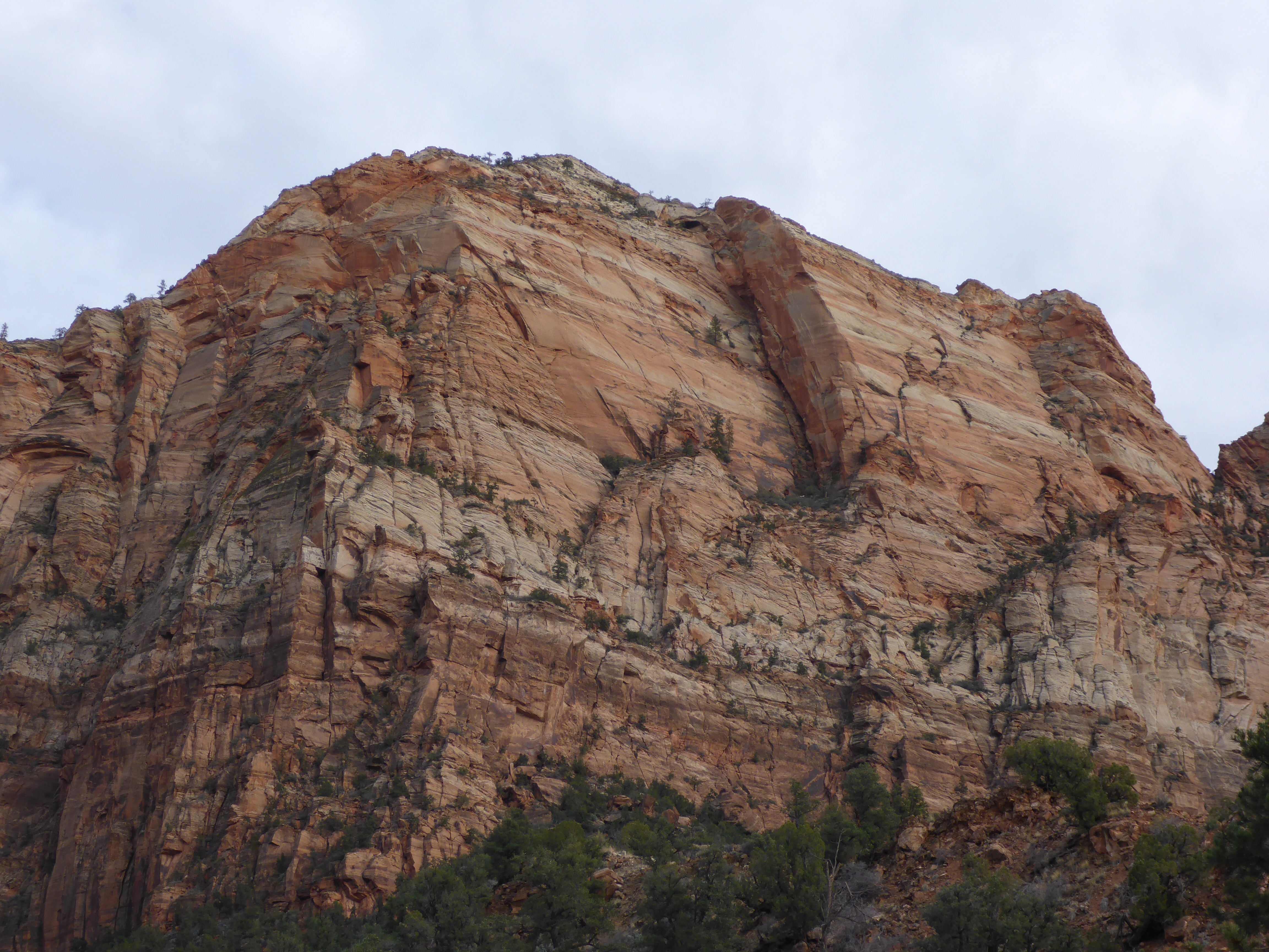
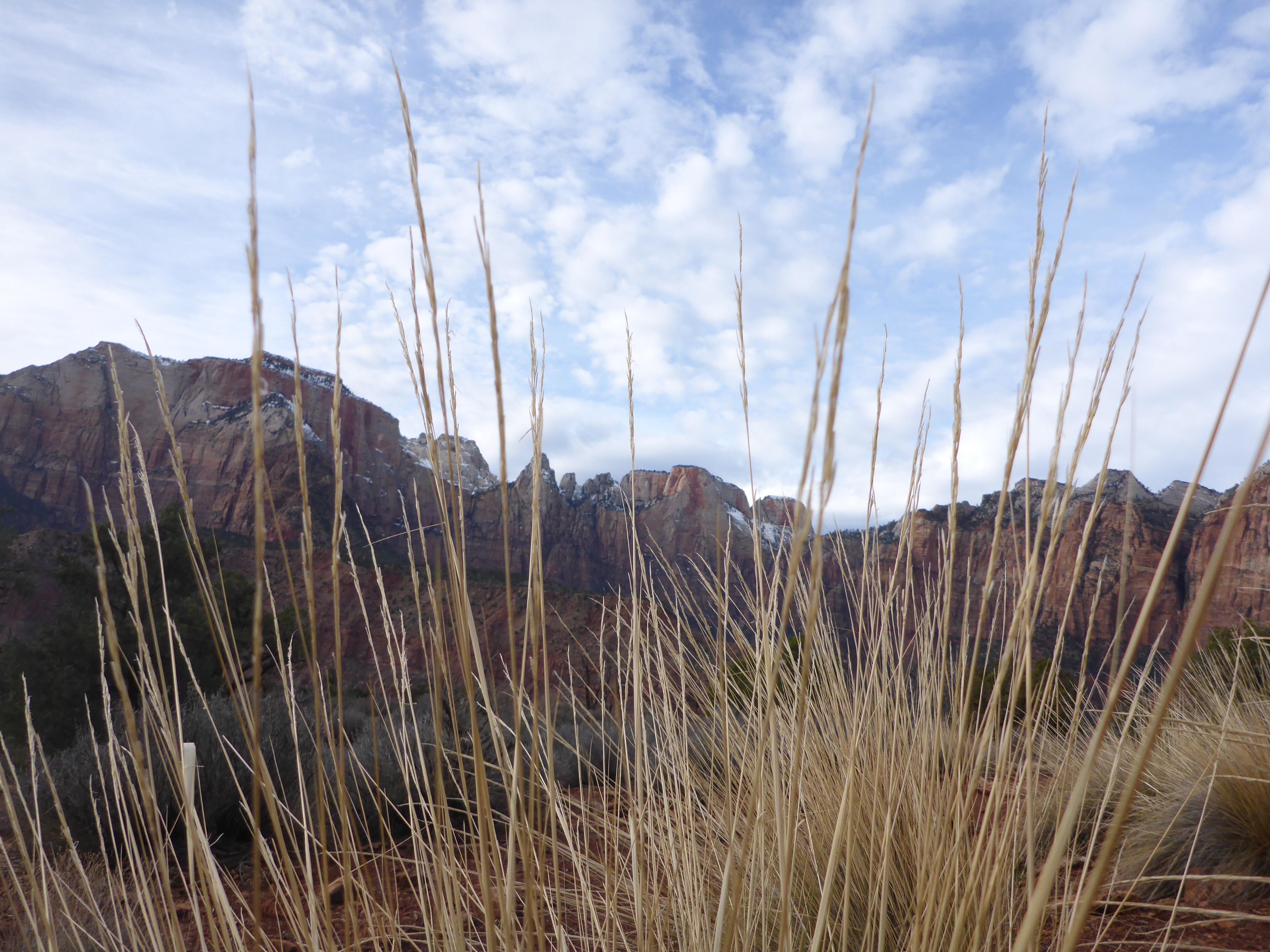
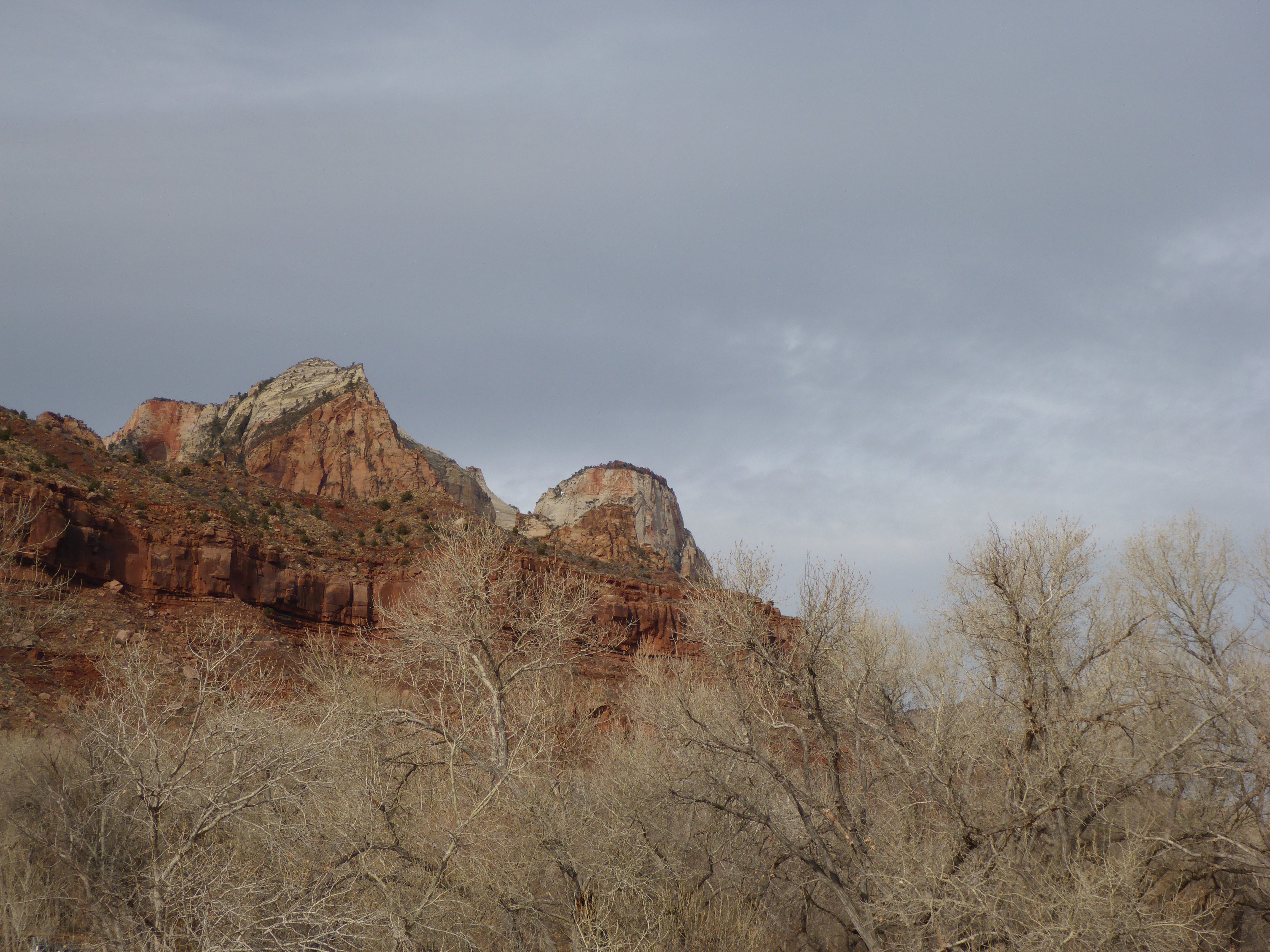
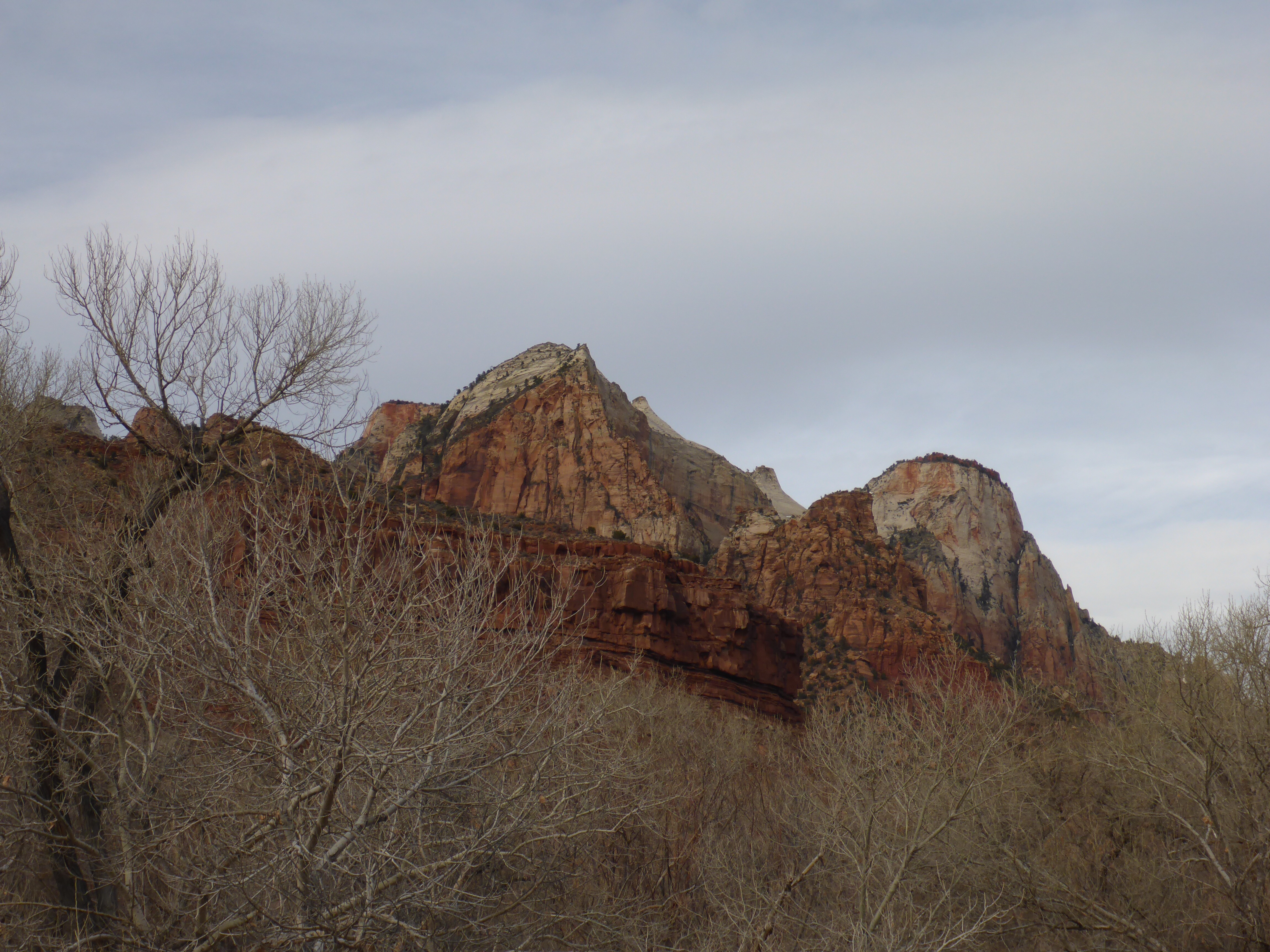
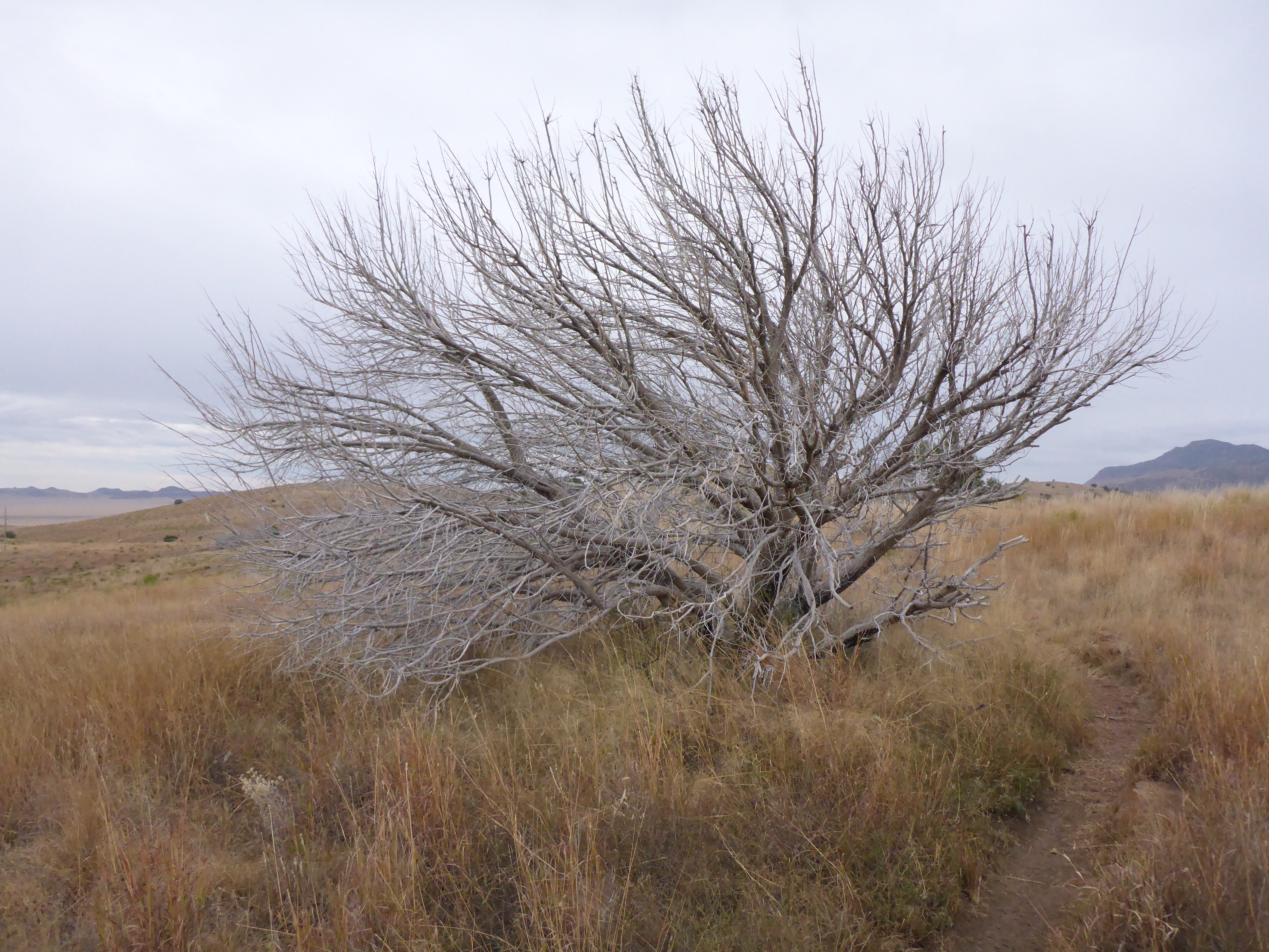
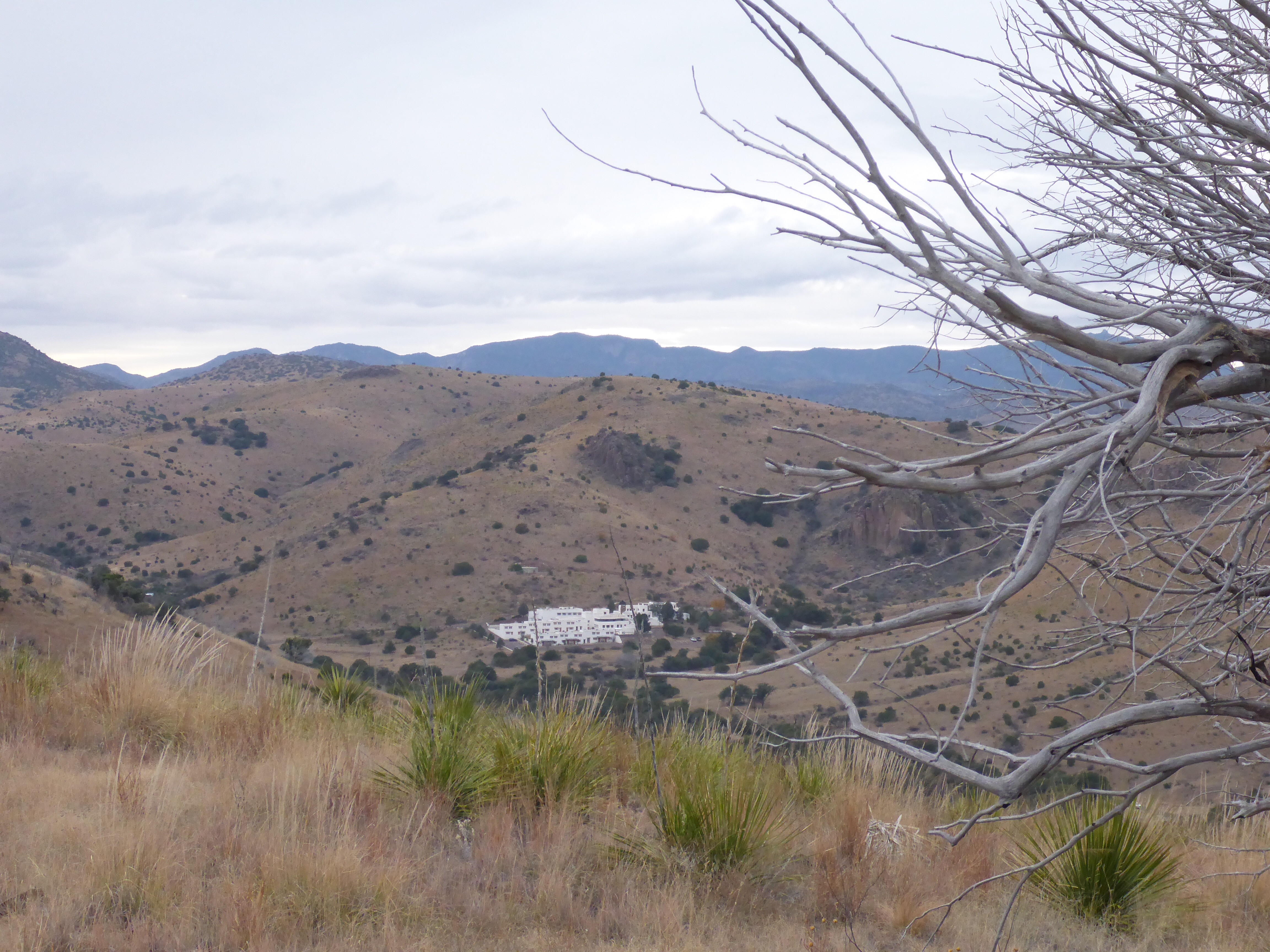
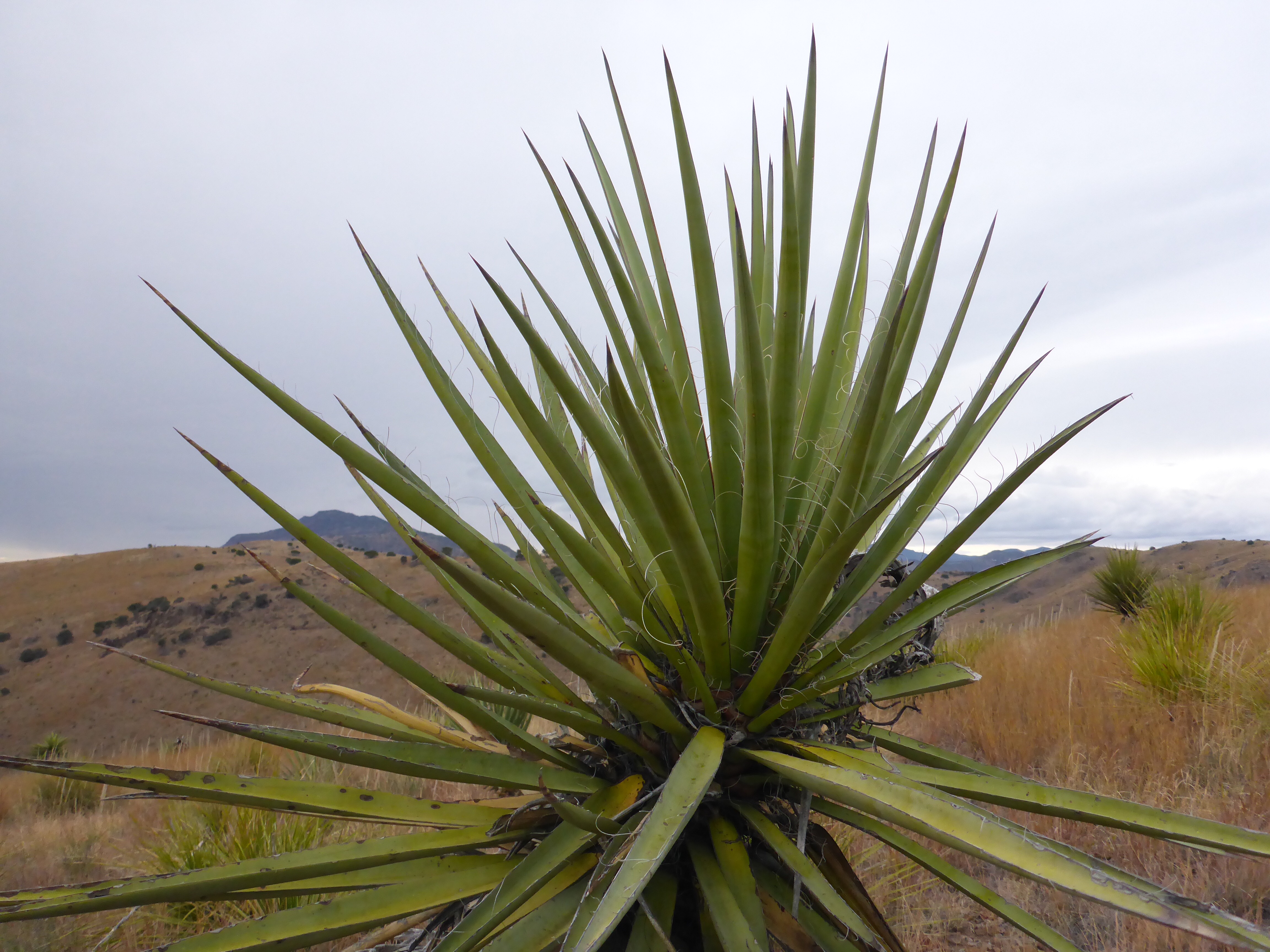
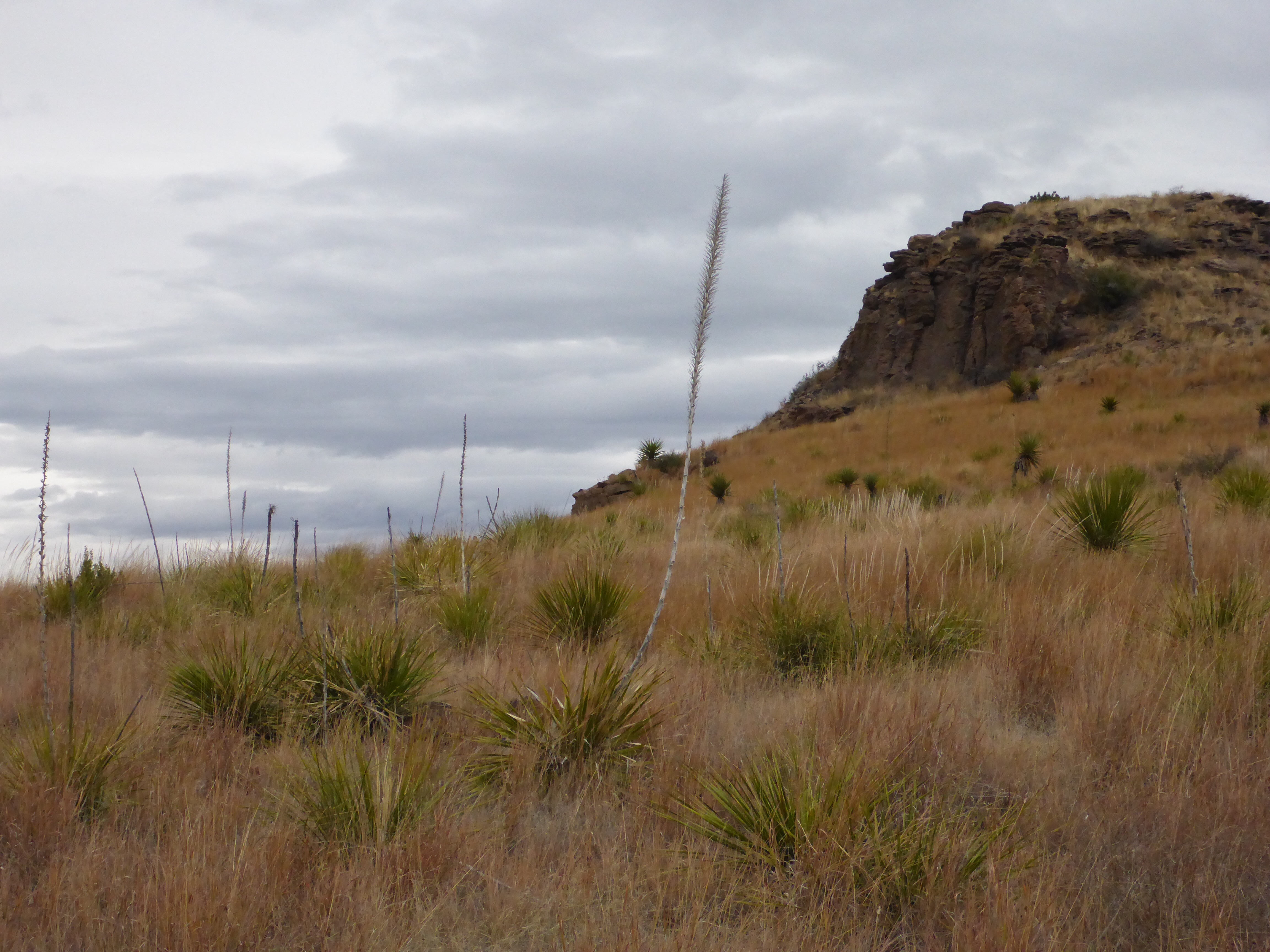
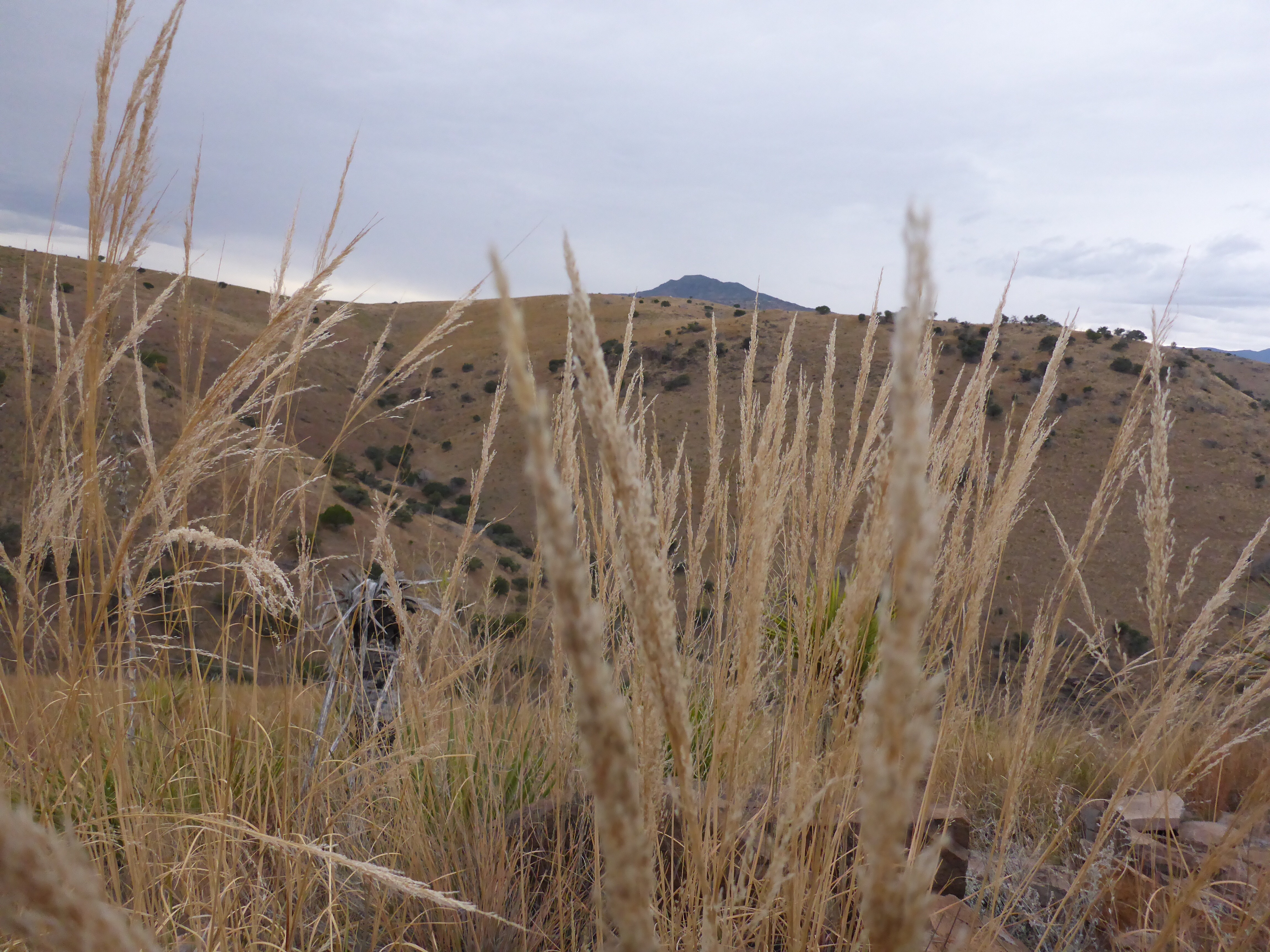
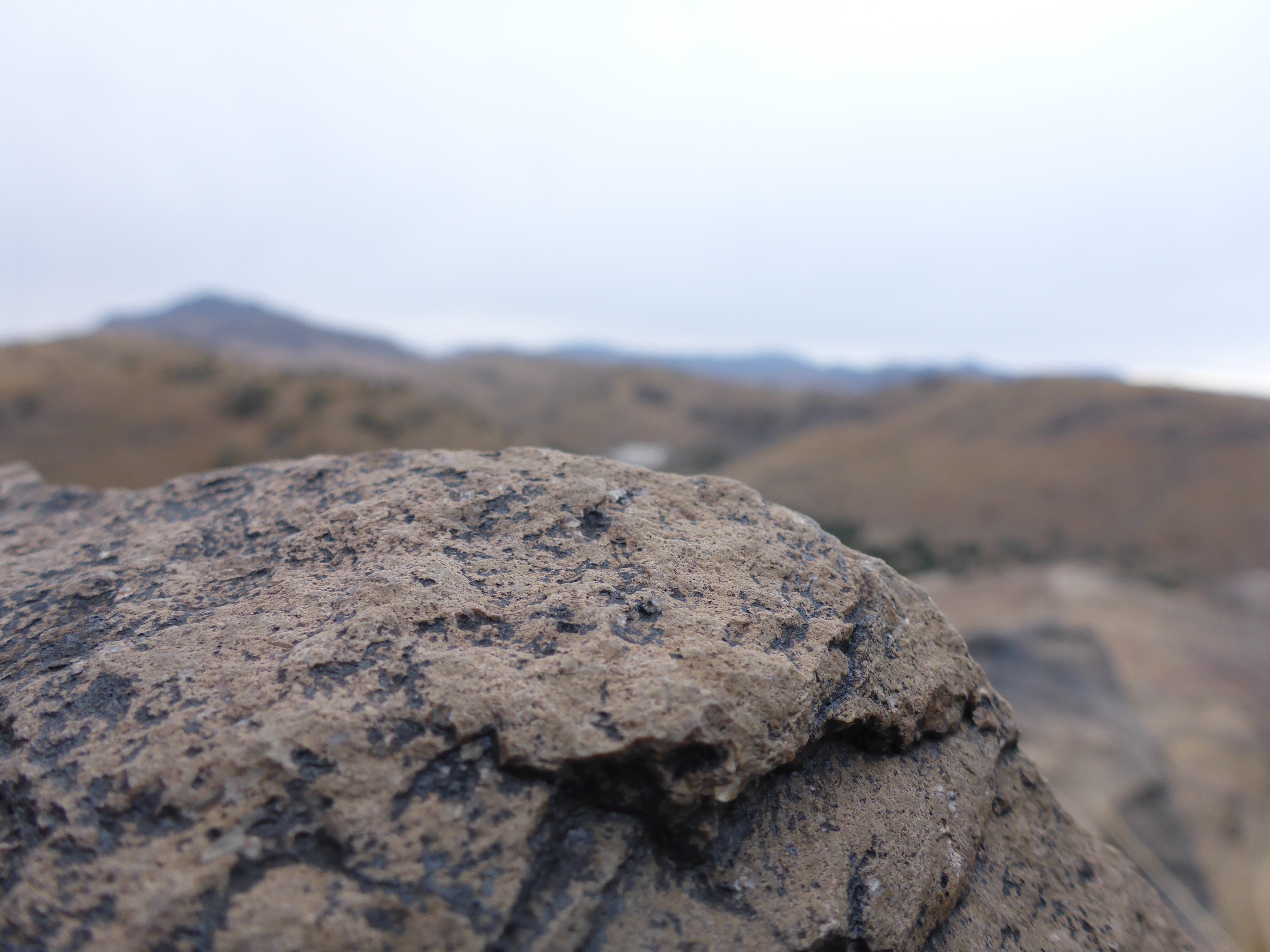
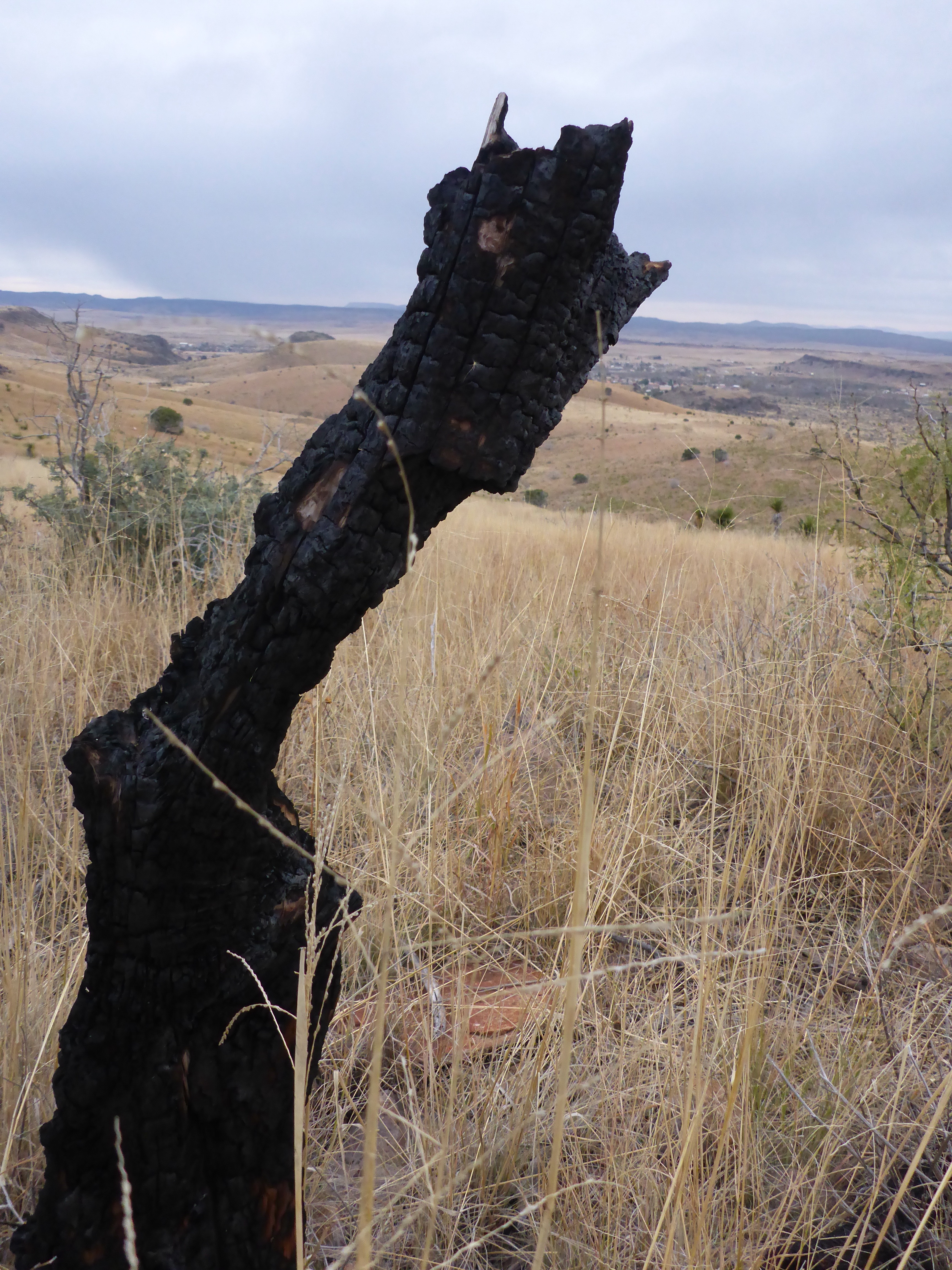
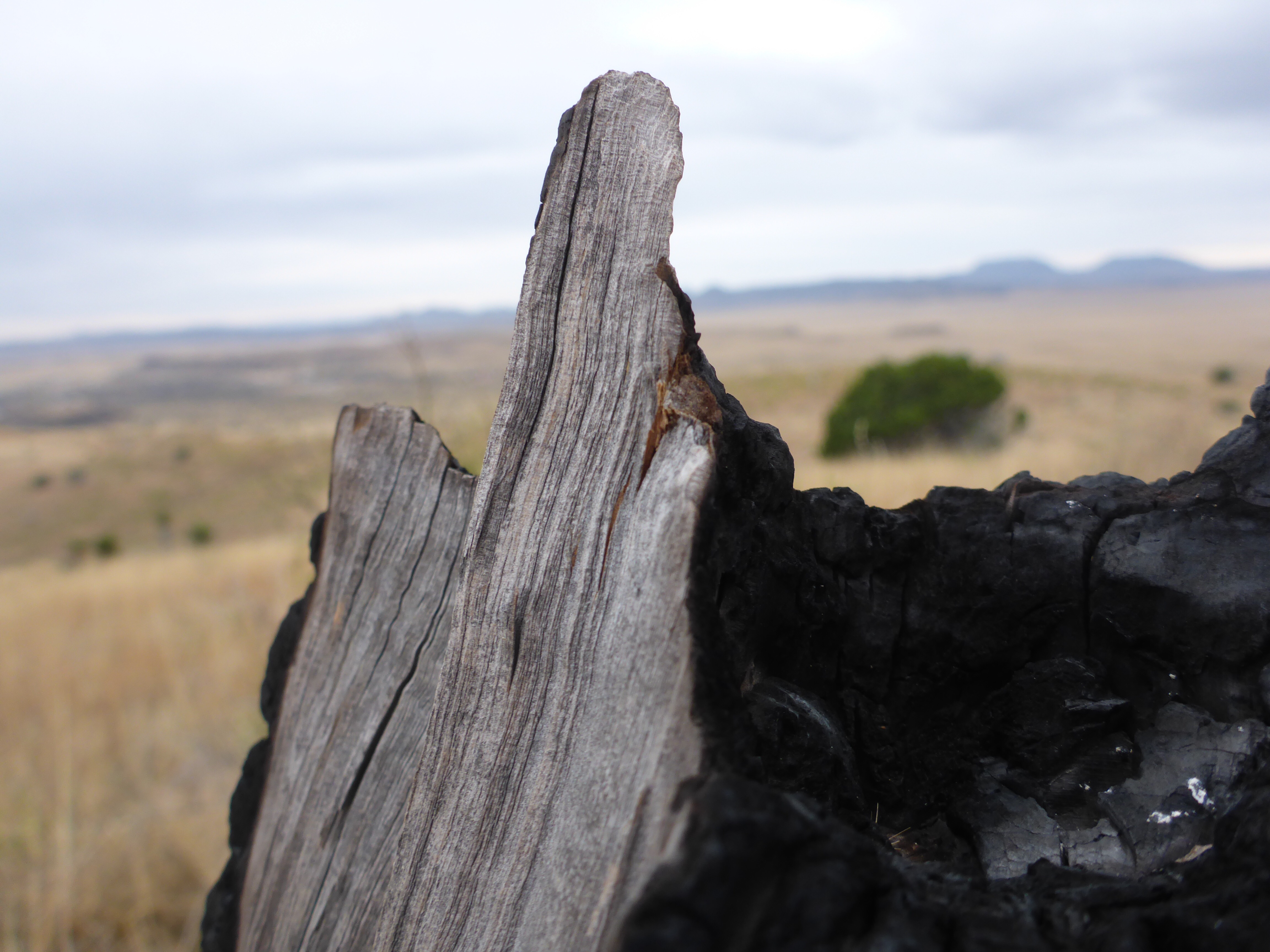
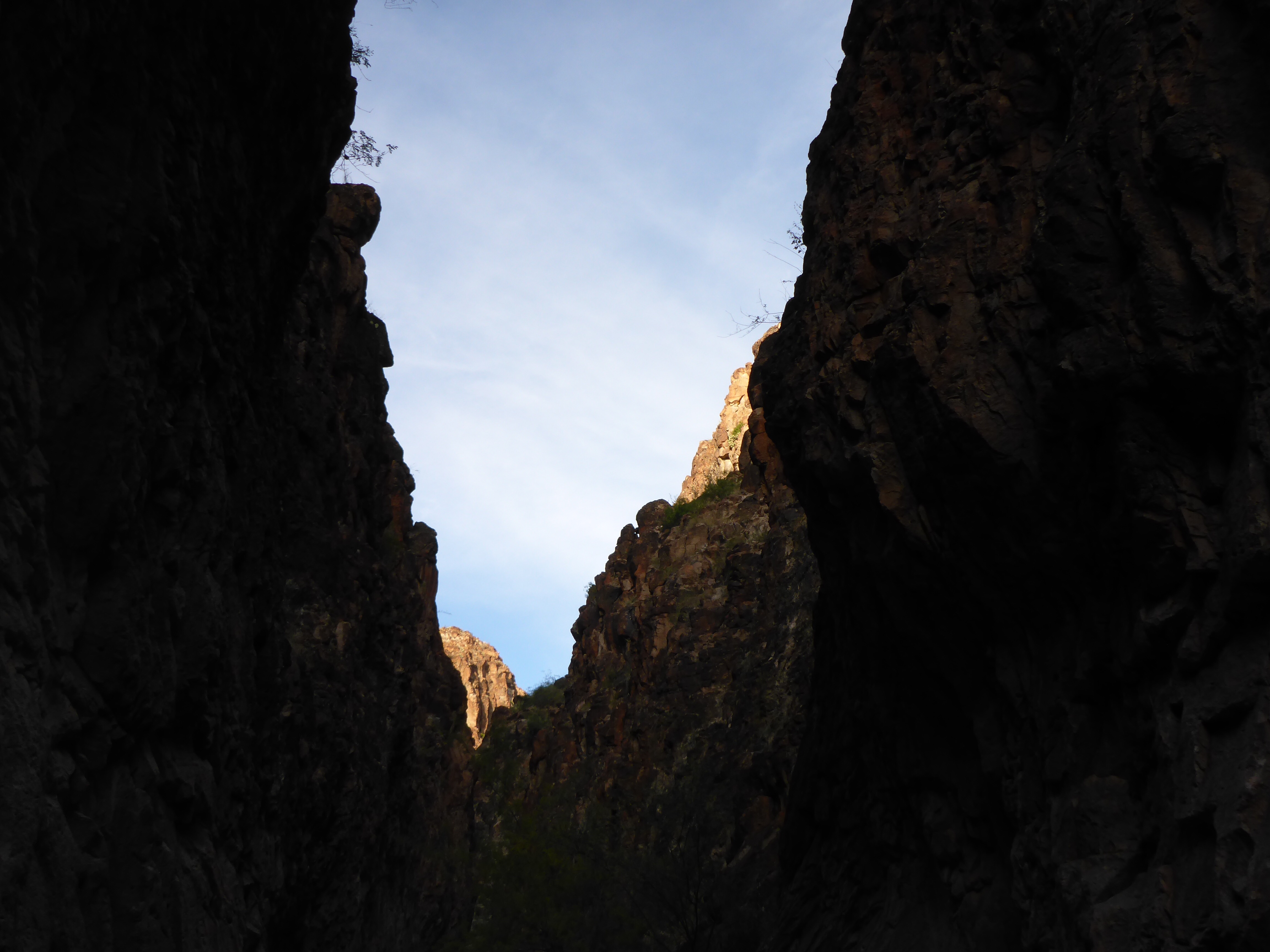
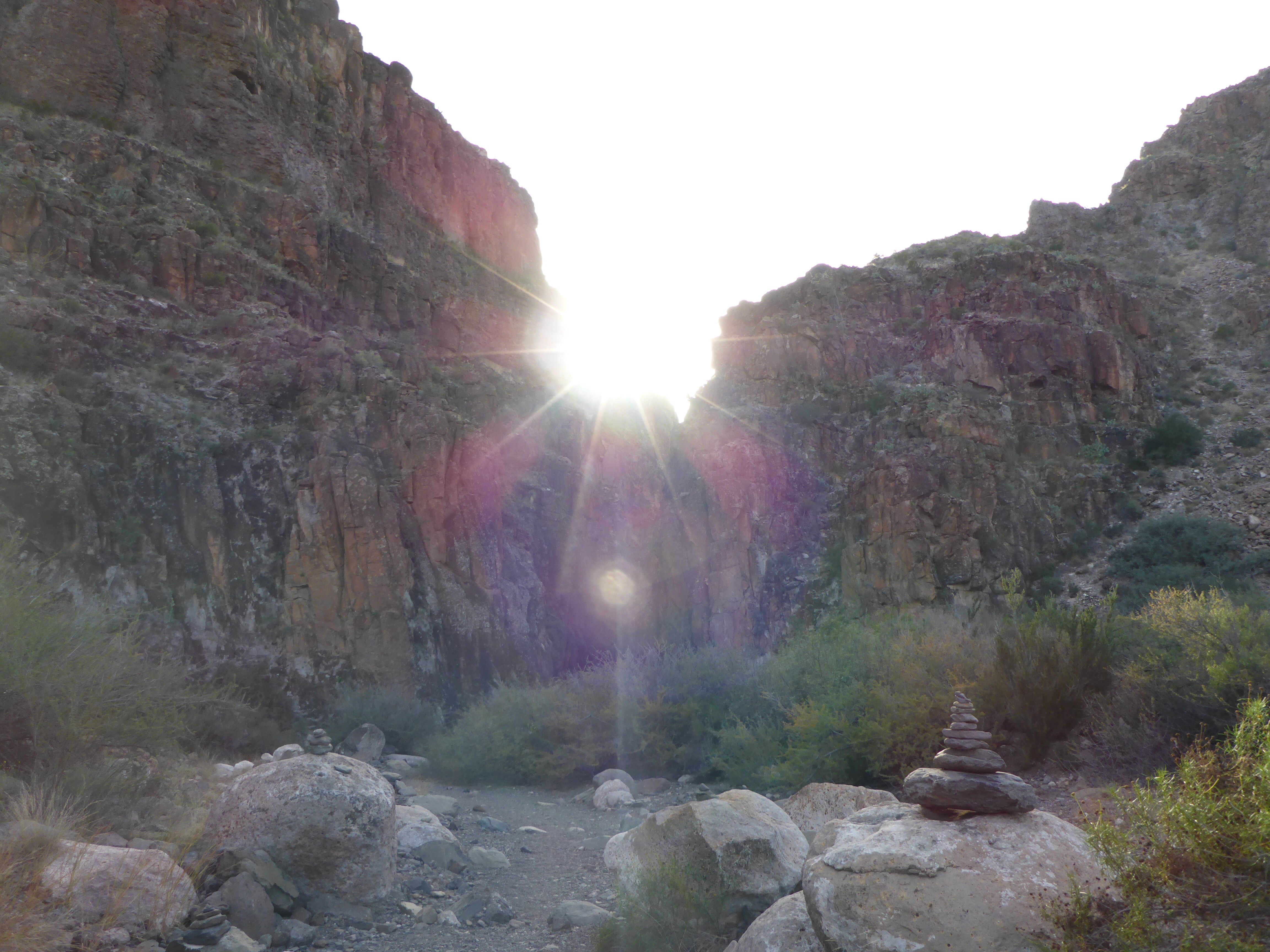
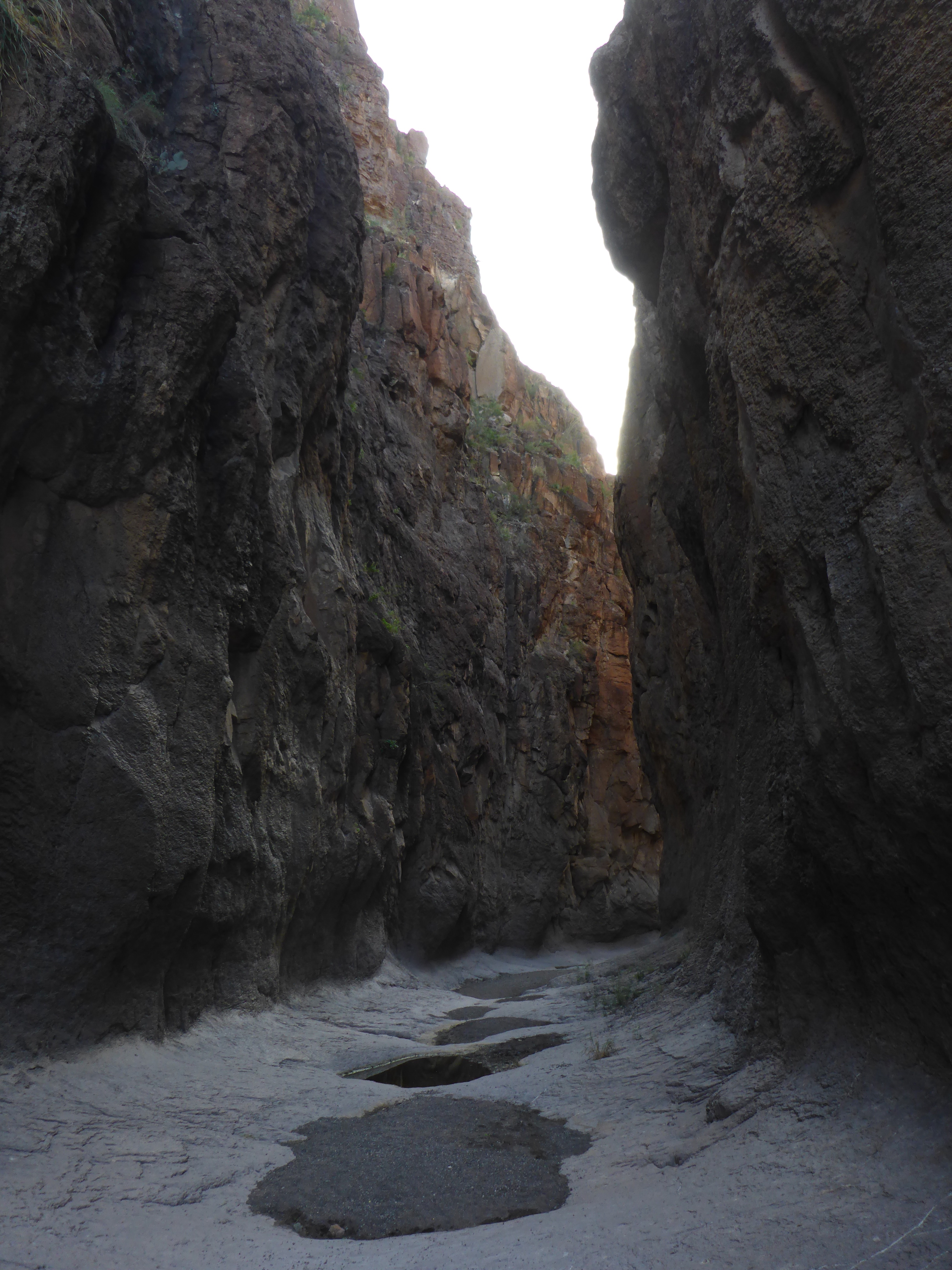
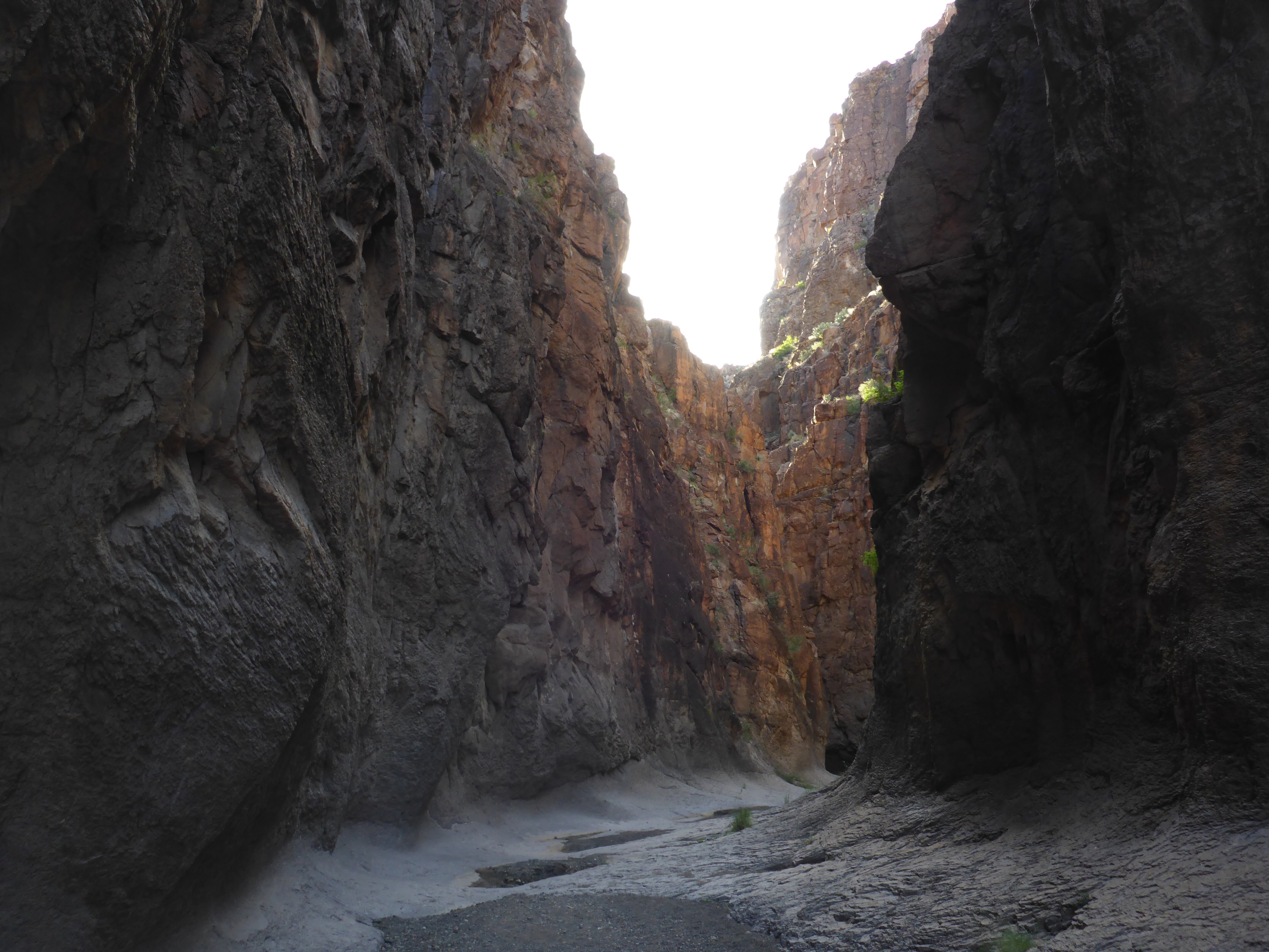
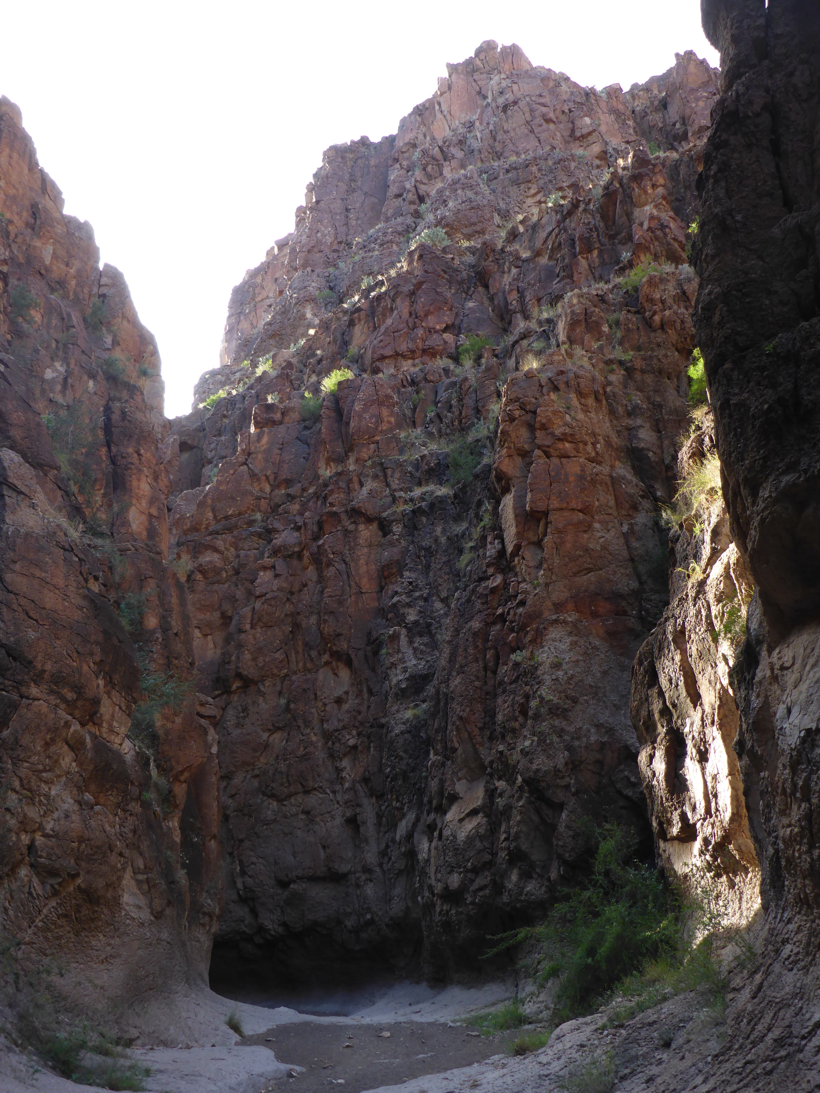
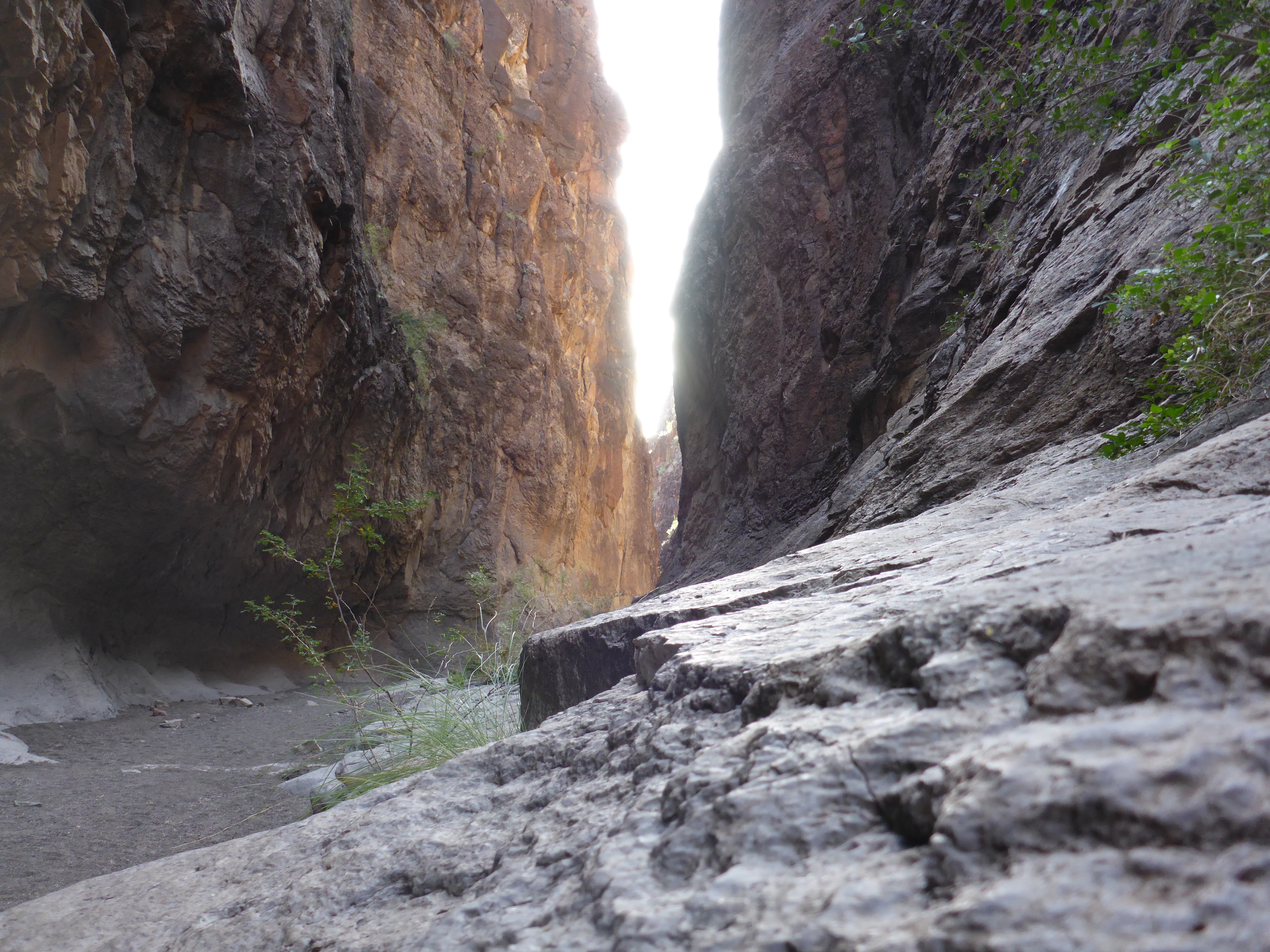
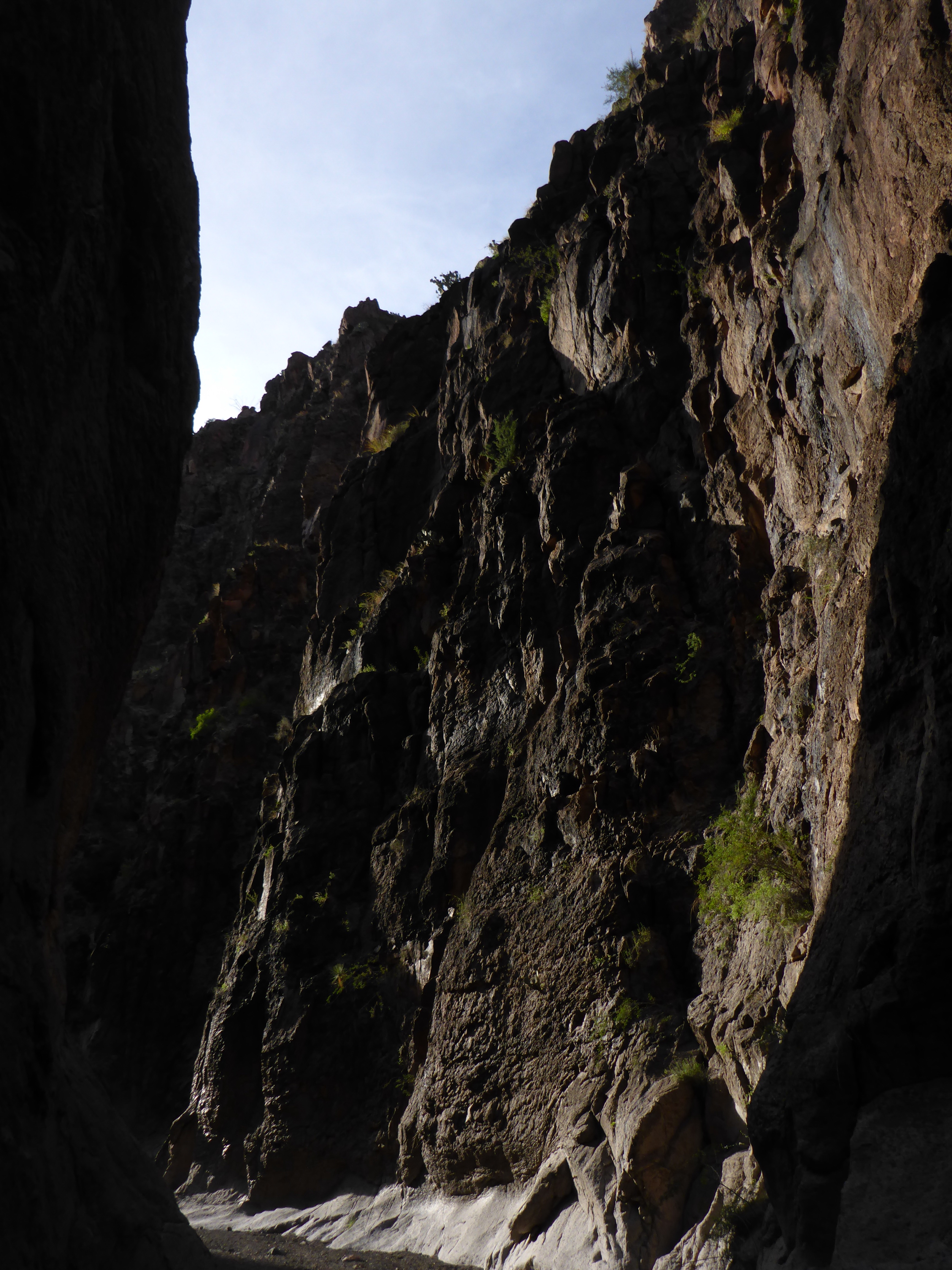
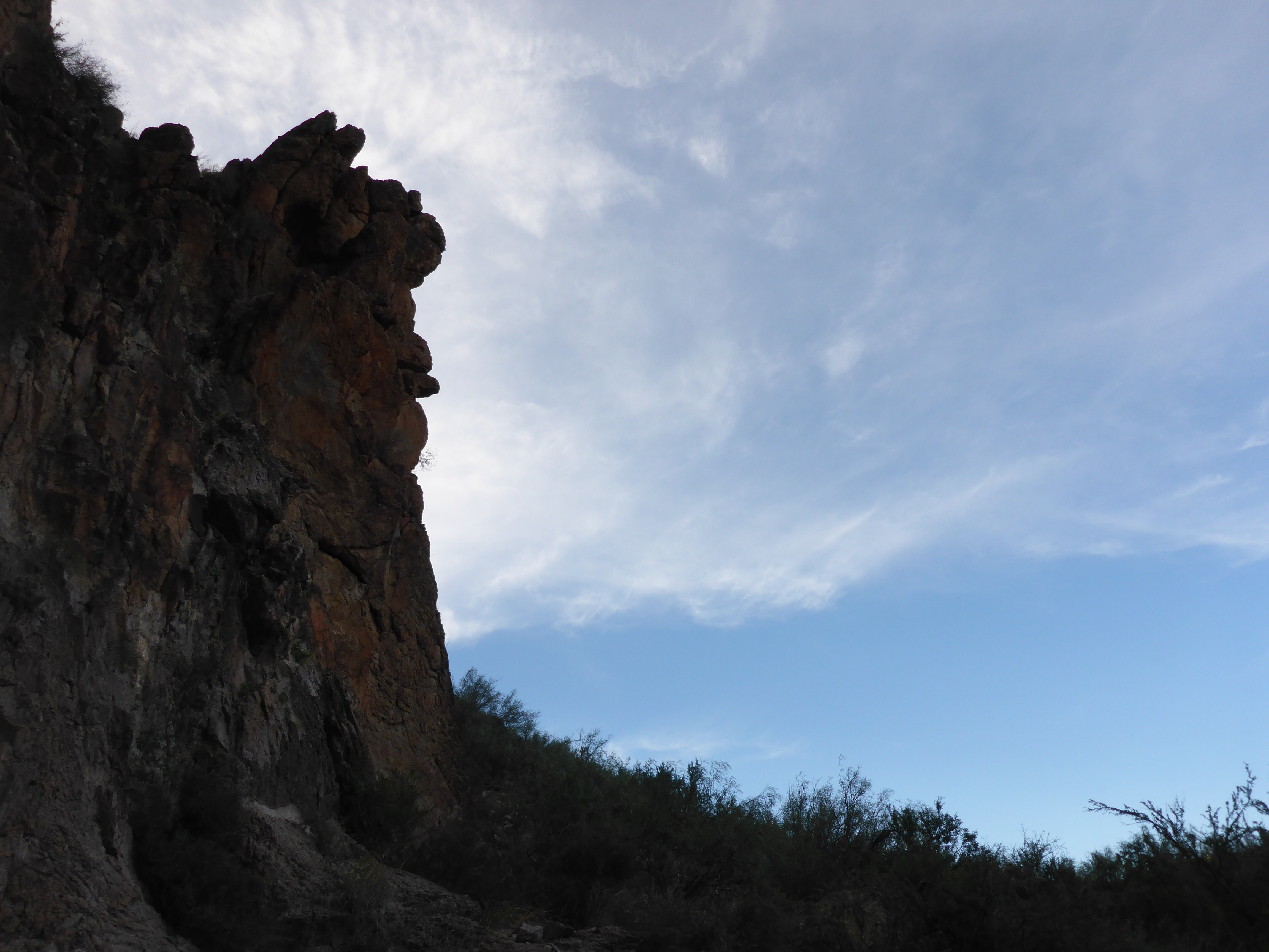
My plan this trip was to take the Loop Trail to the northeast side of the Park. From there, I would meet up with the Base Trail, then to the Echo Canyon Trail and up to the Summit. This section of the Loop Trail is just over a mile long, is mostly sandy, and crosses the Sandy Creek a few times. It is a beautiful hike on sunny, cool days.
Category Archives: Hiking
Enchanted Rock – Trail Map
Enchanted Rock is getting so popular, that they run out of parking spots and close the Park for hours at a time. Make sure you check the website or Twitter account before making the drive out there. I was lucky and the Park was reopened shortly after my afternoon arrival. Here is a trail map to ponder along with some photos of the pink granite dome to give you an idea of the size of things.
Cotton Belt Trail
I think this is why I like hiking so much. In the span of a few hours on the Cotton Belt Trail, I went from feeling good in the cool cloudy weather, to miserable and soaking wet in a downpour, to a state of awe at seeing a magnificent rainbow at the end of the trail.
Carleen Bright Arboretum
The Carleen Bright Arboretum is located close to Waco in Woodway Texas. The gardens weren’t hopping today, but I did find a Nature Trail, a Creek, and a Cedar Teahouse.
Watchman Trail – Hike
These are some of the sights you can see as you climb the Watchman Trail in Zion National Park all the way to the top. When you reach the trail summit, you will be rewarded with some lovely views.
Watchman Trail – Trail Map
The Watchman Trail is listed as a moderate hike in the Zion National Park Hiking Guide with a distance of 3.3 miles and an elevation change of 368 feet. I think a lot of people may take a pass on this trail because it kicks off right from the Visitor Center. However, I liked the trail and its scenic views of the Zion Canyon and beyond. Here is the Trail Map and several photos taken from ground level or from a very low elevation at the beginning of the hike. As you may know by now, Zion National Park is a beautiful place.
Skyline Drive Trail – Hike
What a beautiful hike in a little bit of rainy weather. There were views all around, including sights of the Indian Lodge far off in the canyon. A short climb to the Keesey Canyon Overlook was very rewarding with scenic views of the entire area. I would like to return to the Davis Mountains State Park for some more hikes in the future. Here is a link to the Trail Map in case you are curious about the hikes available here.
Skyline Drive Trail – Trail Map
Skyline Drive Trail is a scenic hike along the top of a ridge in the Davis Mountains State Park. The high point on this approximately 2.6 mile hike is the Keesey Canyon Overlook, with grand views of the entire park and beyond. The Overlook Shelter at the far East end of the trail has a beautiful “picture window” with views of the city of Fort Davis and Hospital Canyon. There are also several picnic spots here if you prefer to just sit and enjoy the sights and sounds of the Davis Mountains.
Closed Canyon – Hike
This hike through a slot canyon was a great experience. It was wonderful to feel enclosed with high canyon walls on either side. At times, I had to scramble down rock formations to continue onward. There was only the sound of the crunching of sand and gravel beneath my hiking boots. The sun was getting close to setting, the temperature was cooler in the shadows, and around each new corner was a surprise. Every few steps was a grand photo opportunity. 🙂
Closed Canyon – Trail Map
Closed Canyon is a slot canyon located in the Big Bend Ranch State Park. The trailhead is just off of Farm to Market Road 170, and the hike is about 1.4 miles long round trip. It is a beautiful place. According to the brochure, “Mountain lion, javelina, rock squirrels and a variety of lizard and snake species including the greater earless lizard, desert spiny lizards and the western diamondback rattlesnake may be seen in or near the canyon.” Lucky for me, I had the Canyon all to myself.


