Midgley Bridge

IMG_4454

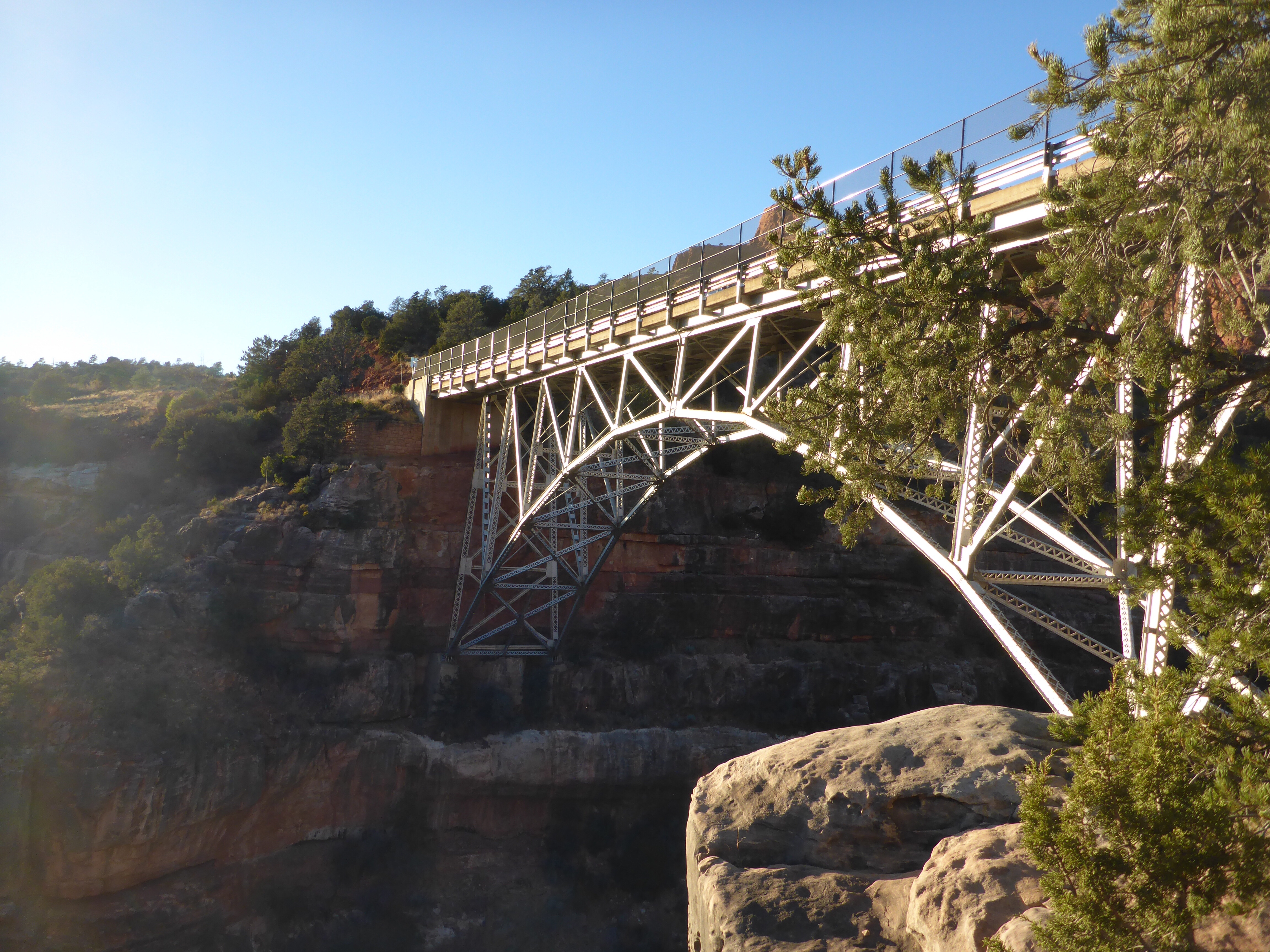
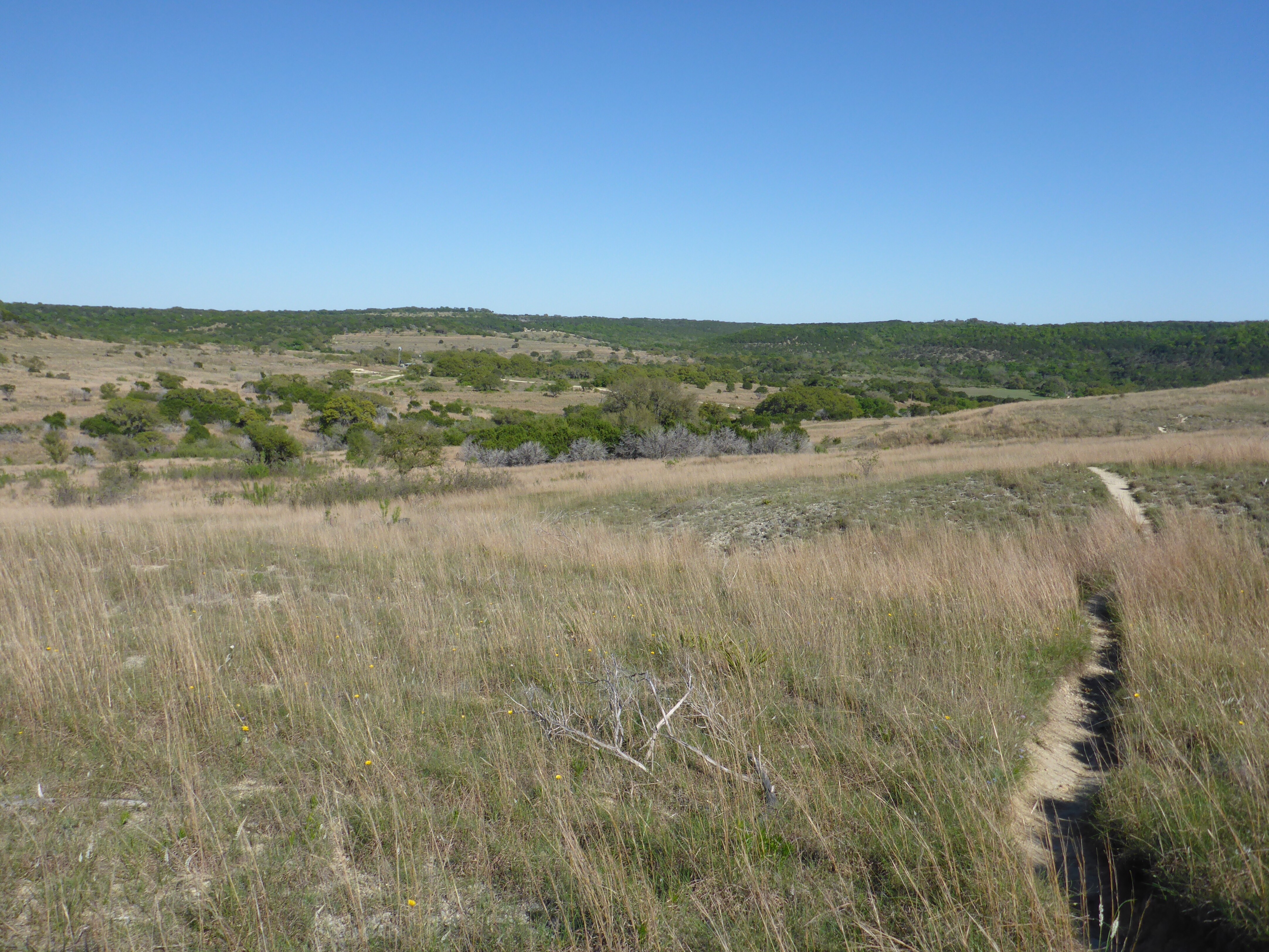
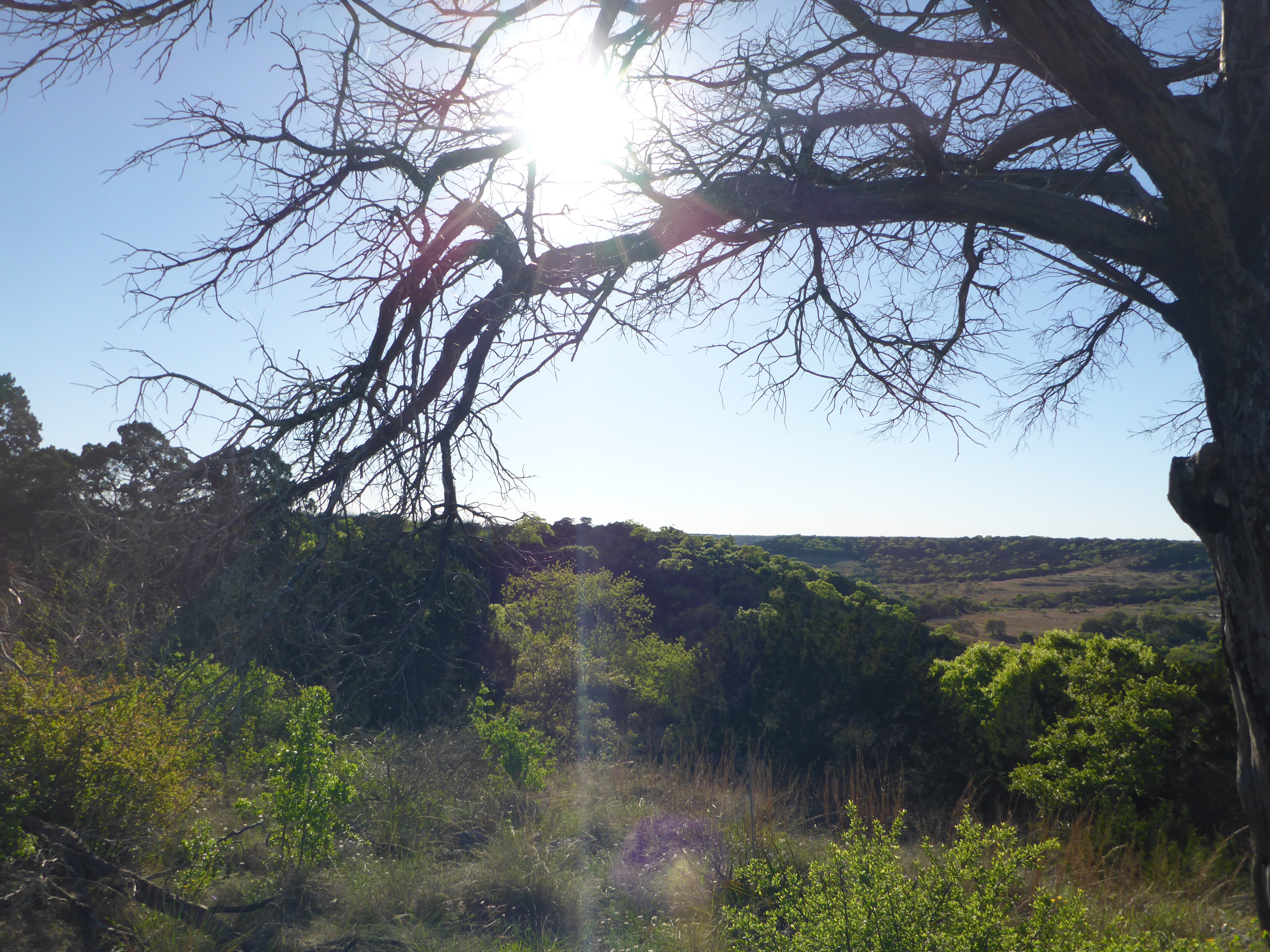
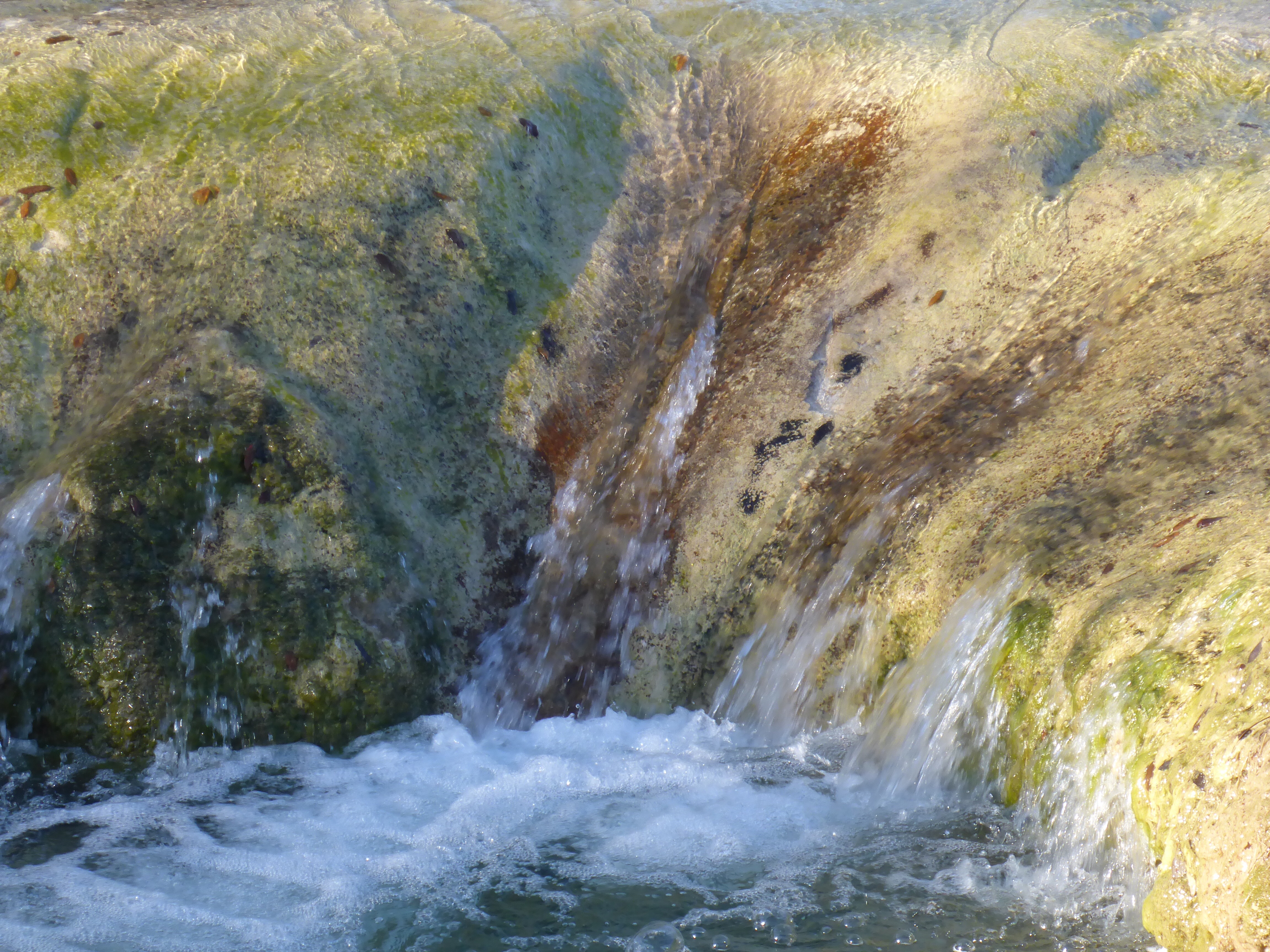
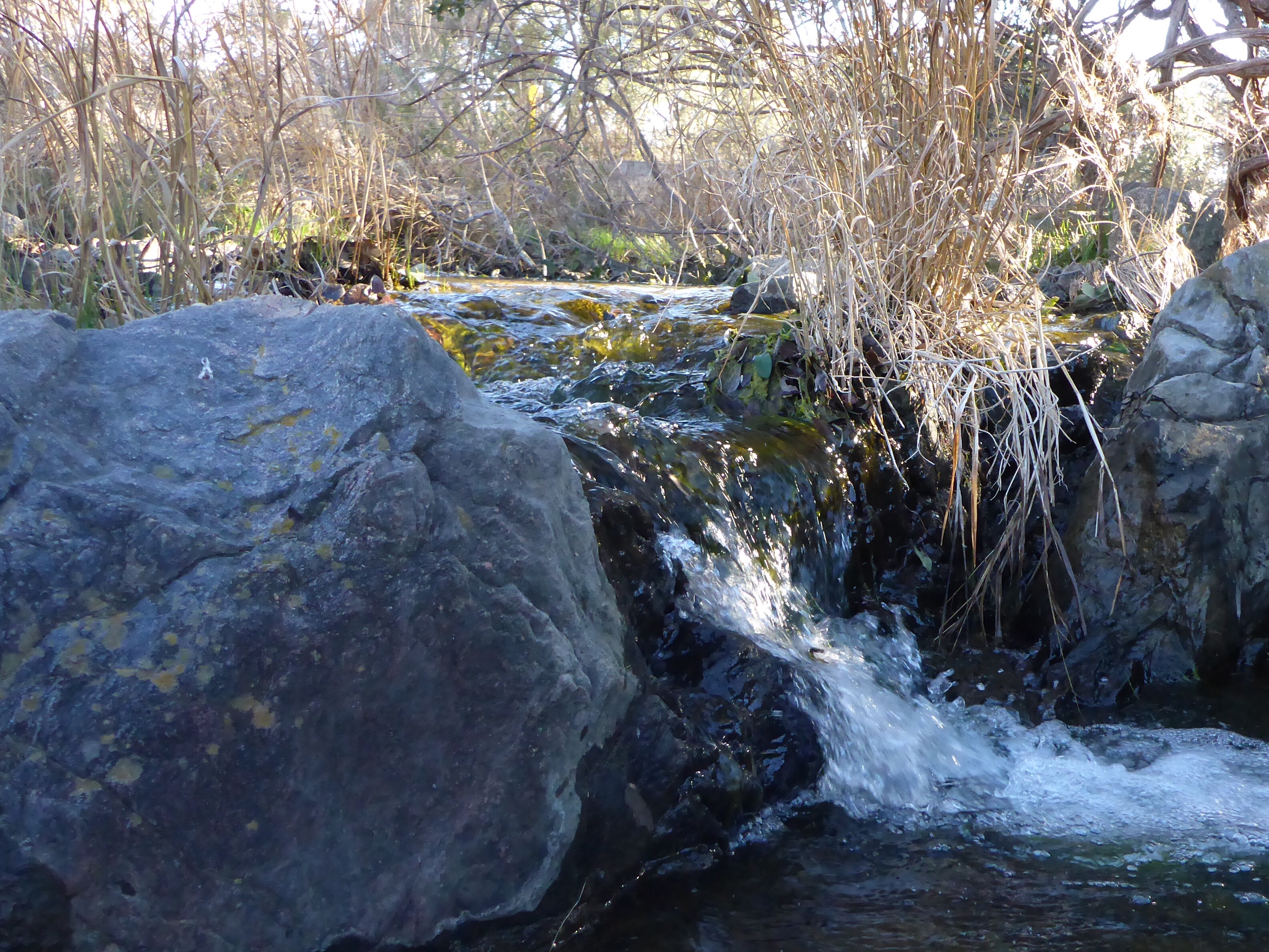
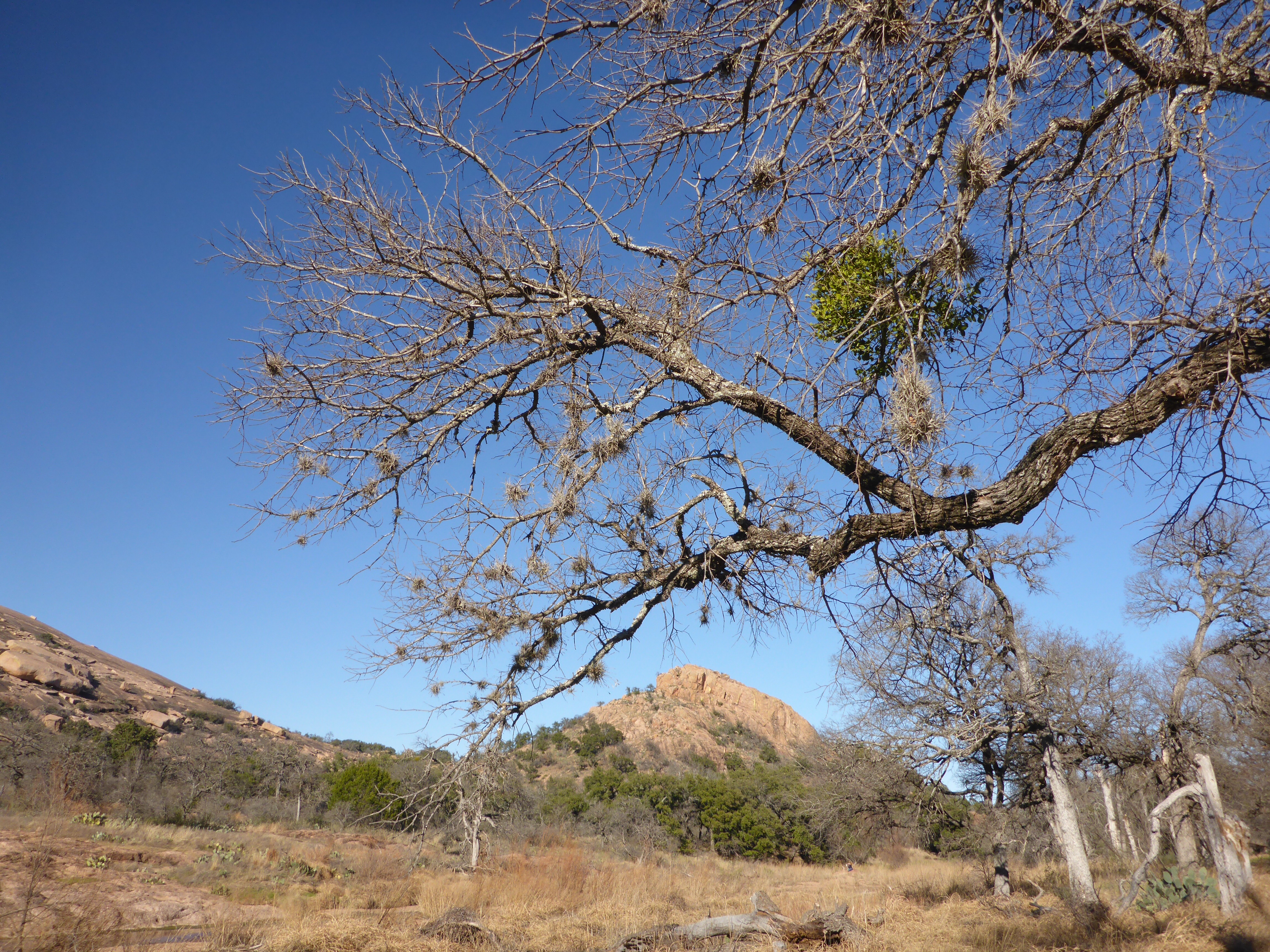
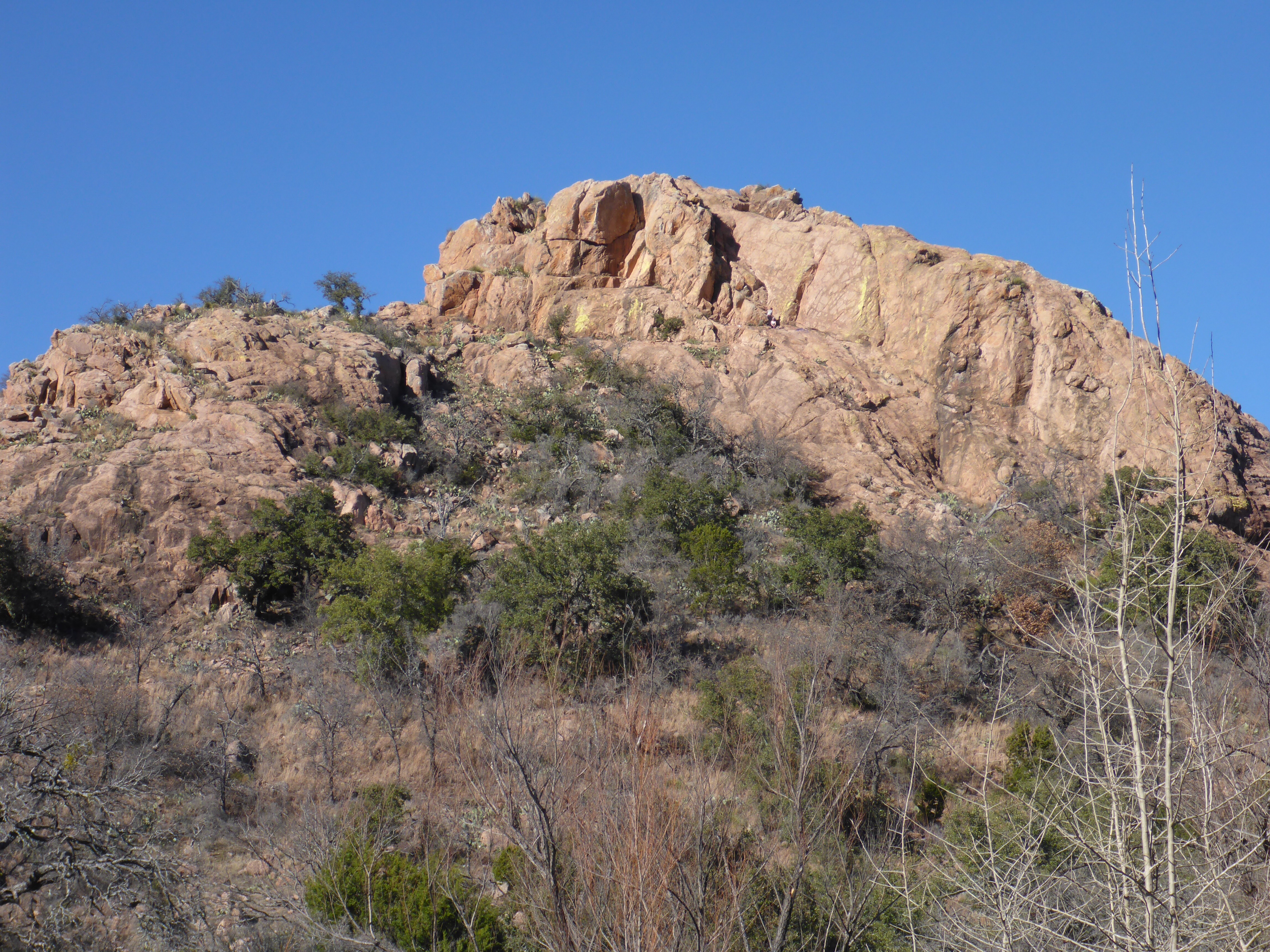
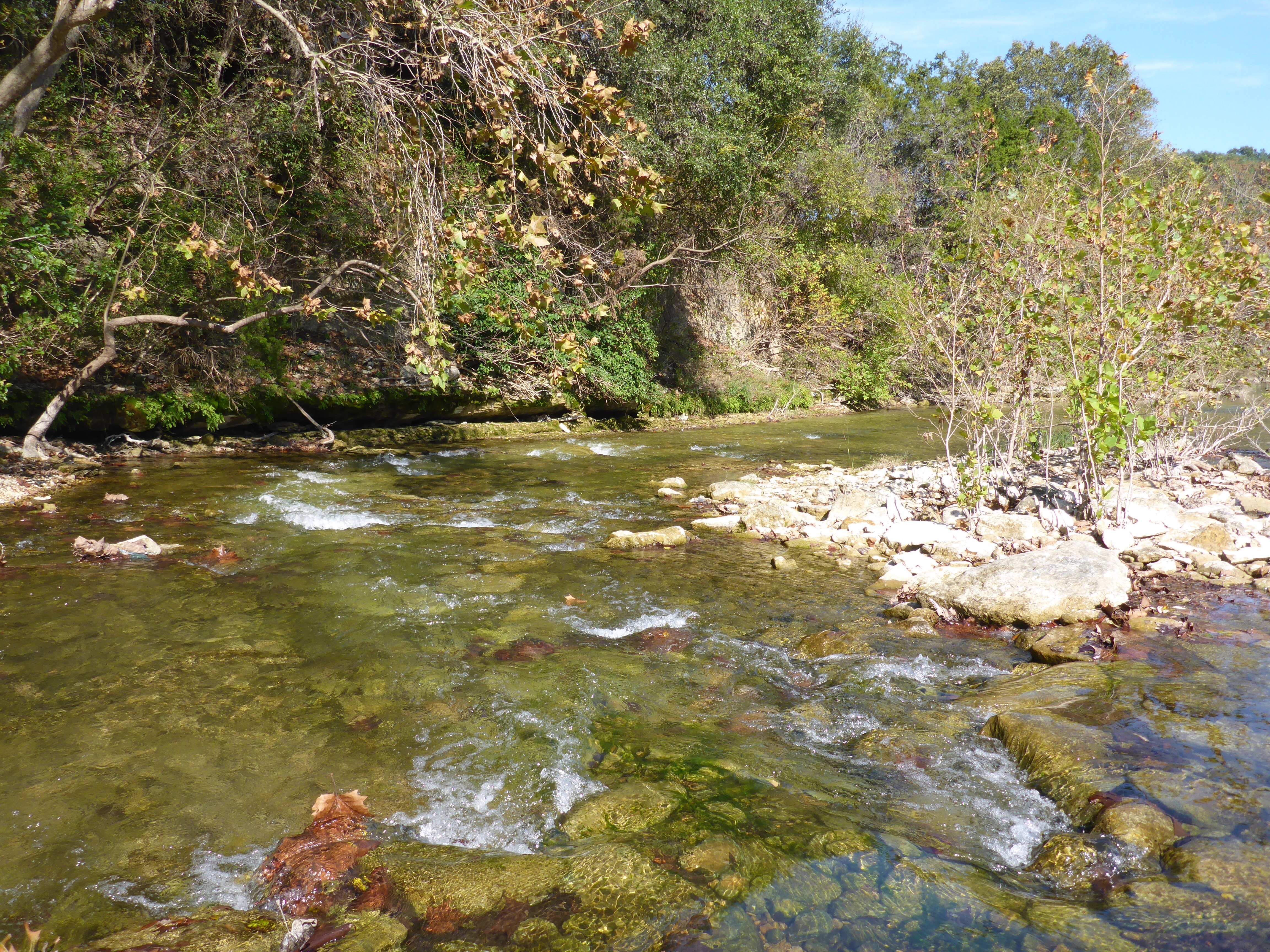
If you are coming into Sedona from the north on Arizona State Route 89A, you will eventually cross over Midgley Bridge. This is a striking piece of architecture with some beautiful surrounding views. There are also a few hiking trails that head out from the small, crowded parking lot. On your walk, you will have sight lines to Oak Creek and the surrounding canyon. This is a perfect place to stop for a snack and to stretch your legs before moving on to Sedona.

IMG_4455

IMG_4456

IMG_4457

IMG_4458

IMG_4459

IMG_4460

IMG_4461

IMG_4462

IMG_4463

IMG_4464

IMG_4465

Copperfield Nature Trail

IMG_3683

The Copperfield Nature Trail is about 3.5 miles of trail that runs along Walnut Creek on the East side of I35 in Austin.  I started from Copperfield Park, and followed the trail as it bends along the Creek side.  This trail is embedded in a few neighborhoods, so expect some street noise as you hike.  This makes for a nice walk after work and before the sun sets.

IMG_3681

IMG_3682

IMG_3684

IMG_3685

Doeskin Ranch – Trail Map

IMG_3650

If you are looking for a relatively easy and sunny hike just outside of Austin, Doeskin Ranch in the Balcones Canyonlands Natural Wildlife Refuge is a good spot.  The three main trails form a loop that is about 3.5 miles long.  At this time of year you will find a clear stream to cross, rolling hills to climb, and plenty of wildflowers to enjoy.

IMG_3651

IMG_3652

IMG_3653

IMG_3654

IMG_3655

IMG_3656

Enchanted Rock – Loop Trail

IMG_3357

My plan this trip was to take the Loop Trail to the northeast side of the Park.  From there, I would meet up with the Base Trail, then to the Echo Canyon Trail and up to the Summit.  This section of the Loop Trail is just over a mile long, is mostly sandy, and crosses the Sandy Creek a few times.  It is a beautiful hike on sunny, cool days.

IMG_3358-1

IMG_3359

IMG_3360

IMG_3361

IMG_3362

IMG_3363

IMG_3364

IMG_3365

IMG_3366

IMG_3367

Lost Creek – Trail Map

IMG_2351

This is actually a trick – there is no trail map for this hike.  However, I found a pretty good set of directions at this link.

  • You Google the Lost Creek Country Club and map out the directions
  • Find a spot to park on Bend of the River Drive just before it crosses Barton Creek
  • Look for the start of the trail just under the bridge
  • Hike a short distance to the big flat rock in the middle of the Creek
  • Quickly look for a convenient spot to ford Barton Creek
  • Pick up the dirt trail on the other side
  • Follow this sandy, tree covered trail for about a mile until you run into the waterfalls on Lost Creek

IMG_2352

IMG_2353

IMG_2357

IMG_2363

IMG_2354

IMG_2356

IMG_2358

Swim at Your Own Risk

IMG_1192-1

I took a visit to Bull Creek this evening after work to see how the recent rains have contributed to the water flow.  It was pumping.  A hiker’s Labrador Retriever attempted to bound across the rocks, and accidentally got swept into and over the main falls.  There was a minor rescue effort to get him back on dry land, but he shook off the water and was back in high spirits before long.  The lady bug hung onto her flower and watched the whole event in anticipation.

IMG_1193

IMG_1194

IMG_1195

IMG_1196

IMG_1202