St. Edwards Park – Trails

IMG_4308

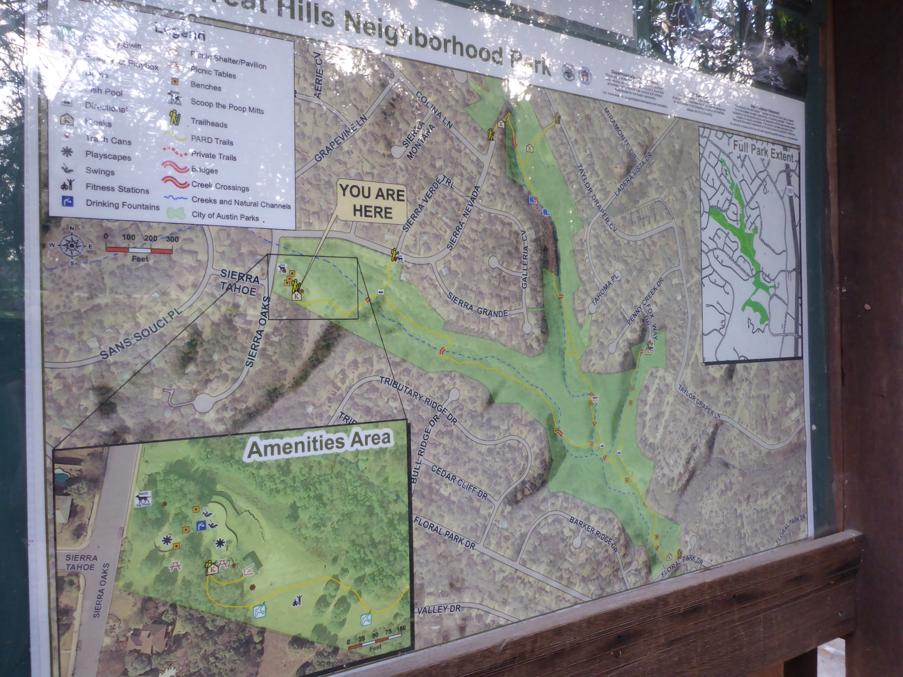
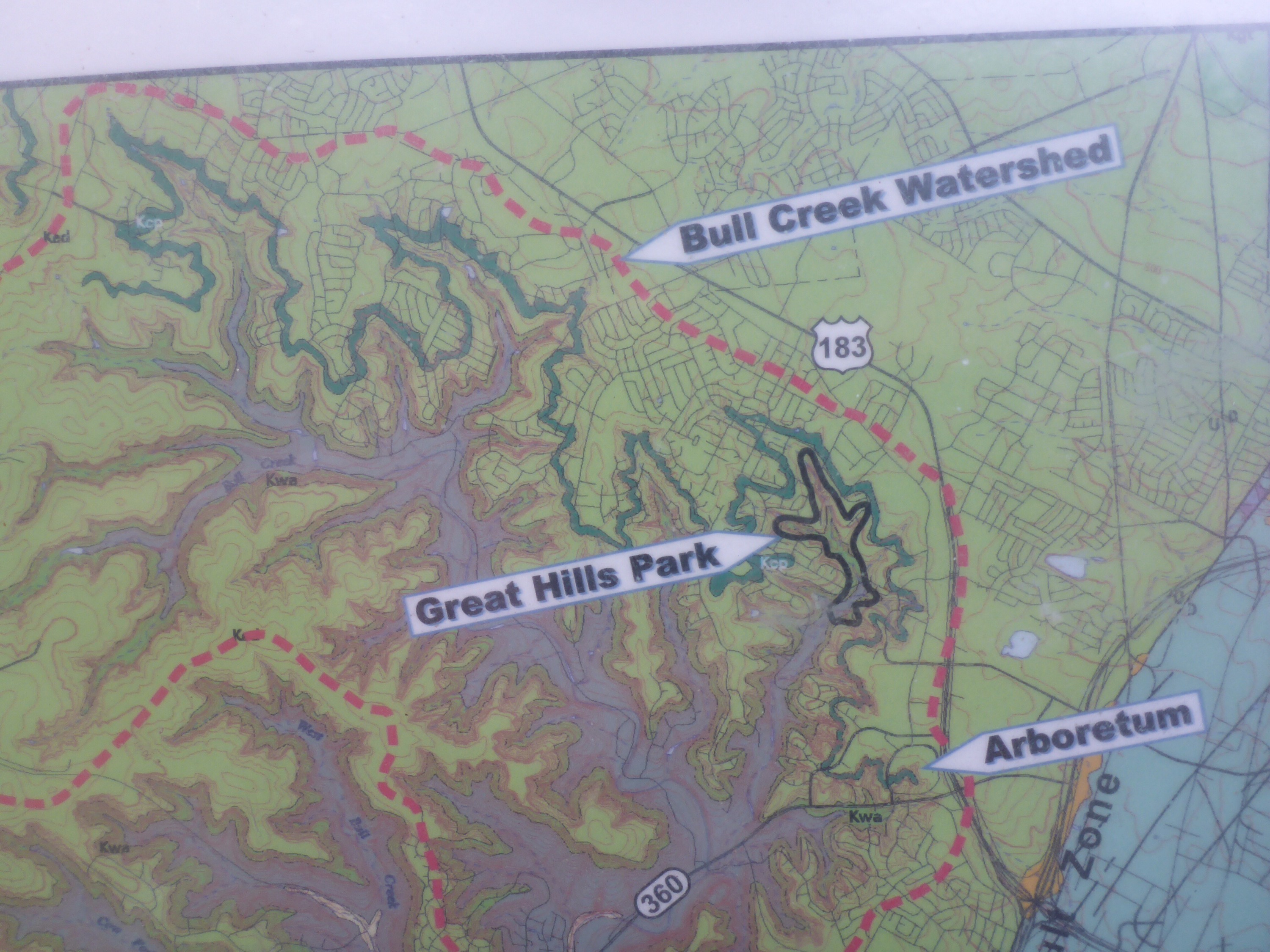
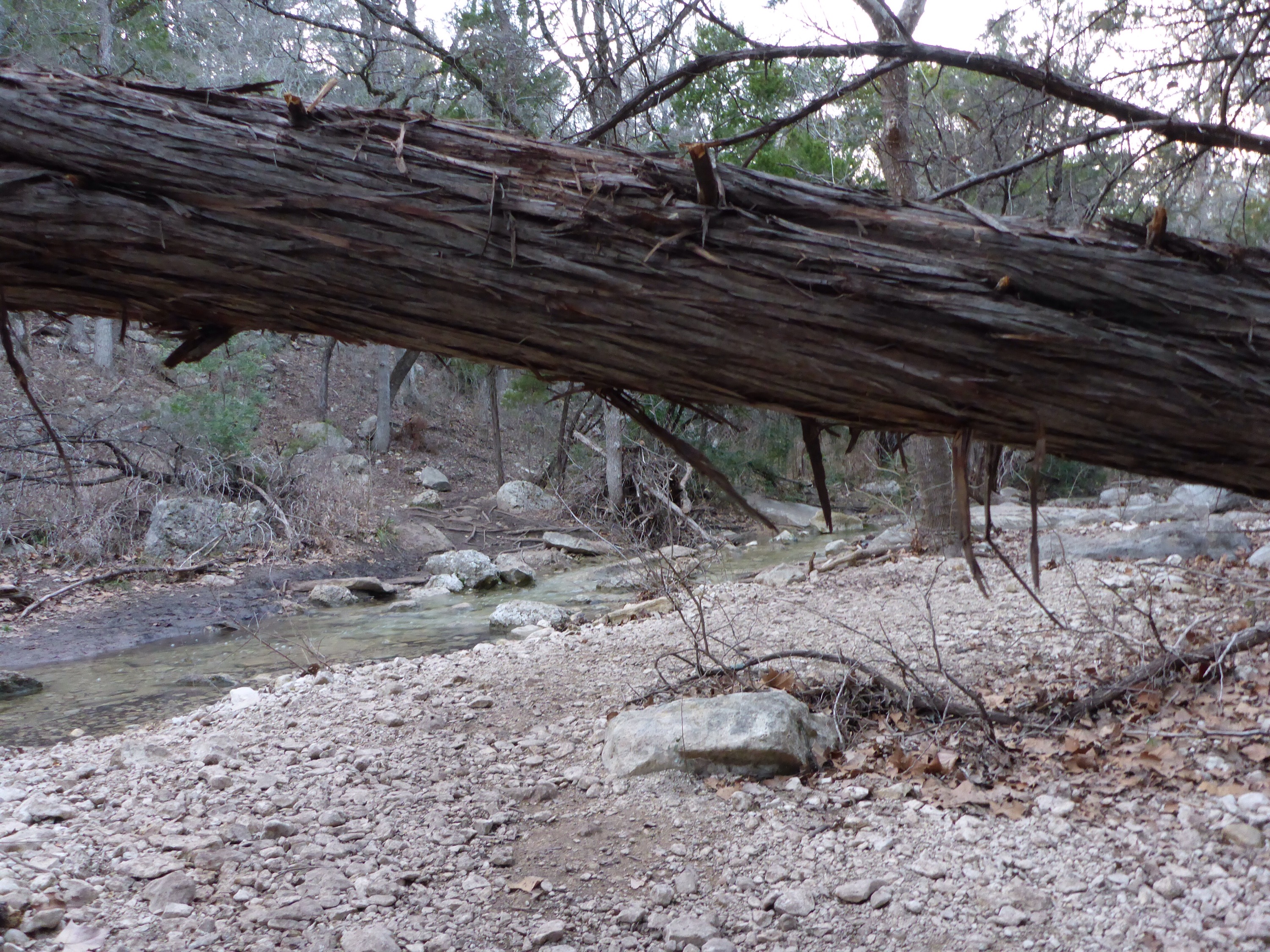
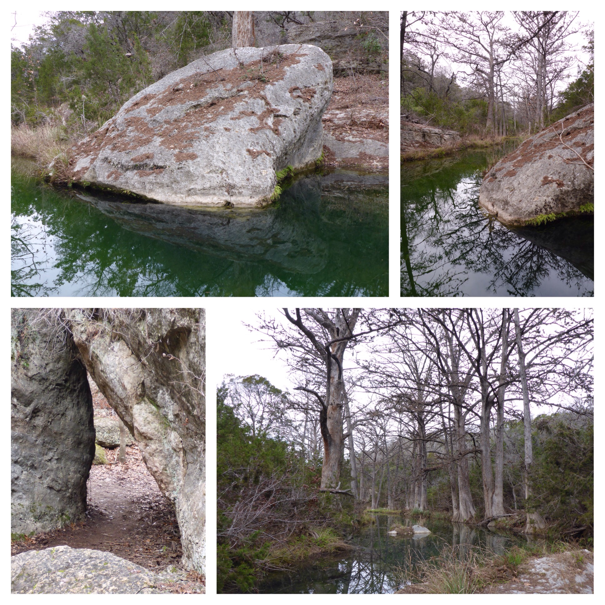
The trails in St. Edwards Park are pretty easy to navigate.  They are marked with colors – red, blue, green, orange, yellow, brown, and purple.  The only thing that can get you turned around are the multitude of smaller side trails, so beware.  Just keep your bearings by the ridge, the creek, the fields, and the road.  If you get turned around, head down the hill, cross the creek, walk through the field towards the traffic sounds of the road.  ðŸ™‚

IMG_4305

IMG_4306

Great Hills Park – Trail Map

IMG_3804

I went out to Great Hills Park after work this evening expecting a short hike. It turned out to be a 2.7 mile exploration of the area, and I would have loved to ramble further if I hadn’t run out of daylight. The main trail goes up and down some hills and crosses the creek several times. This would be a great summertime hike, as the trails are mostly shaded by the surrounding trees. I will definitely return to explore some more!

IMG_3802

IMG_3803

Turkey Creek Trail – Hike

IMG_3644

This trail can be found on the right just as you round a bend and cross over a narrow bridge on City Park Road. The trailhead parking is before the ranger booth for Emma Long Metropolitan Park. The hike consists of several creek crossings, and a climb to the top of a small ridge. The area is currently leash free, so expect to encounter lots of wet dogs roaming the trail. I tried – and mostly succeeded – to keep out of the creek while hopping from rock to rock. I got to see the sunset from the ridge top and then had a dark hike while trying to find my way out. I didn’t get eaten by monsters, so all is good. 🙂

IMG_3645

IMG_3650

Hamilton Pool – Waterfall Hike

2015/01/img_3485.jpg

Hamilton Pool is less than an hour outside of Austin, and a very popular swimming hole and hiking spot. A short quarter mile hike down some steps from the parking lot and you will be greeted with a nice view of the collapsed grotto and 50 foot waterfall. Take the trail around the grotto and enjoy the scenery. The beach there is a great spot to throw out a blanket and have a picnic lunch.

2015/01/img_3486.jpg

2015/01/img_3494.jpg

Hill of Life – Hike to Sculpture Falls

2015/01/img_3456.jpg

Due to the cold, wet weather and the late start for my hike, I kept it fairly short (a little over 3 miles round trip). Once you reach the 6.25 mile marker, you will begin to hear the splashing water of Sculpture Falls. Follow your ears, and you will be rewarded with one of Austin’s best free swimming holes. If we have had a recent rain, the water will be clear, cool, and inviting. This is a great picnic spot on a nice warm day (unlike the day we experienced today). 🙂

2015/01/img_3457.jpg

2015/01/img_3462.jpg

Hill of Life – Trail Map

2015/01/img_3450.jpg

After work today, I drove over to the Barton Creek Greenbelt to hike the Hill of Life. Conditions were less than grand, with the temperature at 37 degrees and an overcast sky with intermittent sprinkles. The good news was that there were only a few people on the trail. The Hill of Life is a great workout – I climbed 551 feet on the trail according to the GPS on my phone. Despite the cold weather, I had to shed my jacket before I got back to the top of the Hill. It was awesome!

2015/01/img_3449.jpg

2015/01/img_3455.jpg