Enchanted Rock – Echo Canyon Trail

IMG_3372

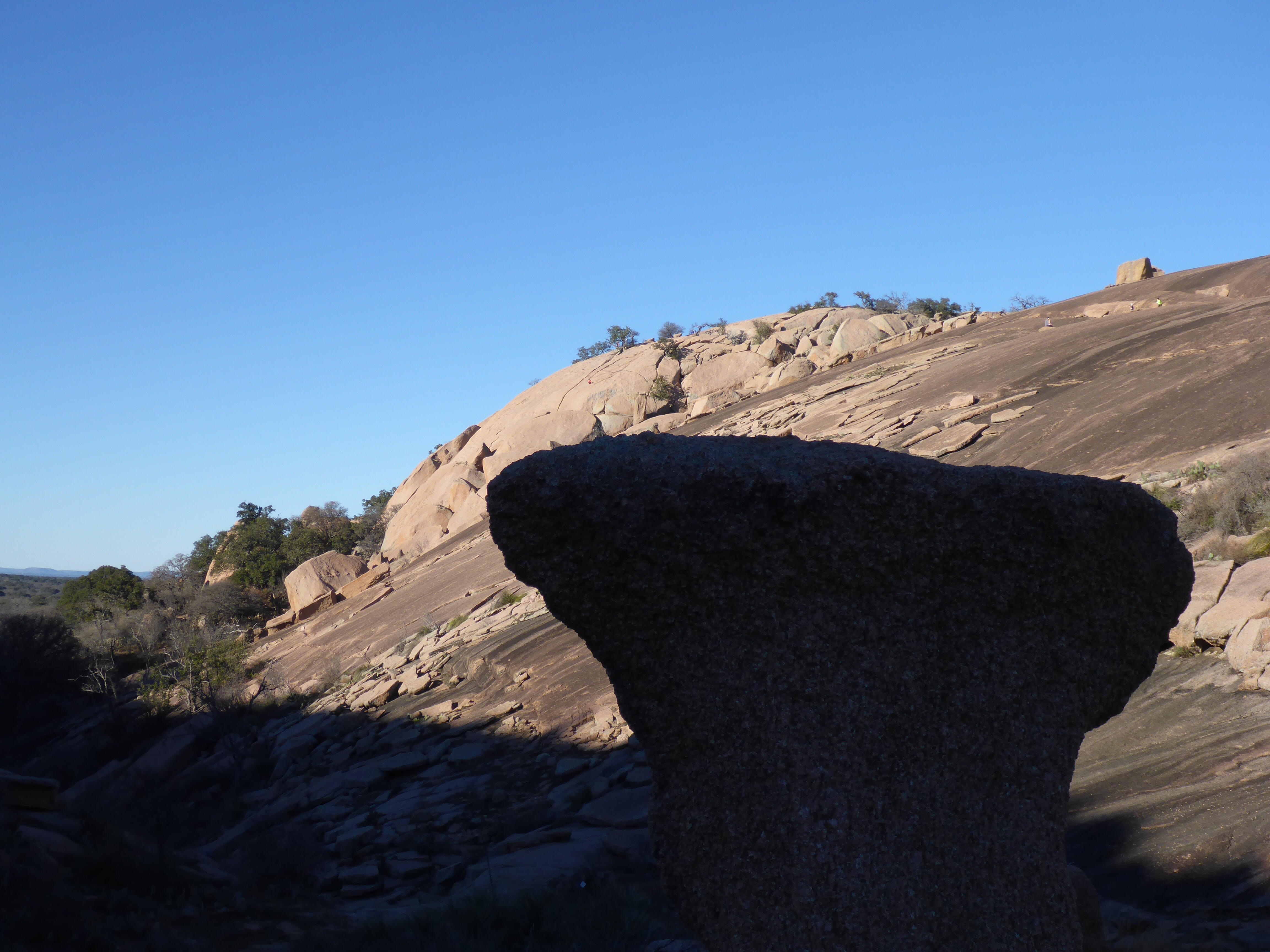
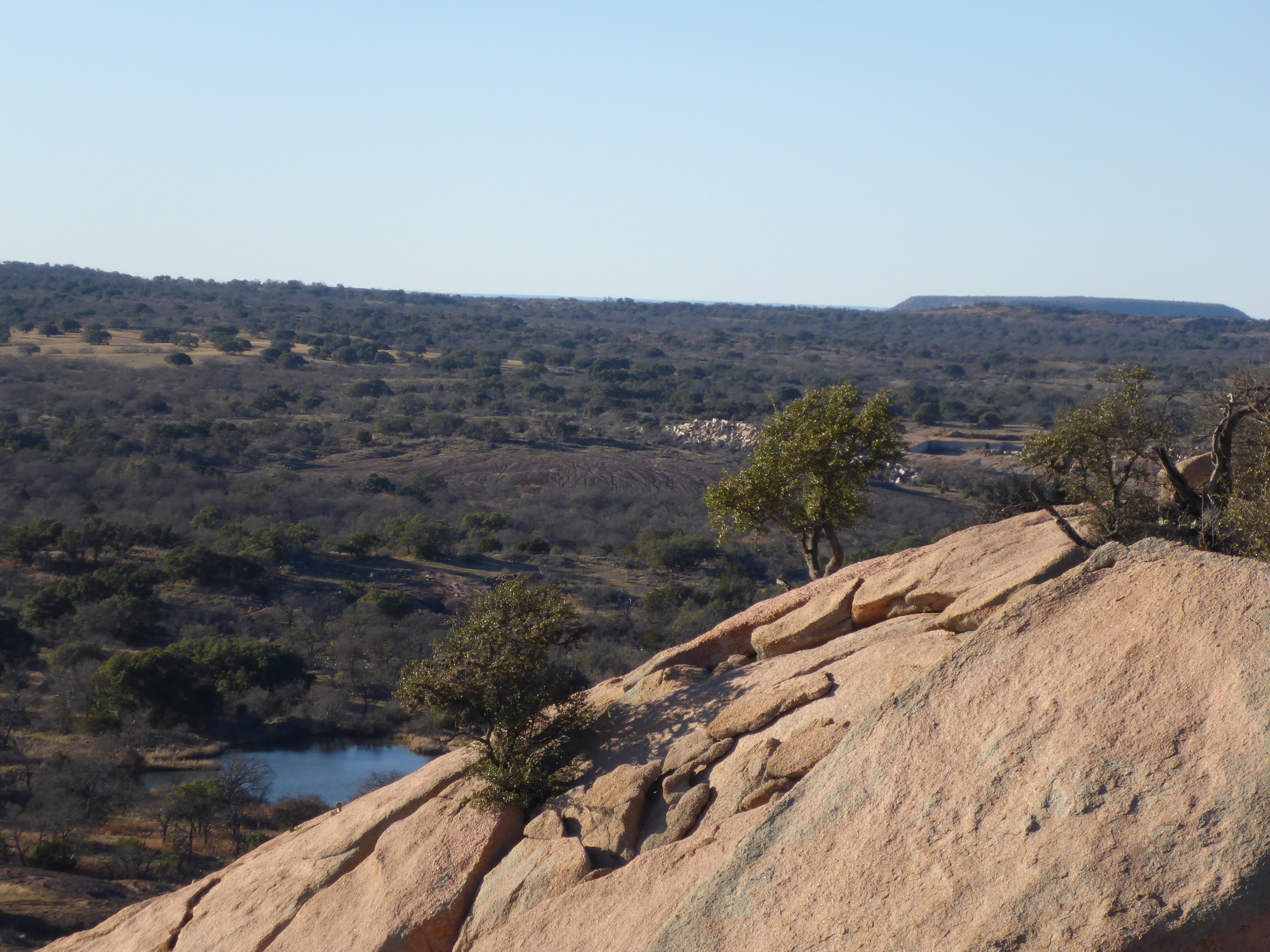
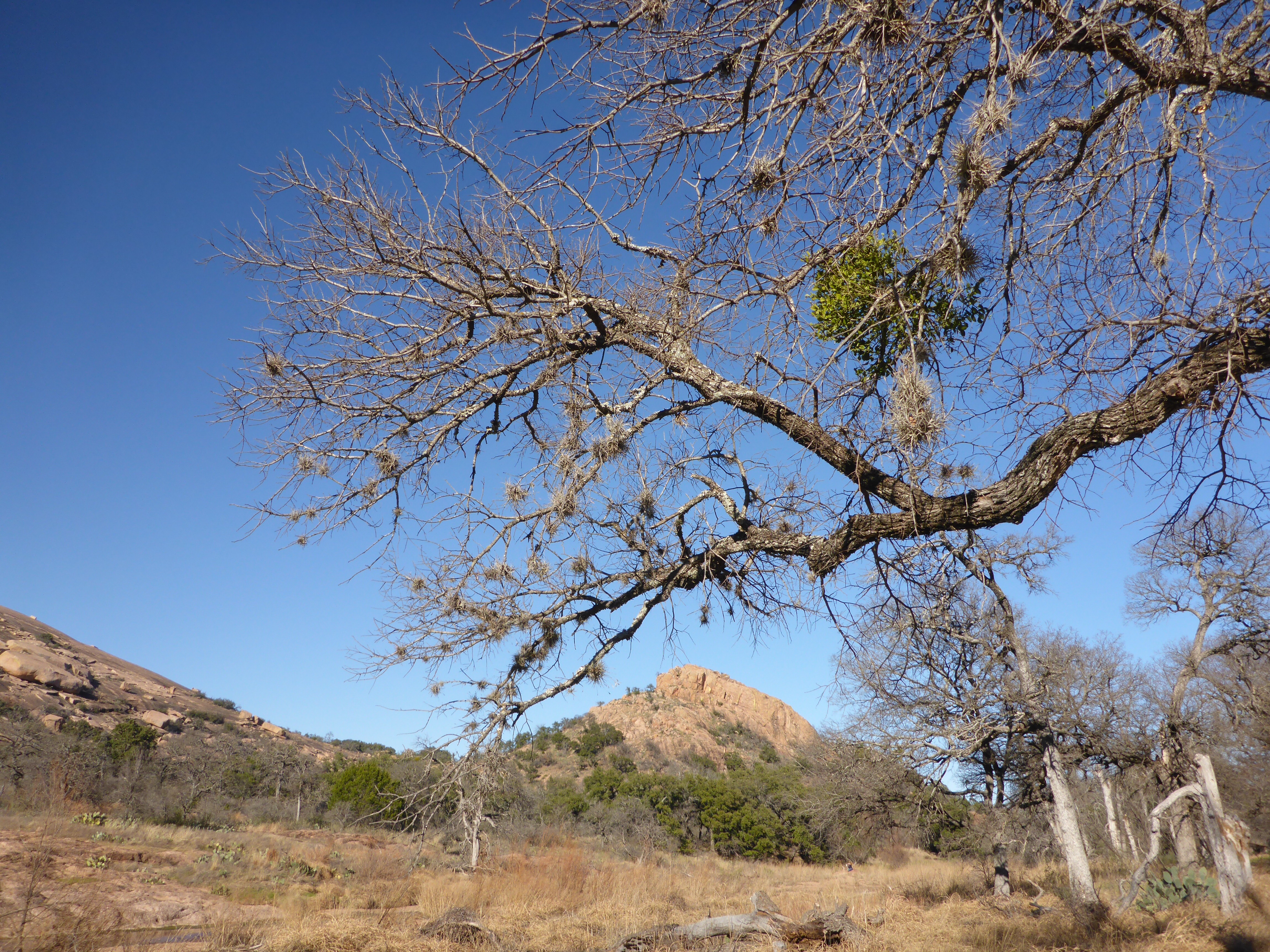
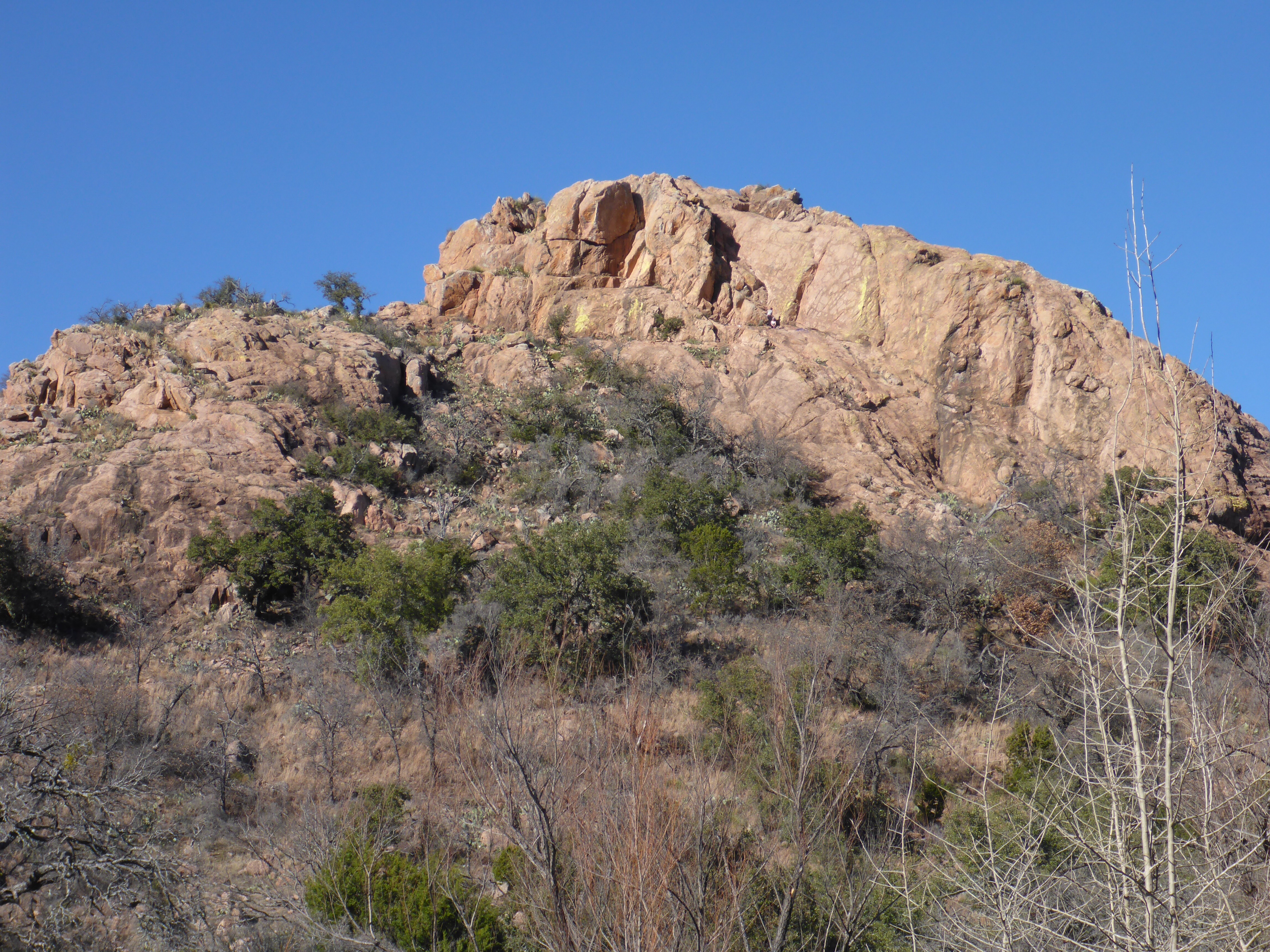
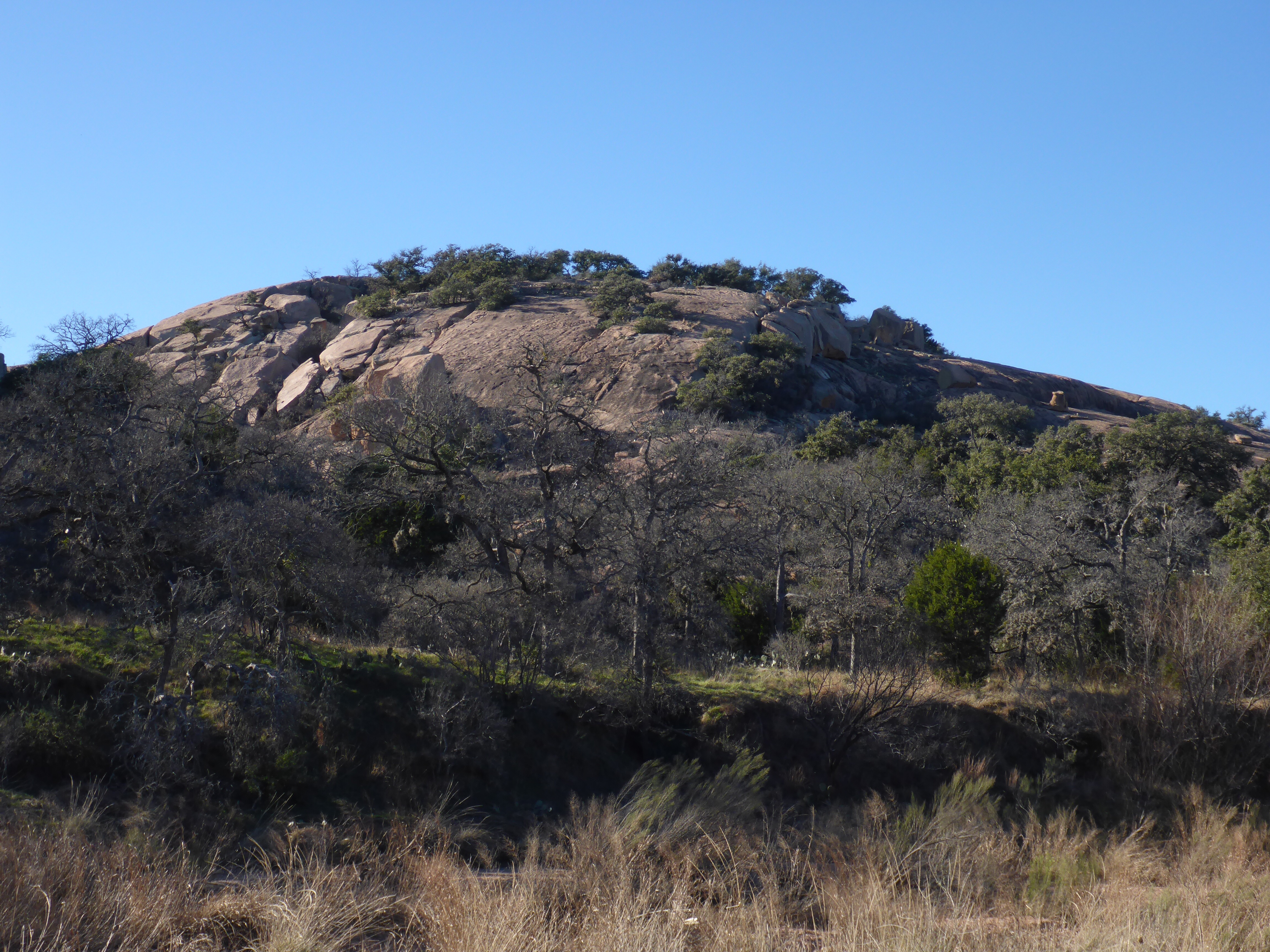
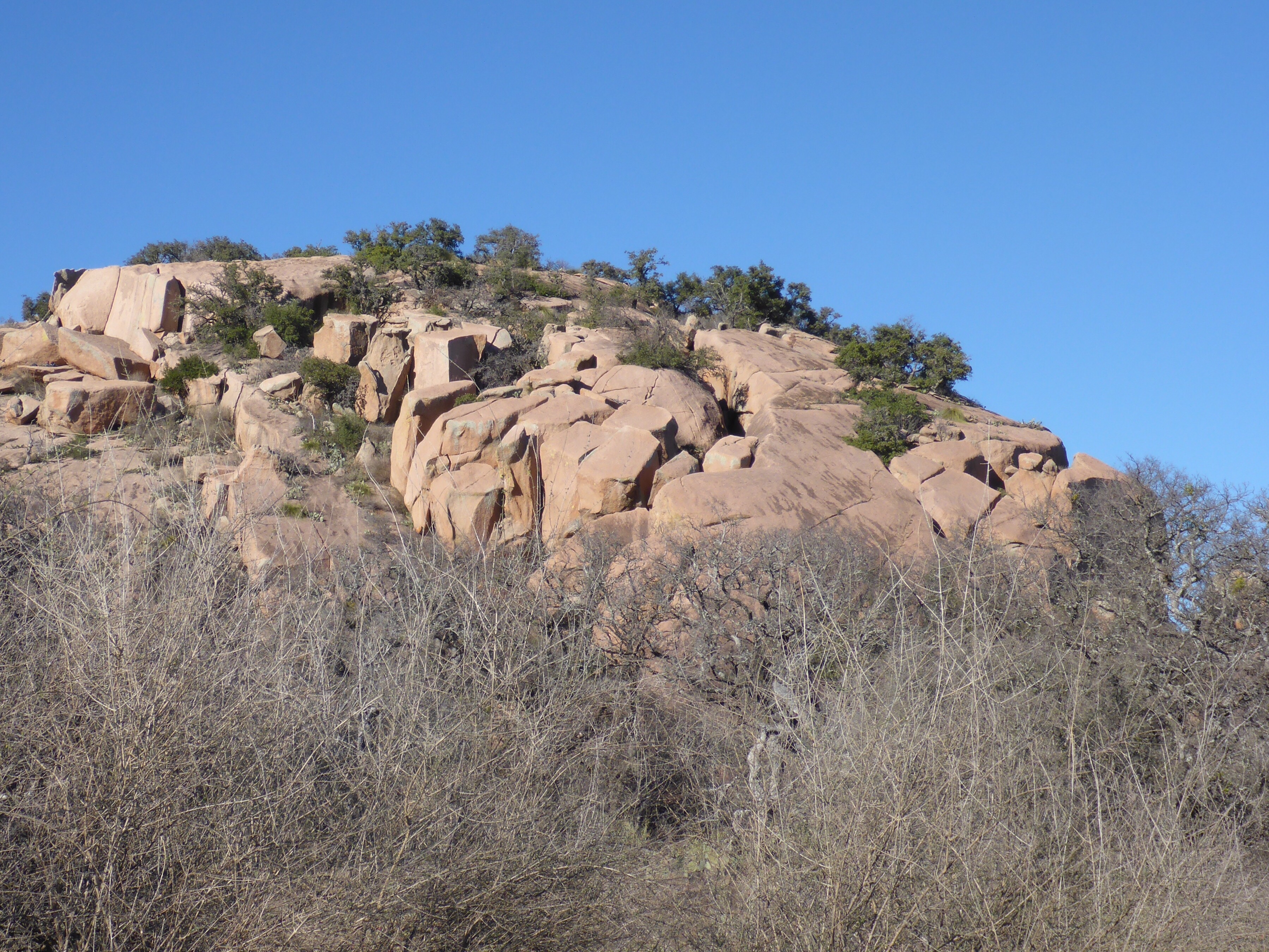
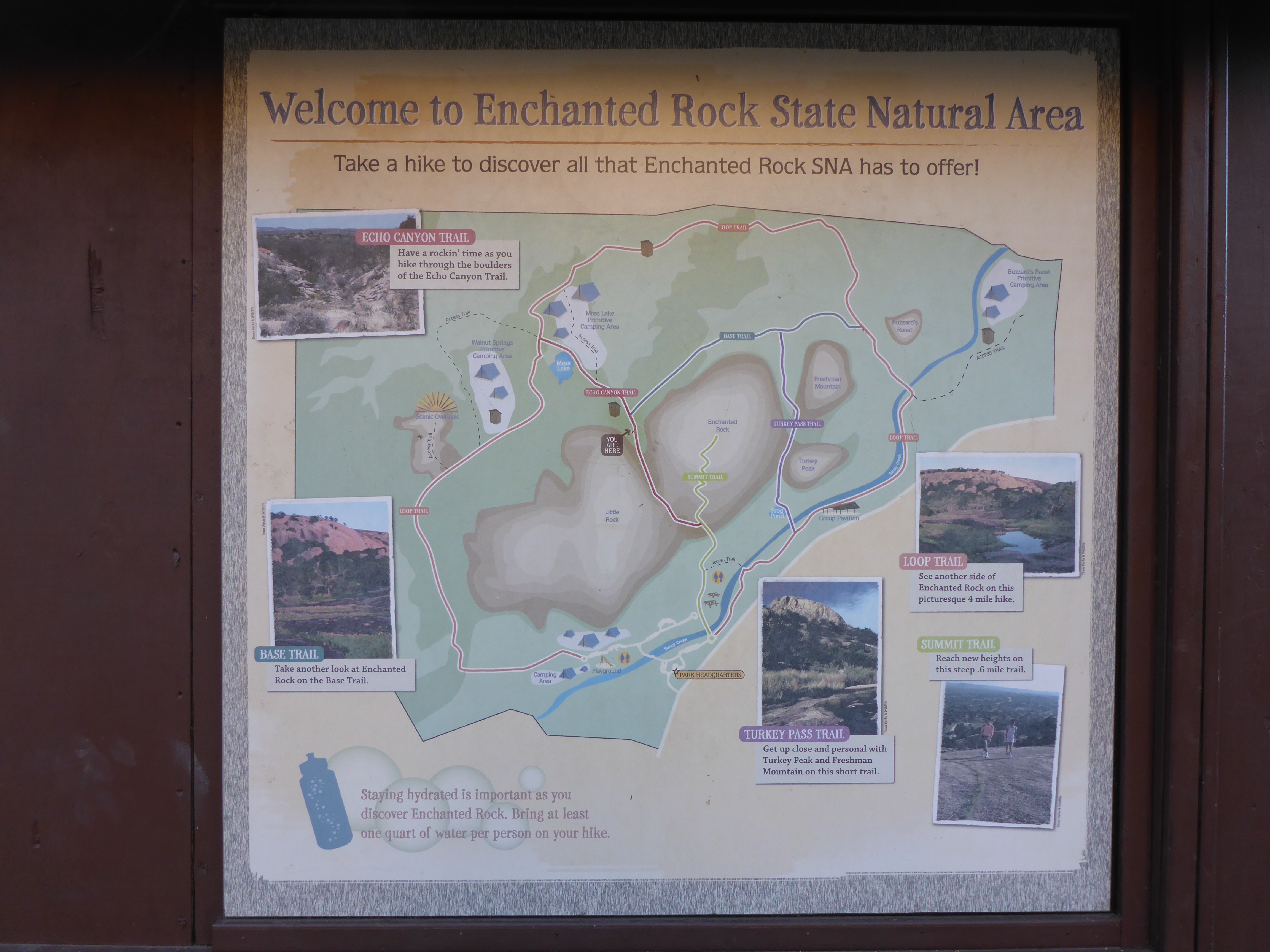
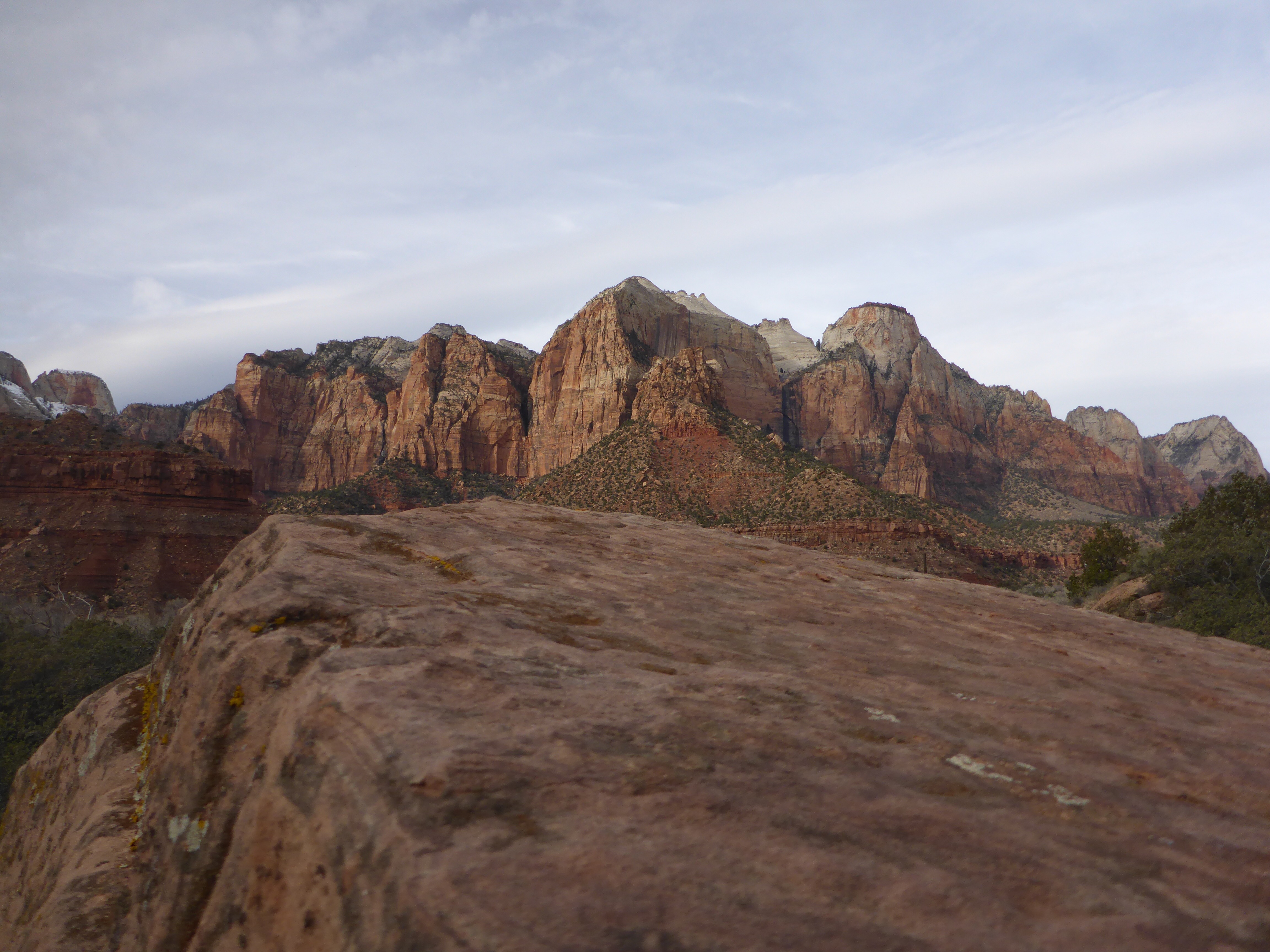
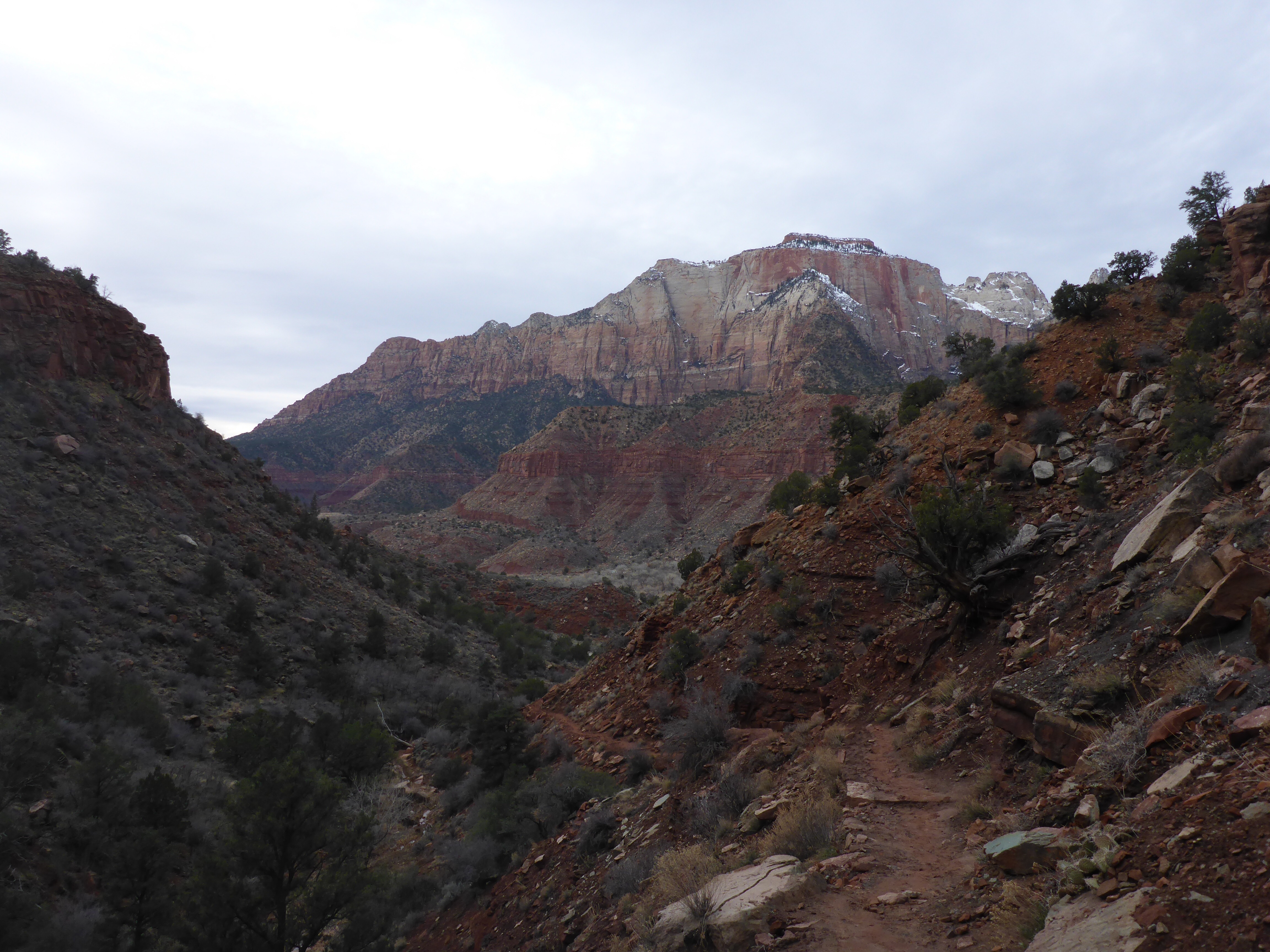
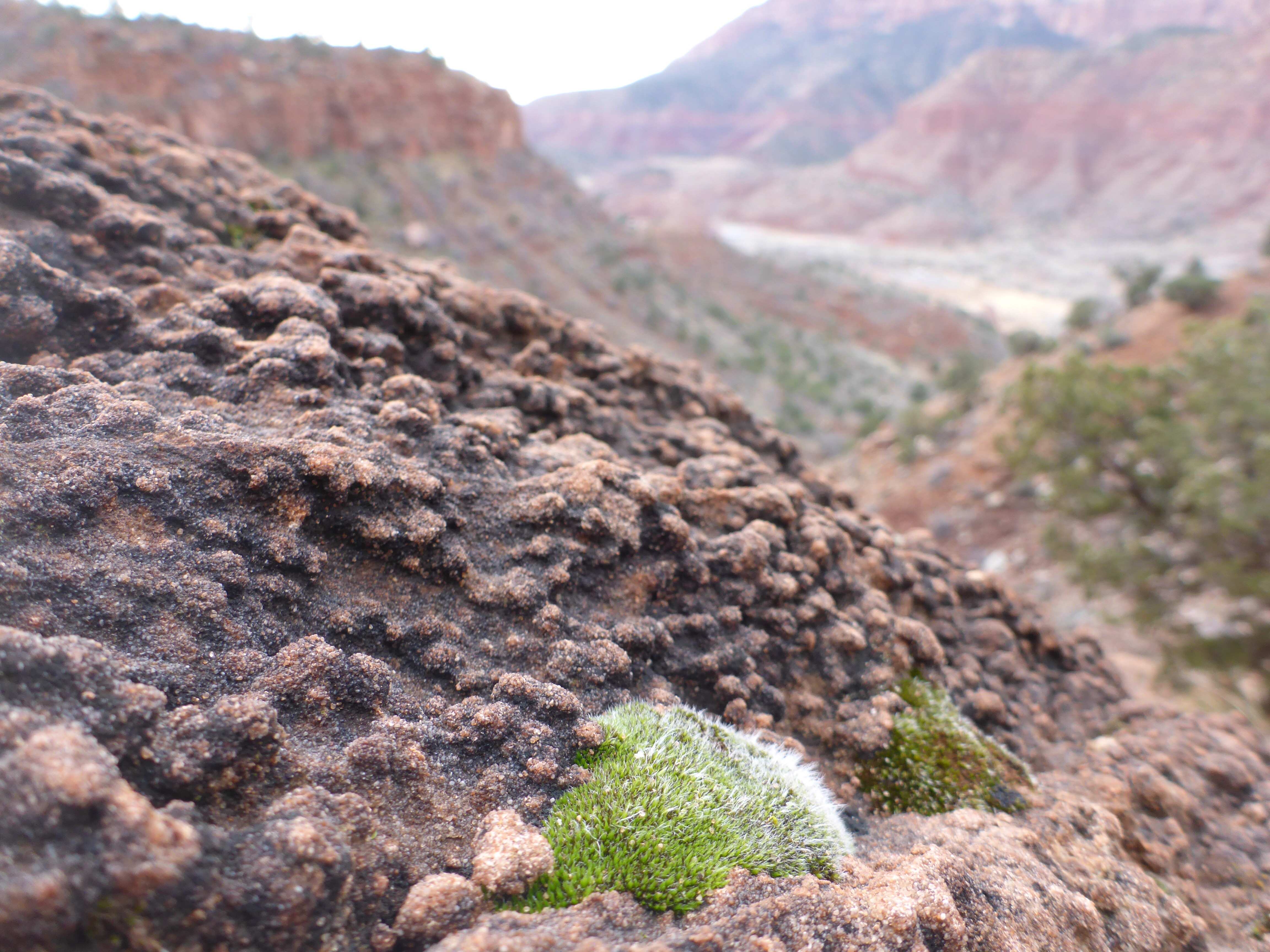
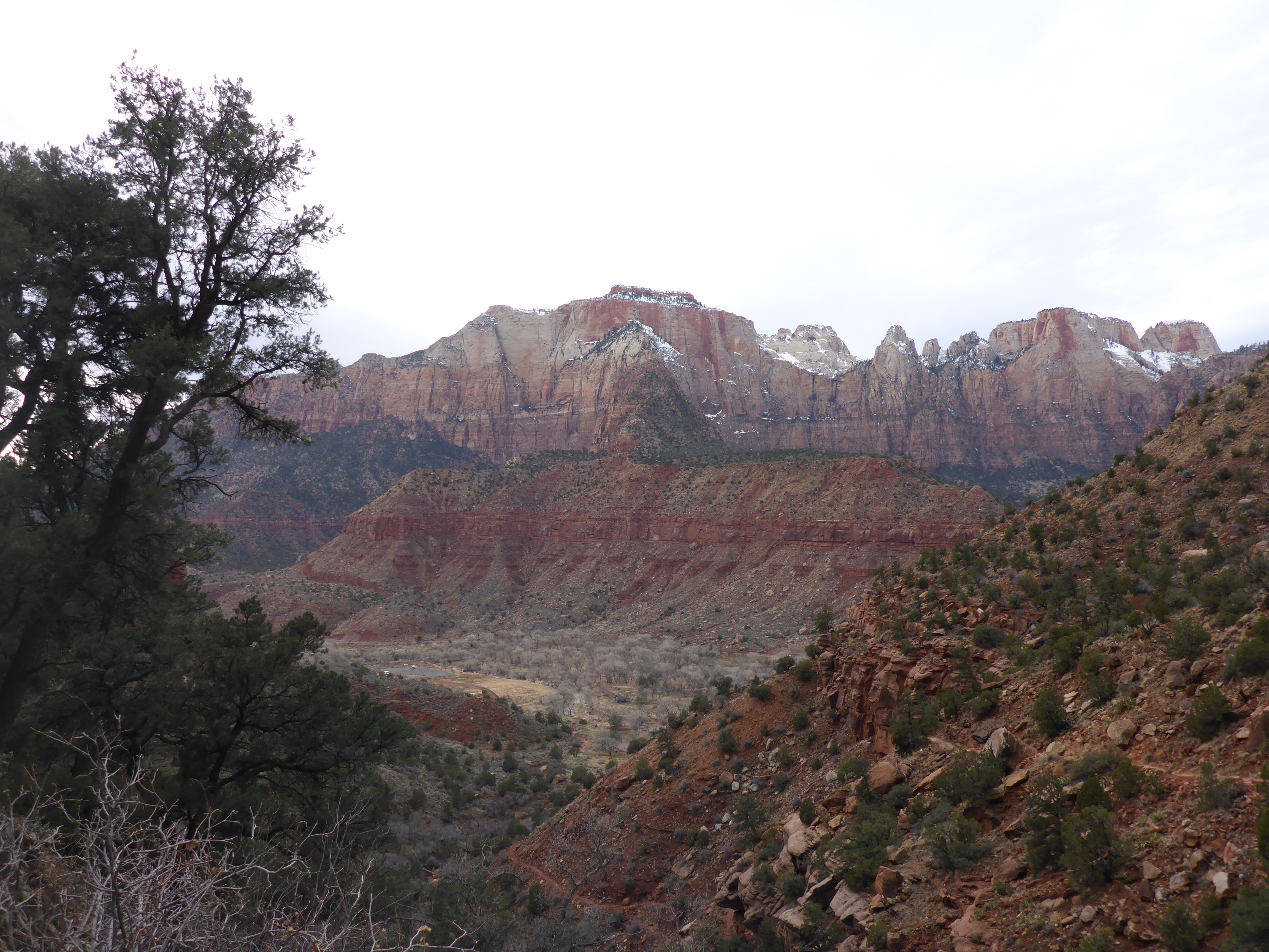
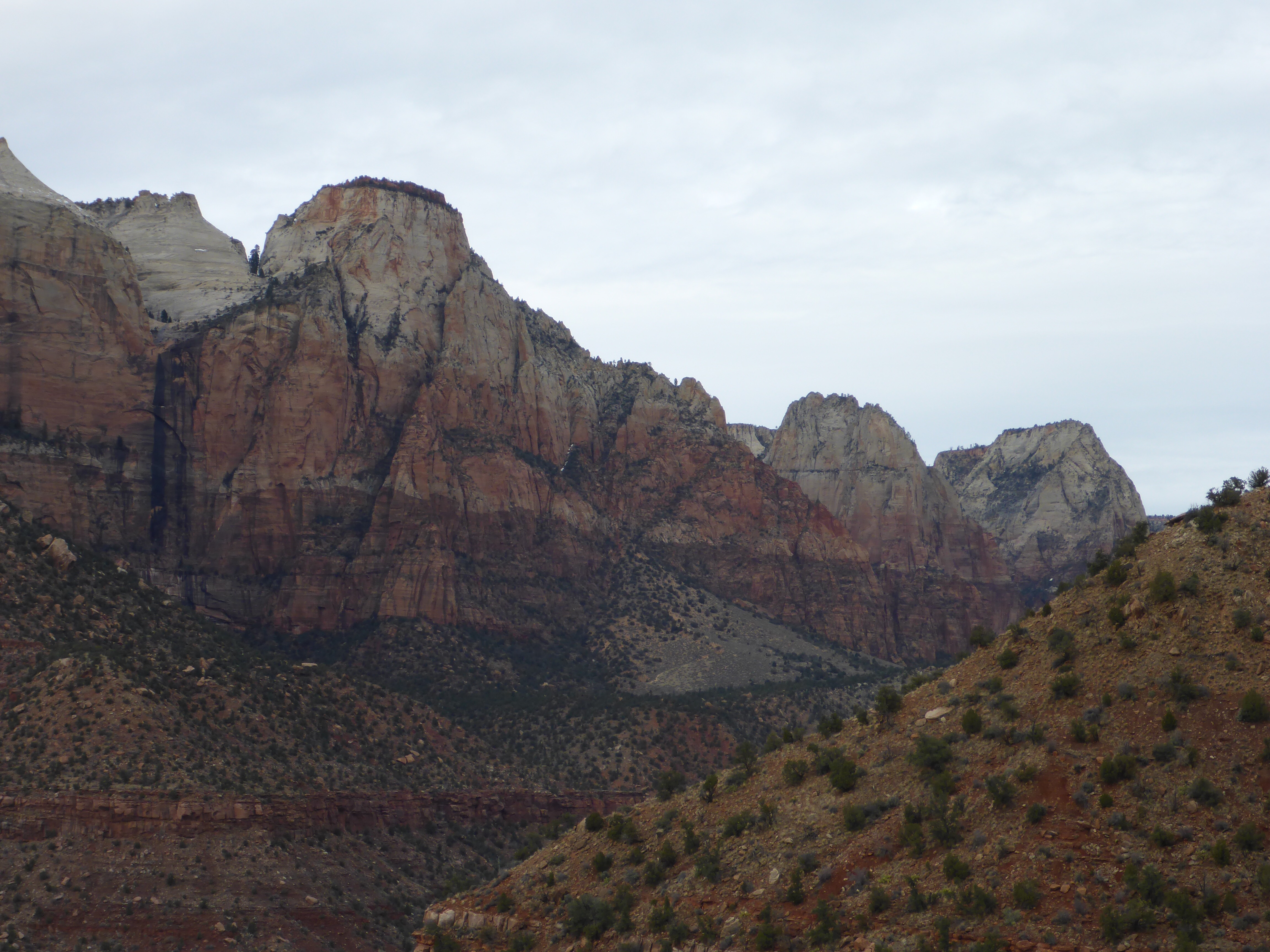
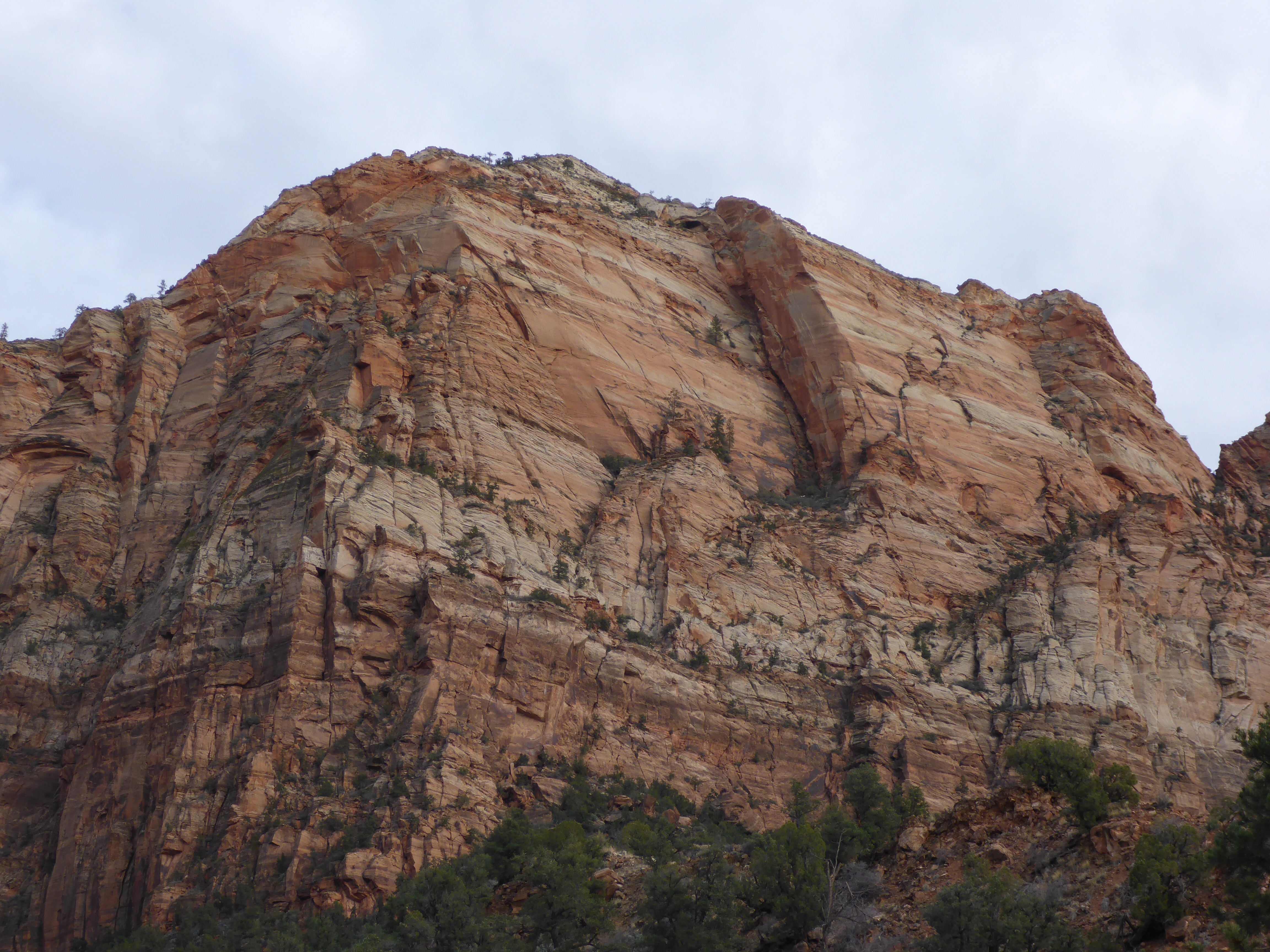
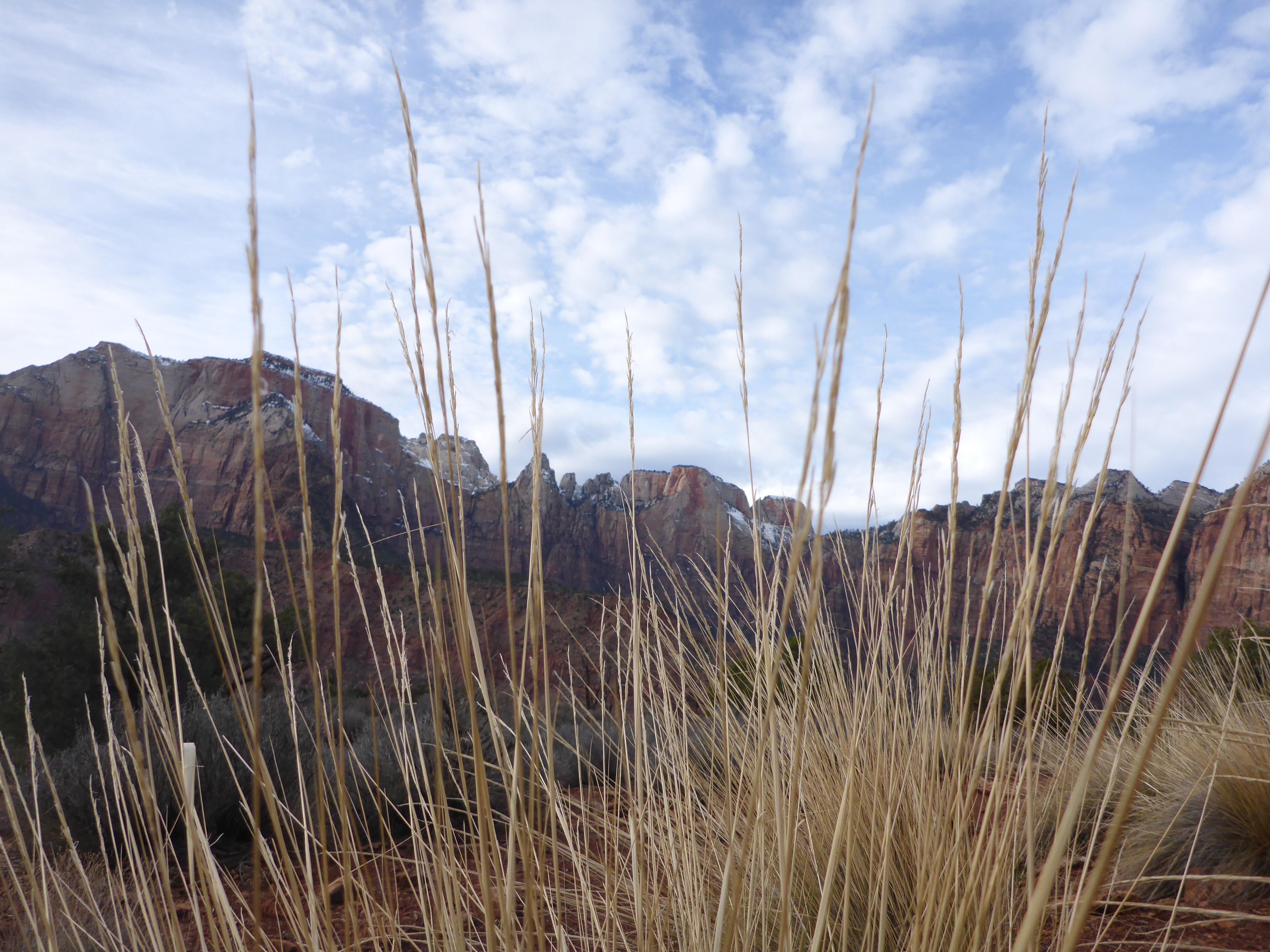
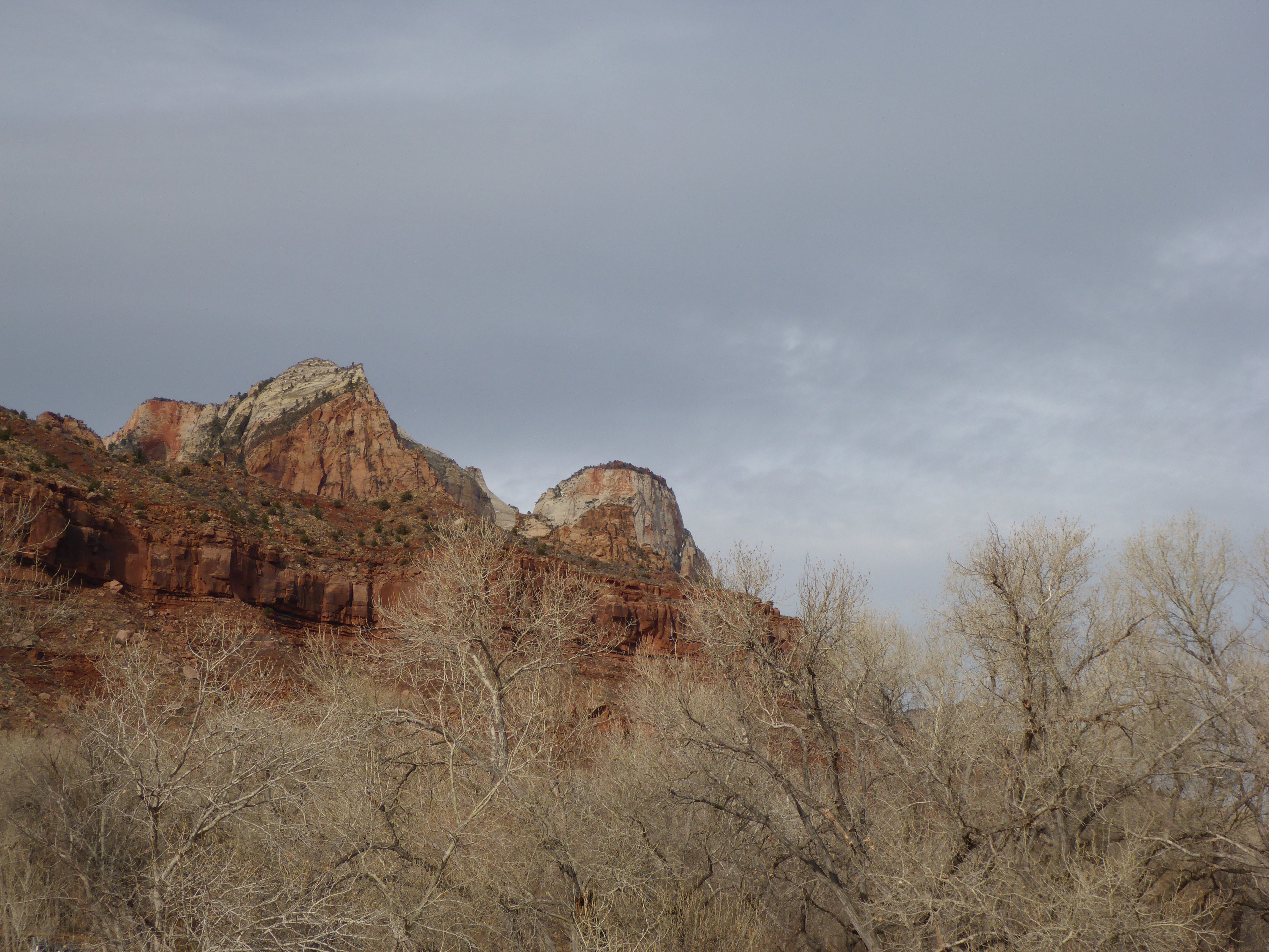
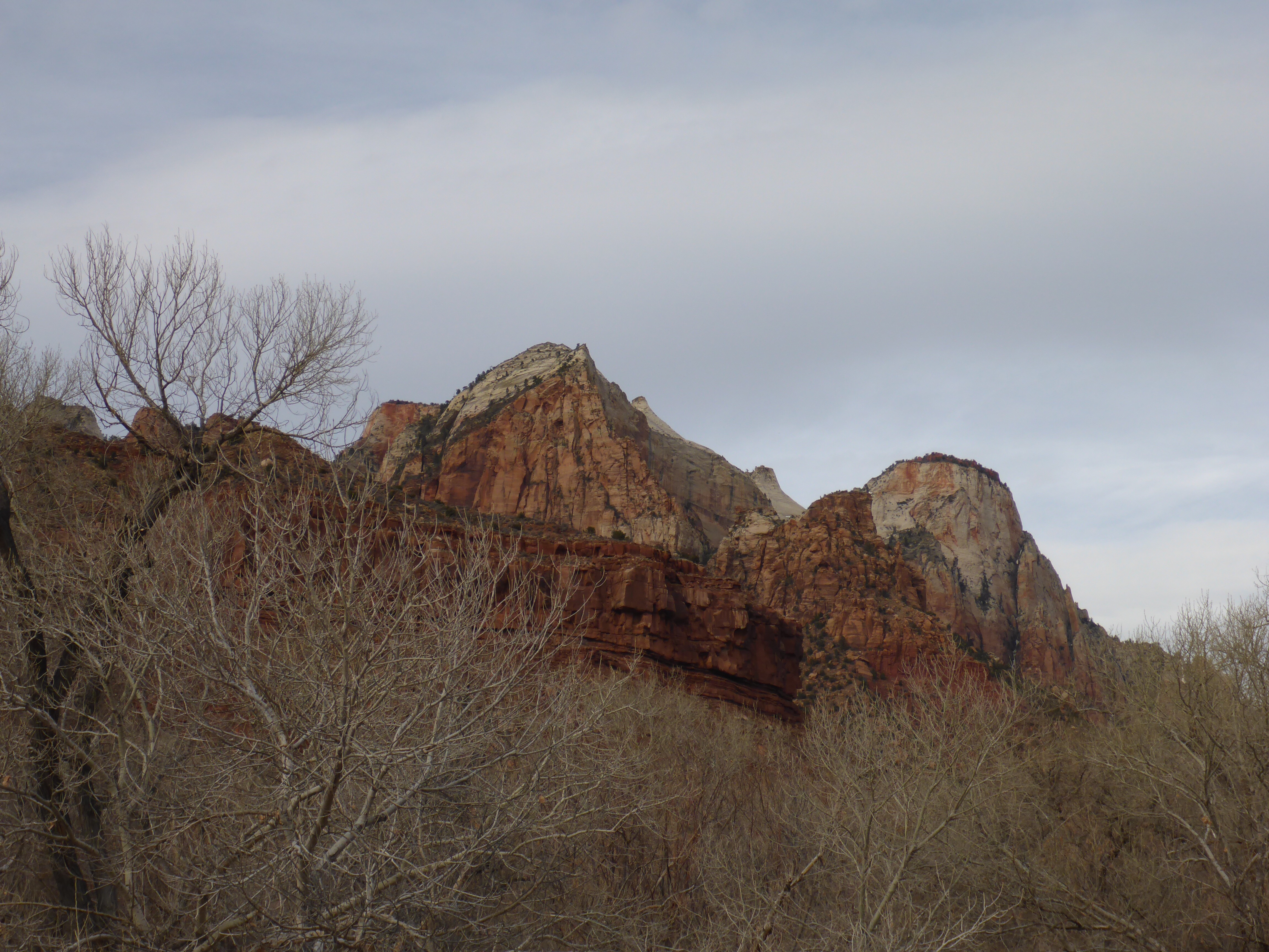
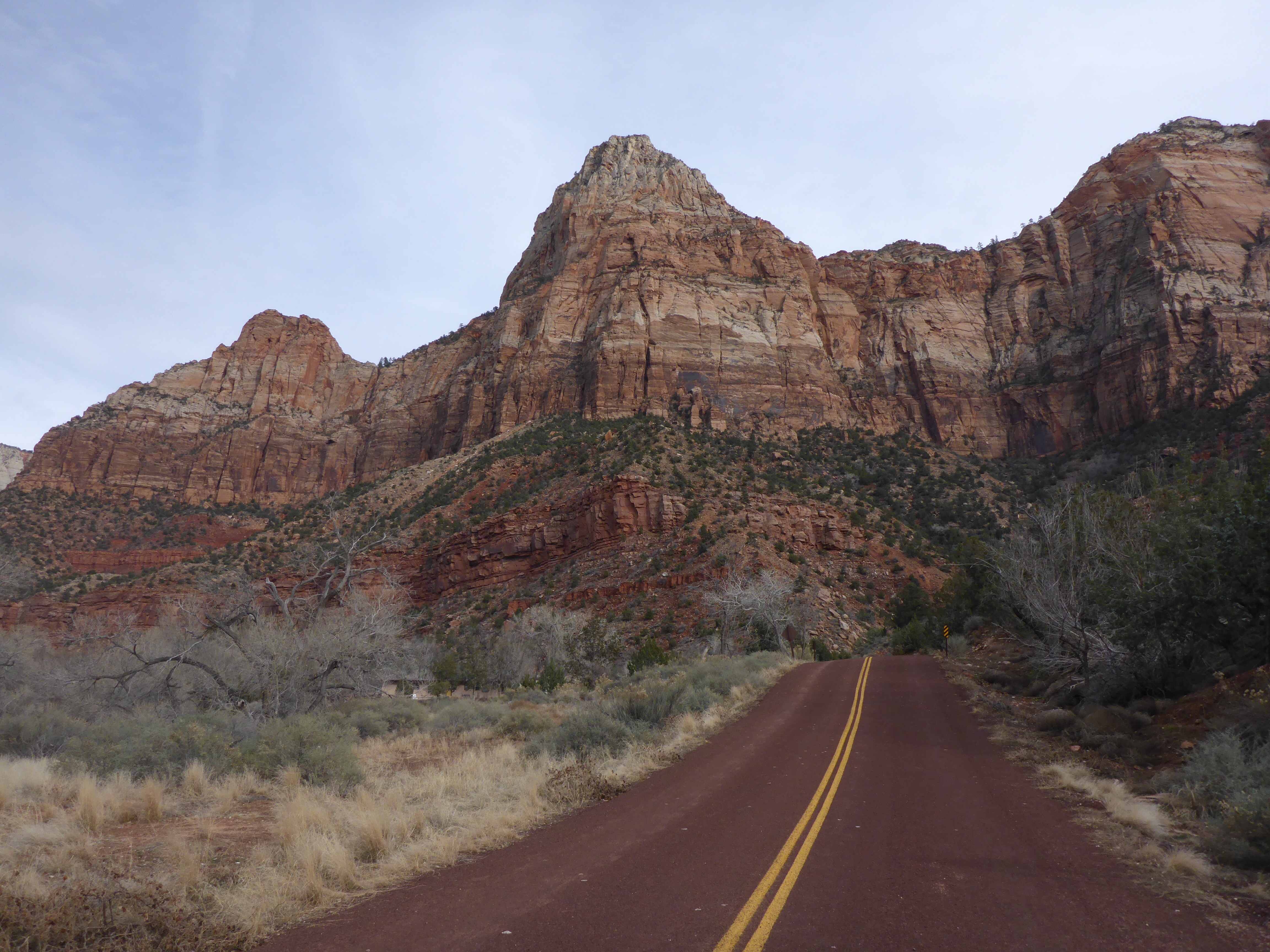
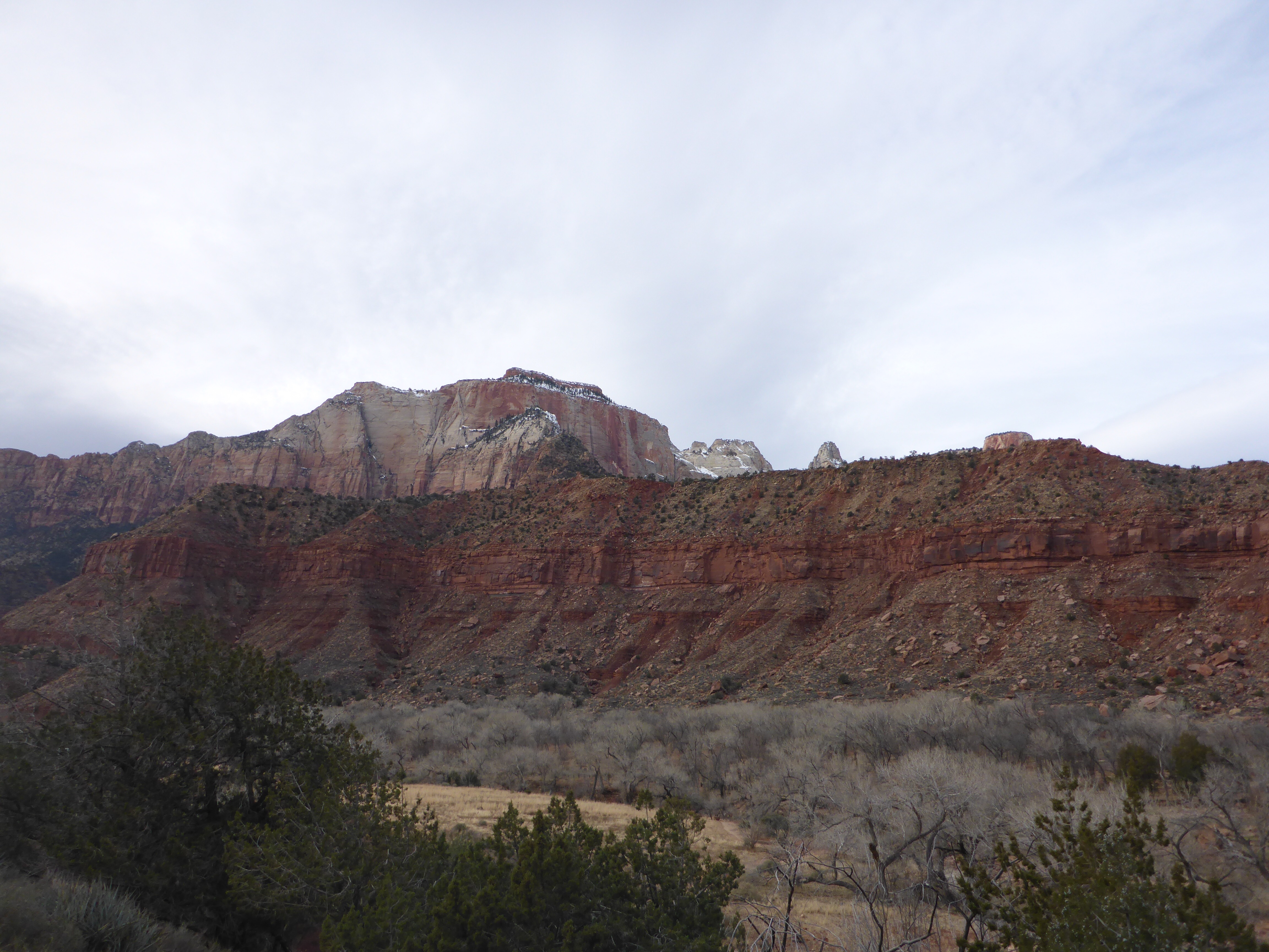
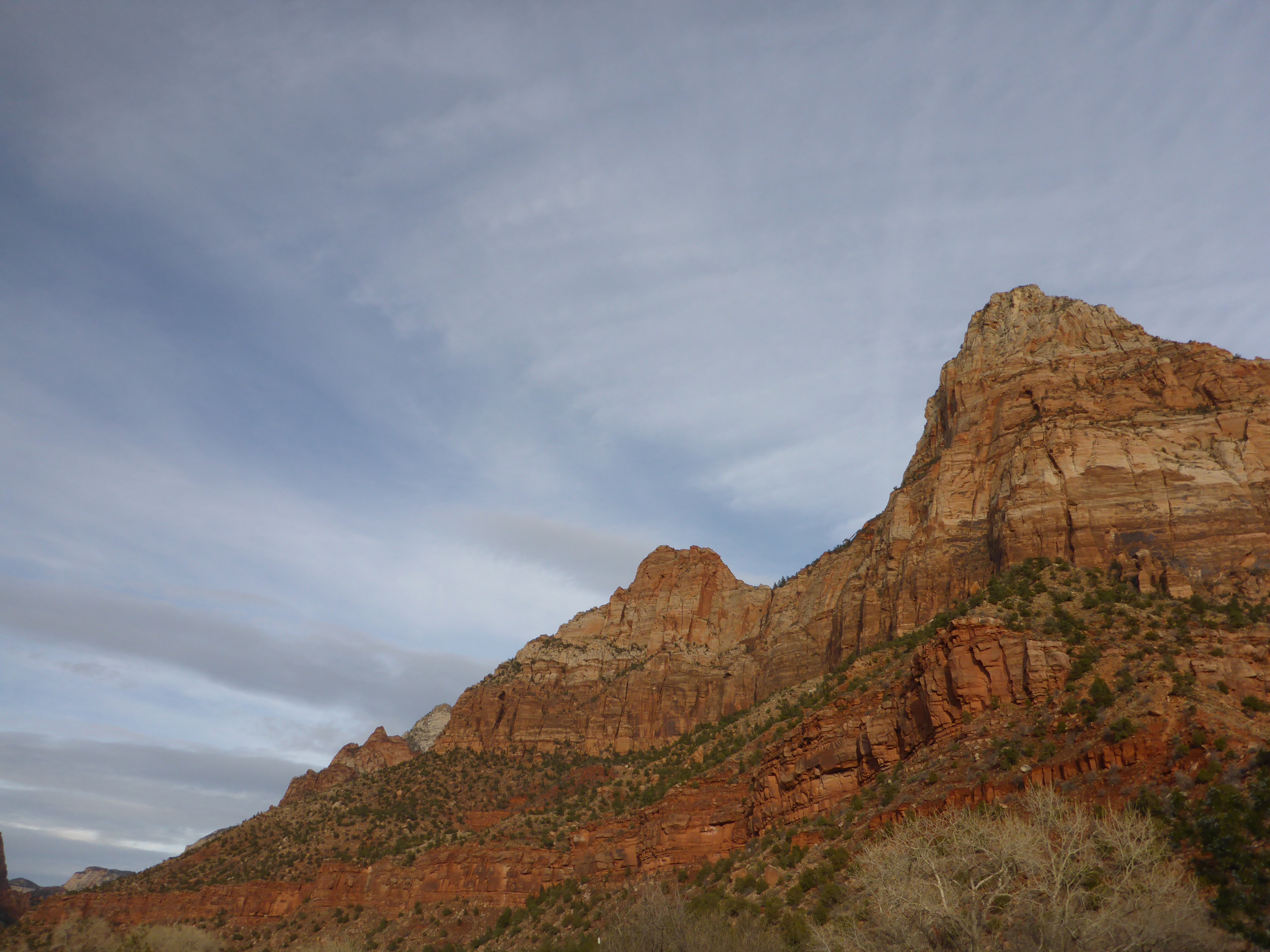
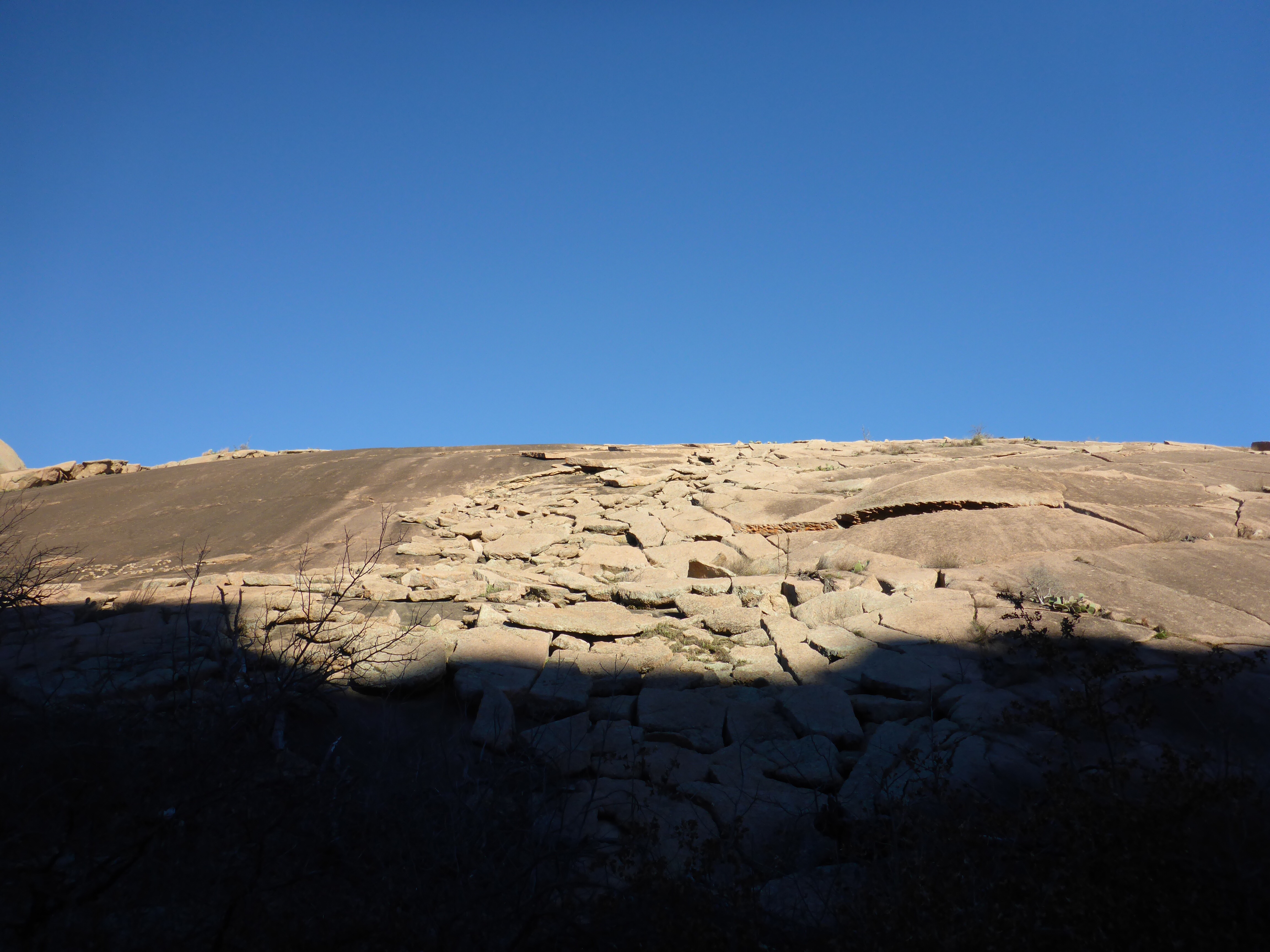
Echo Canyon Trail is the fun part where you get to do some work.  You scramble across boulders and enjoy the canyon views as you make your way to the summit of Enchanted Rock.  At almost any point on this trail, you can launch yourself on a granite hike directly up the sloping side of Enchanted Rock.

IMG_3373

IMG_3374

IMG_3375

IMG_3376

IMG_3377

Enchanted Rock – Base Trail

IMG_3368

Turning off of the easy Loop Trail for the more challenging, but still not difficult, Base Trail, turned me directly into the sun and started me on a climb.  This trail runs alongside the back of Enchanted Rock, for views that most visitors don’t see.  I think the majority of people are here for the hike up the summit, and may not realize how much fun the rest of the trails are at Enchanted Rock.

IMG_3369

IMG_3370

IMG_3371

Enchanted Rock – Loop Trail

IMG_3357

My plan this trip was to take the Loop Trail to the northeast side of the Park.  From there, I would meet up with the Base Trail, then to the Echo Canyon Trail and up to the Summit.  This section of the Loop Trail is just over a mile long, is mostly sandy, and crosses the Sandy Creek a few times.  It is a beautiful hike on sunny, cool days.

IMG_3358-1

IMG_3359

IMG_3360

IMG_3361

IMG_3362

IMG_3363

IMG_3364

IMG_3365

IMG_3366

IMG_3367

Enchanted Rock – Trail Map

IMG_3355

Enchanted Rock is getting so popular, that they run out of parking spots and close the Park for hours at a time.  Make sure you check the website or Twitter account before making the drive out there.  I was lucky and the Park was reopened shortly after my afternoon arrival.  Here is a trail map to ponder along with some photos of the pink granite dome to give you an idea of the size of things.

IMG_3354

IMG_3356

Watchman Trail – Trail Map

IMG_3242

The Watchman Trail is listed as a moderate hike in the Zion National Park Hiking Guide with a distance of 3.3 miles and an elevation change of 368 feet.  I think a lot of people may take a pass on this trail because it kicks off right from the Visitor Center.  However, I liked the trail and its scenic views of the Zion Canyon and beyond. Here is the Trail Map and several photos taken from ground level or from a very low elevation at the beginning of the hike.  As you may know by now, Zion National Park is a beautiful place.

IMG_3250

IMG_3234

IMG_3235

IMG_3249

IMG_3248

IMG_3247

IMG_3246

IMG_3245

IMG_3244

IMG_3243

IMG_3241

IMG_3240

IMG_3239

IMG_3238

IMG_3237

IMG_3236

Skyline Drive Trail – Hike

IMG_2656

What a beautiful hike in a little bit of rainy weather.  There were views all around, including sights of the Indian Lodge far off in the canyon.  A short climb to the Keesey Canyon Overlook was very rewarding with scenic views of the entire area.  I would like to return to the Davis Mountains State Park for some more hikes in the future.  Here is a link to the Trail Map in case you are curious about the hikes available here.

IMG_2658

IMG_2661

IMG_2662

IMG_2663

IMG_2665

IMG_2666

IMG_2667

IMG_2669

IMG_2670

IMG_2671

IMG_2672

IMG_2675

IMG_2676

IMG_2681

IMG_2682

IMG_2684

Skyline Drive Trail – Trail Map

IMG_2688

Skyline Drive Trail is a scenic hike along the top of a ridge in the Davis Mountains State Park.  The high point on this approximately 2.6 mile hike is the Keesey Canyon Overlook, with grand views of the entire park and beyond.  The Overlook Shelter at the far East end of the trail has a beautiful “picture window” with views of the city of Fort Davis and Hospital Canyon.  There are also several picnic spots here if you prefer to just sit and enjoy the sights and sounds of the Davis Mountains.

IMG_2685

IMG_2692

IMG_2686

IMG_2687

IMG_2689

IMG_2690

IMG_2691

IMG_2693