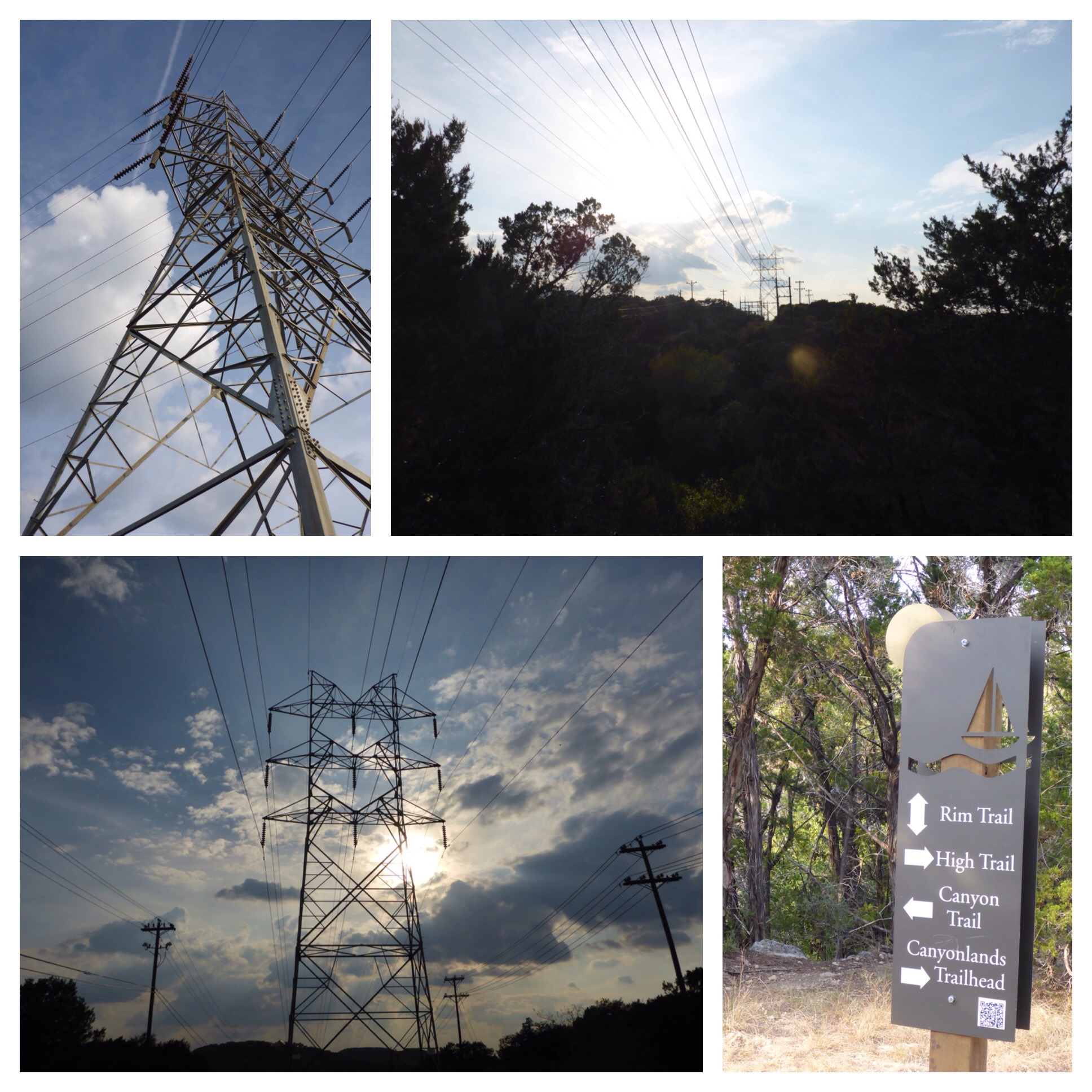
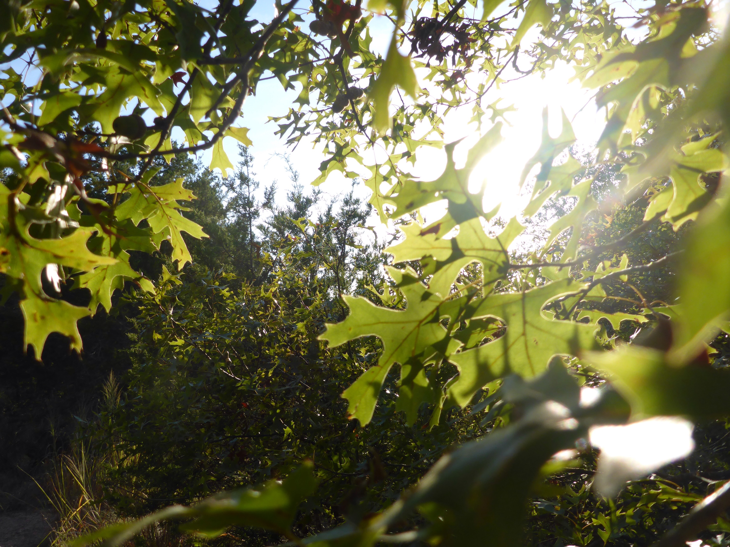
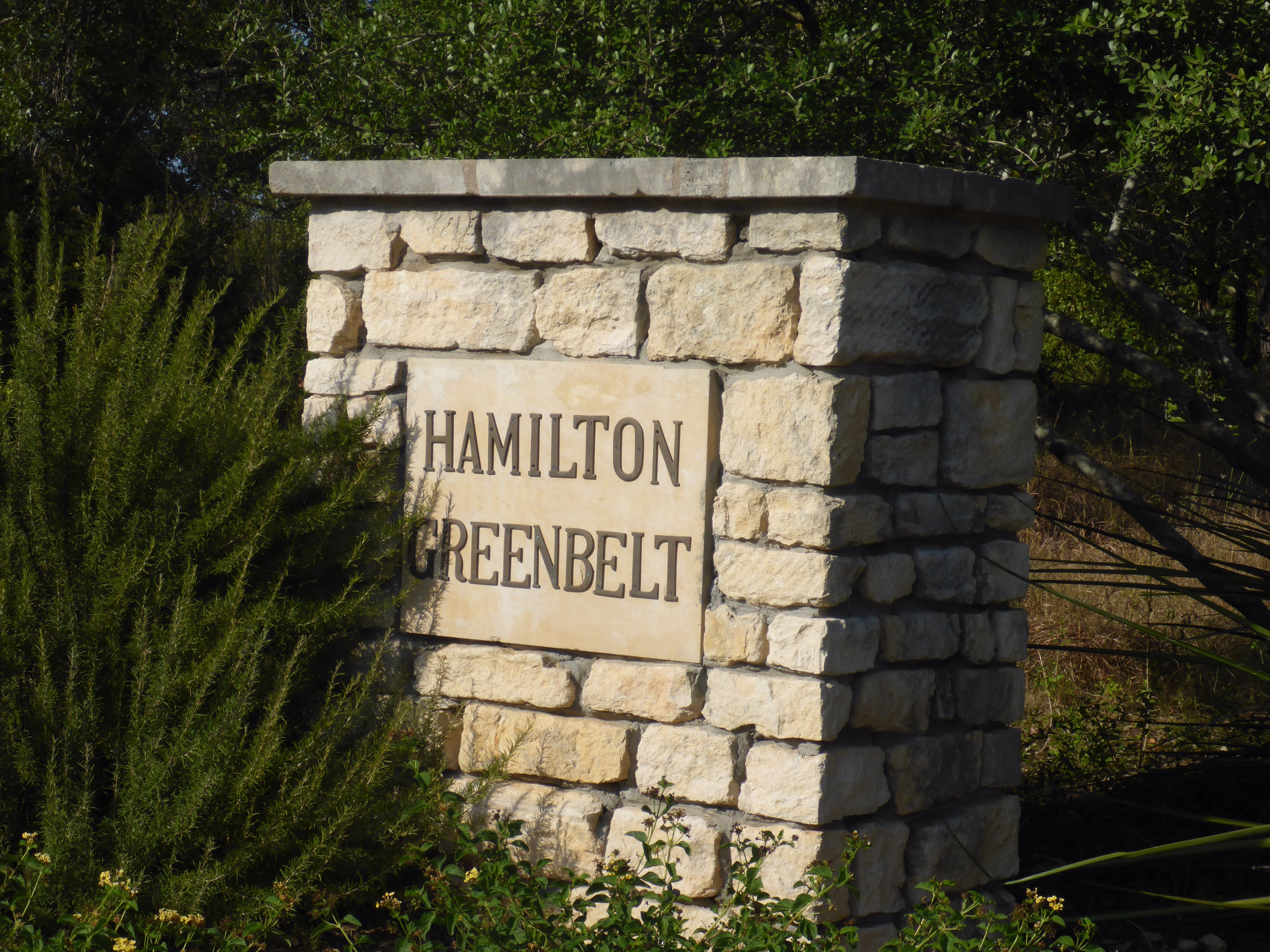
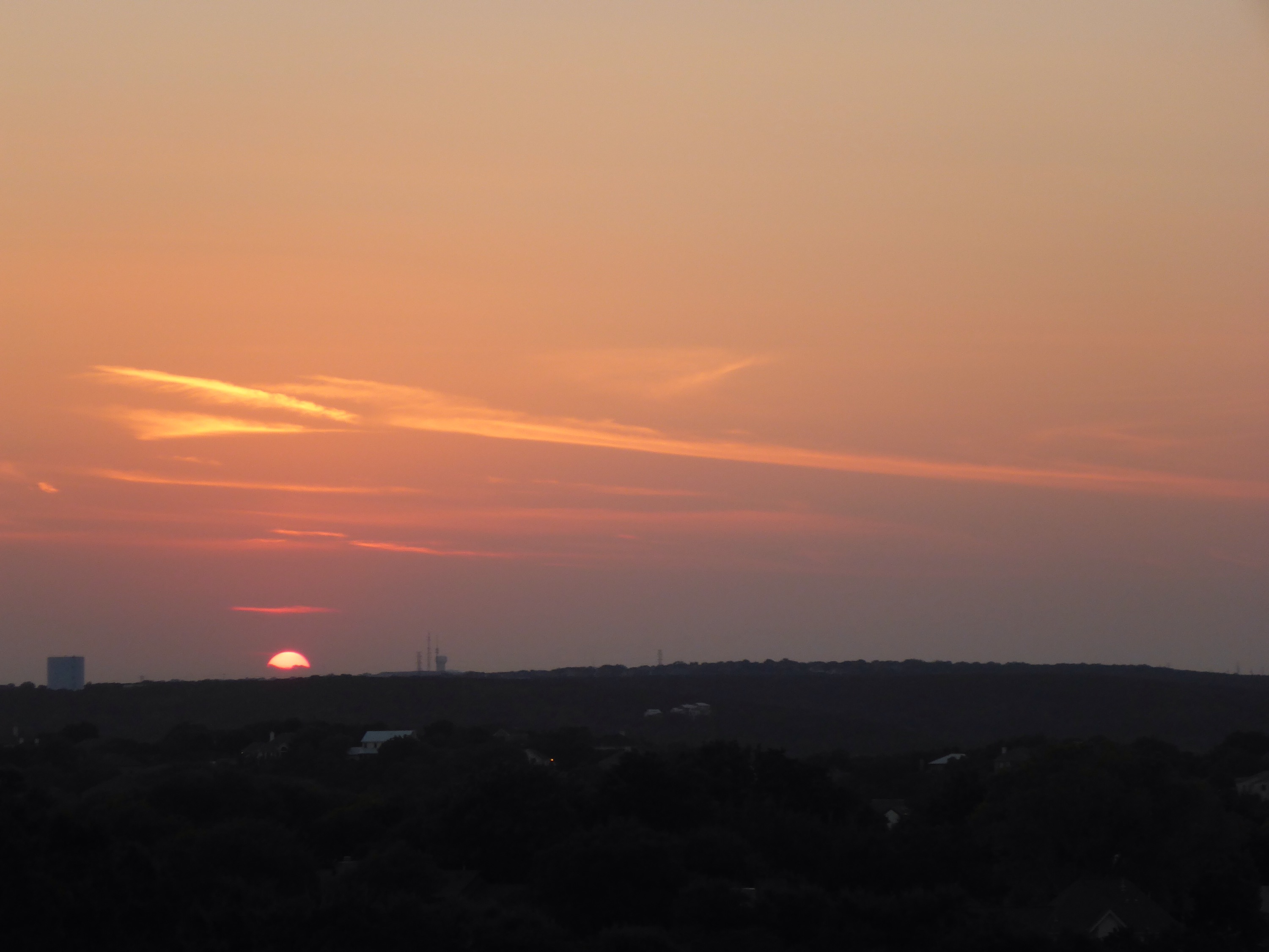
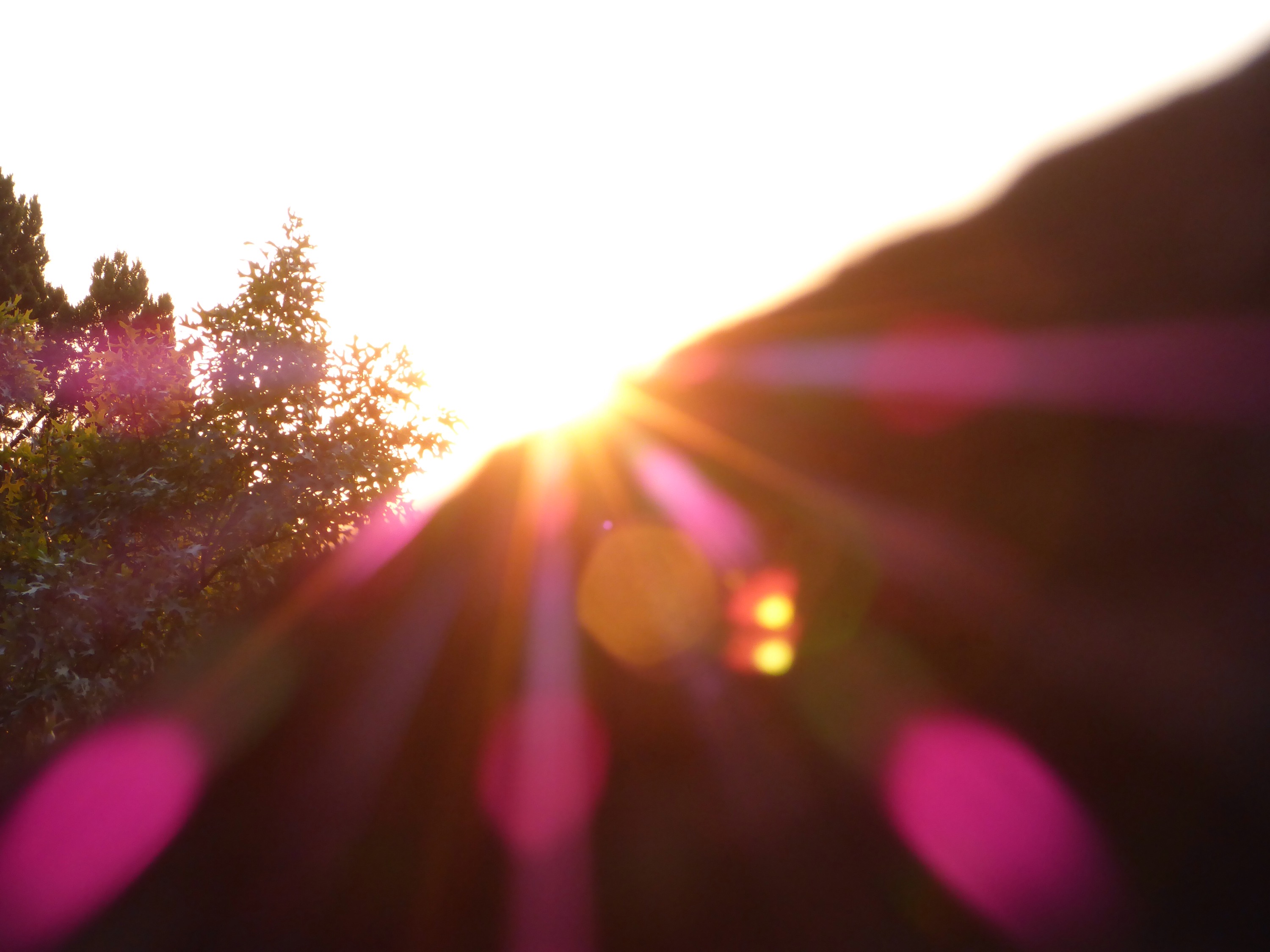
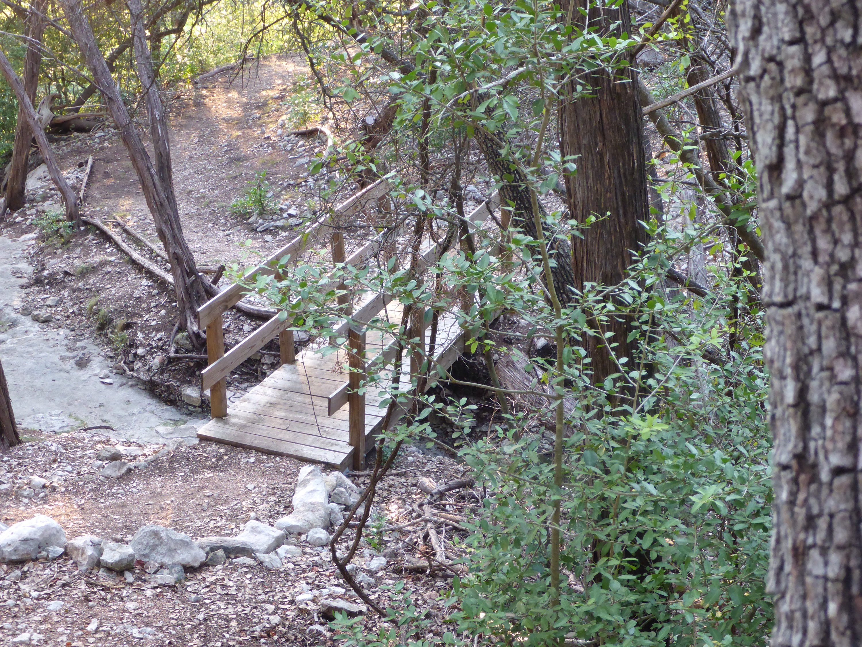
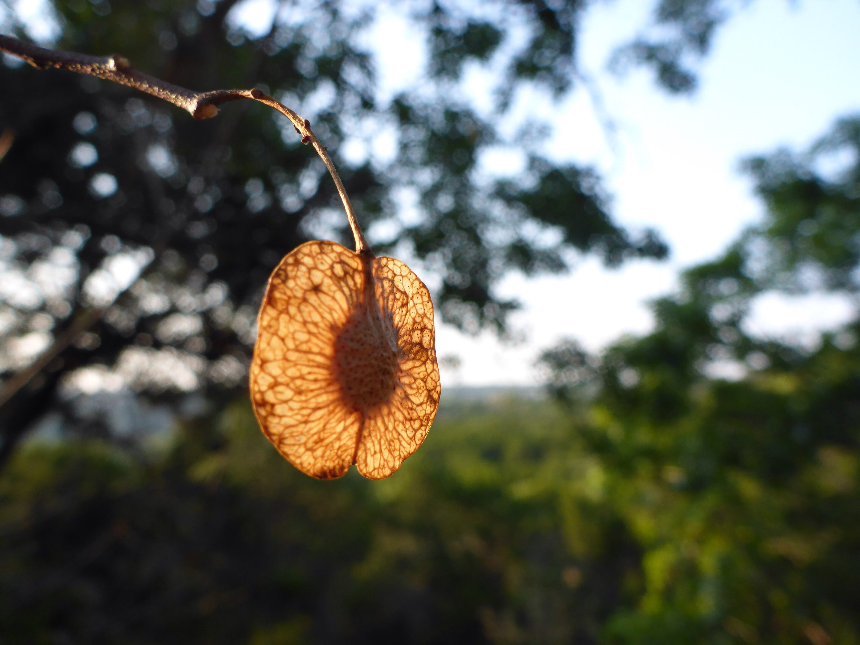
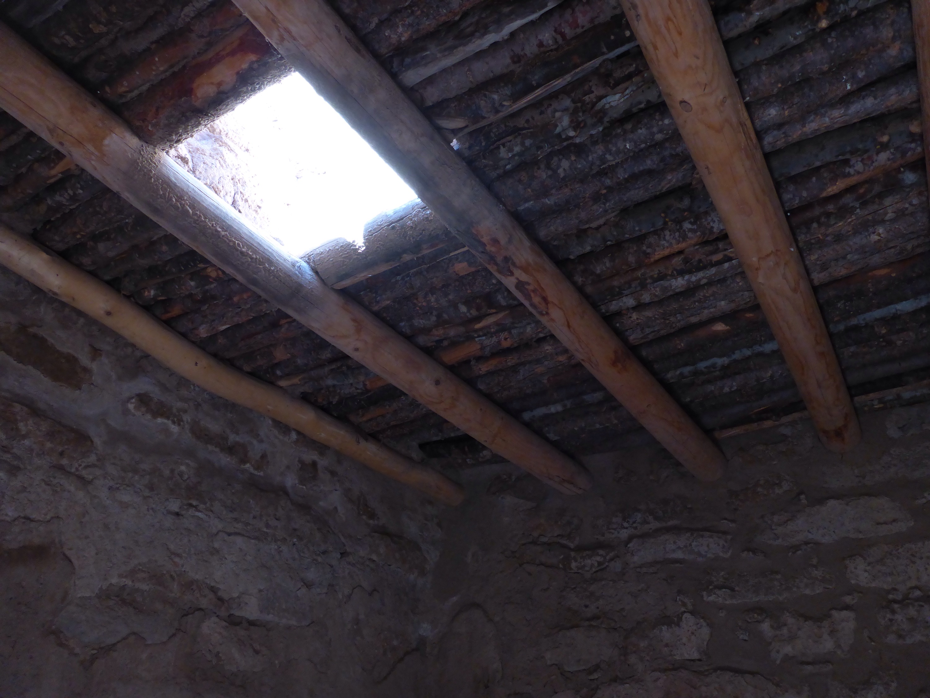
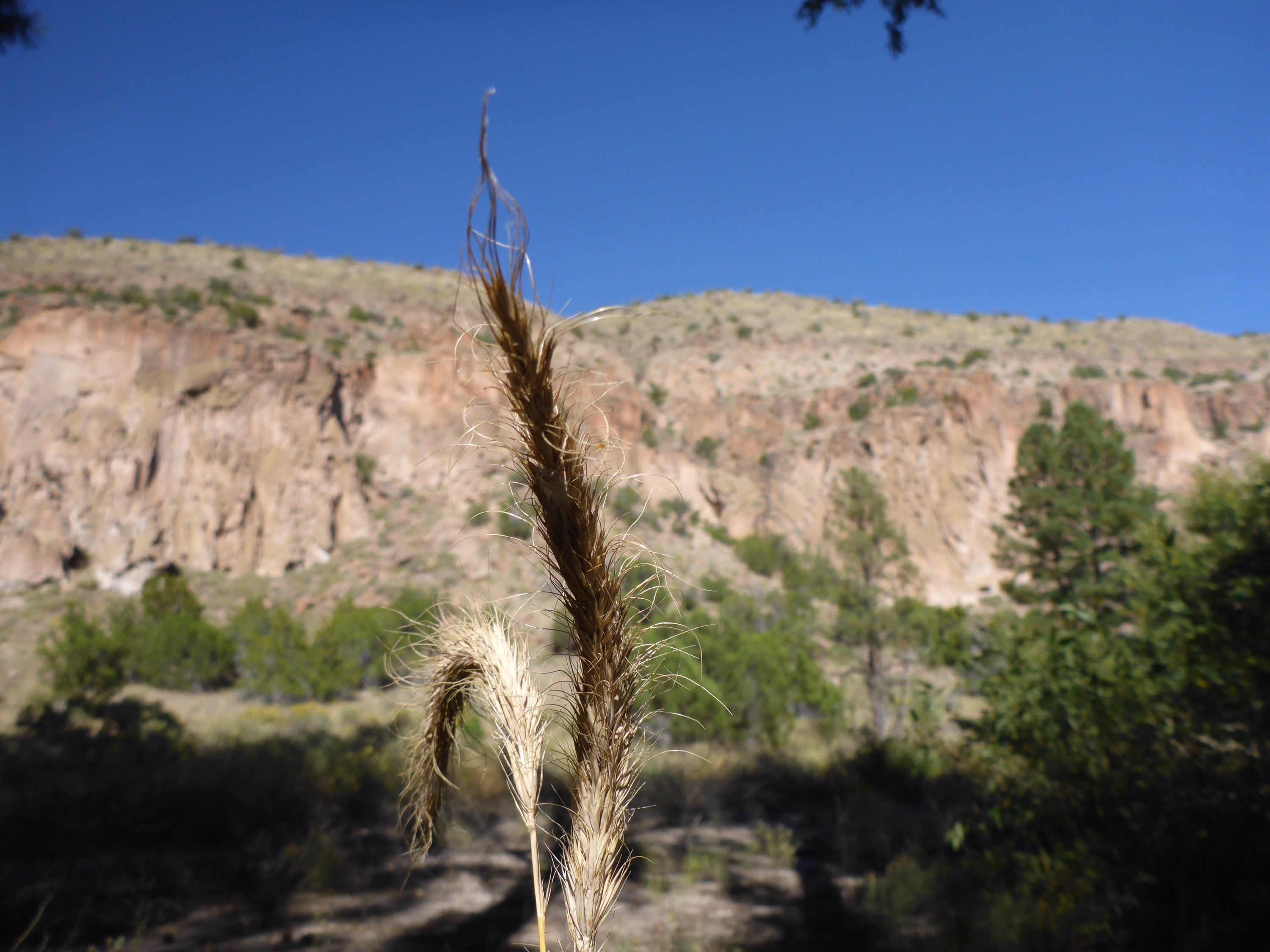
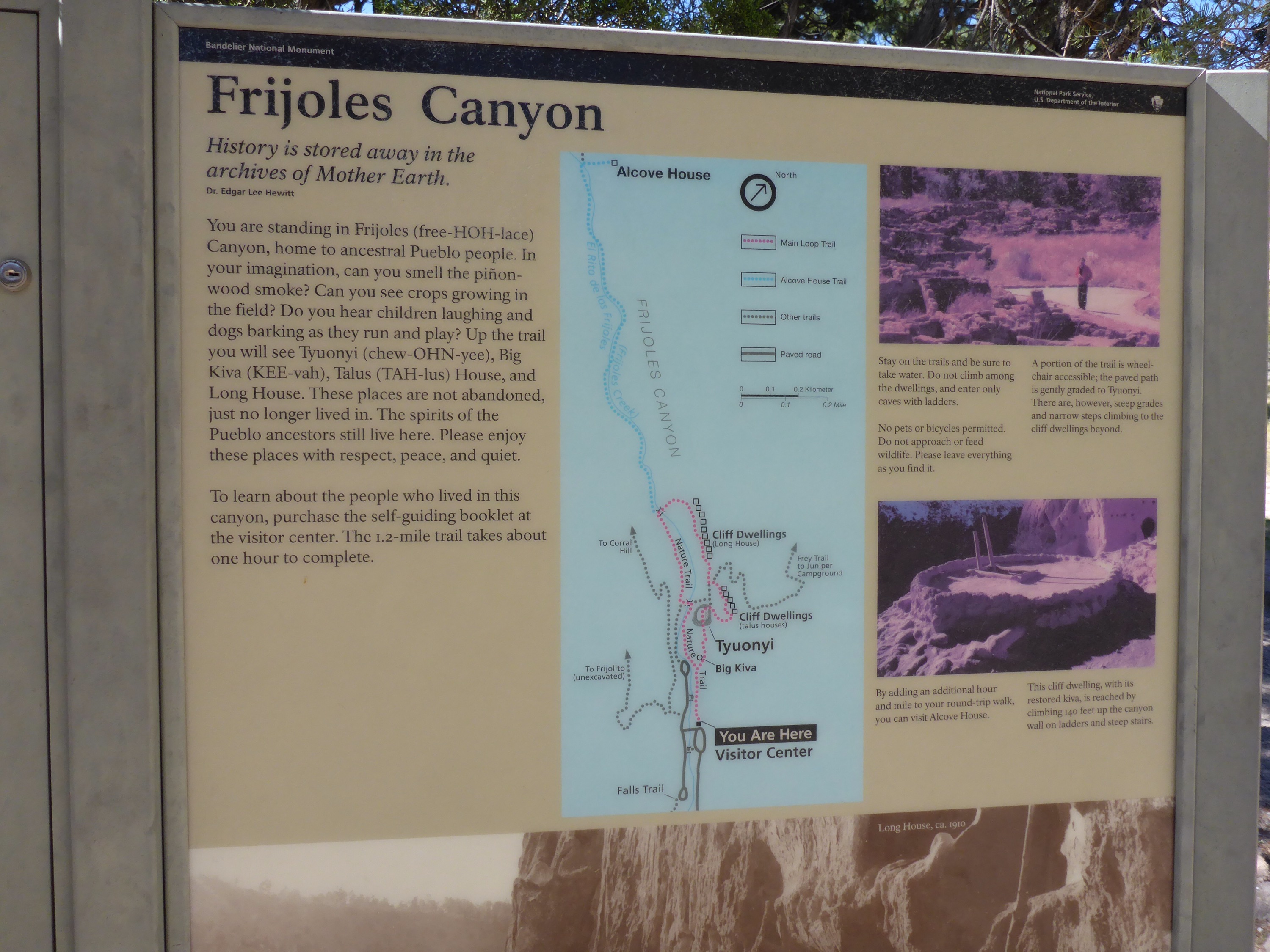
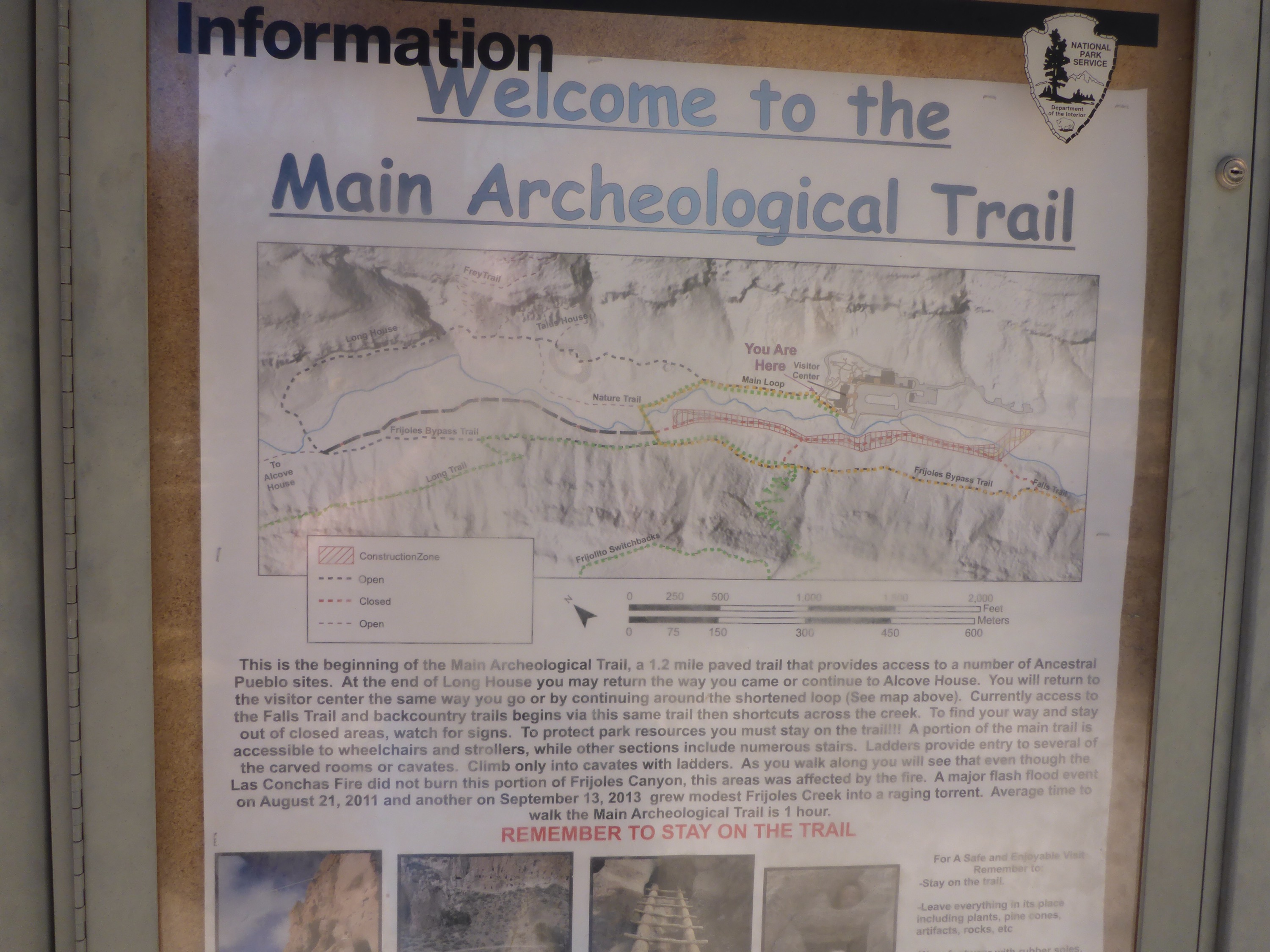
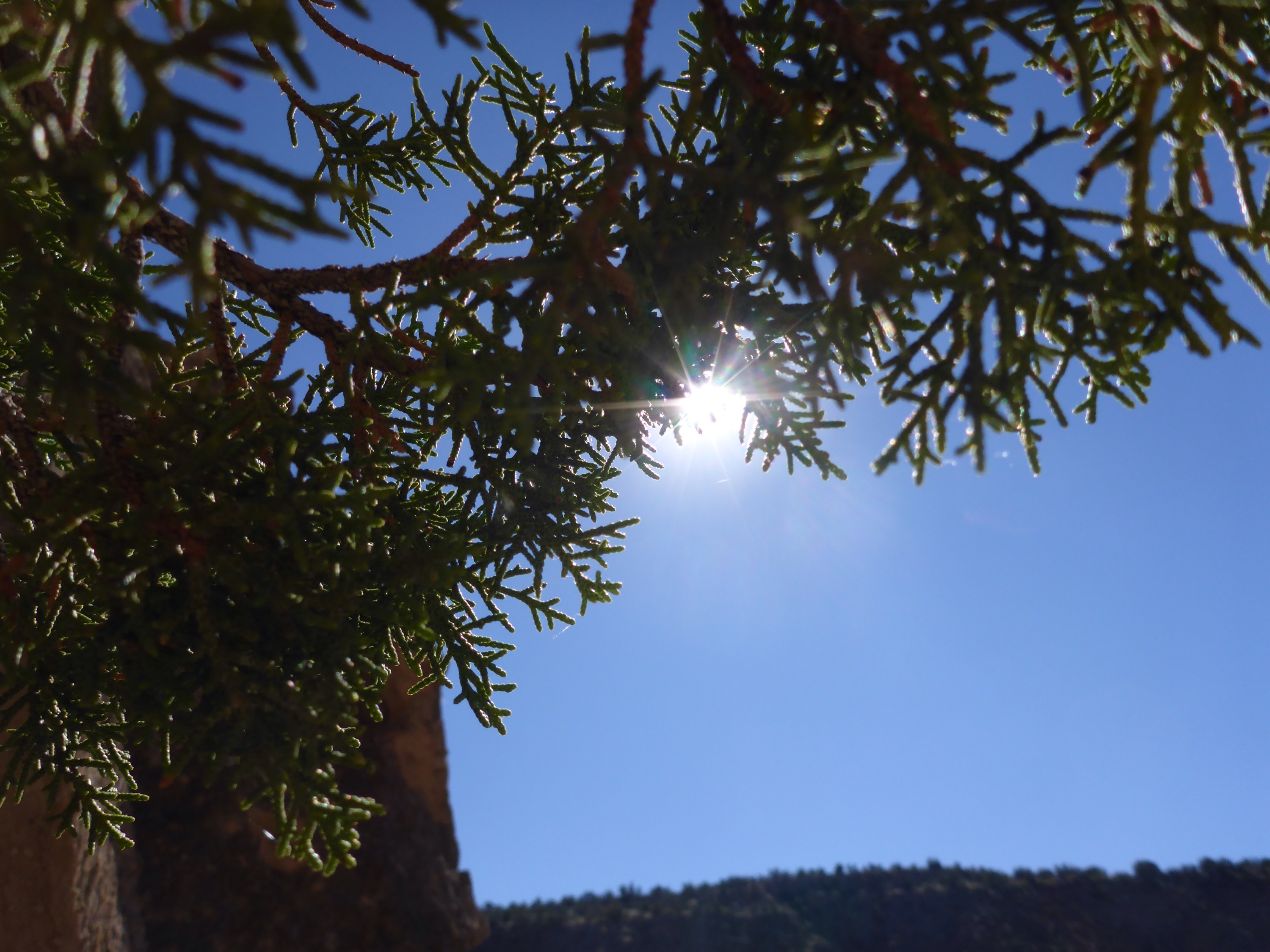
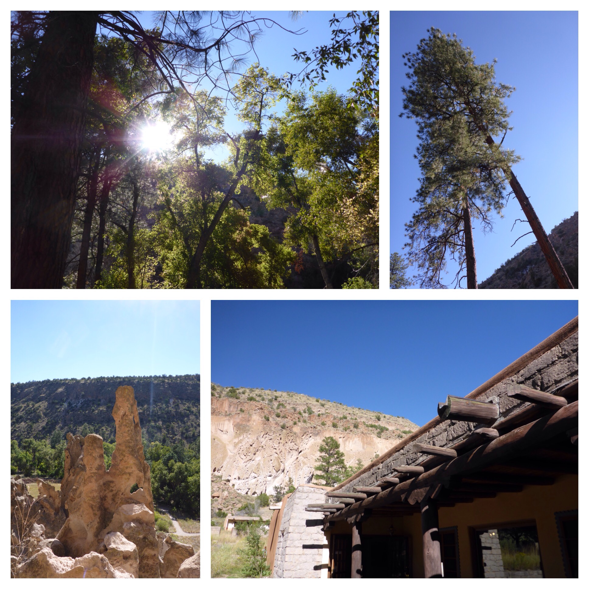
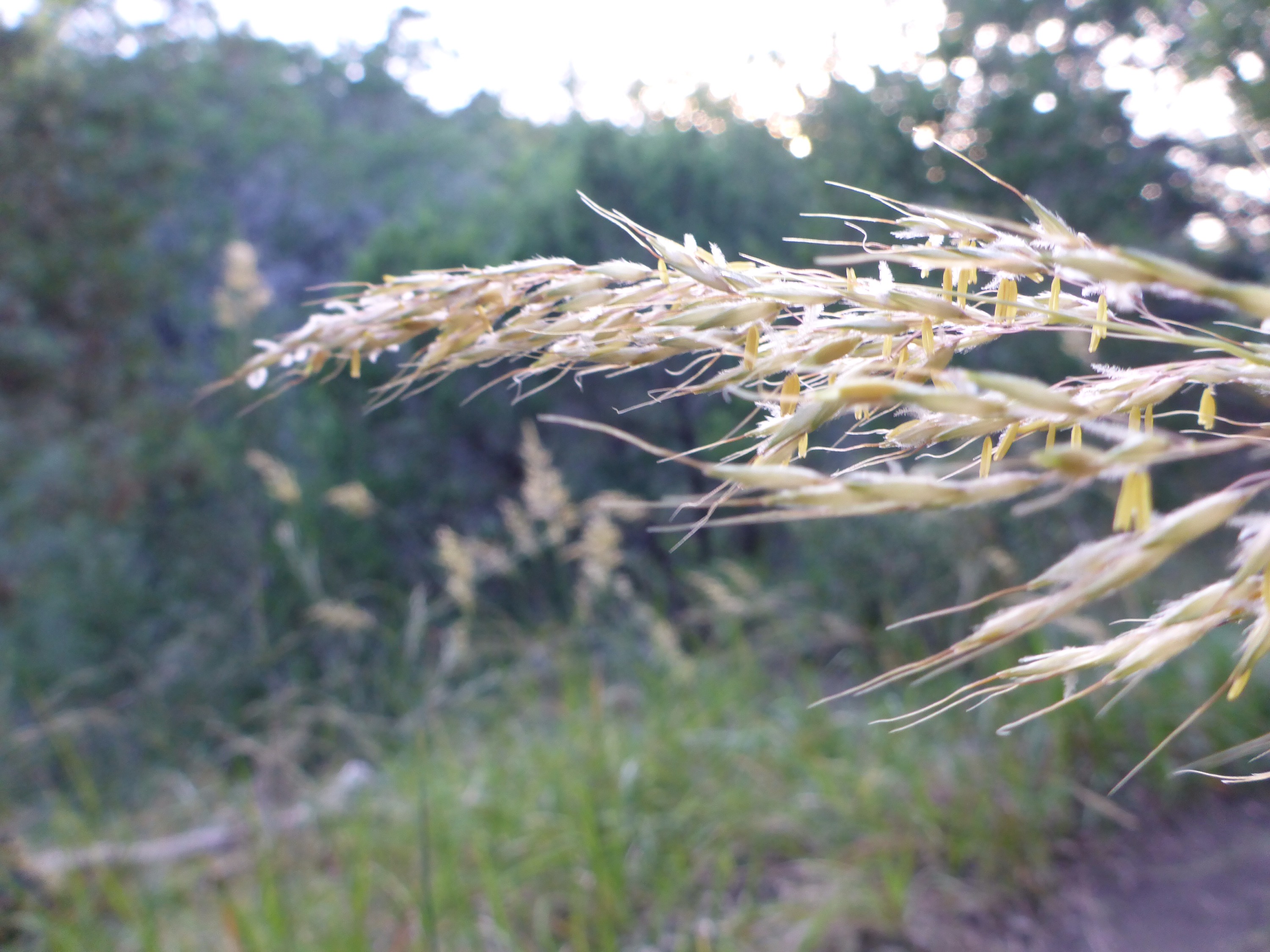
This hike had a lot of features. You first traced along the rim of a canyon, with fields to your right side and a sheer drop off to your left side. Then after a few butterflies and a bluejay sighting, the trail rolled off into the canyon and across a dried up stream bed. Up a hill, and then an option for a steeper hill trail, but I was running out of sunlight. Then get lost a little bit, take a wrong turn, watch the doves fly out of the grasses as I approached them, discover a groovy treehouse someone has created, turn back to the canyon trail, hope this version takes me out of the canyon and not further into it, by a dried up pond, listen to the frogs kick off their nightly songs, up a hill, and back towards the welcome sight of the power lines that lead me to my air conditioned car. All accomplished just before the sun sets on the other side of the canyon. Fun times!
Tag Archives: Hiking
Canyonlands – Trail Map
I returned to Lakeway again this evening to continue exploring the parks and trails here. The Canyonlands Park is a great place for roaming around. You follow the humming power lines into the canyon area, and then you hike around and get lost. It is a nice series of trails, so don’t tell too many people about our secret. 🙂
Hamilton Greenbelt – Hike
There is a waterfall not far from the Hamilton Greenbelt trailhead. When the water is not flowing too strong, you can climb out on the edge and watch the fish swimming below, beneath the ferns and a few scattered wildflowers.
Hamilton Greenbelt – Trail Map
The Hamilton Greenbelt in Lakeway is a pleasant place to hike. I went in maybe two miles, got turned around, and then followed the sun on the way back to the trailhead. I’m looking forward to exploring this area further.
Short & Steep
There is a very short and steep hiking trail which starts off just from the parking lot of the Triumphant Love Lutheran Church on Great Hills Trail in Austin. You descend quickly into the valley between the hills, then you get a little workout as you climb back out. The sunset views from the top are nice also.
Bandelier National Monument – Pueblo Hike
This hike through the cliffs and ancient pueblo dwellings made me think what it might be like to live in the Frijoles Canyon so long ago. The following series of photos will share the sights along the trail at Bandelier National Monument. It is an awesome place, and I hope to hike other trails in the park someday to explore further.
Bandelier National Monument – Trail Map
There are many trails at the Bandelier National Monument, but the trail that most visitors are here for is the 1.2 mile loop that takes you right through the historical Pueblo sites. It is so worth the trip!
TesseraÂ
I drove out to Lago Vista in search of some good hiking trails, but my first stop at Tessera on Lake Travis didn’t provide what I was hoping for. There were some awesome views to take in, however.
Steck Valley Greenbelt
It is starting to cool a bit in Austin (only 95 degrees today), so I decided to go for a short hike. Steck Valley Greenbelt consists of a walk downhill to a small creek bed. You will find some mossy spots, some rocky bits, and areas of the trail out in the sunshine. At the bottom of the trail it spits you out into an office park located along the 360 Highway. From there, it is a short climb back to the trailhead. Just the right length for a quick evening jaunt.


