Closed Canyon – Hike

IMG_2600

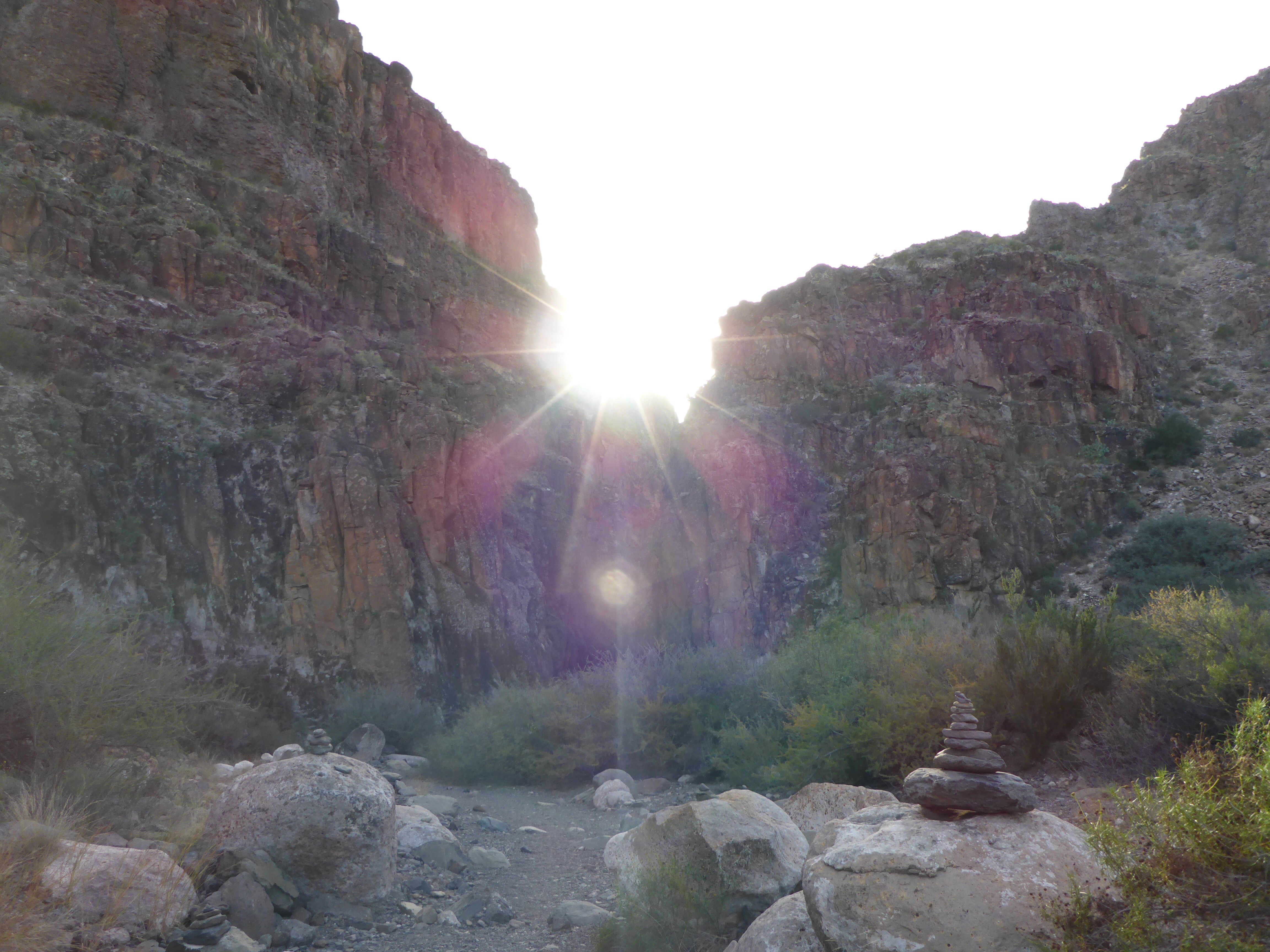
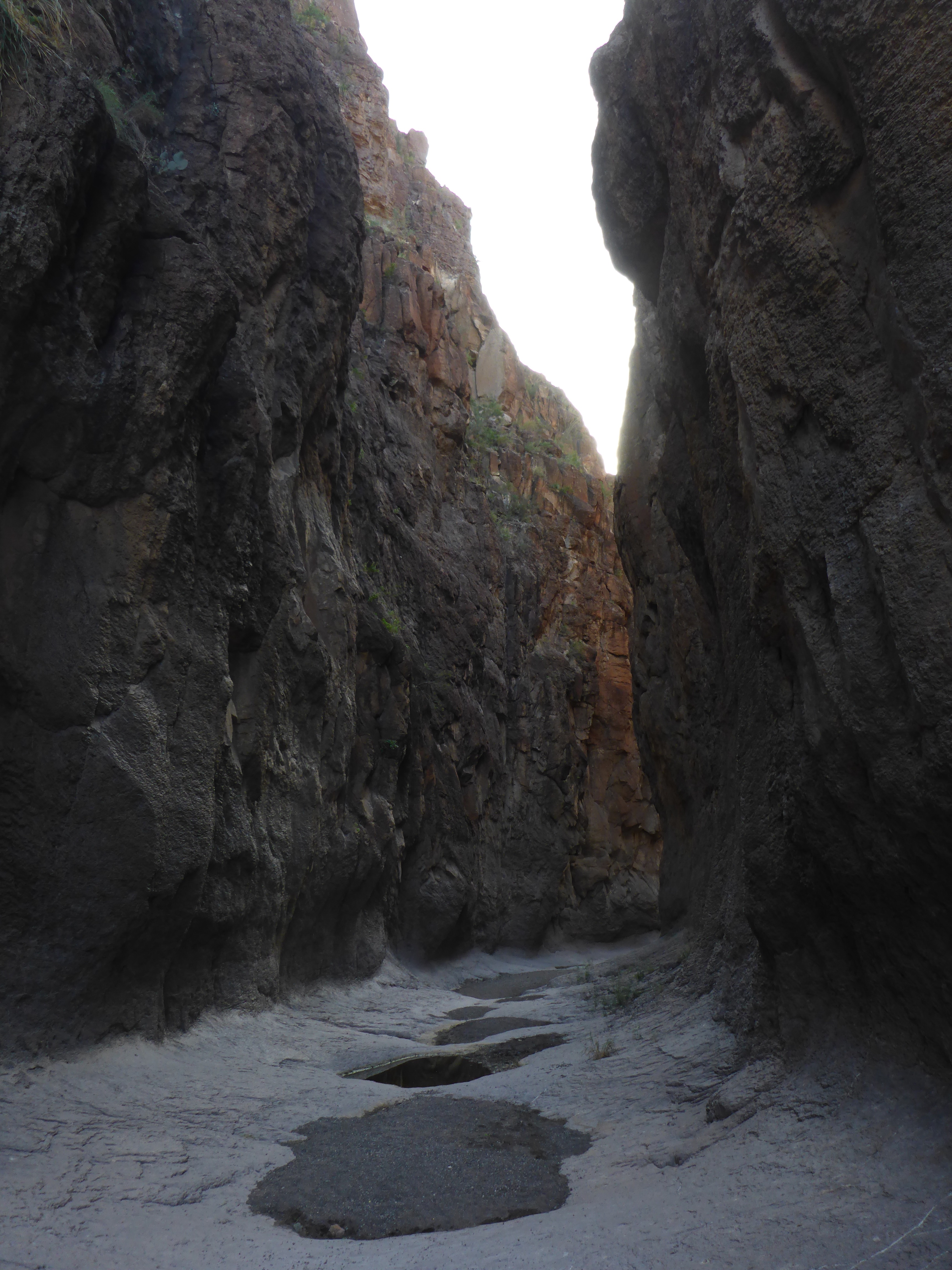
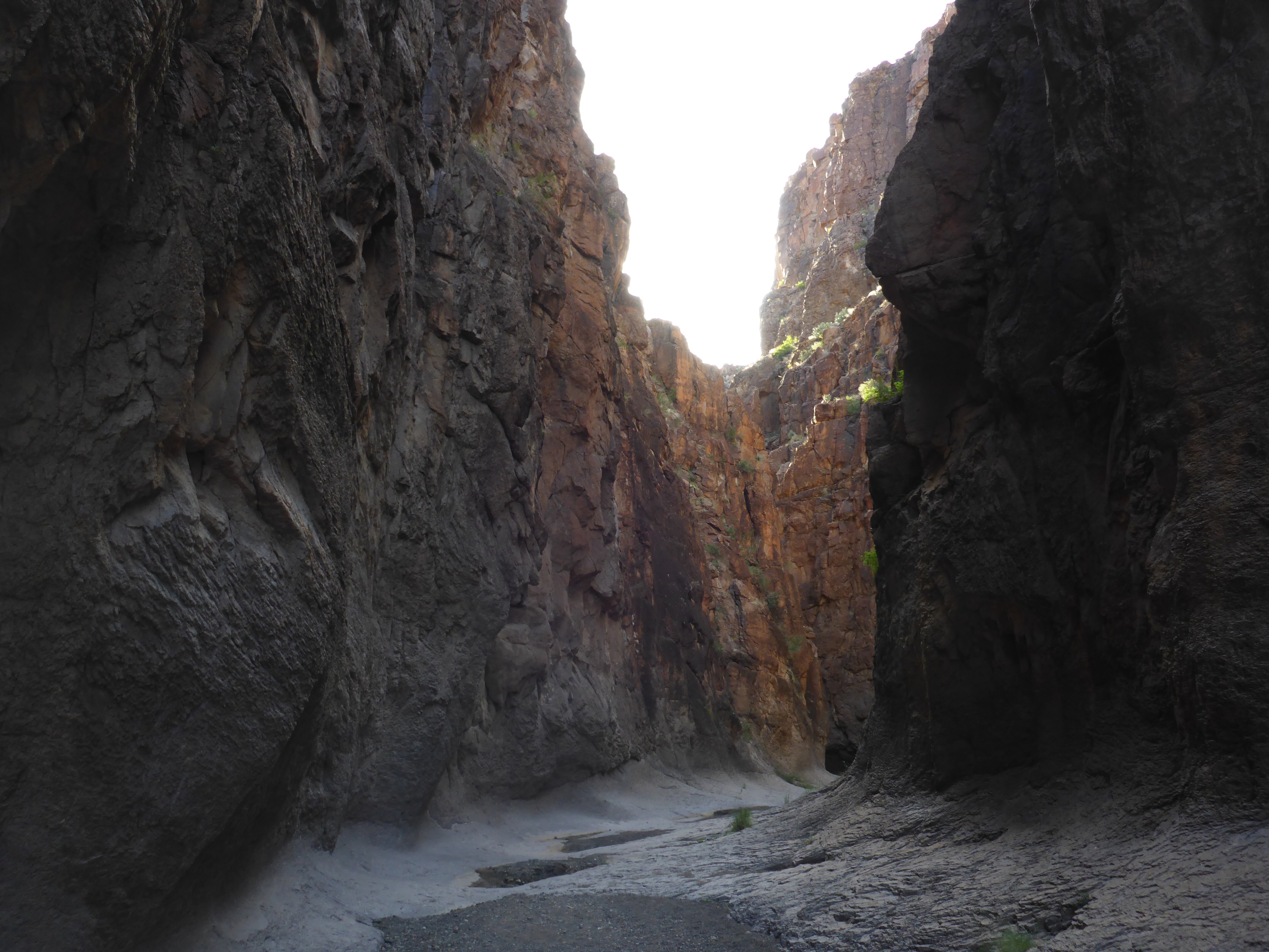
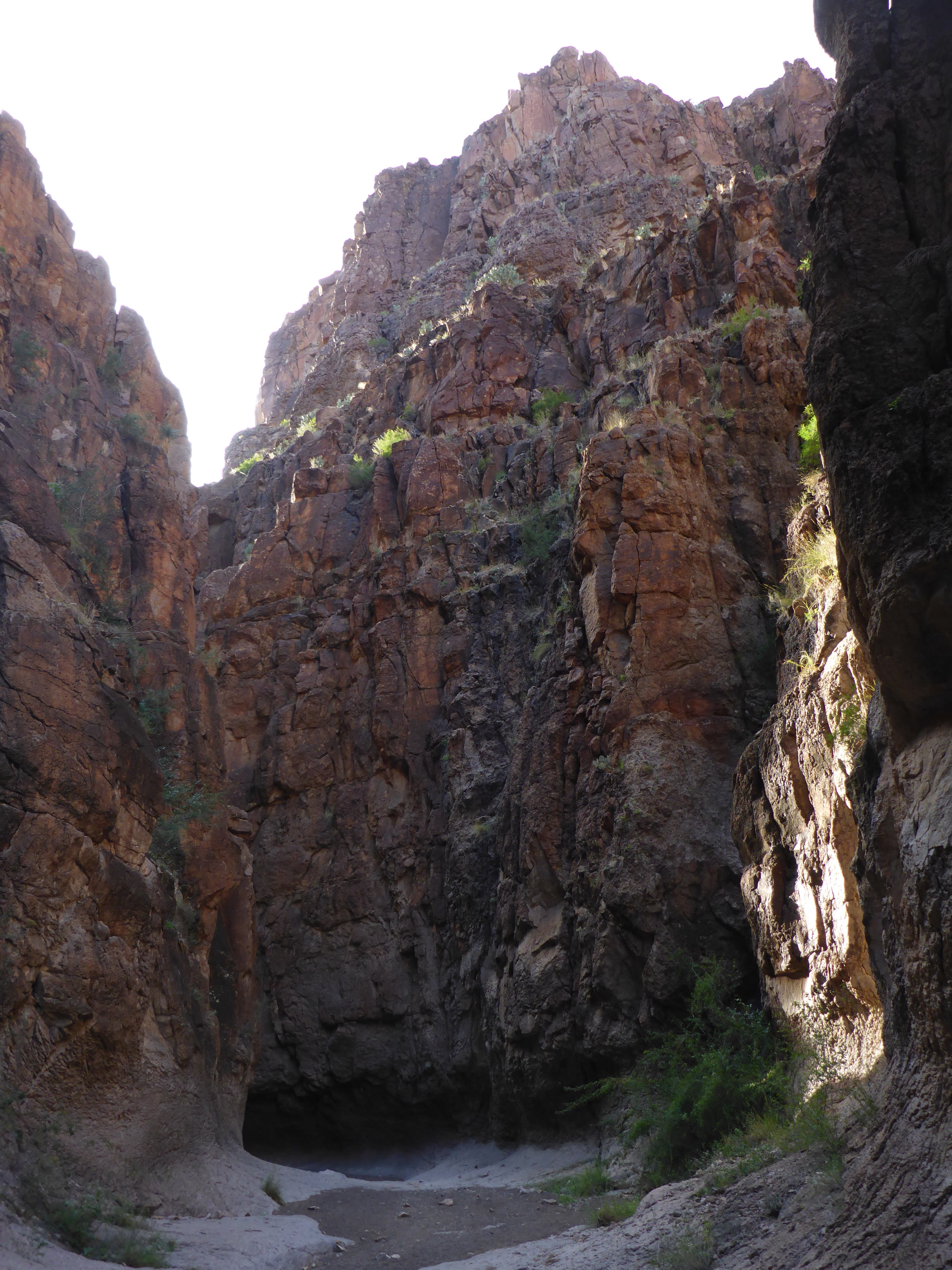
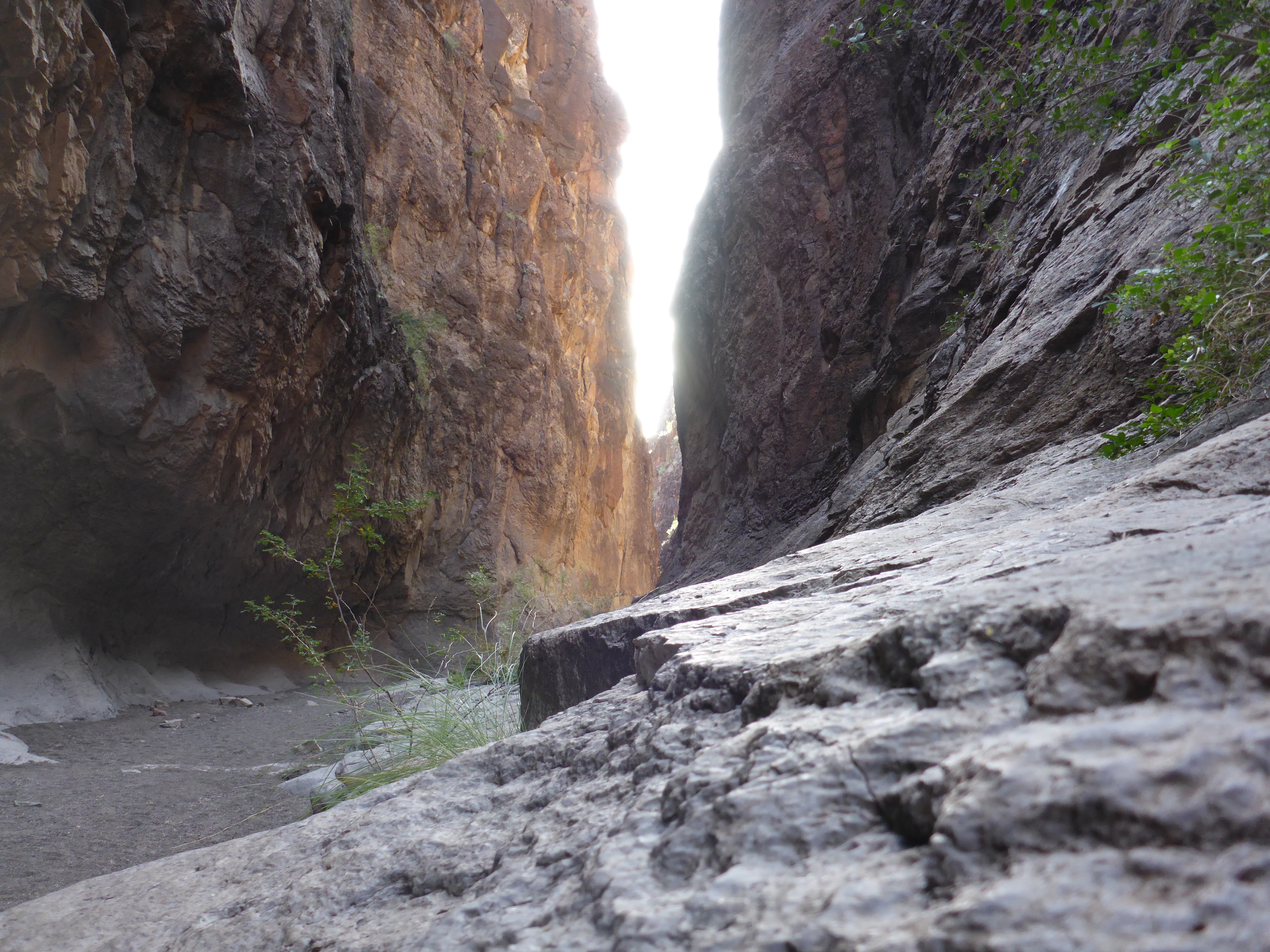
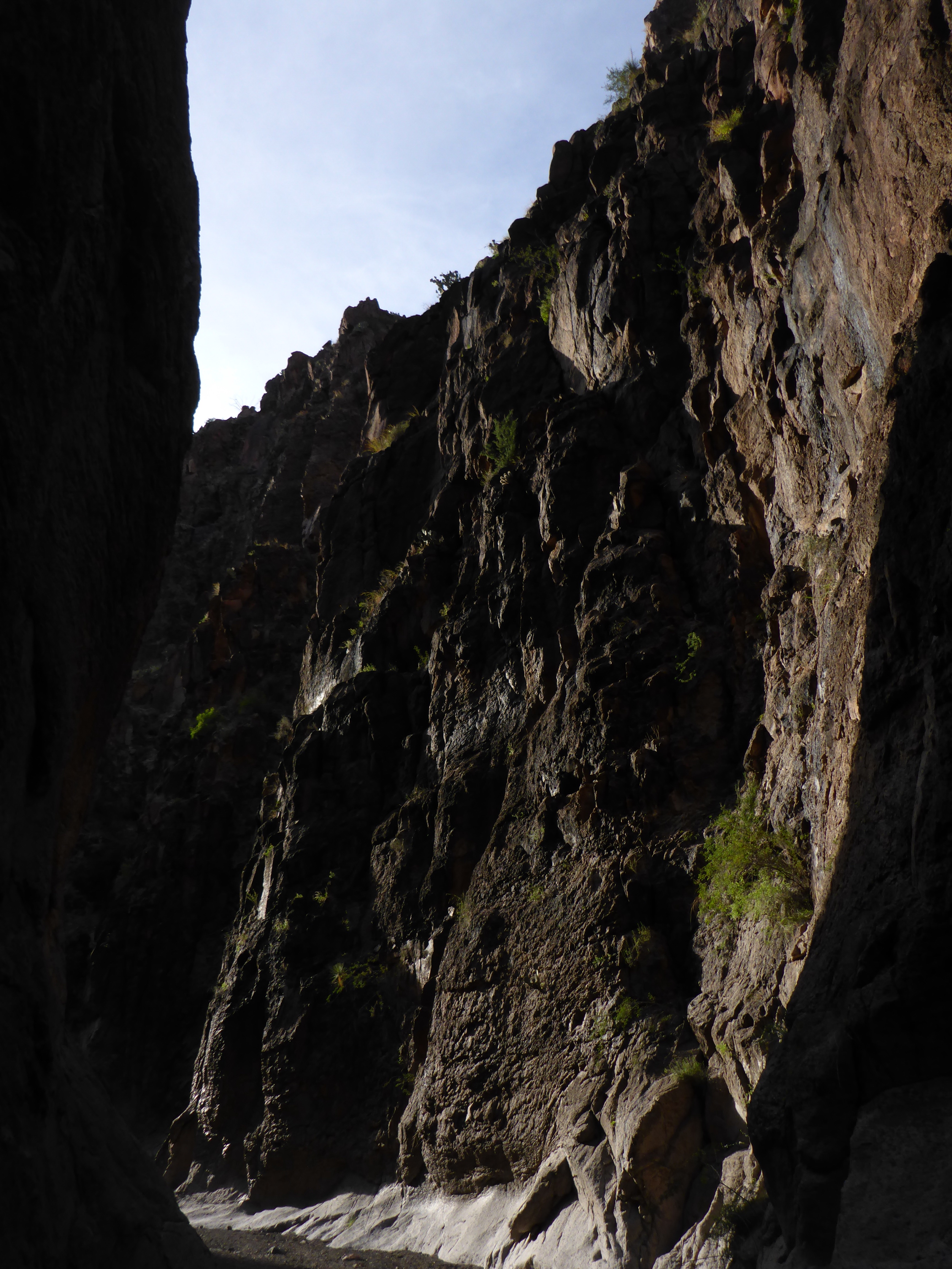
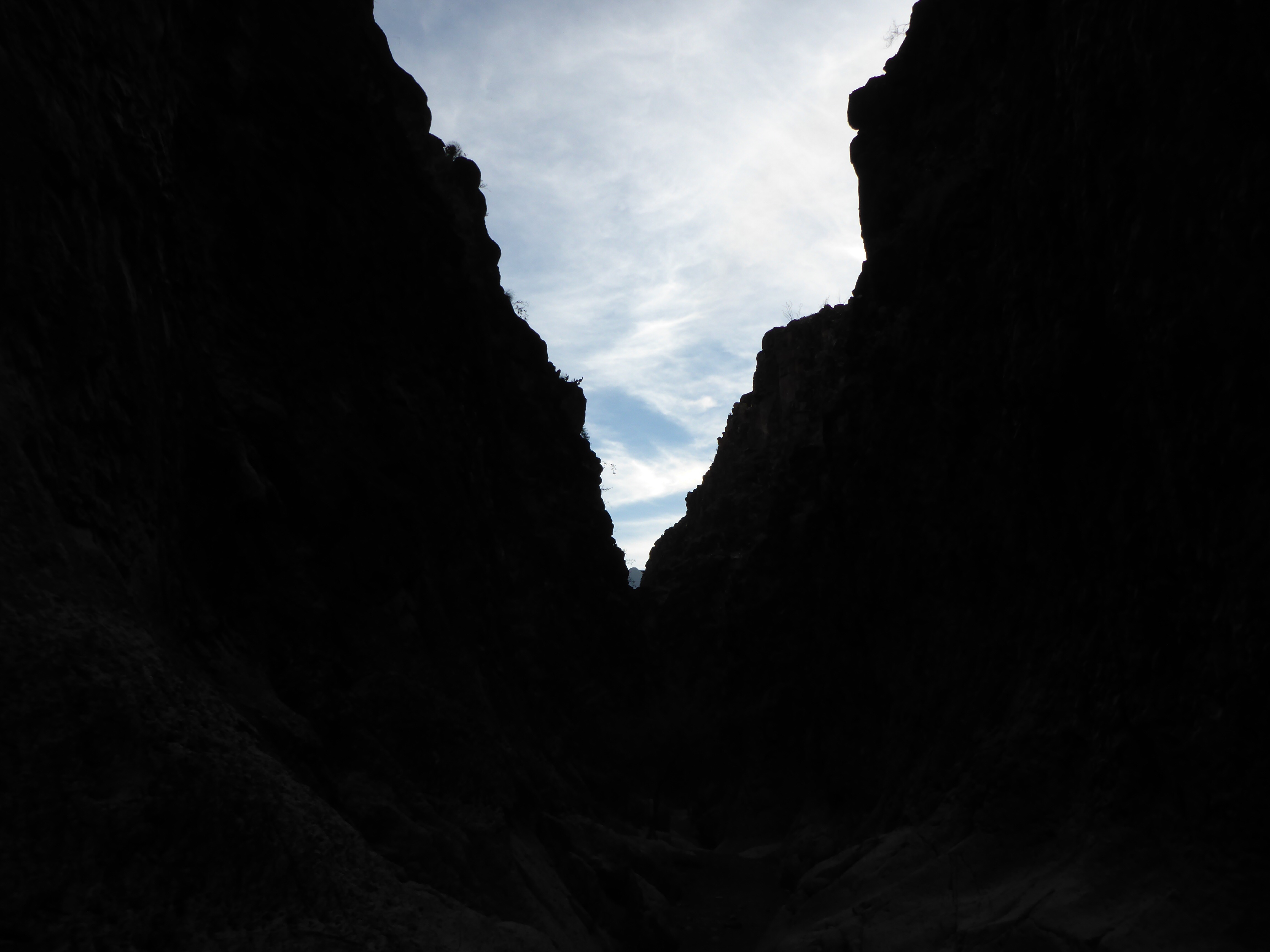
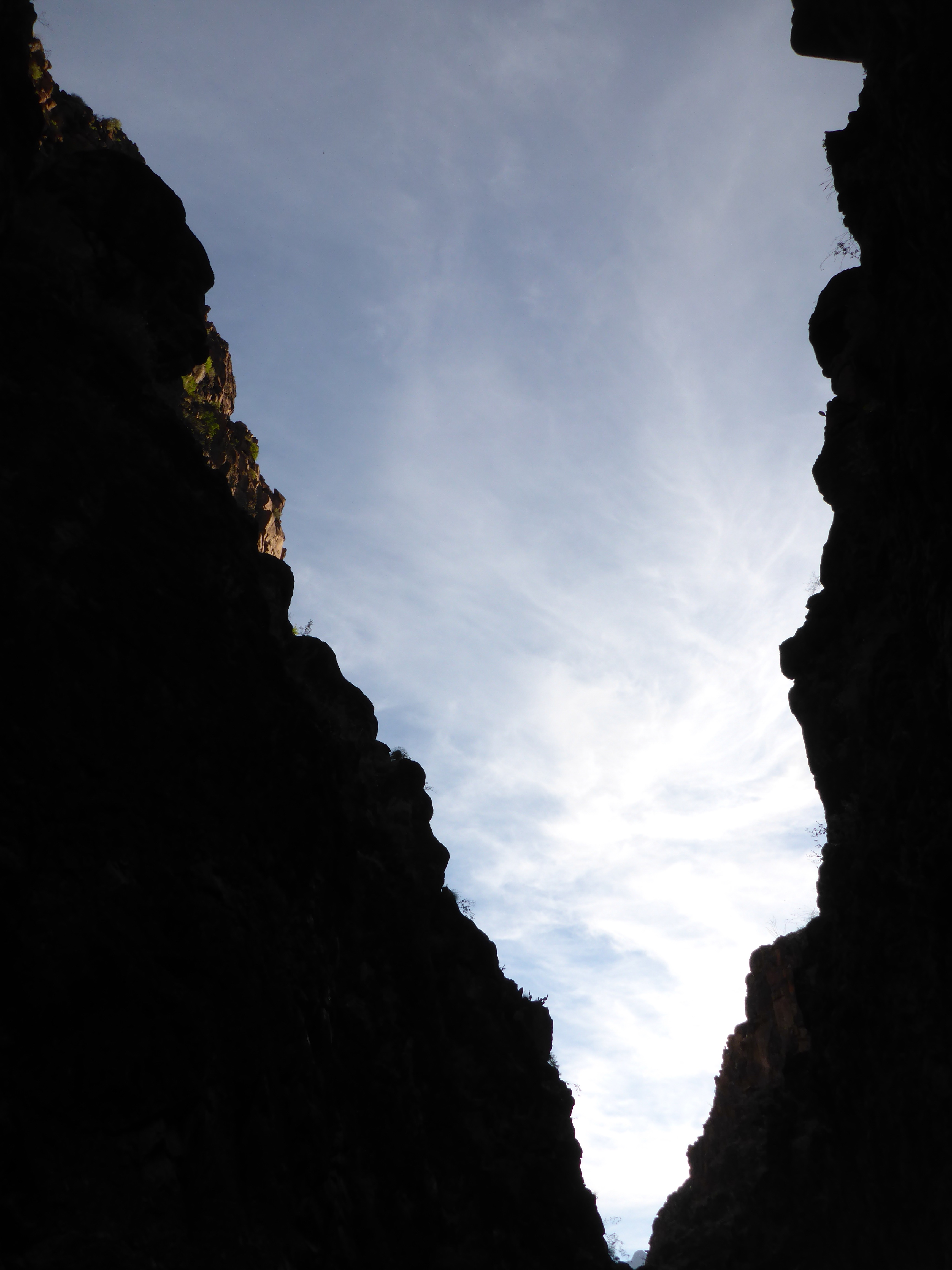
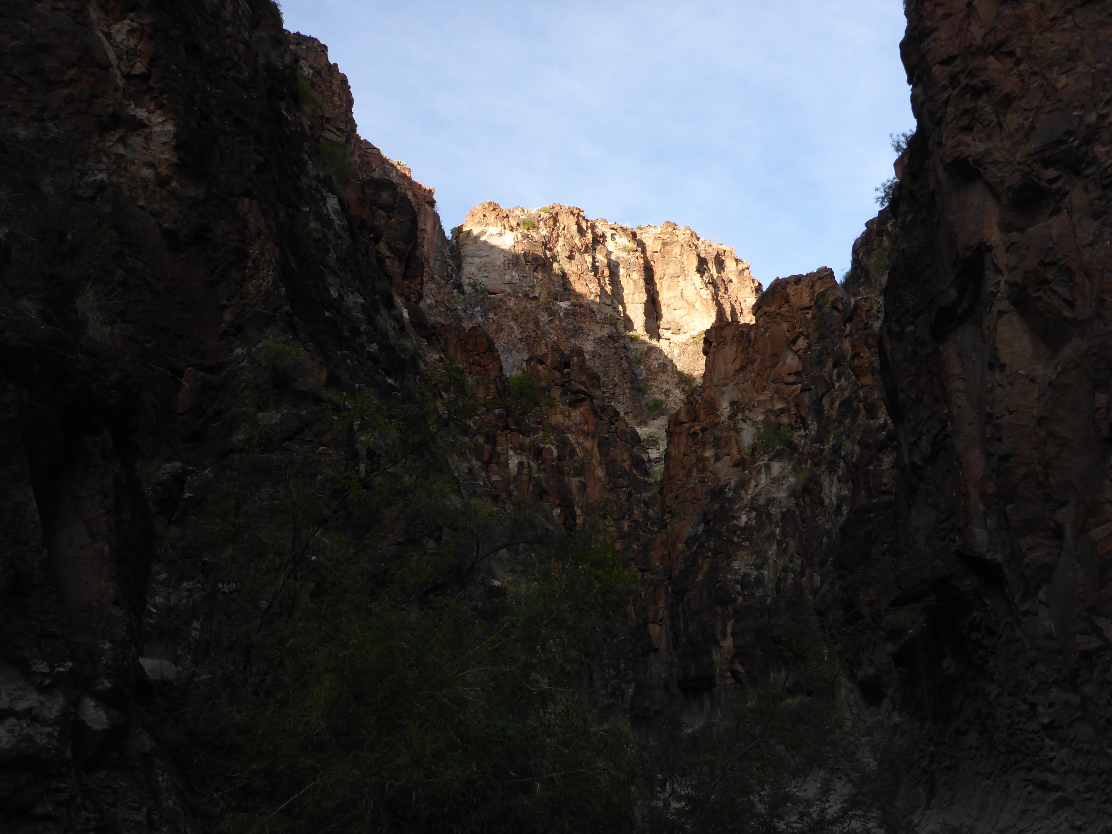
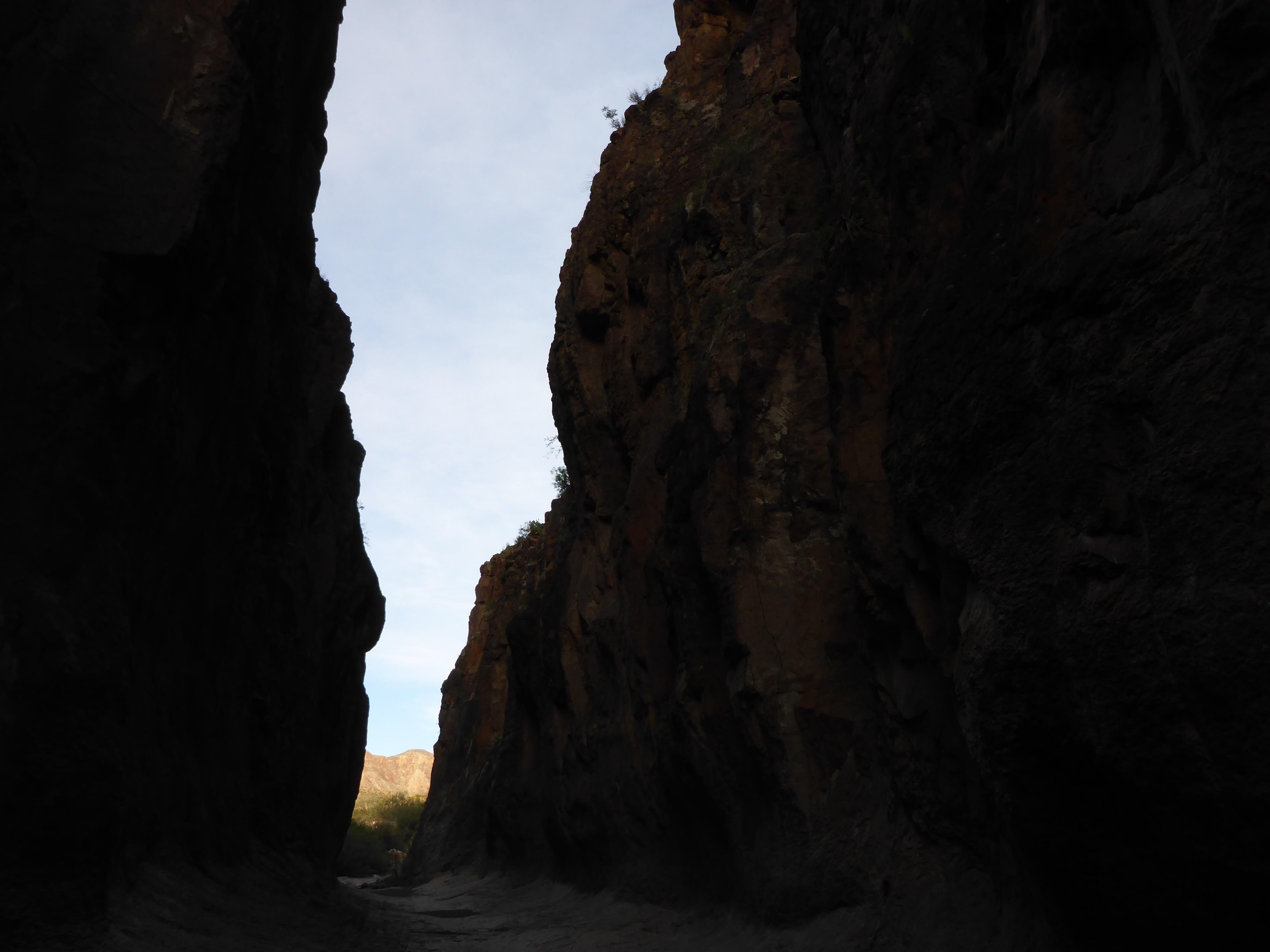
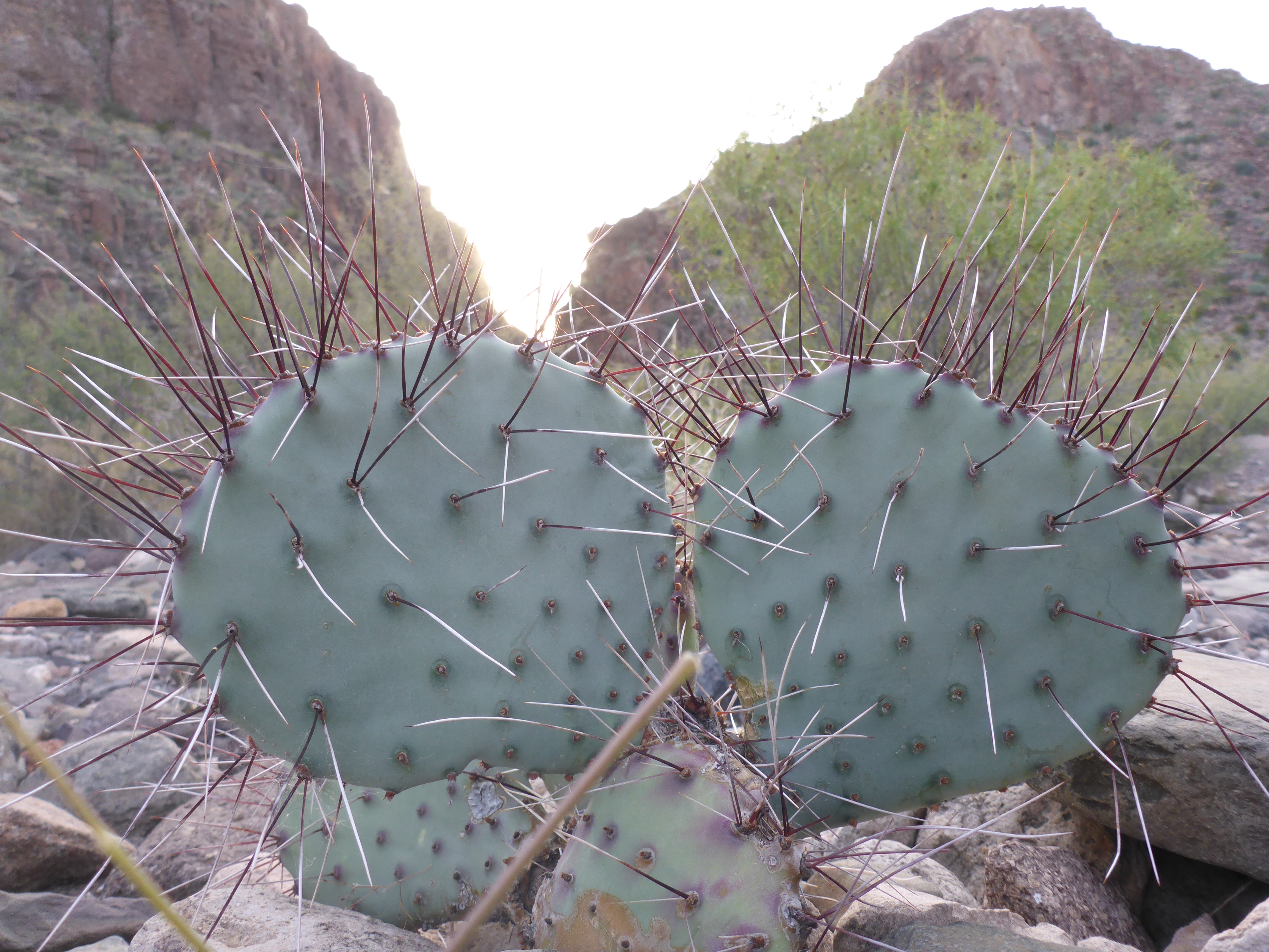
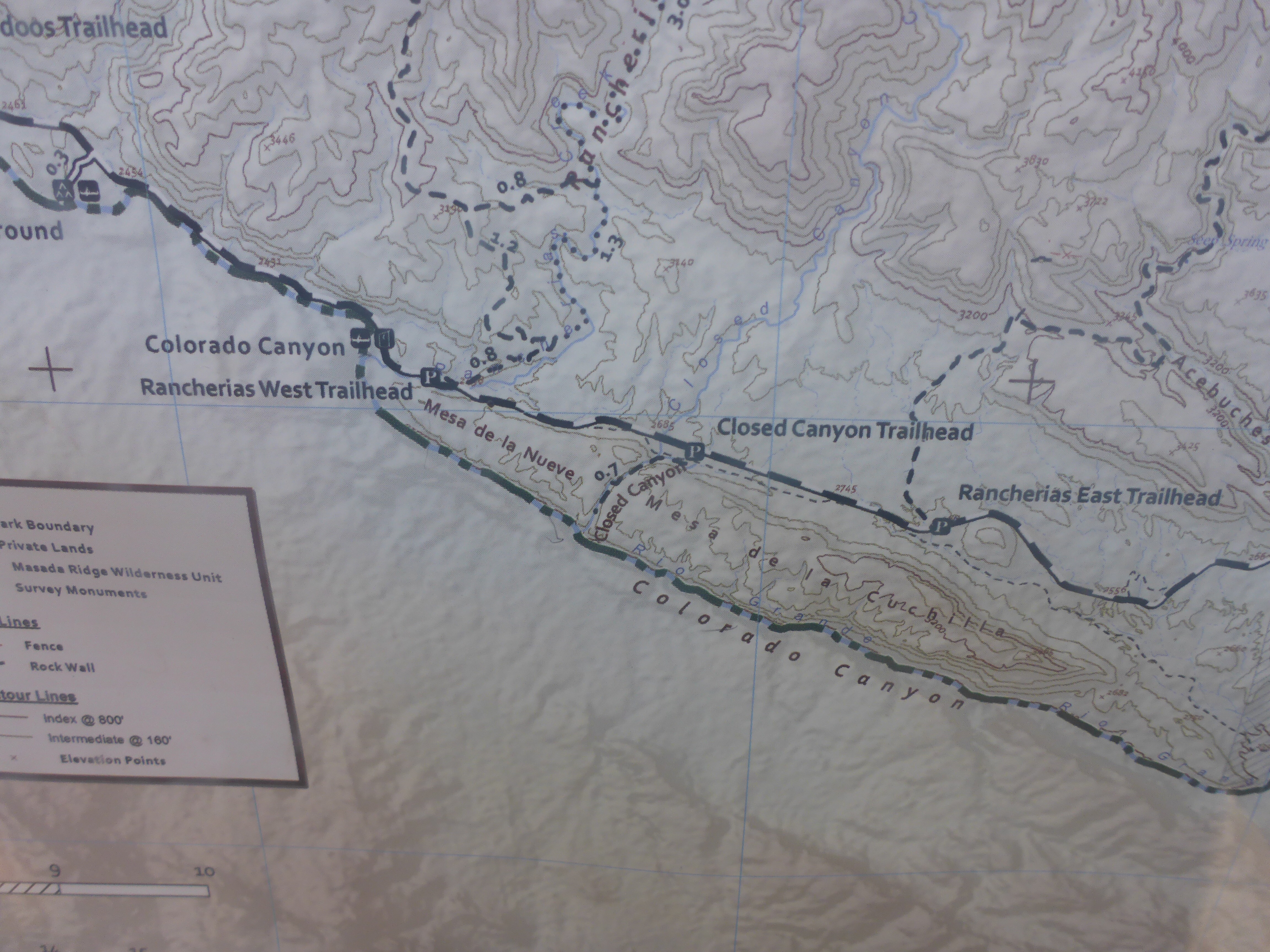
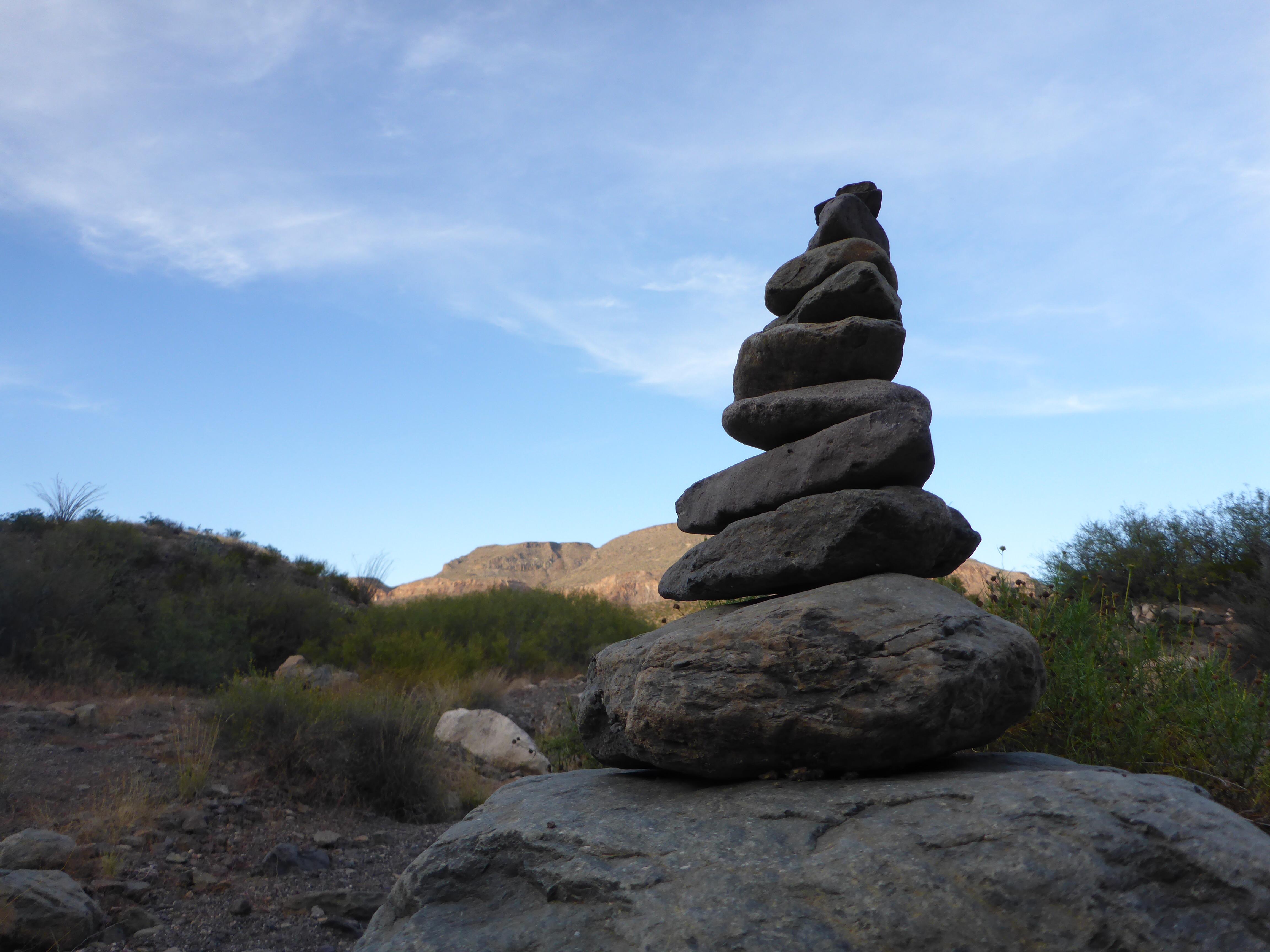
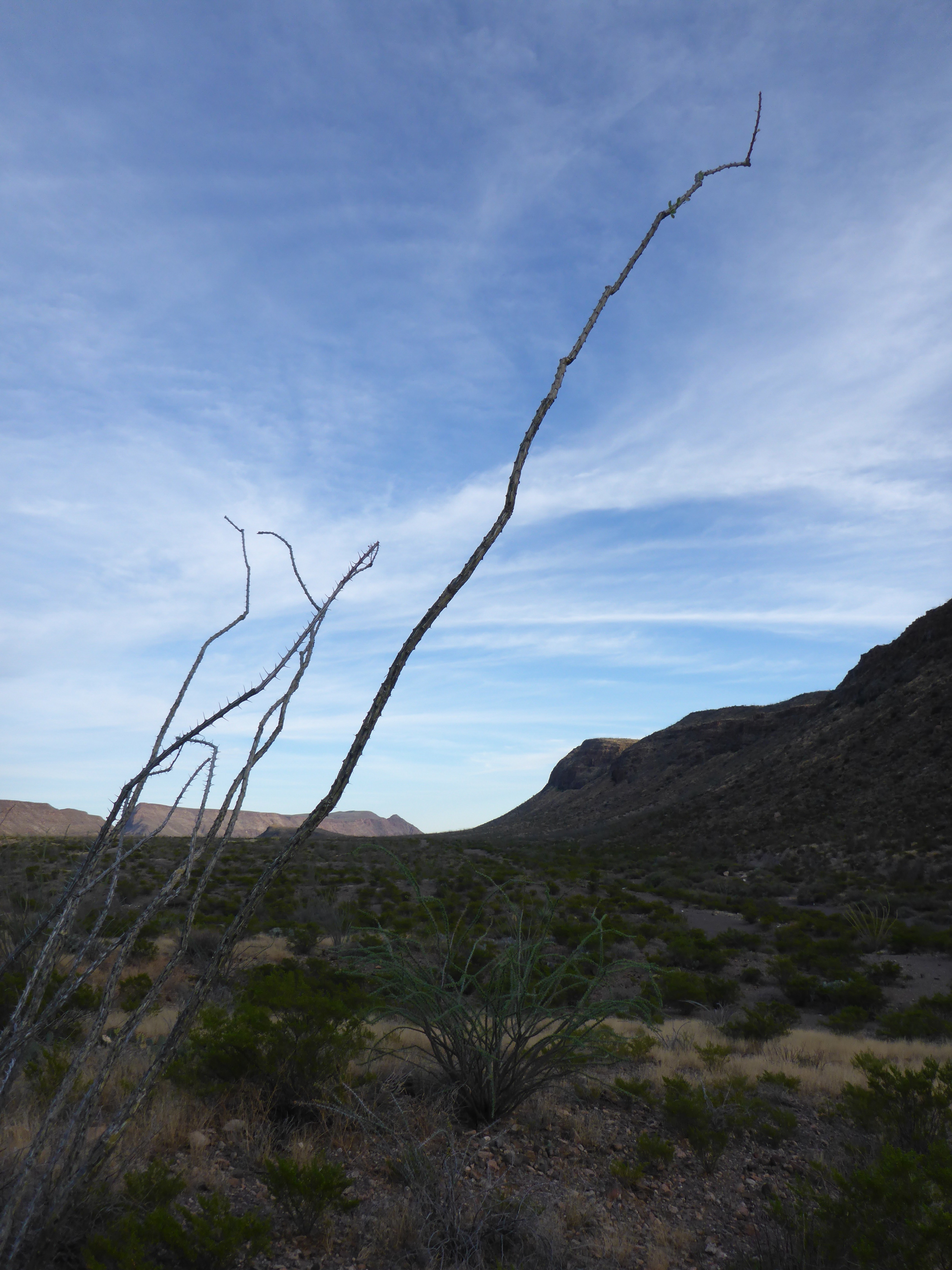
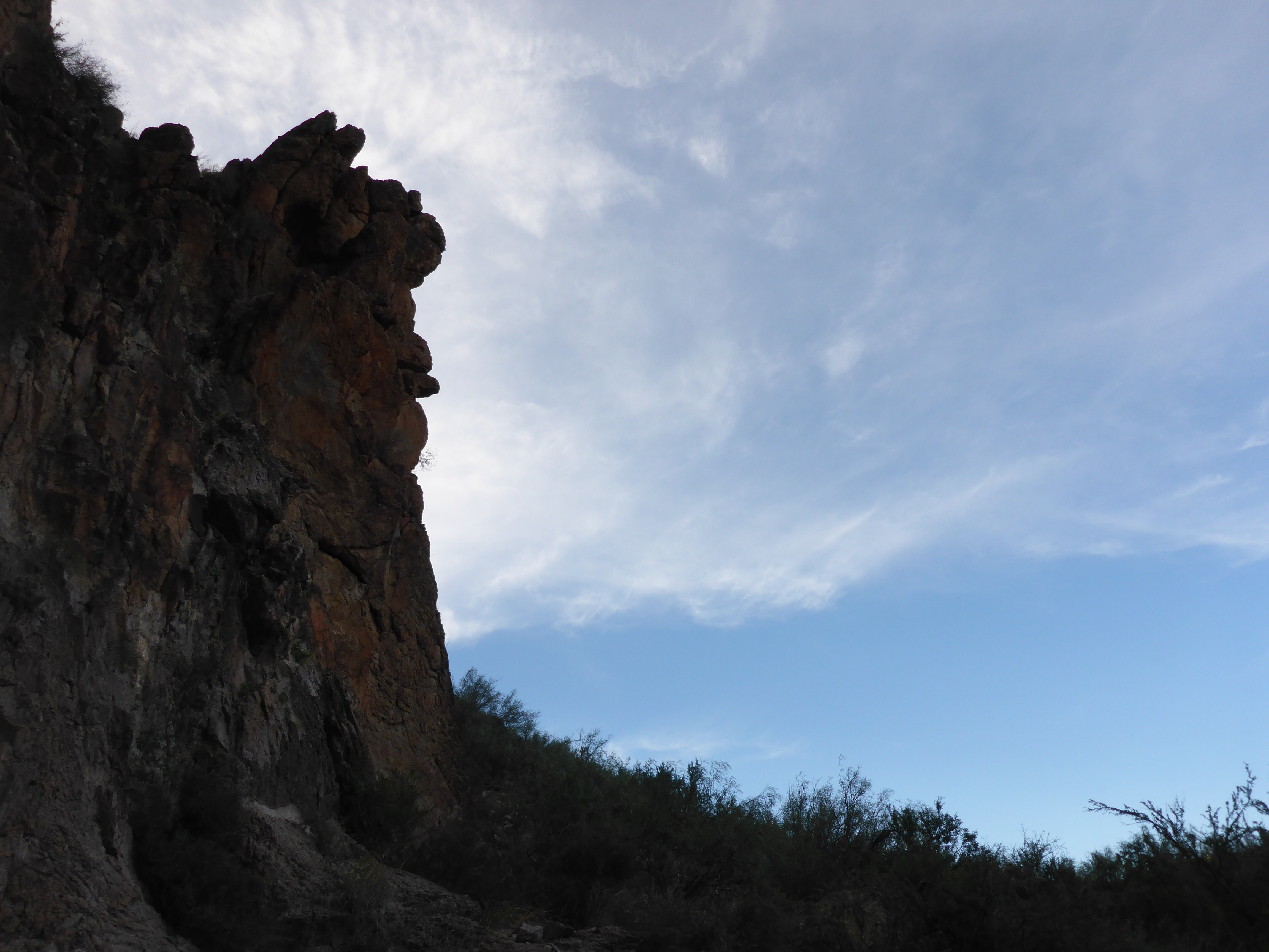
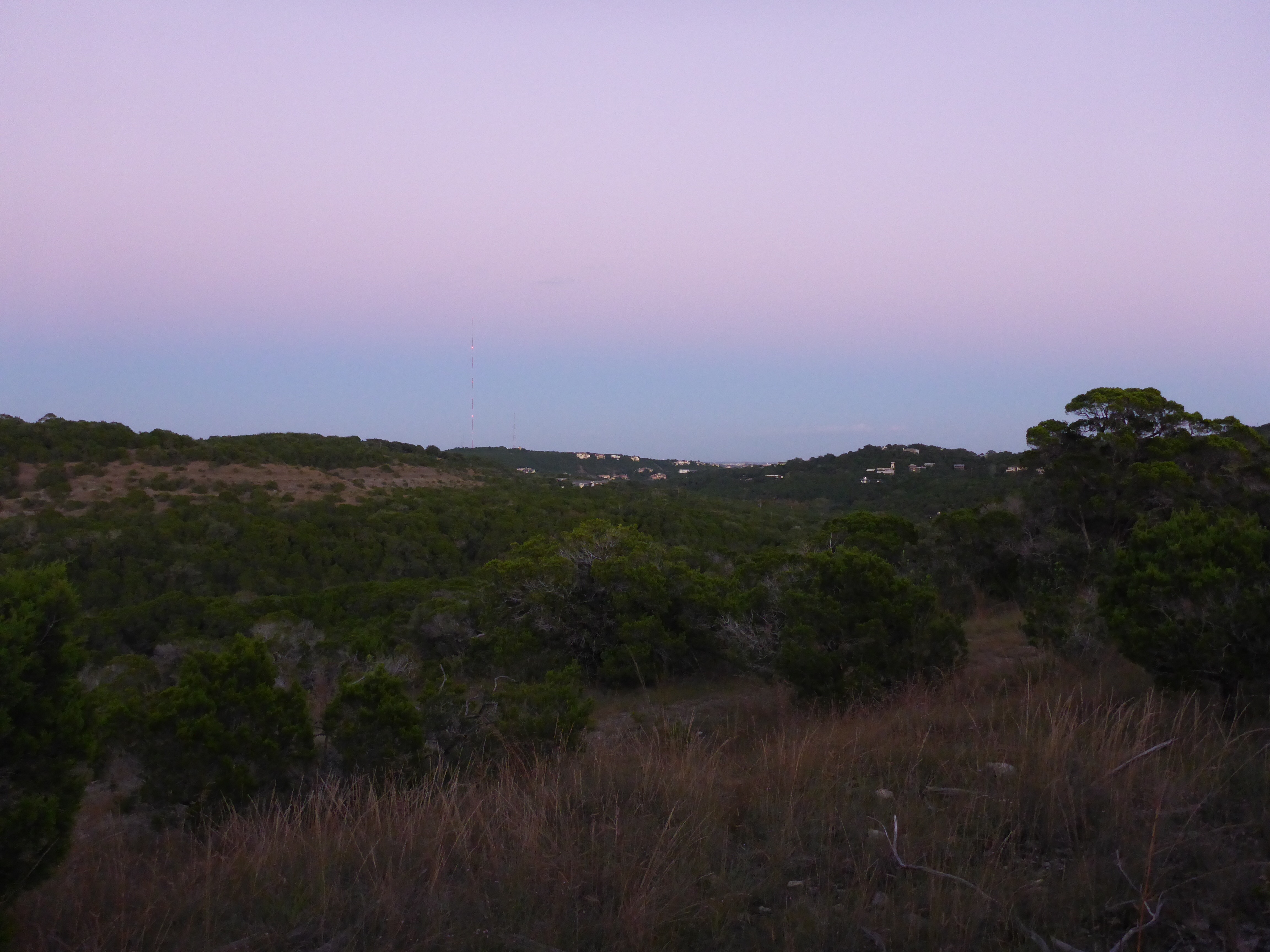
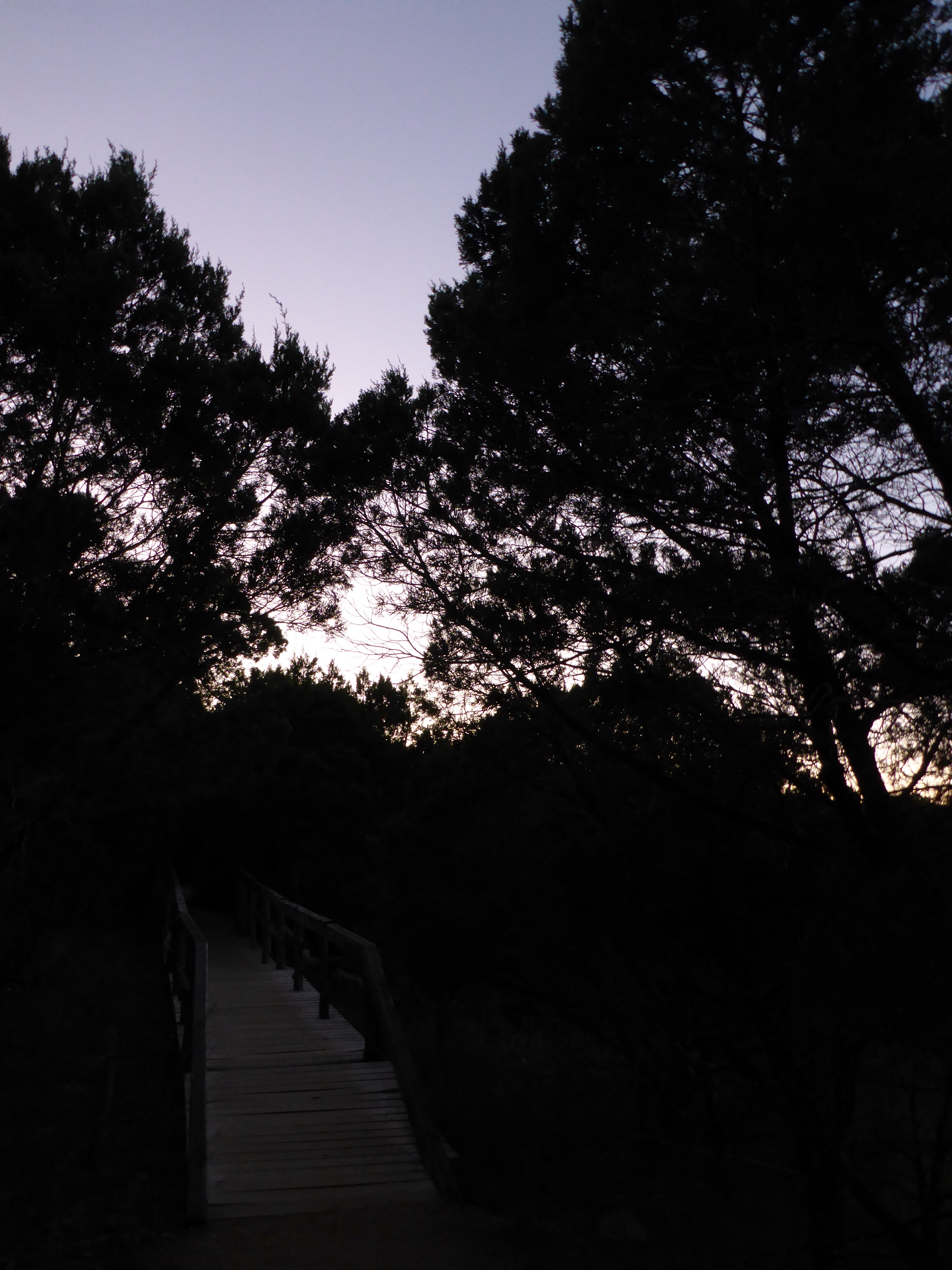
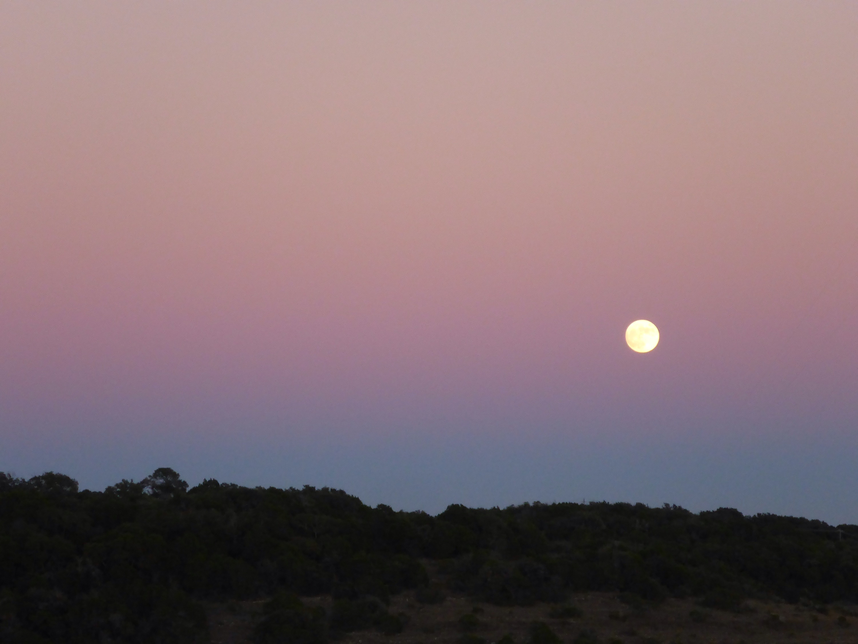
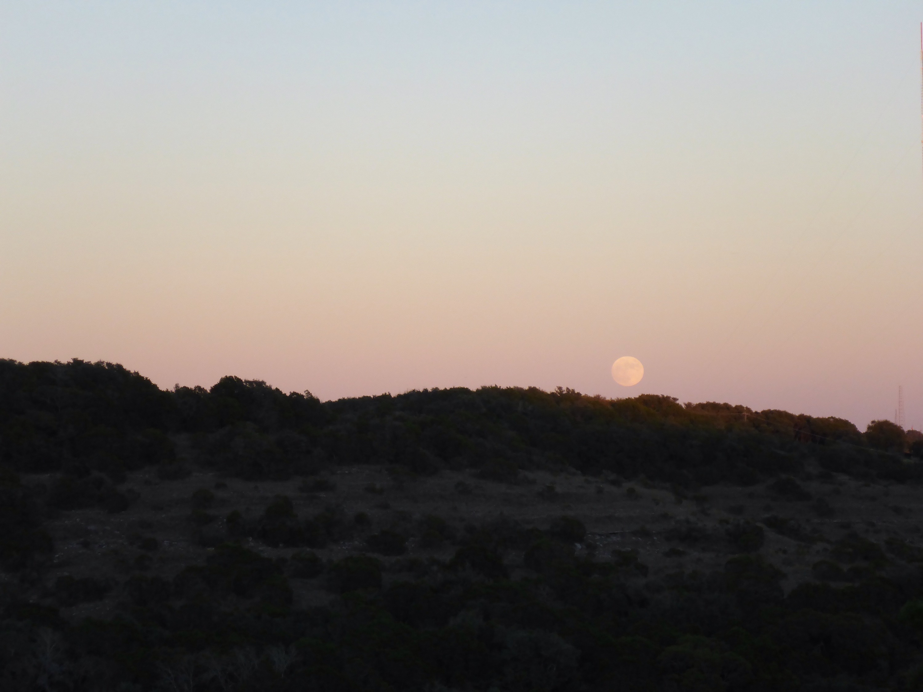
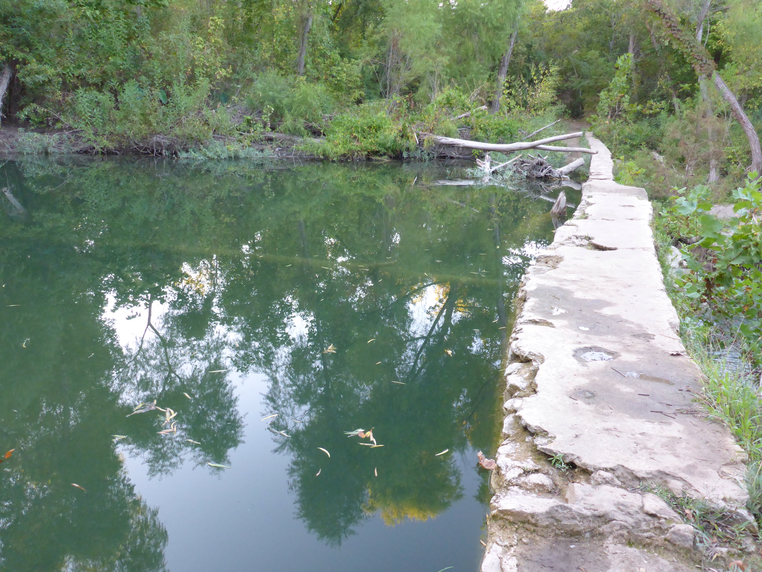
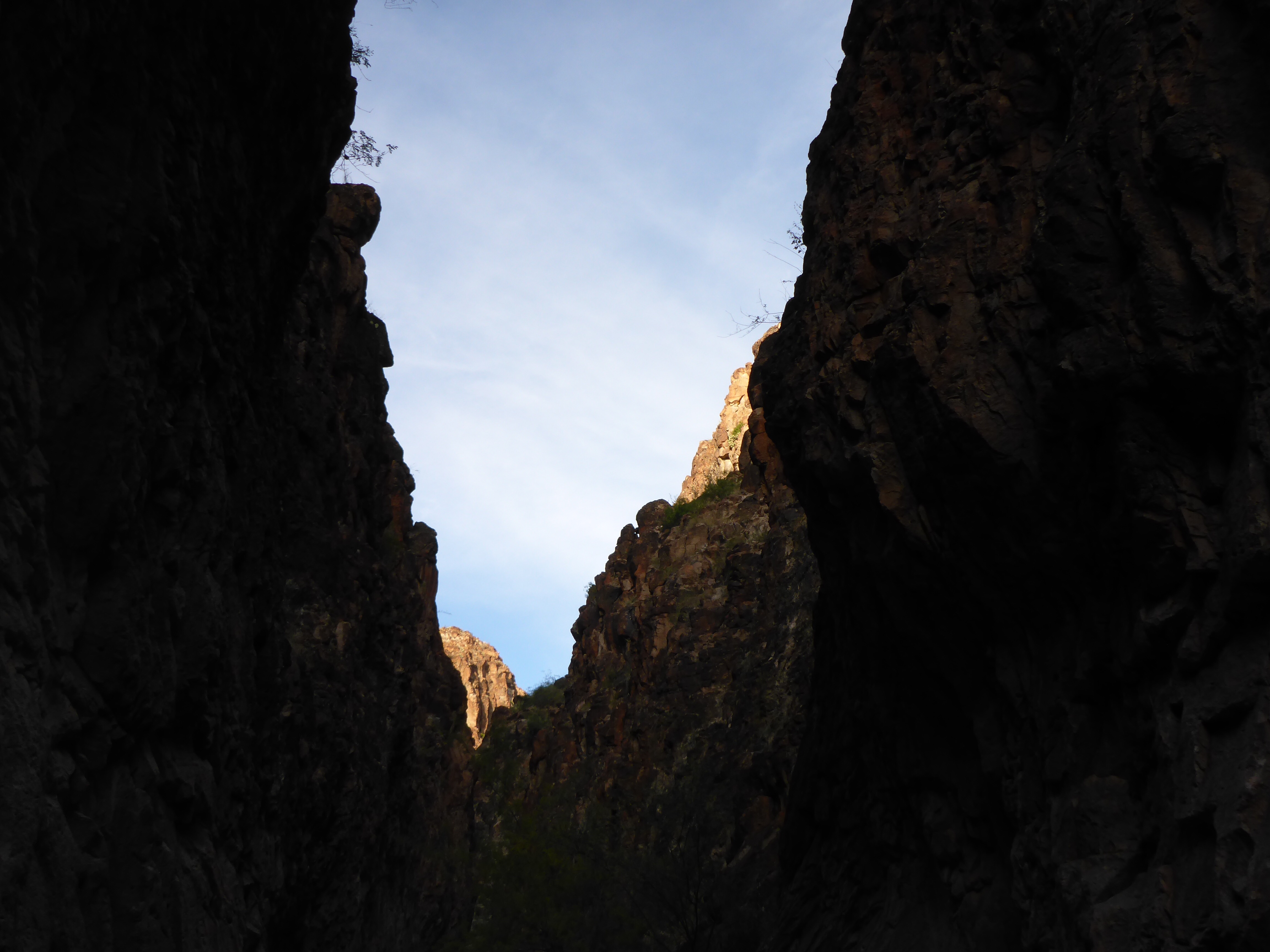
This hike through a slot canyon was a great experience.  It was wonderful to feel enclosed with high canyon walls on either side.  At times, I had to scramble down rock formations to continue onward.  There was only the sound of the crunching of sand and gravel beneath my hiking boots.  The sun was getting close to setting, the temperature was cooler in the shadows, and around each new corner was a surprise.  Every few steps was a grand photo opportunity.  ðŸ™‚

IMG_2582

IMG_2585

IMG_2586

IMG_2587

IMG_2589

IMG_2591

IMG_2592

IMG_2593

IMG_2598

IMG_2599

IMG_2601

IMG_2602

IMG_2603

IMG_2604

IMG_2609

Closed Canyon – Trail Map

IMG_2612

Closed Canyon is a slot canyon located in the Big Bend Ranch State Park.  The trailhead is just off of Farm to Market Road 170, and the hike is about 1.4 miles long round trip.  It is a beautiful place.  According to the brochure, “Mountain lion, javelina, rock squirrels and a variety of lizard and snake species including the greater earless lizard, desert spiny lizards and the western diamondback rattlesnake may be seen in or near the canyon.”  Lucky for me, I had the Canyon all to myself.

IMG_2579

IMG_2578

IMG_2611

IMG_2613

IMG_2580

IMG_2581

IMG_2610

Lost Creek – Trail Map

IMG_2351

This is actually a trick – there is no trail map for this hike.  However, I found a pretty good set of directions at this link.

  • You Google the Lost Creek Country Club and map out the directions
  • Find a spot to park on Bend of the River Drive just before it crosses Barton Creek
  • Look for the start of the trail just under the bridge
  • Hike a short distance to the big flat rock in the middle of the Creek
  • Quickly look for a convenient spot to ford Barton Creek
  • Pick up the dirt trail on the other side
  • Follow this sandy, tree covered trail for about a mile until you run into the waterfalls on Lost Creek

IMG_2352

IMG_2353

IMG_2357

IMG_2363

IMG_2354

IMG_2356

IMG_2358

St. Edwards Park

IMG_6295

Hello St. Edwards Park!  It has been a while.  I started off on the Tim and Maggie Boatright Memorial Trail that runs between Spicewood Springs Road and Bull Creek.  This part of the trail has a few lingering wildflowers and a busted up house.  Then I climbed up the path at St. Edwards Park, took in the view of the hills, got lost in the woods, found my way downhill to the dam, watched the fish swim around, enjoyed the soothing sounds of the waterfall, and headed back for my car.  All adventures were accomplished before sunset.

IMG_6296

IMG_6297

IMG_6298

IMG_6303